Mount Kostrych
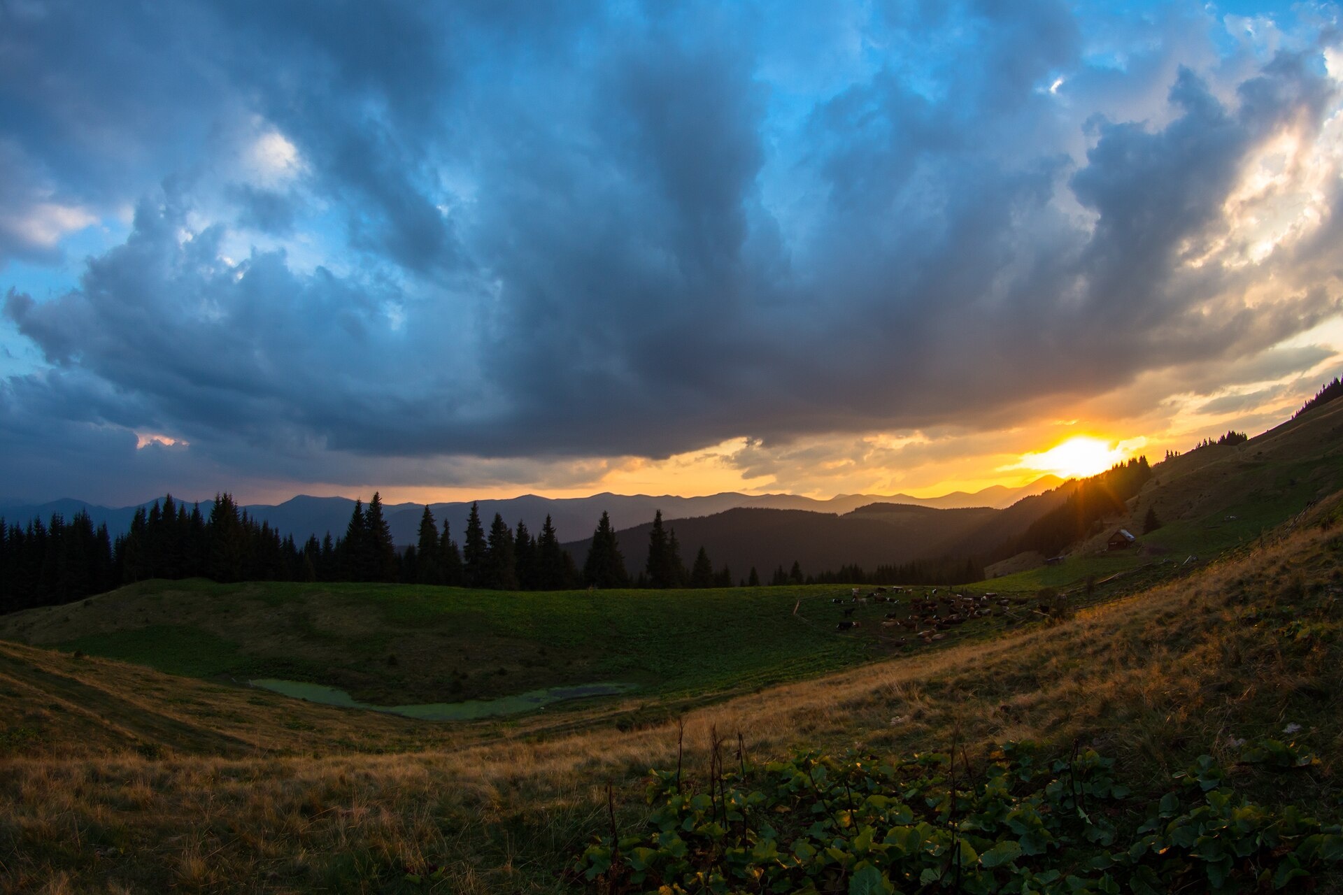
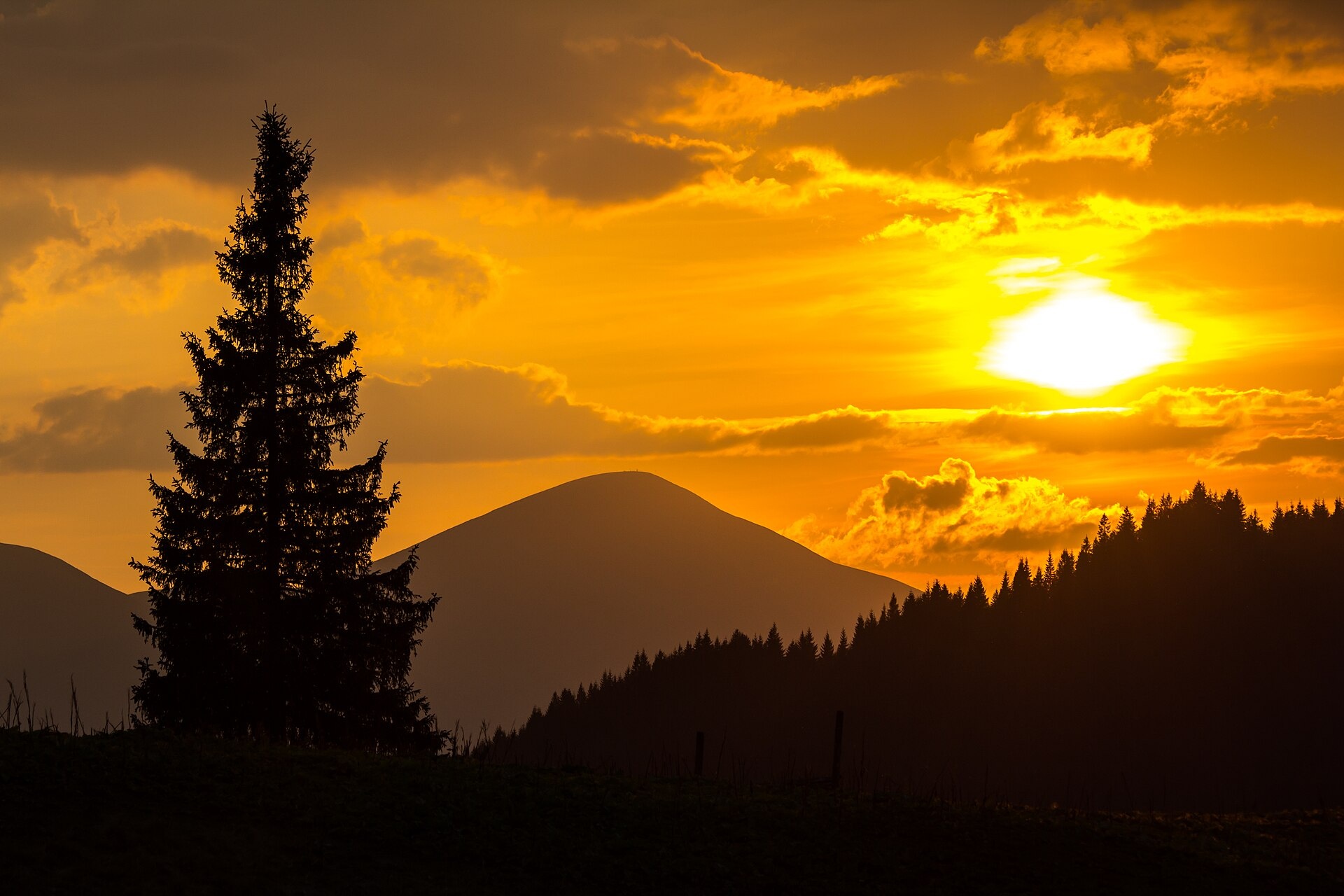
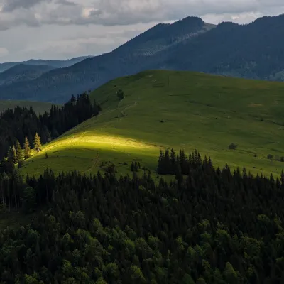
Kostrych is a 1,544 m summit on the Kostrycha ridge, in the Verkhovyna district of Ivano-Frankivsk Oblast. The ridge lies between the Chornohora crest to the south-west and the Pokuttia-Bukovyna Carpathians to the east; besides Kostrych it includes its highest peak, Kostrycha (1,586 m, about 2.1 km to the north-west), and Kostrytsia (1,512 m, about 2.4 km to the south-east). The nearest villages are Kryvopillia (about 3.8 km), Bystrets (5.8 km), Staishche (6.1 km) and Krasnyk (7 km).
Do not confuse Kostrych with neighbouring Kostrycha: they are two different summits of the same ridge. About 1.6 km south of Kostrych rises Yavirnyk (1,460 m), 2.7 km away Rizha Kezhkovata (1,341 m), and 3.4 km to the north Makovytsia (1,161 m) above the Kryvopillia Pass. The ridge is covered with broad pastures where haystacks probably once stood.
How to get there
Four of our routes pass within 300 m of the summit. Almost directly over the top lead Voronenko – Mount Kukul – Staishche (31.1 km) and Krasnyk – Kostrych ridge – Mount Kukul – Voronenko (39.2 km, about 3,060 m of ascent). From Krasnyk to Hoverla via Kostrych runs Krasnyk – Shpytsi – Lake Nesamovyte – Hoverla – Zaroslyak base (35.2 km). The shortest ascent is Bystrets – Psarivka pasture – Mount Kostrych (15 km), and from Staishche there is Staishche – Kostrych (7.5 km), ending about 400 m from the summit. The East Carpathian Tourist Trail also passes nearby.
Water, shelter and safety
Our map shows the nearest springs about 660–800 m to the south-west, south-east and north-east (at 1,270–1,420 m), with more 1–1.8 km away; the condition of most is unknown and some dry up in summer. A working hut on the Bolota pasture stands about 860 m to the south-east, and a hut on the Psarivka pasture about 2.6 km to the south-west. The crest is treeless and exposed to wind, so get off it if a thunderstorm approaches. The nearest summit with our forecast is the weather on Brebeneskul (about 10 km). In an emergency call 112 or 101 — contacts of the nearest units are on our mountain rescue page.
Interesting facts
- The ridge’s name is linked to the old word “koster”, a haystack; another version derives it from fescue (kostrytsia), a grass growing on Carpathian slopes.
- Between the wars a hikers’ shelter in the style of a Hutsul homestead stood on Kostrycha — it served as a model for the shelter below Kukul, opened in 1938.
Photos: Мельник Олександр Вікторович, CC BY-SA 4.0; Мельник Олександр Вікторович, CC BY-SA 4.0 — Wikimedia Commons.
Location on the map
Comments
Places to stay nearby
 HotelHotel-Restaurant "Bukov'yan"4.1 km from Mount KostrychHotel-Restaurant "Bukov'yan" offers a cozy getaway in the Carpathians, far from the hustle and bustle of the city.Nearby: Kryvopillia Pass 800 mPolonyna Dil 2.4 km6 trails
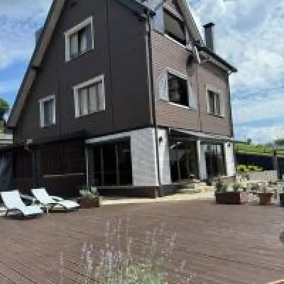 HomesteadUnderDil4.7 km from Mount KostrychThe accommodation UnderDil is located in the village of Kryvopillia, just 42 km from the landmark "Vodospad Probiy".Nearby: Polonyna Dil 1.2 kmKryvopillia Pass 900 m6 trails
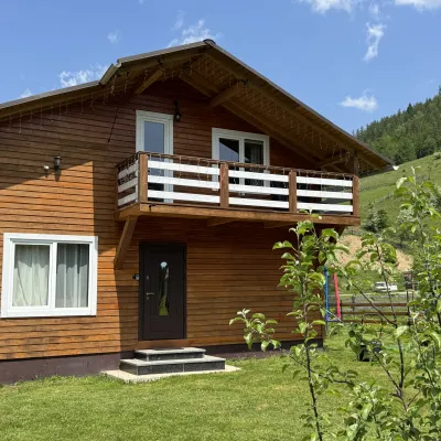 CottageDida's Estate8.4 km from Mount KostrychA modern cottage in the Carpathians for your vacation Located 890 m above sea level in the colorful Hutsul village of VolovaNearby: Polonyna Dil 2.5 kmMt Rotilo 3.1 km5 trails
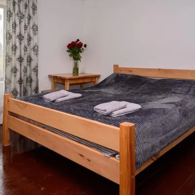 HomesteadHomestead "Sharm karpaty"9.9 km from Mount KostrychSaunaSPABBQNearby: Polonyna Krinta 2.5 kmMuseum of mushrooms 2.8 km17 trails
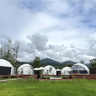 HotelGlamping EcoSpace Ethno9.9 km from Mount KostrychHot tubPoolNearby: Polonyna Krinta 2.5 kmMuseum of mushrooms 2.8 km17 trails
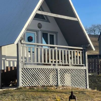 HomesteadHomestead "Bilosnizhny"10 km from Mount KostrychHomestead "Bilosnizhny" is located in the village of Iltsi, 250 meters from the main road, 8 km to the center of the village of Verkhovyna, near the Tatariv-Verkhovyna...Nearby: Assumption Church 2.8 kmMt Bila Kobyla 5.9 km17 trails
Trails nearby
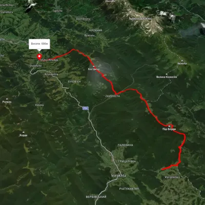 HardMulti-dayUnmarkedVoronenko village to Staishche villagevia Mount KukulElevation profile694–1 572 m31.1 kmascent 1 883 m≈ 11.5 h walkingunder 1 km from Mount Kostrych
 HardMulti-dayUnmarkedKrasnyk village to Voronenko villagevia Kostrych ridge, Mount KukulElevation profile637–1 637 m39.2 kmascent 3 063 munder 1 km from Mount Kostrych
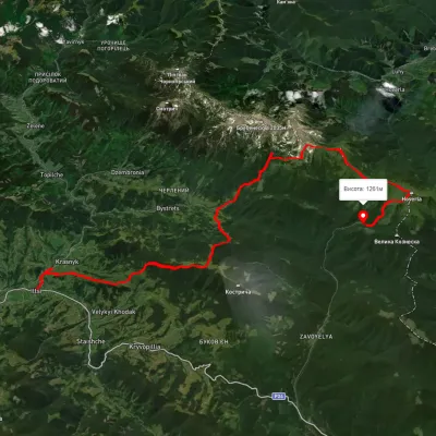 HardMulti-dayUnmarkedKrasnyk village to Zaroslyak basevia Mount Shpytsi, Lake Nesamovyte +1Elevation profile634–2 053 m35.2 kmascent 2 747 munder 1 km from Mount Kostrych
Nearby attractions
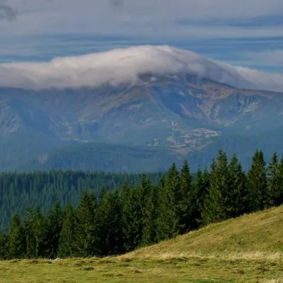 NatureKostrich Ridge2.1 km from Mount KostrychThe ridge is located in the Verkhovyna district and is a well-known tourist attraction in the Carpathians.
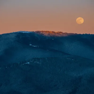 PeakMount Kostrychaaltitude 1 586 m · Chornohora range2.1 km from Mount KostrychKostrycha is the 1,586 m highest summit of the ridge of the same name. The Kostrycha ridge, which also includes Mount Kostrych (1,544 m) and Mount Kostrytsia (1,512 m)...
 PeakMount Makovytsia (Kryvopillia)altitude 1 161 m3.4 km from Mount KostrychMakovytsia is a 1,161 m summit above the village of Kryvopillia (about 2.3 km) in the Verkhovyna district of Ivano-Frankivsk Oblast.