
- Photo: Михайло Фізяр · CC BY-SA 4.0 · Wikimedia Commons
Condition
StandingLatest report: standing, usable as a shelter.
- 1 406 m
- Open fire inside (smoke hut)
- Sleeps up to 20
About
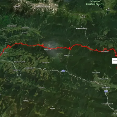
Chornohora range, about 1 410 m above sea level. The nearest settlement is Kryvopillia, about 3.9 km in a straight line. 6 of the site’s trails pass nearby, including “Krasnyk village, via Kostrych ridge and Mount Kukul to Voronenko village”.
Inside: an open fire, bunks or plank beds. Sleeps up to about 20 people. The nearest known spring is 190 m away.
On the map
Coordinates: 48.16426, 24.66359
How to get there
Trails nearby
 HardMulti-dayUnmarkedKrasnyk village to Voronenko villagevia Kostrych ridge, Mount KukulElevation profile637–1 637 m39.2 kmascent 3 063 m
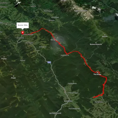
 HardMulti-dayUnmarkedIltsi village to Voronenko villagevia Mount KukulElevation profile638–1 579 m45.8 kmascent 2 345 m
 HardMulti-dayUnmarkedVoronenko village to Staishche villagevia Mount KukulElevation profile694–1 572 m31.1 kmascent 1 883 m≈ 11.5 h walking
 HardMulti-dayUnmarkedKrasnyk village to Kozmeshchykvia Mount Shpytsi, Mount HoverlaElevation profile652–2 043 m39.5 kmascent 2 613 m
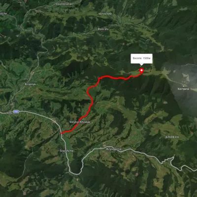 ModerateOne-dayMarkedStaishche Mount KostrychElevation profile692–1 522 m7.5 kmascent 1 106 m≈ 4 h walking
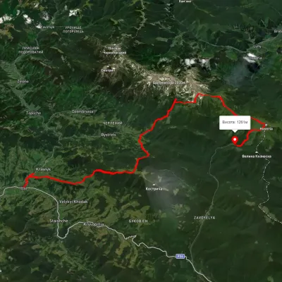 HardMulti-dayUnmarkedKrasnyk village to Zaroslyak basevia Mount Shpytsi, Lake Nesamovyte +1Elevation profile634–2 053 m35.2 kmascent 2 747 m
Nearest settlement: Kryvopillia, about 3.9 km in a straight line.
Report the condition
Been here recently? Tell us what you saw and add photos — your report appears on the page right away with today’s date.
