Kosmach village — to Bukovets village, via Mount Rotylo, Mount Hrehit, Mount Bila Kobyla
Unmarked trailmore
It may be partly marked. Unmarked trails have no information boards, signposts or auxiliary signs (water, campsite, etc.). The decision to walk the trail is entirely your own responsibility.
Trail map
Where to stay nearby
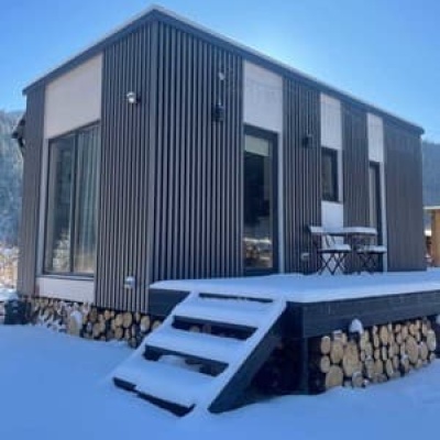
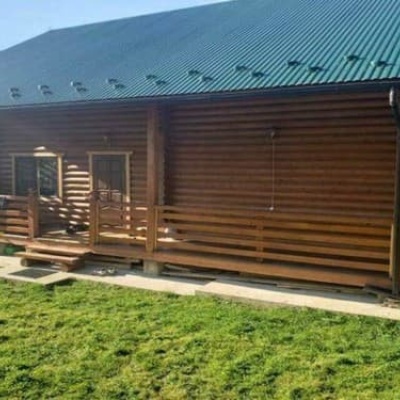
About the trail
Route Kosmach village, via Mount Rotylo, Mount Hrehit and Mount Bila Kobyla to Bukovets village. Along the route you will see: Kosmatska's bald head, Church of the Holy Apostles Peter and Paul, Kosmach, Historical and local history museum of Kosmach village, Ukrainian Antiquities Museum in Kosmach, Museum of sheep breeding in Kosmach, Oleksa Dovbush Museum, Kosmach and 7 more.
At a glance
A route of 40.2 km with 1,739 m of ascent from Kosmach village to Bukovets village. Estimated walking time: about 13 h, not counting stops — a very long day, so it is easier split into 2 days. Difficulty: hard. Waymarking is missing or partial.
Route stages
- 0–5 kmGentle ups and downs at 610–780 m
- 5–10 kmClimb of 640 m to Mount Lysyna Kosmatska (1,465 m)
- 10–27 kmGentle ups and downs at 1,260–1,450 m, past Mount Munchelyk, Mount Rotilo, Mount Gregit, Mount Bila Kobyla
- 27–30 kmDescent of 310 m (down to 1,134 m)
- 30–34 kmClimb of 220 m (up to 1,355 m)
- 34–40 kmDescent of 560 m to Bukovets village
Steepest kilometre: km 6–7, a climb of 220 m (≈22%).
Water and overnight stays
Springs near the trail: at km 5, 8, 11, 12, 16, 17, 19, 22, 23 and 25 etc.. Some springs run low or dry up in late summer.
Huts and shelters near the trail: Hut on Polonyna Pozheratul (km 12), Hut “Foresters' Cabin” (km 12), Hut on Polonyna Munchelyk (km 13), Hut below Mount Rotylo (km 16), Mountain shelter on Polonyna Kramy (km 20), Hut below Mount Vesnarka (km 22), Hut below Mount Bubenska (2) (km 23). Places to stay near the start: Kosmach; near the finish: Verkhovyna.
A possible split into days:
- Day 1: km 0–20, ≈6.5 h — overnight: Mountain shelter on Polonyna Kramy (hut)
- Day 2: km 20–40, ≈6 h — finish
When to go
Best time: May to October. In winter deep snow is possible, so experience and winter gear are needed.
Getting there
Start: Kosmach village. Most places to stay near the start are in Kosmach. This is a one-way route: the finish is 17 km from the start in a straight line, so plan your way back in advance.
FAQ
- How long does the route take?
- Estimated walking time: about 13 h, not counting stops — a very long day, so it is easier split into 2 days.
- Is there water on the route?
- Springs near the trail: at km 5, 8, 11, 12, 16, 17, 19, 22, 23 and 25 etc.. Some springs run low or dry up in late summer.
- Where can I stay overnight?
- Huts and shelters near the trail: Hut on Polonyna Pozheratul (km 12), Hut “Foresters' Cabin” (km 12), Hut on Polonyna Munchelyk (km 13), Hut below Mount Rotylo (km 16), Mountain shelter on Polonyna Kramy (km 20), Hut below Mount Vesnarka (km 22), Hut below Mount Bubenska (2) (km 23). Places to stay near the start: Kosmach; near the finish: Verkhovyna. Possible overnight stops: Mountain shelter on Polonyna Kramy (km 20).
Water and shelter on the route
- Spring (Kosmach, 6)km 5.2 from the start · 210 m off the path · Not verified · 756 m
- Spring (Kosmach, 3)km 8.3 from the start · 200 m off the path · Not verified · 1 255 m
- Spring (Kosmach, 2)km 8.8 from the start · 220 m off the path · Not verified · 1 308 m
- Spring (Volova, 9)km 11 from the start · 80 m off the path · Not verified · 1 366 m
- Spring (Volova, 7)km 11.8 from the start · 80 m off the path · Not verified · 1 303 m
- Hut on Polonyna Pozheratulkm 11.8 from the start · Not verified · 1 312 m
- Spring below Mount Khorde (17)km 12.3 from the start · 80 m off the path · Not verified · 1 314 m
- Hut “Foresters' Cabin”km 12.4 from the start · Not verified · 1 300 m
- Hut on Polonyna Munchelykkm 12.7 from the start · Not verified · 1 284 m
- Spring (Volova, 8)km 12.7 from the start · 50 m off the path · Not verified · 1 285 m
- Spring (Volova, 10)km 13.1 from the start · 270 m off the path · Not verified · 1 291 m
- Spring below Mount Rotylo (4)km 15.5 from the start · 80 m off the path · Not verified · 1 359 m
- Hut below Mount Rotylokm 15.6 from the start · Poor condition · 1 366 m
- Spring below Mount Rotylo (5)km 17 from the start · Not verified · 1 392 m
- Spring below Mount Hrehitkm 19.2 from the start · 150 m off the path · Not verified · 1 280 m
- Mountain shelter on Polonyna Kramykm 19.4 from the start · 200 m off the path · Standing · 1 288 m
- Spring below Mount Hrehit (4)km 21.8 from the start · 240 m off the path · Not verified · 1 256 m
- Hut below Mount Vesnarkakm 21.8 from the start · 200 m off the path · Standing · 1 263 m
- Spring below Mount Bubenska (3)km 22.8 from the start · 90 m off the path · Not verified · 1 258 m
- Hut below Mount Bubenska (2)km 23.1 from the start · Not verified · 1 269 m
- Spring below Mount Bubenska (4)km 23.4 from the start · Not verified · 1 245 m
- Spring below Mount Bila Kobyla (4)km 24.4 from the start · Not verified · 1 318 m
- Spring below Mount Bila Kobyla (5)km 27 from the start · 120 m off the path · Not verified · 1 322 m
- Spring (Snidavka)km 34.4 from the start · 200 m off the path · Not verified · 1 243 m
- Spring (Kryvorivnia, 2)km 36.6 from the start · 150 m off the path · Not verified · 1 192 m
Comments
What to see on the trail
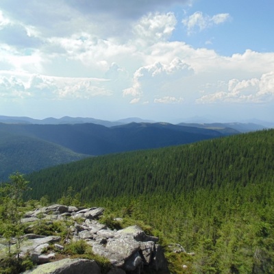 Kosmatska's bald headaltitude 612 mThe mighty Kosatska Lysyna (1464m) is an extremely picturesque peak that is worth visiting for everyone who is in love with the Carpathians.
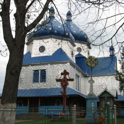 Church of the Holy Apostles Peter and Paul, Kosmachaltitude 612 mAnd it is impossible to imagine Kosmach without its wooden churches, especially the ancient Church of Peter and Paul, which rises above the village...
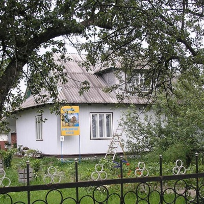 Historical and local history museum of Kosmach villagealtitude 612 mThe KosmachHistorical and Local Lore Museum is a historical and local lore house museum in the village of Kosmach, Kosiv district, Ivano-Frankivsk...
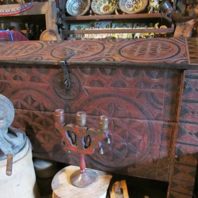 Ukrainian Antiquities Museum in Kosmachaltitude 612 m
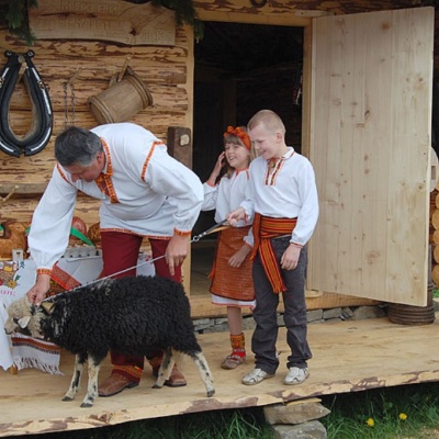 Museum of sheep breeding in Kosmachaltitude 612 mWe will learn about the traditional occupation of highlanders - sheep breeding, the process of milk processing, cheese, vurda and brynza production...
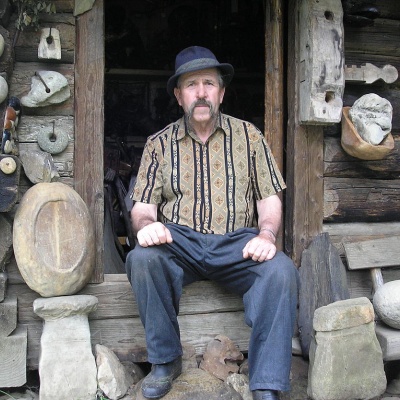 Oleksa Dovbush Museum, Kosmachaltitude 612 mThere are a large number of museums in our region. They are located not only in Ivano-Frankivsk, but also throughout our region.
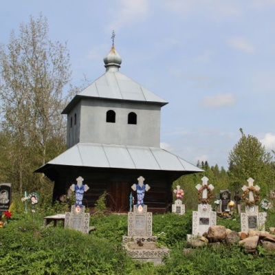 Church of St. Paraskeva, Kosmachaltitude 612 mIn the village of Kosmach, Kosiv district, Ivano-Frankivsk region, there is the Church of St.
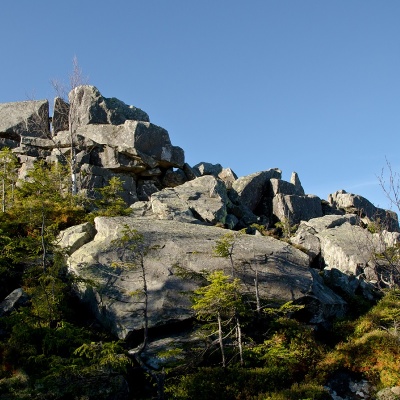 Mount Rotiloaltitude 1 483 mRotylo is a peak in the Ukrainian Carpathians, the highest mountain of the Pokutsko-Bukovyna mountain range.
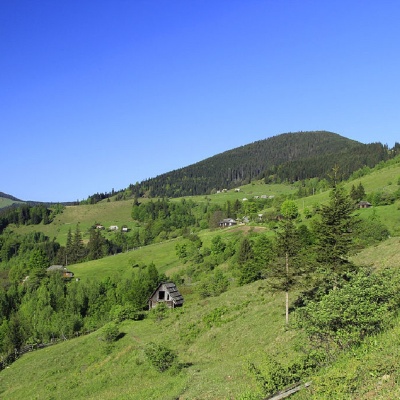 Mount Gregitaltitude 1 472 mMount Gregit is a 1472-meter peak in the Ukrainian Carpathians, which lies within the Pokutsko-Bukovyna Carpathians.
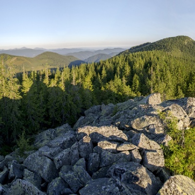 Mount Bila Kobylaaltitude 1 477 mMount Bila Kobyla is a peak in the Ukrainian Carpathians, which is located within the Pokutsko-Bukovyna mountain range.
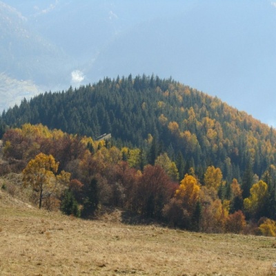 Igrets Ridgealtitude 510 mTheIgrets Ridge stretches from the Brusturka River valley to the Bukovets Pass. The highest peak of the ridge is Chornyi Hrun, with a height of...
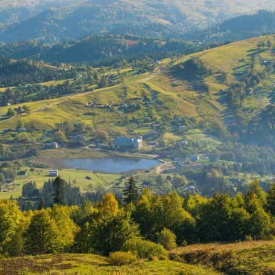 Lake Bukovets (Bukovetsky Pass)altitude 927 mThe large lake Bukivets is located on the border of Kosiv and Verkhovyna districts. There is a large lake in the center of the village of Bukivets,...
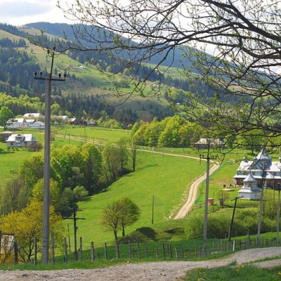 Bukovelian passaltitude 510 mIt is a place where many tourist routes converge and where you can take a break from the climbs.The Bukovetsky pass is very picturesque and in its...
Trails nearby
All trails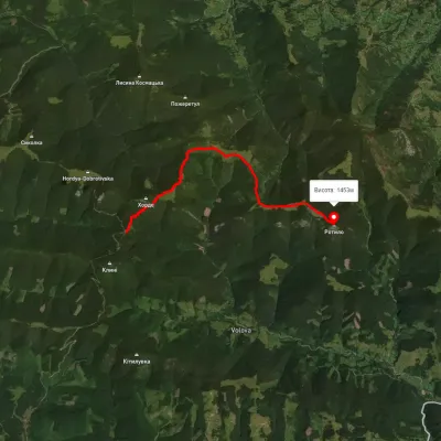 ModerateOne-dayMarkedTo Mount RotyloElevation profile1 210–1 453 m8.5 kmascent 646 m≈ 3.5 h walking
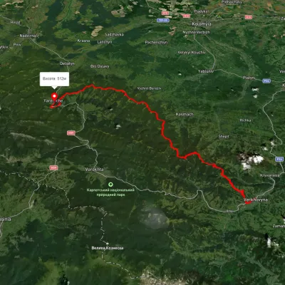 HardMulti-dayUnmarkedVerkhovyna to Yaremchevia Mount Bila Kobyla, Mount Makovytsia +1Elevation profile489–1 488 m63.8 kmascent 2 447 m
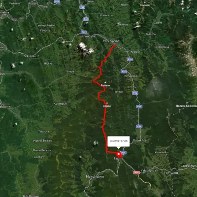 HardMulti-dayUnmarkedVerkhovyna to Tatariv villagevia Mount Bila Kobyla, Mount KhordeElevation profile611–1 461 m38.3 kmascent 1 485 m≈ 12.5 h walking