Mount Haborianska
Haborianska (also Haborianska Hyha) is a 1,445 m mountain (1,444.5 m exactly; some sources give 1,447 m) in the Pokuttia-Bukovyna Carpathians. It stands in the Verkhovyna district of Ivano-Frankivsk Oblast, north-east of Staishche and north-west of Berezhnytsia; Volova is also close by.
The summit is treeless; the slopes are steep (except the south-eastern one) and mostly forested. Haborianska is surrounded by well-known peaks: Rotylo, the highest summit of these mountains, to the north-west, Hrehit to the north and Bila Kobyla about 2.5 km to the south-east.
How to get there
Our site has no marked route to Haborianska itself yet. The nearest peaks with their own pages are Bubenska (about 1.9 km away) and Bila Kobyla, and Haborianska combines well with a hike to them. You can start in Staishche or Volova, each roughly 5.5 km from the summit as the crow flies.
Water, shelter and safety
Our map shows springs below Mount Bubenska 380–450 m from the summit, at about 1,250–1,280 m, and shepherd huts below the same mountain 600 m away. Another spring lies below Bila Kobyla, about a kilometre off. The springs’ condition is unknown, so carry spare water. The bare summit is exposed to wind, and in fog it is easy to head the wrong way between the neighbouring peaks — keep an offline track. In an emergency call 112 or 101 — contacts of the nearest units are on our mountain rescue page.
Interesting facts
- Haborianska sits in a ring of well-known peaks: Rotylo, Hrehit and Bila Kobyla are 2.5–3.3 km away, and Bubenska less than 2 km.
- Sources give its height differently: 1,444.5 m or 1,447 m.
Comments
Places to stay nearby
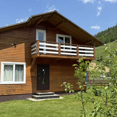 CottageDida's Estate5.4 km from Mount HaborianskaA modern cottage in the Carpathians for your vacation Located 890 m above sea level in the colorful Hutsul village of VolovaNearby: Polonyna Dil 2.5 kmMt Rotilo 3.1 km5 trails
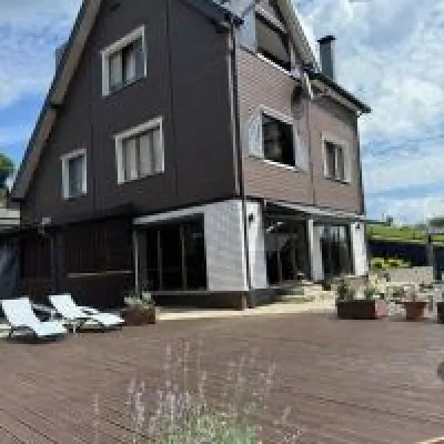 HomesteadUnderDil7.5 km from Mount HaborianskaThe accommodation UnderDil is located in the village of Kryvopillia, just 42 km from the landmark "Vodospad Probiy".Nearby: Polonyna Dil 1.2 kmKryvopillia Pass 900 m6 trails
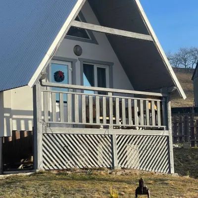 HomesteadHomestead "Bilosnizhny"7.8 km from Mount HaborianskaHomestead "Bilosnizhny" is located in the village of Iltsi, 250 meters from the main road, 8 km to the center of the village of Verkhovyna, near the Tatariv-Verkhovyna...Nearby: Assumption Church 2.8 kmMt Bila Kobyla 5.9 km17 trails
 HotelHotel-Restaurant "Bukov'yan"8.9 km from Mount HaborianskaHotel-Restaurant "Bukov'yan" offers a cozy getaway in the Carpathians, far from the hustle and bustle of the city.Nearby: Kryvopillia Pass 800 mPolonyna Dil 2.4 km6 trails
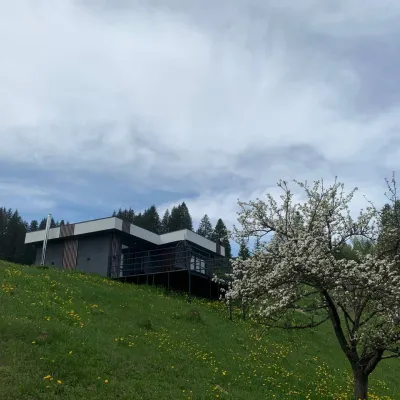 CottageRest in the Carpathians9.8 km from Mount HaborianskaNew modern cottage for a good rest and positive emotions.Nearby: Assumption Church 1.3 kmPolonyna Krinta 6.2 km12 trails
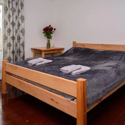 HomesteadHomestead "Sharm karpaty"10 km from Mount HaborianskaSaunaSPABBQNearby: Polonyna Krinta 2.5 kmMuseum of mushrooms 2.8 km17 trails
Trails nearby
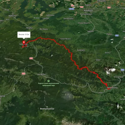 HardMulti-dayUnmarkedVerkhovyna to Yaremchevia Mount Bila Kobyla, Mount Makovytsia +1Elevation profile489–1 488 m63.8 kmascent 2 447 munder 1 km from Mount Haborianska
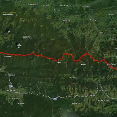 HardMulti-dayUnmarkedVerkhovyna to Mykulychyn villagevia Mount Bila Kobyla, Mount Khorde +1Elevation profile587–1 396 m41.3 kmascent 1 564 m≈ 13.5 h walkingunder 1 km from Mount Haborianska
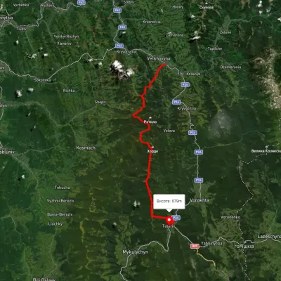 HardMulti-dayUnmarkedVerkhovyna to Tatariv villagevia Mount Bila Kobyla, Mount KhordeElevation profile611–1 461 m38.3 kmascent 1 485 m≈ 12.5 h walkingunder 1 km from Mount Haborianska
Nearby attractions
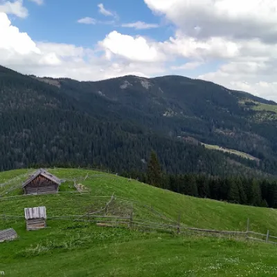 PeakMount Bubenskaaltitude 1 232 m1.9 km from Mount HaborianskaMount Bubenska (also known as Bobenska or Bubynska) is one of the peaks in the Carpathian Mountains in western Ukraine.
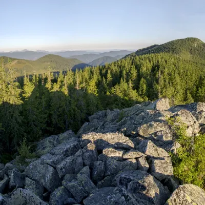 PeakMount Bila Kobylaaltitude 1 477 m · Pokuttia-Bukovyna Carpathians range2.5 km from Mount Haborianska5 trails to the topMount Bila Kobyla is a peak in the Ukrainian Carpathians, which is located within the Pokutsko-Bukovyna mountain range.
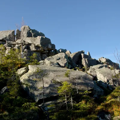 PeakMount Rotiloaltitude 1 483 m · Pokuttia-Bukovyna Carpathians range2.8 km from Mount Haborianska6 trails to the topRotylo is a peak in the Ukrainian Carpathians, the highest mountain of the Pokutsko-Bukovyna mountain range.