Mount Munchelyk
Munchelyk is a 1,299 m summit in the Pokuttia-Bukovyna Carpathians, in the Verkhovyna district of Ivano-Frankivsk Oblast. The nearest village is Volova (about 4.5 km), with Shepit (about 9 km) and Kosmach (9.3 km) further away.
Munchelyk is surrounded by the best-known summits of the area: the cone of Versalem (1,407 m) rises about 1.9 km to the south-west, Khorde (1,479 m) 2.5 km to the west, and Rotylo (1,483 m), the highest peak of the Pokuttia-Bukovyna Carpathians, 3.4 km to the south. North of Munchelyk lie Munchel (1,389 m, 1.2 km), Pozheretul (1,413 m, 2 km) and Lysyna Kosmatska (1,465 m, 3.3 km). The Munchelyk pasture spreads below the summit.
How to get there
Six of our routes pass within 300 m of Munchelyk. The shortest is To Mount Rotylo (8.5 km). Right over the summit, about 10 m from it, runs Verkhovyna – Bila Kobyla – Khorde – Tatariv (38.3 km). Also close by are Mykulychyn – Khorde – Rotylo – Kosmach (39.7 km), Kosmach – Rotylo – Hrehit – Bila Kobyla – Bukovets (40.2 km) and the long traverse Verkhovyna – Bila Kobyla – Makovytsia – Dovbush Rocks – Yaremche (63.8 km). From Kosmach to Rotylo leads Kosmach – Mount Rotylo (9.6 km), passing about 750 m from Munchelyk.
Water, shelter and safety
Munchelyk is well provided with water and shelter: on our map a hut on the Munchelyk pasture stands about 110 m to the north-east, with a spring next to it (at about 1,285 m). About 350 m to the north there are the “Foresters’ Hut” and a hut below Khorde, 470 m to the north-west a picnic shelter and a spring below Khorde, and another spring 590 m to the east. A hut on the Pozheratul pasture stands about 840 m to the north. The condition of the springs is unknown, so carry some water just in case. The nearest summit with our forecast is the weather on Khomiak (about 21 km). In an emergency call 112 or 101 — contacts of the nearest units are on our mountain rescue page.
Interesting facts
- Neighbouring Versalem is an almost perfect cone: only its western slopes merge into a ridge leading to Rotylo.
- Rotylo (1,483 m), 3.4 km from Munchelyk, is the highest peak of the Pokuttia-Bukovyna Carpathians.
Comments
Places to stay nearby
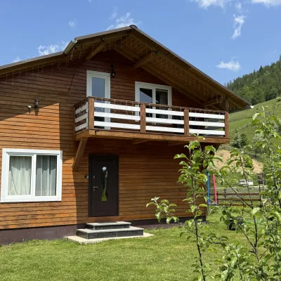 CottageDida's Estate4.5 km from Mount MunchelykA modern cottage in the Carpathians for your vacation Located 890 m above sea level in the colorful Hutsul village of VolovaNearby: Polonyna Dil 2.5 kmMt Rotilo 3.1 km5 trails
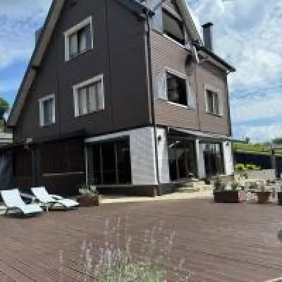 HomesteadUnderDil8.2 km from Mount MunchelykThe accommodation UnderDil is located in the village of Kryvopillia, just 42 km from the landmark "Vodospad Probiy".Nearby: Polonyna Dil 1.2 kmKryvopillia Pass 900 m6 trails
 HotelHotel-Restaurant "Bukov'yan"9.2 km from Mount MunchelykHotel-Restaurant "Bukov'yan" offers a cozy getaway in the Carpathians, far from the hustle and bustle of the city.Nearby: Kryvopillia Pass 800 mPolonyna Dil 2.4 km6 trails
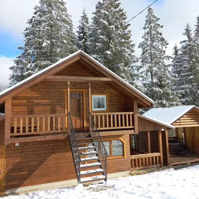 CottageOn the Mountain11 km from Mount MunchelykBBQKitchenWi‑FiNearby: Austrian viaduct bridge 2.5 kmPolonyna Borsuchyna 5.3 km8 trails
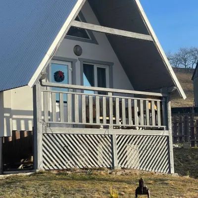 HomesteadHomestead "Bilosnizhny"14 km from Mount MunchelykHomestead "Bilosnizhny" is located in the village of Iltsi, 250 meters from the main road, 8 km to the center of the village of Verkhovyna, near the Tatariv-Verkhovyna...Nearby: Assumption Church 2.8 kmMt Bila Kobyla 5.9 km17 trails
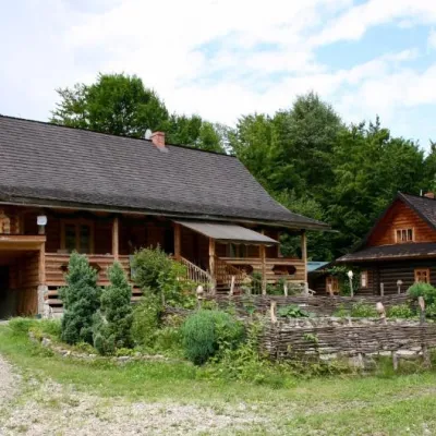 HomesteadStara Khata15 km from Mount Munchelyk⚜️Nestled between high mountains and the rushing Pystynka River, surrounded by clean Carpathian air, is the cozy Homestead "STARA KHATA"Nearby: Polonyna Rosokhata 2.3 kmDead Lake 2.0 km1 trail
Trails nearby
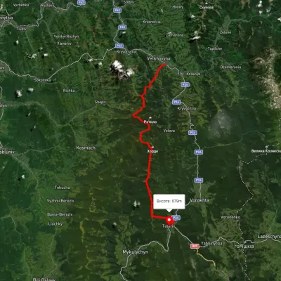 HardMulti-dayUnmarkedVerkhovyna to Tatariv villagevia Mount Bila Kobyla, Mount KhordeElevation profile611–1 461 m38.3 kmascent 1 485 m≈ 12.5 h walkingunder 1 km from Mount Munchelyk
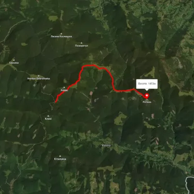 ModerateOne-dayMarkedTo Mount RotyloElevation profile1 210–1 453 m8.5 kmascent 646 m≈ 3.5 h walkingunder 1 km from Mount Munchelyk
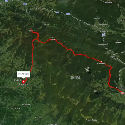 HardMulti-dayUnmarkedMykulychyn village to Kosmach villagevia Mount Khorde, Mount RotyloElevation profile592–1 448 m39.7 kmascent 1 591 m≈ 13 h walkingunder 1 km from Mount Munchelyk
Nearby attractions
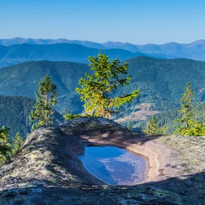 PeakMount Versalemaltitude 1 407 m · Pokuttia-Bukovyna Carpathians range1.9 km from Mount MunchelykVersalem is a 1,407 m (more precisely 1,406.7 m) mountain in the Pokuttia-Bukovina Carpathians. It lies in the Verkhovyna district of Ivano-Frankivsk Oblast, north...
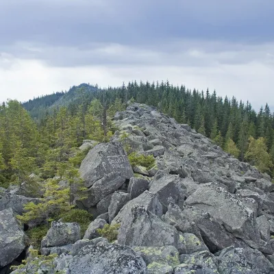 PeakMount Khordealtitude 1 479 m · Pokuttia-Bukovyna Carpathians range2.5 km from Mount Munchelyk6 trails to the topMount Khorde is a 1479-meter peak of the Ukrainian Carpathians, which is located within the Pokutsko-Bukovyna Carpathians.
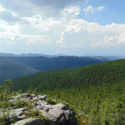 NatureKosmatska's bald head3.3 km from Mount MunchelykThe name of the mountain - Lysyna Kosmatska - is partially confirmed by its appearance, because the slope of the mountain is covered with stone placers, huge slab...