Mount Horde
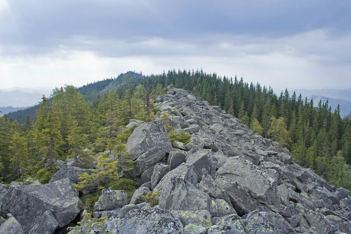
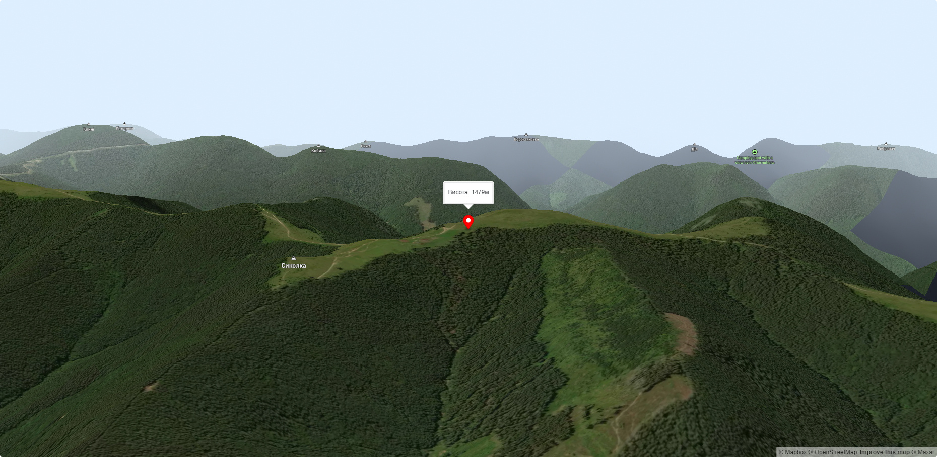
Mount Khorde is a 1479-meter peak of the Ukrainian Carpathians, which is located within the Pokutsko-Bukovyna Carpathians. It is located in Nadvirna district (partially in Verkhovyna district), southeast of the village of Tatariv and north of the village of Volova.
The top of Mount Khorde is unforested. The slopes are steep and covered with forests.
To the northeast of Mount Horde is Mount Lysyna Kosmatska, to the southeast is Mount Versalem, and beyond it is the highest peak of the Pokutsko-Bukovyna Carpathians - Mount Rotylo.
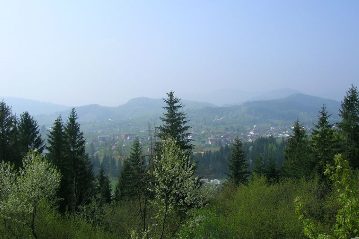
The nearest settlements are the village of Tatariv in Yaremche district and the village of Volova in Verkhovyna district of Ivano-Frankivsk region.
Accommodation around Mount Horde:


Nearby hiking trails near Mount Horde:
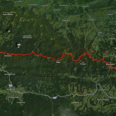
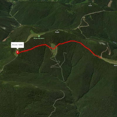
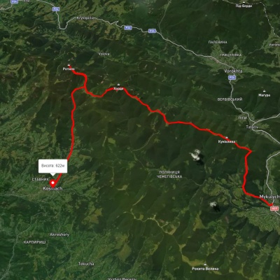
Which trails pass by Mount Horde?
We suggest these hiking trails through or near Mount Horde: Verkhovyna, via Mount Bila Kobyla, Mount Khorde and Mount Lisniv to Mykulychyn village, Mount Hordia traverse (green), Mykulychyn village, via Mount Khorde and Mount Rotylo to Kosmach village, Verkhovyna, via Mount Bila Kobyla and Mount Khorde to Tatariv village, Mykulychyn village, via Mount Khorde, Mount Pozhyzhevska, Mount Hoverla and Mount Kukul to Voronenko village, To Mount Rotylo