Tatariv
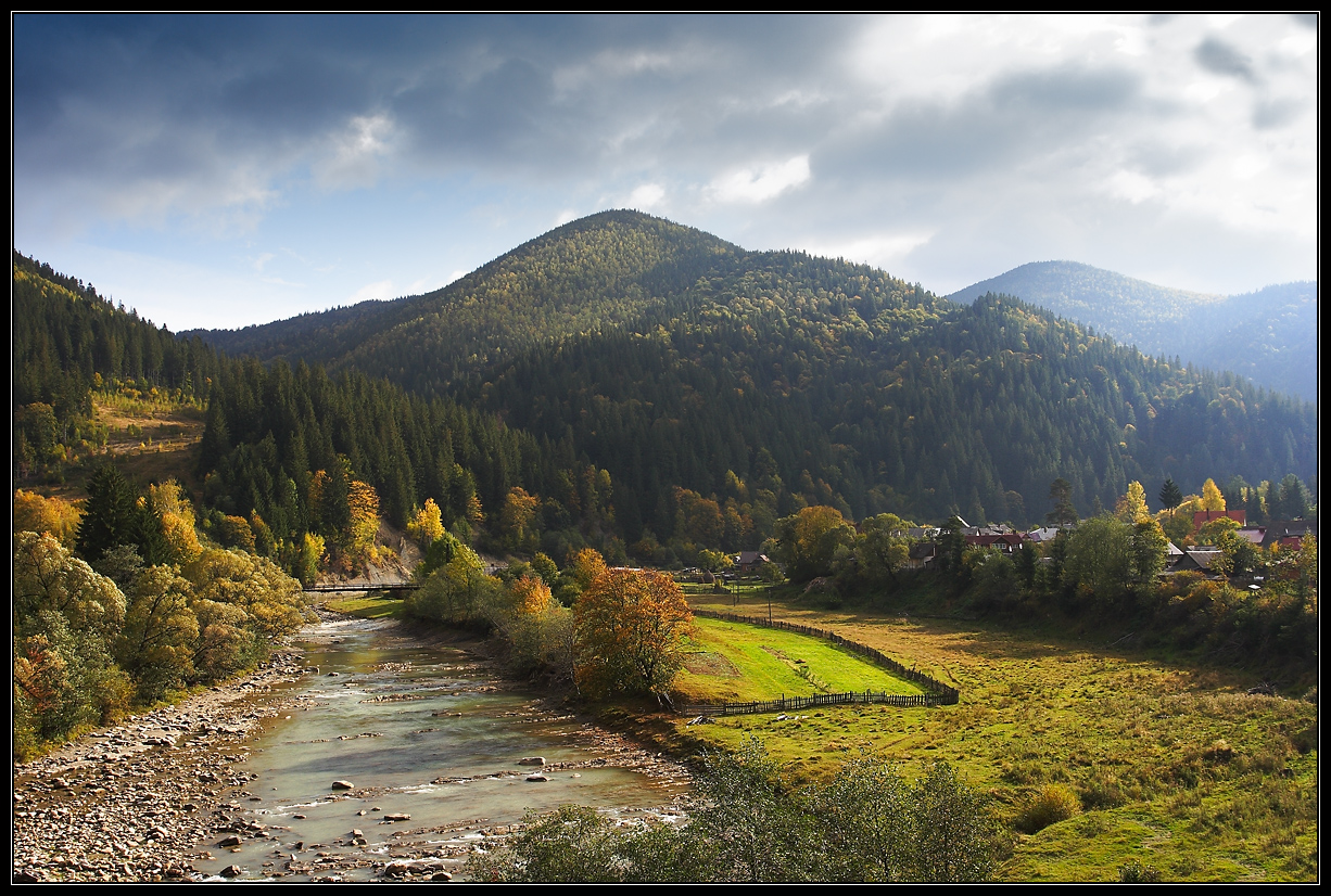
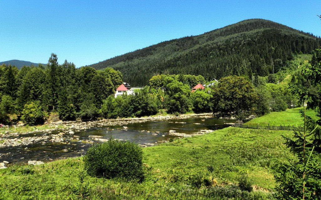
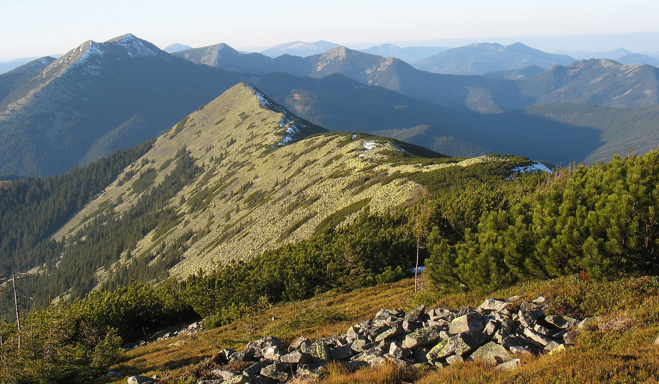
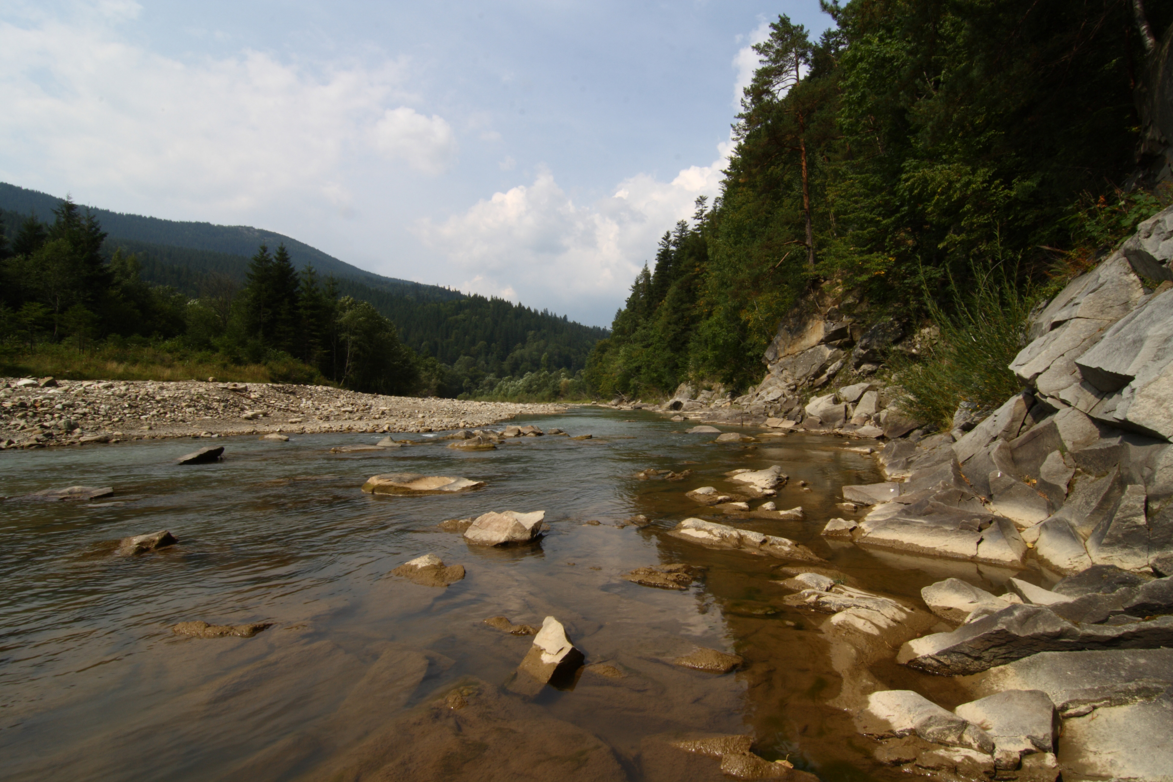
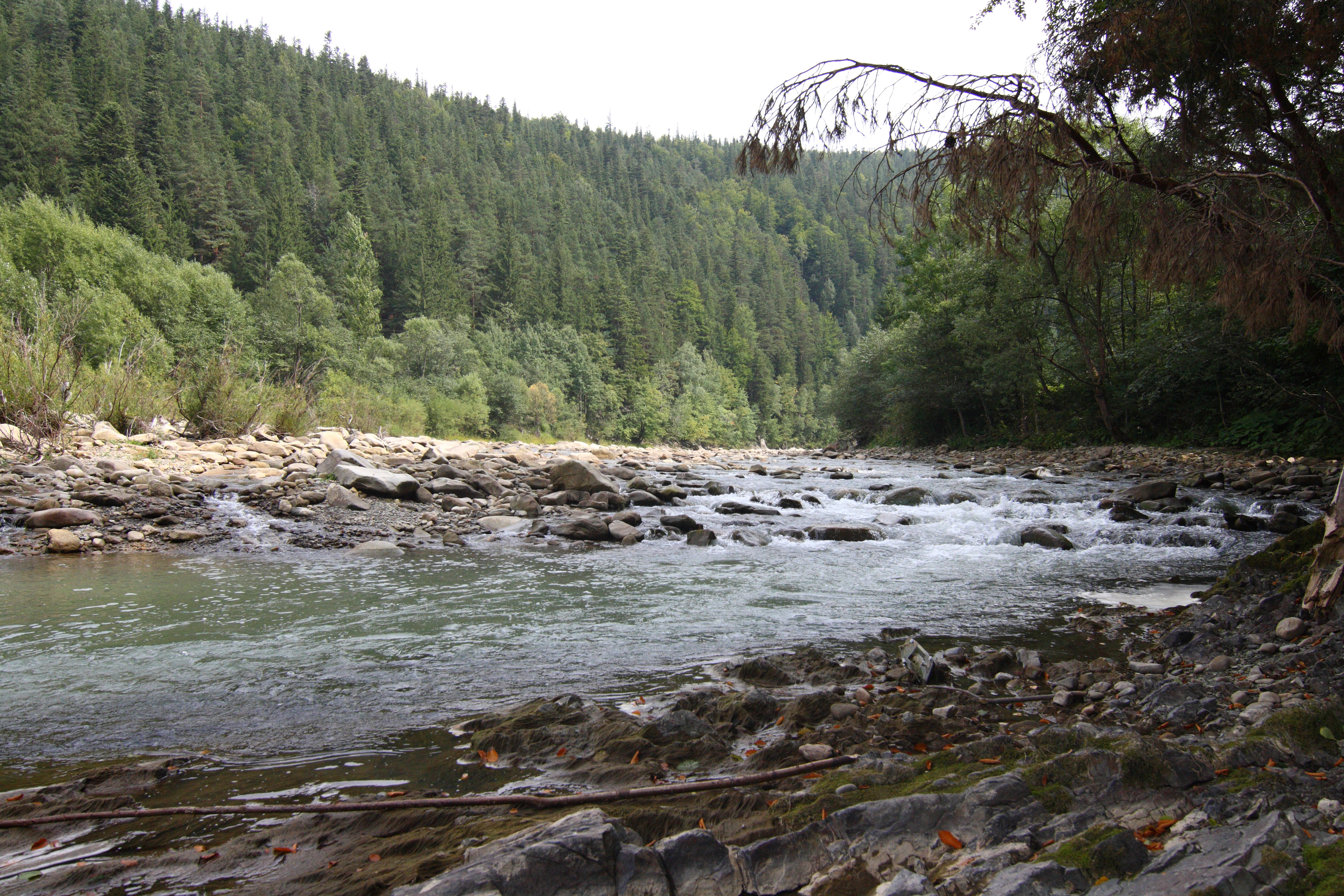
The mixture of mountain air, water and ecologically clean forests of the Carpathians makes Tatariv a well-known lowland balneological climate resort. The natural landscape of Tatariv serves as a convenient starting point for lovers of hiking and biking, in particular to the tops of the Carpathian massifs Gorgan and Chornohora (Mount Khomyak, Mount Sinyak, Mount Magura, Mount Greben, Mount Kobyla, Mount Gordia), meadows Lisniv, Kuniklyva, Pogar and others. The forests surrounding the village are extremely rich in mushrooms and berries.
It is most suitable for family vacations with children in summer, as well as for winter skiing, as Tatariv is very close to the resort of Bukovel, but the prices here are more affordable.
Tourists come to rest in Tatariv both in summer and winter. In winter, Tatariv and Bukovel have the largest number of skiers and snowboarders. There are also "non-sports" lovers of winter vacations in the Carpathians. And if a guest does not know how to ski, they will be taught. And if they don't, they can go sledding. Almost every estate or hotel in Tatariv organizes the delivery of skiers to the resort of Bukovel.
In the summer, Tatariv is visited by lovers of the "green" Carpathian nature, hiking, and local exoticism. It is from here that hiking trails to the Khomyak, Magura, Sinyak mountains and to the Zhenetsky waterfall begin.
Housing in Tatariv is available for rent in different ways, there is plenty to choose from. You can stay in the village of Tatariv in hotels, the private sector, cottages and estates. Living conditions and the level of service, as always, depend on the financial capabilities of the guest.
What to visit
Landmarks, museums and places of interest near Tatariv.
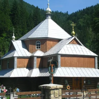 ChurchChurch of St. Demetrius of Thessaloniki, TatarivTatarivunder 1 km from the centreDemetrius of Thessalonica in the small village of Tatariv was built in 1870. The church was erected in honor of the righteous great martyr Dmytro Slutsky.
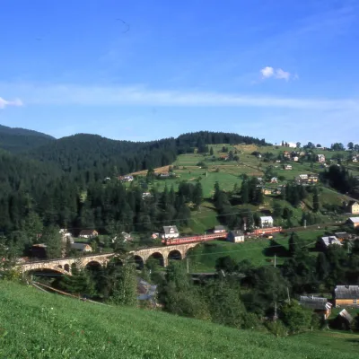 MuseumMuseum of History and Local Lore, VorokhtaVorokhta5.8 km from the centreThe museum was inaugurated on January 21, 2007. The museum reveals the processes of the settlement's emergence, the Oprishka movement in the Vorokhta neighborhood, and...
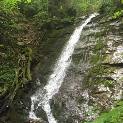 WaterfallNarinetskyi waterfall, MykulychynMykulychyn6.1 km from the centreNarinetskyi Waterfall is a waterfall in the Ukrainian Carpathians, on the Noretskyi Stream (a left tributary of the Zhenets River).
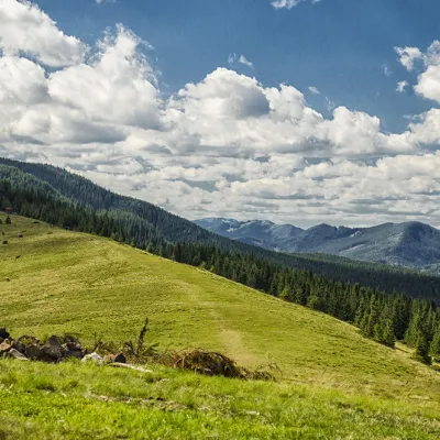 Mountain meadowPolonyna KhomyakovTatarivaltitude 1 525 m7.1 km from the centreYou can climb here from the Guk waterfall even in a short winter day, spend the night, and in the morning go to the tops of the Khomyak or Sinyak mountains (depending...
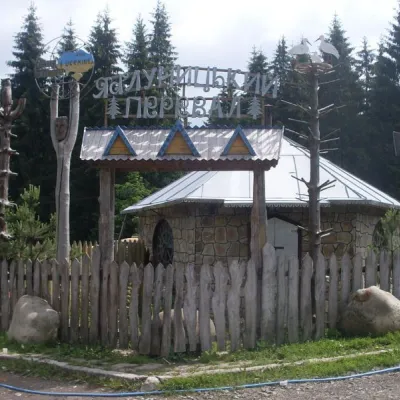 SightYablunytskyi pass, YablunytsiaYablunytsia7.6 km from the centreYablunytskyi Pass is a transportation artery that connects Ivano-Frankivsk and Zakarpattia regions. There are observation decks on the pass that offer a beautiful and...
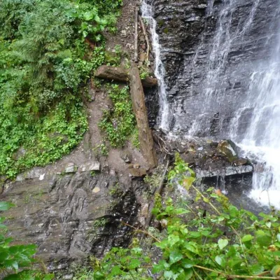 WaterfallZhenetsky Hook waterfallMykulychyn7.8 km from the centreZhenetskyi Huk is one of the most convenient Carpathian waterfalls for tourists, as it is accessible by a direct, asphalt road.
Where to stay
Hotels, guesthouses and cottages in and around Tatariv.
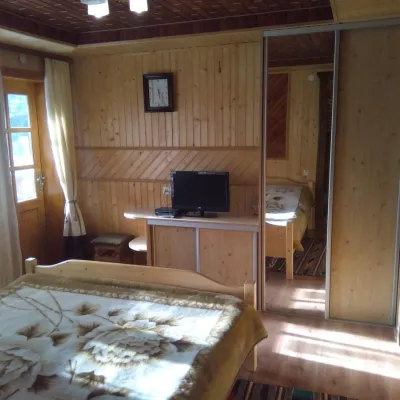 HomesteadFamily Guest House "Opryshky" TatarivTatarivunder 1 km from the centreSaunaBBQKitchenNearby: Mt Lisniv 2.9 kmPolonyna Khomyakov 7.2 km28 trails
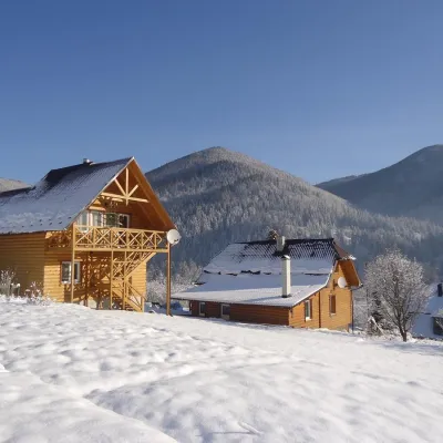 HomesteadHomestead "Chertizh" TataryvTatarivunder 1 km from the centrePoolBBQKitchenNearby: Mt Lisniv 2.8 kmPolonyna Khomyakov 7.1 km28 trails
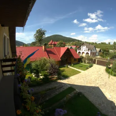 HomesteadHomestead "Prutets" TatarivTatarivunder 1 km from the centreSaunaSPABBQNearby: Mt Lisniv 3.0 kmPolonyna Khomyakov 7.1 km28 trails
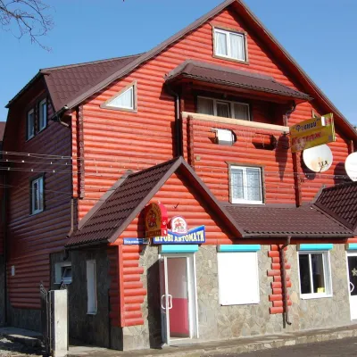 CottageCottage "Fainyi" in TatarivTatarivunder 1 km from the centreSaunaKitchenTransferNearby: Mt Lisniv 3.1 kmPolonyna Khomyakov 7.0 km37 trails
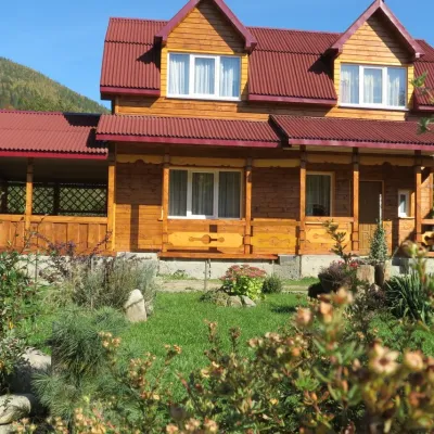 HomesteadGuest House "Bilyi Kamin" TatarivTatarivunder 1 km from the centreBBQKitchenParkingNearby: Mt Lisniv 2.7 kmPolonyna Khomyakov 7.3 km28 trails
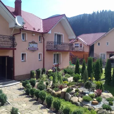 HotelHomestead "Zoryana" MykulychynTatarivunder 1 km from the centreSaunaBBQKitchenNearby: Mt Lisniv 2.5 kmPolonyna Khomyakov 7.4 km28 trails
Trails nearby
All trails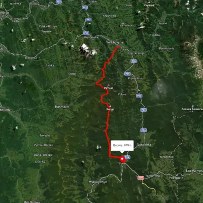 HardMulti-dayUnmarkedVerkhovyna to Tatariv villagevia Mount Bila Kobyla, Mount KhordeElevation profile611–1 461 m38.3 kmascent 1 485 m≈ 12.5 h walkingunder 1 km from the centre
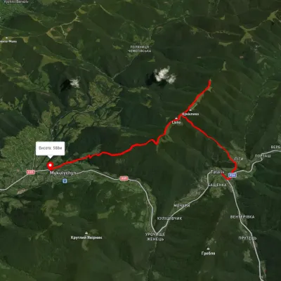 ModerateTwo-dayUnmarkedTatariv village to Mykulychyn villagevia Mount Lisniv, Mount YahidnaElevation profile585–1 241 m17 kmascent 870 m≈ 6 h walkingunder 1 km from the centre
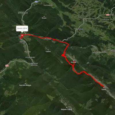 HardMulti-dayUnmarkedTatariv village loopvia Mount Khomiak, Mount SyniakElevation profile701–1 695 m37.2 kmascent 1 627 m≈ 12.5 h walkingunder 1 km from the centre
Peaks nearby
All peaks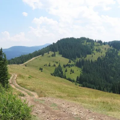 PeakMount LisnivTatarivaltitude 1 257 m · Pokuttia-Bukovyna Carpathians range2.9 km from the centre16 trails to the topMount Lisniv is a 1257-meter peak of the Ukrainian Carpathians, which is located on the territory of the Pokutsko-Bukovyna mountain range.
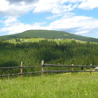 PeakMount Magura, TatarivTatarivaltitude 1 288 m · Gorgany range3.1 km from the centreMagura is a mountain in the Ukrainian Carpathians, in the Gorgany massif. It is located within the Yaremche City Council of Ivano-Frankivsk Oblast, between the...
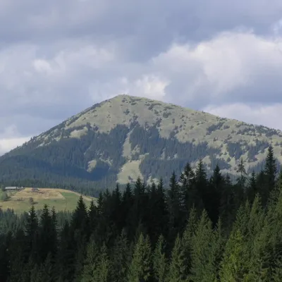 PeakMount KhomiakTatarivaltitude 1 542 m · Gorgany range6.5 km from the centre40 trails to the topKhomyak is a 1542-meter-high peak of the Gorgan mountain range. Rumor has it that the mountain was named so because its shape resembles the back of a hamster.