Mount Lisniv
1 257 m
Tatariv, Ivano-Frankivsk region, Ukraine


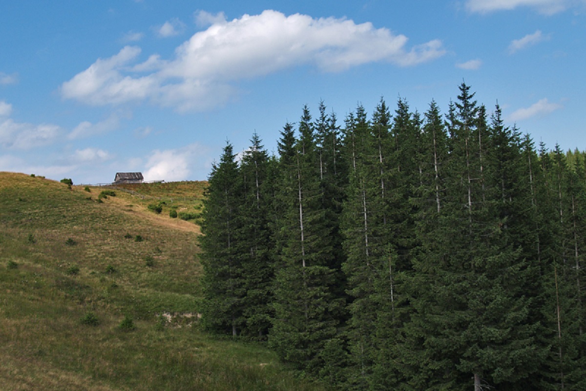
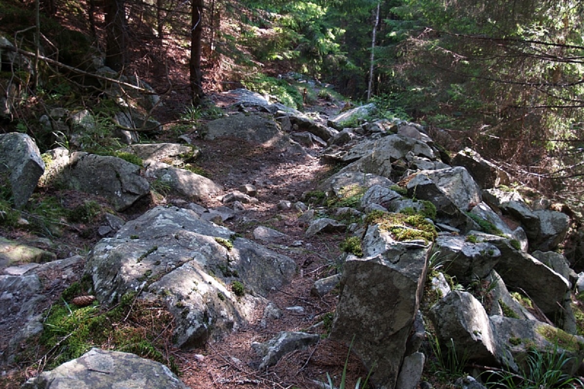
Mount Lisniv is a 1257-meter peak of the Ukrainian Carpathians, which is located on the territory of the Pokutsko-Bukovyna mountain range. It is located in the Nadvirna district of Ivano-Frankivsk region, to the east of the village of Tatariv.
The lower and middle parts of the slopes of Mount Lisniv are densely forested and dissected by numerous tributaries of the Prut River. The foothills of the peak are covered with meadows. There are many sources of fresh water on the slopes.
Mount Lisniv offers magnificent views of the surrounding mountains: from the top you can see the Gorgany mountain range to the west, and Chornohora with its 2000s to the south.
The nearest settlement is the village of Tatariv.
Location on the map
Water and shelter nearby
- Hut below Mount Lisniv190 m · Standing · 1 172 m
- Spring below Mount Lisniv (6)220 m · Not verified · 1 167 m
- Spring below Mount Lisniv (5)1 km · Not verified · 1 149 m
- Spring below Mount Lisniv (4)1.2 km · Not verified · 930 m
- Spring below Mount Lisniv1.2 km · Not verified · 1 116 m
- Spring below Mount Lisniv (2)1.2 km · Not verified · 1 116 m
- Spring below Mount Lisniv (7)1.3 km · Not verified · 1 226 m
- Spring below Mount Lisniv (3)1.5 km · Not verified · 1 090 m
- Spring below Mount Lisniv (8)1.8 km · Not verified · 1 166 m
- Hut below Mount Lisniv (3)1.8 km · Not verified · 1 188 m
- Hut below Mount Kuniklyva1.8 km · Not verified · 1 175 m
- Spring (Tatariv, 10)3 km · Not verified · 1 166 m
- Spring (Tatariv, 9)3 km · Not verified · 674 m
Comments
Places to stay nearby
All stays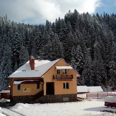 HotelU brativTatariv2.4 km from Mount LisnivSaunaBBQParkingNearby: Mt Lisniv 2.4 kmPolonyna Khomyakov 7.5 km28 trailsfrom 900 UAH per night
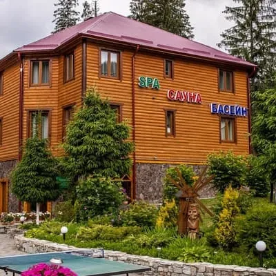 HotelOlha SPA korpusTatariv2.4 km from Mount LisnivPoolSaunaSPANearby: Mt Lisniv 2.4 kmPolonyna Khomyakov 7.5 km28 trailsfrom 2 500 UAH per night
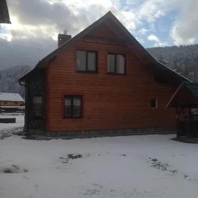 CottageTernopilska SadibaMykulychyn2.5 km from Mount LisnivPoolSaunaBBQNearby: Mt Lisniv 2.5 kmNarinetskyi waterfall 5.2 km40 trailsfrom 4 620 UAH per night
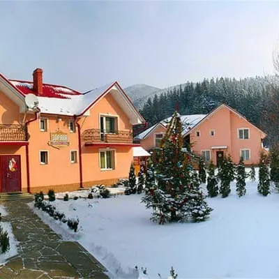 HotelZoryanaTatariv2.5 km from Mount LisnivSaunaBBQParkingNearby: Mt Lisniv 2.5 kmPolonyna Khomyakov 7.4 km28 trailsfrom 1 650 UAH per night
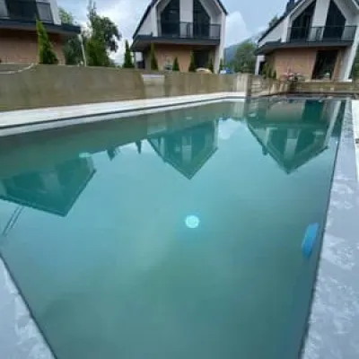 HotelTatariv-HillsTatariv2.5 km from Mount LisnivHot tubSaunaJacuzziNearby: Mt Lisniv 2.5 kmPolonyna Khomyakov 7.6 km28 trailsfrom 9 000 UAH per night
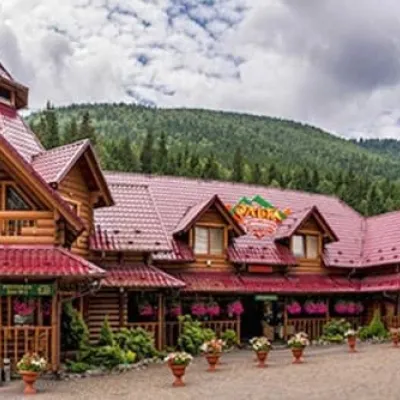 HotelOlha Tsentralnyi KorpusTatariv2.6 km from Mount LisnivPoolSaunaSPANearby: Mt Lisniv 2.6 kmPolonyna Khomyakov 7.2 km28 trailsfrom 800 UAH per night
Trails via Mount Lisniv
All 16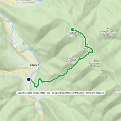 EasyOne-dayMarkedTatariv Mount YahidnaElevation profile679–1 232 m5.9 kmascent 47 m≈ 1.5 h walking
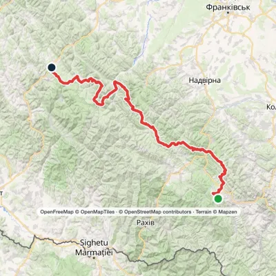 HardMulti-dayMarkedEast Carpathian Tourist TrailElevation profile643–1 836 m278.1 kmascent 8 455 m
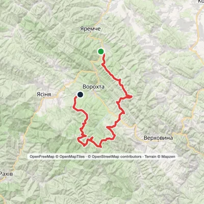 HardMulti-dayMykulychyn village to Voronenko villagevia Mount Khorde, Mount Pozhyzhevska +2Elevation profile587–2 061 m93 kmascent 4 527 m
Nearby attractions
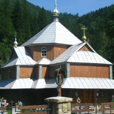 ChurchChurch of St. Demetrius of Thessaloniki, TatarivTatariv2.4 km from Mount LisnivDemetrius of Thessalonica in the small village of Tatariv was built in 1870. The church was erected in honor of the righteous great martyr Dmytro Slutsky.
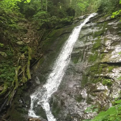 WaterfallNarinetskyi waterfall, MykulychynMykulychyn7.6 km from Mount LisnivNarinetskyi Waterfall is a waterfall in the Ukrainian Carpathians, on the Noretskyi Stream (a left tributary of the Zhenets River).
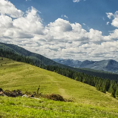 Mountain meadowPolonyna KhomyakovTatarivaltitude 1 525 m9.1 km from Mount LisnivYou can climb here from the Guk waterfall even in a short winter day, spend the night, and in the morning go to the tops of the Khomyak or Sinyak mountains (depending...
Craft nearby
All craft places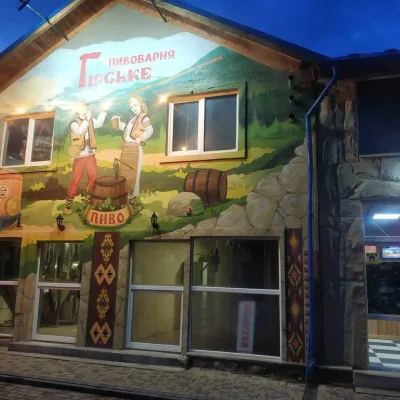 Craft beer & breweriesHirske Brewery, MykulychynMykulychyn3.6 km from Mount LisnivThe Hirske brewery is a small artisan brewery in Mykulychyn, on the edge of the village towards Tatariv.
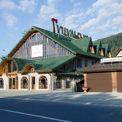 Craft beer & breweriesHutsulske Brewery, MykulychynMykulychyn5.4 km from Mount LisnivThe Hutsulske brewery in Mykulychyn is one of the oldest private breweries in the Carpathians, brewing beer for more than twenty years right on the road between...
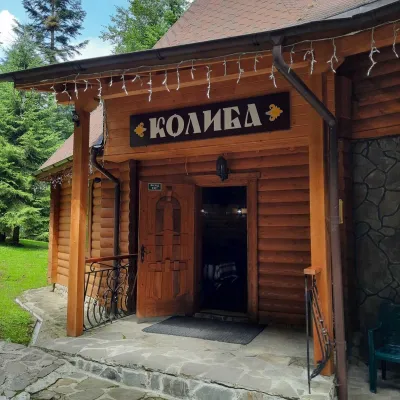 Koliby & Hutsul cuisineKolyba “Dykyi Med”, TatarivTatariv5.5 km from Mount LisnivThe Dykyi Med (“Wild Honey”) kolyba is the heart of a private estate of the same name in the Zhenets area of Tatariv, in a valley the locals call the Honey Valley.
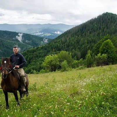 Horse ridingHorse Riding, MykulychynMykulychyn6 km from Mount LisnivHorse riding in Mykulychyn is a riding service in one of the most popular villages near Yaremche. The owners keep hardy mountain horses and take guests along forest...
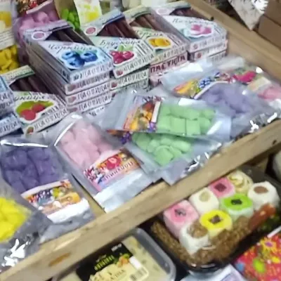 Markets & fairsSouvenir Bazaar by the Ski Jumps, VorokhtaVorokhta6.4 km from Mount LisnivThe souvenir bazaar in Vorokhta is one of the busiest little trading spots in the mountain Hutsul region.
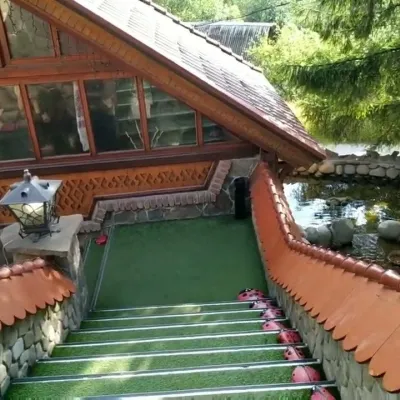 Koliby & Hutsul cuisineStara Vorokhta Restaurant, VorokhtaVorokhta7.8 km from Mount LisnivStara Vorokhta restaurant ("Old Vorokhta") is one of the best-known places for Hutsul food in Vorokhta: on Google Maps it is rated 4.6 from more than 6,300 reviews, a...
