River flow


What to see nearby
The best within 10 km, as the crow flies
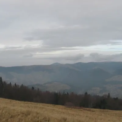 Polonyna BorsuchynaMountain meadow · 4.4 km
 Church of the Nativity of the Virgin Mary XVII-XVIIIChurch · 4.7 km
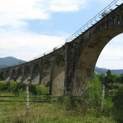 Austrian viaduct bridgeArchitecture · 5.8 km
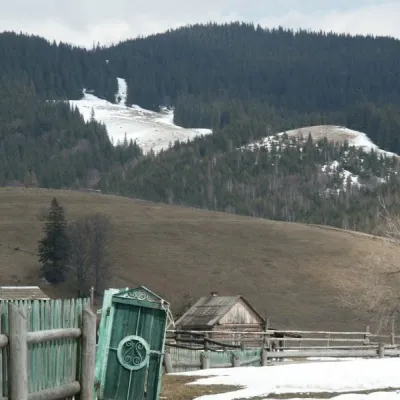 Kryvopillia PassNature · 6.1 km
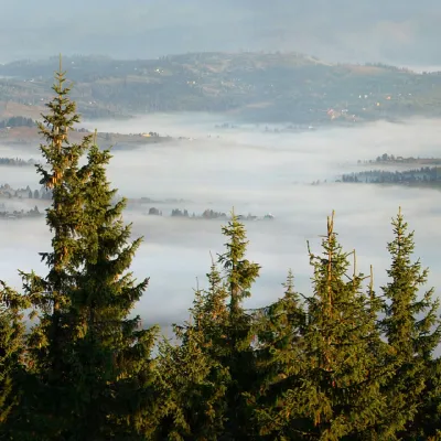 Mount KukulPeak · 6.6 km
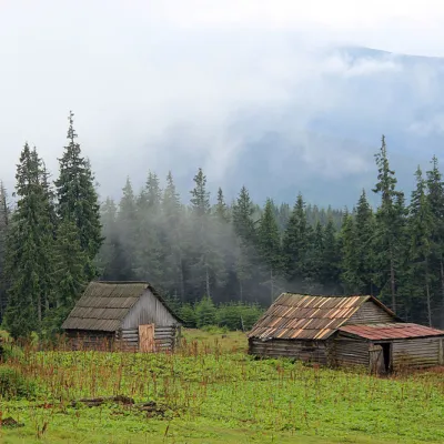 Polonyna KukulMountain meadow · 6.6 km
Trails starting within 5 km: 3
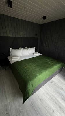
Chalet "River flow" is located in a picturesque part of the Carpathians, in the village of Vorokhta. Guests have access to 2 cottages accommodating 6 people. The houses feature 2 double beds and a sofa bed, air conditioning, a TV, and free Wi-Fi. The bathroom includes a shower, hairdryer. The kitchen is equipped with a refrigerator, electric kettle, stove, dishwasher, and kitchen utensils. Nearby, there is a forest and a river. The territory includes a swimming pool, a tub, a terrace, and parking for cars. Accommodation with pets is possible for an additional fee.
Distance from chalet "River flow" to the center of Vorokhta village is 4 km, to the railway station and bus station 4 km, to Bukovel 35 km.
Children up to 5 years old stay free without providing an extra bed. Extra beds are not provided.
Access by train or bus to Vorokhta station.
The cottage has a kitchen for self-catering, equipped with all necessary appliances.
Location on the map
Reviews
Nearby attractions
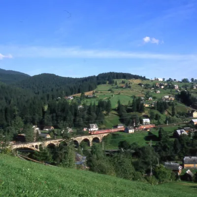 MuseumMuseum of History and Local Lore, VorokhtaVorokhta5.8 km from River flowThe museum was inaugurated on January 21, 2007. The museum reveals the processes of the settlement's emergence, the Oprishka movement in the Vorokhta neighborhood, and...
 Mountain meadowPolonyna LabieskaVorokhtaaltitude 1 410 m · Kukul range6.2 km from River flowPolonyna Labieska (also spelled Labeska) lies on the northern slopes of the Kukul ridge, between Mount Kukul (1539 m) and Mount Kychera above Vorokhta, in Nadvirna...
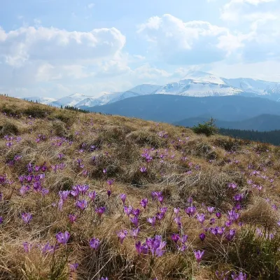 Mountain meadowPolonyna ZakukulVorokhtaaltitude 1 430 m6.6 km from River flowPolonyna Zakukul lies on the south-eastern slope of Mount Kukul (1539 m), the highest summit of the ridge of the same name that runs north of the main Chornohora ridge.
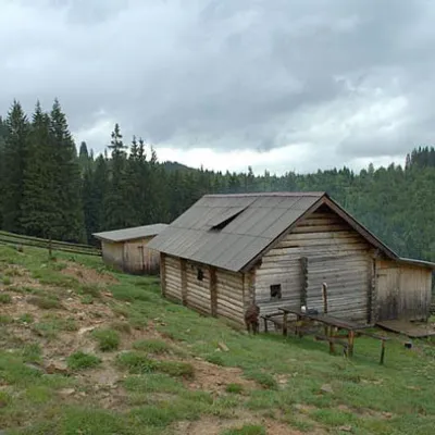 Mountain meadowPolonyna DilKryvopilliaaltitude 950 m6.6 km from River flowShepherds graze cows in the meadow. You can buy dairy products from the shepherds, as well as take part in a master class on its preparation from May to October.
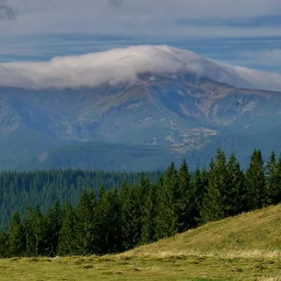 NatureKostrich RidgeKryvopillia8 km from River flowThe ridge is located in the Verkhovyna district and is a well-known tourist attraction in the Carpathians.
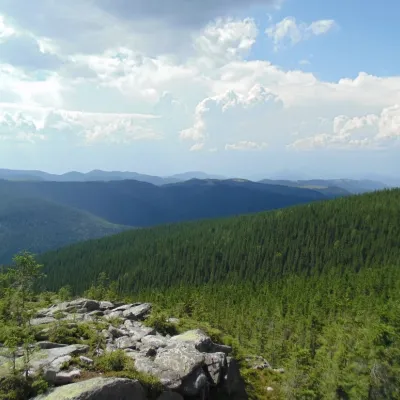 NatureKosmatska's bald headKosmach10 km from River flowThe name of the mountain - Lysyna Kosmatska - is partially confirmed by its appearance, because the slope of the mountain is covered with stone placers, huge slab...
Craft nearby
All craft places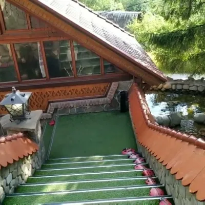 Koliby & Hutsul cuisineStara Vorokhta Restaurant, VorokhtaVorokhta5.7 km from River flowStara Vorokhta restaurant ("Old Vorokhta") is one of the best-known places for Hutsul food in Vorokhta: on Google Maps it is rated 4.6 from more than 6,300 reviews, a...
 Markets & fairsSouvenir Bazaar by the Ski Jumps, VorokhtaVorokhta6 km from River flowThe souvenir bazaar in Vorokhta is one of the busiest little trading spots in the mountain Hutsul region.
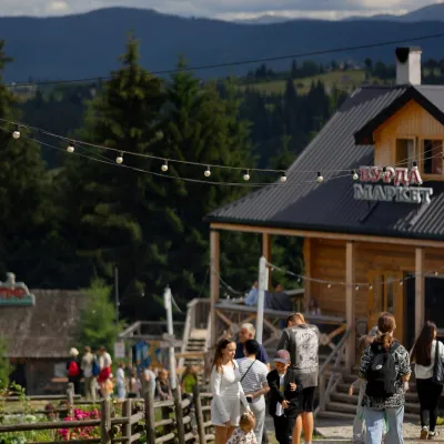 Mountain meadowPolonyna Pertsi Ethno Park, YablunytsiaYablunytsiaaltitude 940 m · Kukul range14 km from River flowPolonyna Pertsi (“Pepper Meadow”) is an ethno park of Hutsul traditions in Yablunytsia, close to the Yablunytsia Pass.
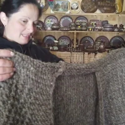 Markets & fairsSouvenir Market on the Yablunytsia Pass, YablunytsiaYablunytsia14 km from River flowThe souvenir market on the Yablunytsia Pass is one of the best-known roadside bazaars in the Carpathians.
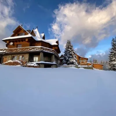 Koliby & Hutsul cuisineVysokyi Pereval Koliba, YablunytsiaYablunytsia14 km from River flowVysokyi Pereval Koliba ("High Pass") stands in Yablunytsia, on the new road to Bukovel, in the Horishkiv area.
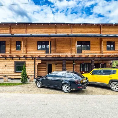 Koliby & Hutsul cuisineZRUB Ethno Restaurant, IltsiIltsi14 km from River flowZRUB Ethno Restaurant is a new log-built home of Hutsul cooking in the village of Iltsi, on the edge of Verkhovyna, the town often called the Hutsul capital.
Peaks nearby
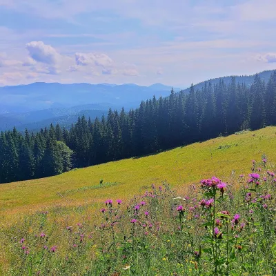 PeakMount Kychera (Vorokhta)Vorokhtaaltitude 1 225 m · Chornohora range4.9 km from River flowKychera is a 1,225 m summit north of the Chornohora range, in Ivano-Frankivsk Oblast. It lies between Vorokhta (about 4.5 km) and Mount Kukul (1,539 m), about 3.2 km...
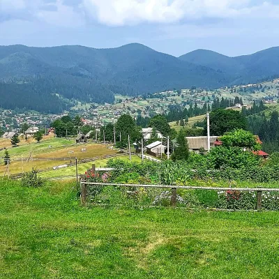 PeakMount OseredokVorokhtaaltitude 915 m · Chornohora range5.6 km from River flow1 trail to the topOseredok is a modest 915 m summit right above Vorokhta (about 2 km), north of the Chornohora range, in Ivano-Frankivsk Oblast.
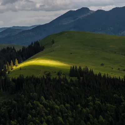 PeakMount Makovytsia (Kryvopillia)Kryvopilliaaltitude 1 161 m6.8 km from River flowMakovytsia is a 1,161 m summit above the village of Kryvopillia (about 2.3 km) in the Verkhovyna district of Ivano-Frankivsk Oblast.
Trails nearby
All trails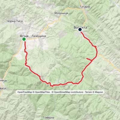 HardMulti-dayYasinia to Vorokhtavia Mount Petros, Mount HoverlaElevation profile657–2 061 m51.7 kmascent 2 117 munder 1 km from River flow
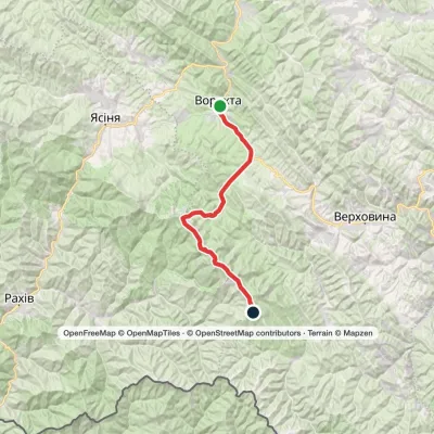 HardMulti-dayVorokhta to Mount Pip Ivan Chornohirskyivia Zaroslyak base, Mount Hoverla +2Elevation profile746–2 061 m42.2 kmascent 2 222 munder 1 km from River flow
 HardMulti-dayVorokhta to Lake Brebeneskulvia Mount Shpytsi, Mount RebraElevation profile748–2 001 m28.3 kmascent 1 280 m≈ 9.5 h walkingunder 1 km from River flow
