Polonyna Zakukul
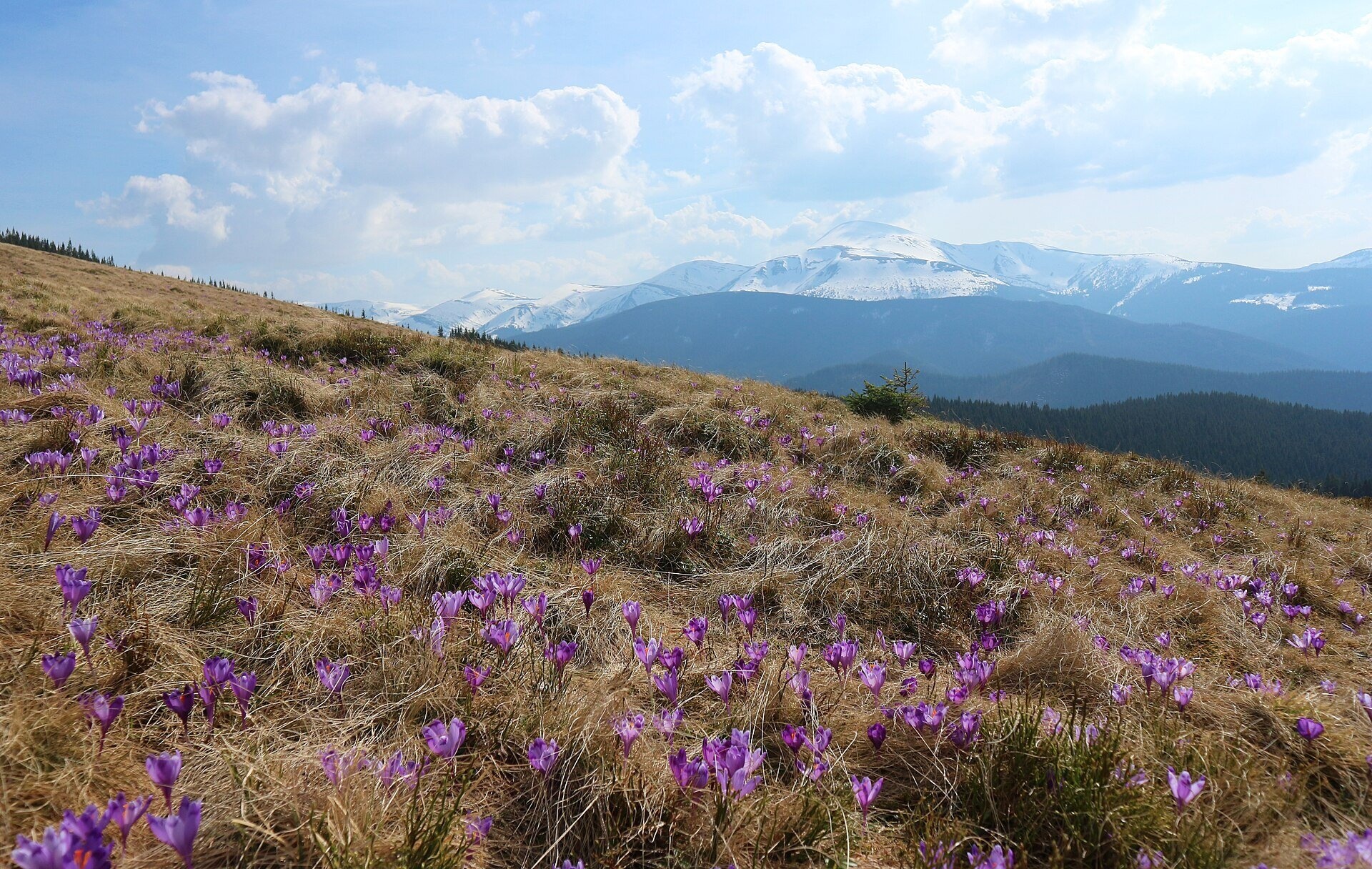
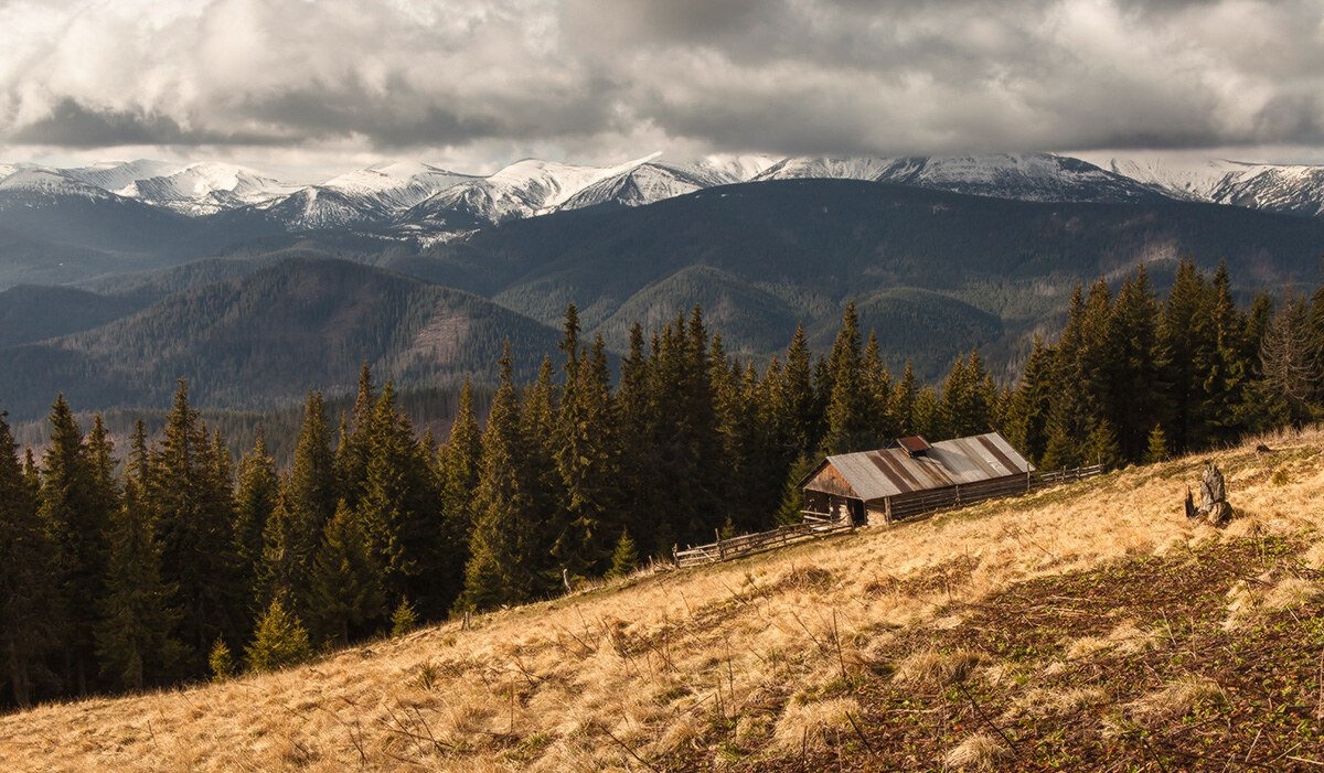
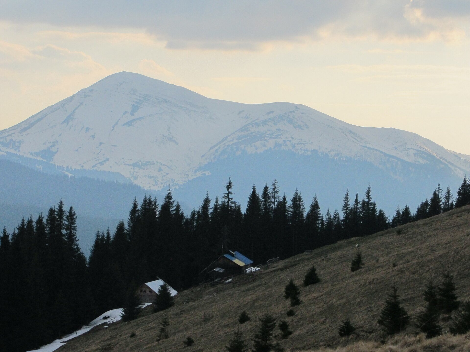
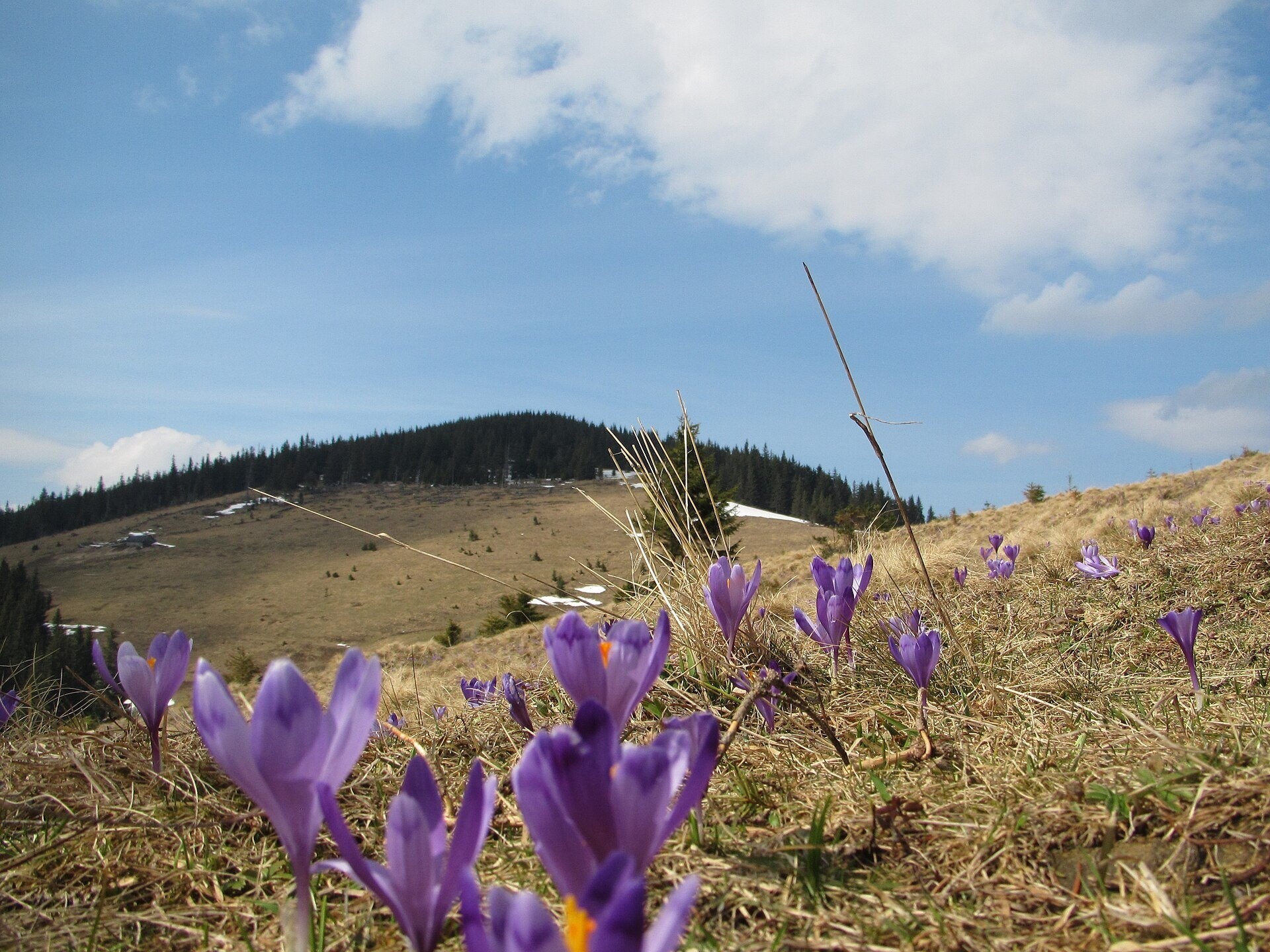
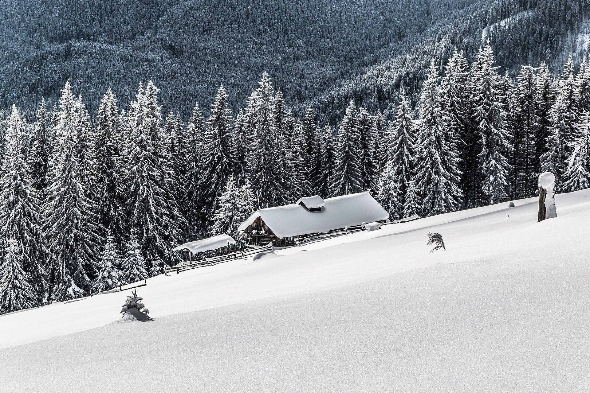
Polonyna Zakukul lies on the south-eastern slope of Mount Kukul (1539 m), the highest summit of the ridge of the same name that runs north of the main Chornohora ridge. It is in Nadvirna district of Ivano-Frankivsk oblast, near Vorokhta. Its open meadows spread at roughly 1370–1500 m; the eco-trail page of the Carpathian National Nature Park gives its height as 1436 m.
Kukul is surrounded on three sides by pastures: Zakukul, Kukul and Labieska. Zakukul is the one closest to Chornohora, so people come here above all for the panorama: the whole Chornohora ridge with Hoverla and Petros is in view. The polonyna is part of the Carpathian National Nature Park.
What you will see
A wide view of Chornohora opens up before you: Hoverla, Petros, the Kostrycha ridge and other peaks. Above the pasture rises the forested top of Kukul, from which the ridge spreads out. In spring, as soon as the snow melts, the meadow turns purple with Heuffel's crocus, a rare plant listed in the Red Book of Ukraine. Lower down, on the hay meadows, grow blueberries, mat-grass and other herbs; the forests on the slopes are beech, fir-beech and spruce.
In winter Zakukul is buried under deep snow, and sunrises and sunsets between Hoverla and Petros are especially beautiful — these are the shots photographers bring back most often.
Shepherds, huts and cheese
Zakukul is still a centre of traditional mountain pastoralism: in season cattle graze here and cheese is made according to old Hutsul customs. In the huts on the pasture, visitors are usually sold fresh milk and cheese. Whether a hut is working this particular year and what you can buy there is not known in advance — ask on the spot. Remember that the huts and pens belong to the shepherds: they are not tourist shelters, and during the grazing season they are occupied.
History and legends
Until 1939 the Polish–Czechoslovak border ran along the Kukul ridge, and before that the border between Galicia and Hungary; today it is the boundary between Ivano-Frankivsk and Zakarpattia oblasts. During the First World War there was fierce fighting for the ridge, notably in 1916 during the Brusilov Offensive. Trenches, dugouts and concrete fortifications survive around Kukul, and on the summit there is an old cemetery of German soldiers.
The name Kukul is derived from the Romanian word cucă, "an isolated elevation"; Zakukul, as the name itself suggests, lies "beyond Kukul". In the 1930s the Main Carpathian Trail crossed the summit: Polish hikers walked from Vorokhta over Kukul and Kozmeska to Zaroslyak and Hoverla.
Routes
- Zavoiela ("Chornohora" checkpoint) — Polonyna Zakukul — an eco-trail of the Carpathian National Nature Park: about 4.2 km one way, roughly 2.5 hours, moderate difficulty. First 800 m on a dirt road, then right along a stream through mixed forest and a steep climb of about 400 m. This is the shortest way to the pasture. From the checkpoint to the summit of Kukul it is about 7 km with 580 m of ascent (Hoverla checkpoint (Zavoiela) — Mount Kukul).
- Vorokhta — Kukul via Kychera and Oseredok — about 12 km and 800 m of ascent, blue waymarks; a forest path, very muddy in places (Vorokhta — Pereslip — Mount Kukul).
- Voronenko — Kukul — about 13 km and 720 m of ascent, yellow waymarks, across the Polonyna Bukovyna, Hryhorivka and Serednia pastures; the gentlest climb (Voronenko — Mount Kukul, loop Voronenko — Kukul — Voronenko).
- Multi-day traverse from Vorokhta over Kukul, Breskul and Pip Ivan Chornohirskyi to Dzembronia — route description.
There is no easy way up without walking. The shortest option for people who do not do long hikes is the eco-trail from Zavoiela, but it too has a noticeably steep climb.
Getting there
Trains on the Ivano-Frankivsk — Rakhiv line run to Vorokhta, and the N09 highway passes through the town. The Zavoiela area with the "Chornohora" checkpoint lies on the road from Vorokhta to Zaroslyak, where ascents of Hoverla begin. From the checkpoint there is transport to the Bukovel — Vorokhta — Verkhovyna road. For the route from Voronenko, take the train to Voronenko station.
When to go and weather
The hiking season lasts from May to October. Crocuses usually bloom from the second half of April into May — the most popular and most crowded time. In summer cattle graze on the pasture, and blueberries ripen in late summer. In winter the route to Zakukul is only for experienced hikers with winter gear. On the open slope the weather changes quickly: fog and thunderstorms can roll in within minutes.
Water, shelters and overnight
There are several springs nearby — for example, a spring below Mount Kukul and another one lower down the slope; on the pasture itself stands a hut. Pitching a tent on Zakukul is possible, but this is national park land: light fires only in designated places. The nearest accommodation is in Vorokhta and Voronenko.
Safety
- Shepherd dogs stay near the pens: walk around the flock, do not run, and call the shepherd.
- The open slope is dangerous in a thunderstorm — at the first thunder head down to the forest.
- In fog it is easy to lose the path, so carry an offline map or GPS.
- Picking plants is prohibited in the park: picking crocuses can lead to an administrative fine.
- Before the hike, register your route with the State Emergency Service mountain rescuers; in an emergency call 112 or 103.
What visitors say
- Zakukul is called one of the best places to camp with a view of Chornohora — people come up with tents for the sunrise over Hoverla.
- During crocus season, especially at weekends, the pasture and Kukul get very crowded.
- The path from Vorokhta goes through forest with hardly any views and turns into a bog after rain — good footwear is a must.
- The summit of Kukul is forested and offers no panorama; the best views are from the pastures, not from the top.
- On holidays the huts can be overcrowded, so it is worth carrying a tent.
- In season you can buy fresh milk and cheese at the hut — but not every year.
Polonynas and peaks around
- Polonyna Kukul — a large pasture with huts on the western slope of the same mountain.
- Polonyna Labieska — Kukul's northern pasture with views of Vorokhta and the Gorgany.
- Polonyna Bukovyna — the first pasture on the path from Voronenko, known for its swing.
- Polonyna Borsuchyna — a neighbouring pasture on the slopes above Vorokhta.
- Mount Velyka Kozmeska — a neighbouring summit on the way to Zaroslyak.
- Mount Kychera — a forested hill above Vorokhta on the route to Kukul.
- Mount Hoverla and Mount Petros — the highest peaks seen from Zakukul.
Photos: ЯдвигаВереск, CC BY-SA 4.0, Wikimedia Commons; Moahim, CC BY-SA 3.0, Wikimedia Commons; Gudyma s, CC BY-SA 4.0, Wikimedia Commons; Gudyma s, CC BY-SA 3.0, Wikimedia Commons; Robert-Erik, CC BY-SA 4.0, Wikimedia Commons; Олександр Лупул, CC BY 3.0, Wikimedia Commons; Матвіїв Любомир, CC BY-SA 4.0, Wikimedia Commons.
Video 2
 Полонина Закукул і гора Кукул, 30/04/18Oleksandr Gudyma

Location on the map
Water and shelter nearby
- Spring below Mount Kukul (9)180 m · Not verified · 1 417 m
- Hut on Polonyna Zakukul210 m · Not verified · 1 420 m
- Spring below Mount Kukul (10)430 m · Not verified · 1 354 m
- Spring below Mount Kukul (11)580 m · Not verified · 1 362 m
- Spring on Polonyna Kukul (3)1 km · Not verified · 1 357 m
- Shepherds' hut on Polonyna Kukul1.2 km · Standing · 1 365 m
- Spring on Polonyna Kukul1.6 km · Not verified · 1 306 m
- Spring on Polonyna Kukul (2)1.7 km · Not verified · 1 348 m
- Hut on Polonyna Kukul1.9 km · Not verified · 1 355 m
- Shepherds' hut on Polonyna Ozirna1.9 km · Standing · 1 355 m
- Spring below Mount Kukul (7)2 km · Not verified · 1 363 m
- Spring below Mount Kukul (4)2.1 km · Not verified · 1 139 m
- Spring below Mount Kukul (3)2.2 km · Not verified · 1 142 m
- Spring below Mount Kukul (8)2.3 km · Not verified · 1 248 m
- Spring below Mount Kukul (2)2.3 km · Not verified · 1 149 m
- Spring below Mount Kukul2.3 km · Not verified · 1 158 m
Comments
Places to stay nearby
All stays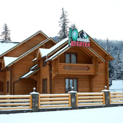 HotelHotel "Desyatka" Vorokhta (near Hoverlyansky Checkpoint)Vorokhta3.1 km from Polonyna ZakukulPoolSaunaBreakfastNearby: Mt Kukul 3.6 kmPolonyna Kukul 4.0 km5 trails
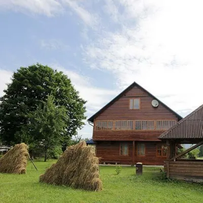 HomesteadHomestead "PID YAVOROM" Vorokhta (Tenth Kilometer)Vorokhta3.2 km from Polonyna ZakukulSaunaBBQKitchenNearby: Mt Kukul 3.7 kmPolonyna Kukul 4.1 km5 trails
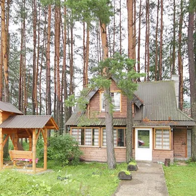 HomesteadHomestead "Sosnovyi Dvir" Vorokhta (Tenth Kilometer)Vorokhta3.2 km from Polonyna ZakukulSaunaBBQKitchenNearby: Mt Kukul 3.7 kmPolonyna Kukul 4.1 km5 trails
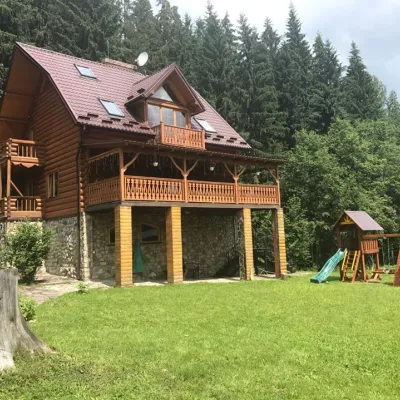 CottageCottage "Try Hory" Vorokhta (Tenth Kilometer)Vorokhta3.2 km from Polonyna ZakukulSaunaBBQKitchenNearby: Mt Kukul 3.7 kmPolonyna Kukul 4.1 km5 trails
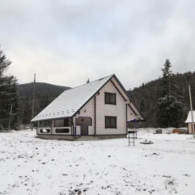 HomesteadHomestead "SWEET HOME" Vorokhta (Tenth Kilometer)Vorokhta3.2 km from Polonyna ZakukulSaunaBBQKitchenNearby: Mt Kukul 3.7 kmPolonyna Kukul 4.1 km5 trails
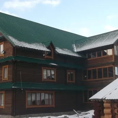 HotelHotel "Yuraya" Vorokhta (near the checkpoint to Hoverla)Vorokhta3.4 km from Polonyna ZakukulHot tubPoolSaunaNearby: Mt Kukul 3.8 kmPolonyna Kukul 4.2 km6 trails
Trails nearby
All trails HardMulti-dayUnmarkedVorokhta to Dzembronia villagevia Mount Kukul, Mount Breskul +2Elevation profile741–2 010 m59.1 kmascent 3 364 munder 1 km from Polonyna Zakukul
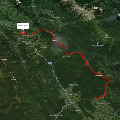 HardMulti-dayUnmarkedVoronenko village to Staishche villagevia Mount KukulElevation profile694–1 572 m31.1 kmascent 1 883 m≈ 11.5 h walkingunder 1 km from Polonyna Zakukul
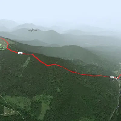 EasyOne-dayMarkedHoverla checkpoint (Zavoiela) Mount KukulElevation profile899–1 526 m4.8 kmascent 730 m≈ 2.5 h walkingunder 1 km from Polonyna Zakukul
Nearby attractions
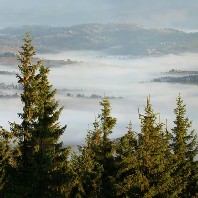 PeakMount KukulVorokhtaaltitude 1 539 munder 1 km from Polonyna Zakukul20 trails to the topKukul (another name - Kukul) is a 1539-meter peak in the Ukrainian Carpathians, which is located in the northern direction of the Chornohora mountain range.
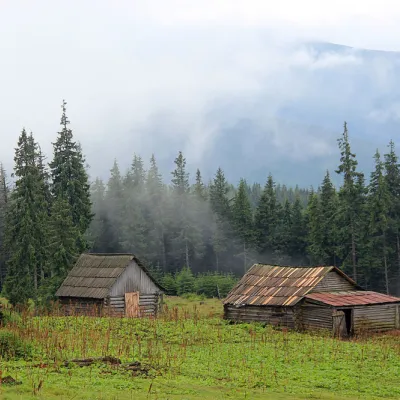 Mountain meadowPolonyna Kukul (Kukul), VoronenkoVoronenkoaltitude 1 440 m1.2 km from Polonyna ZakukulPolonyna Kukul is a mountain meadow in the Ukrainian Carpathians, within the Kukul ridge (Kukul mountain - 1539 m), administratively located within the Zakarpattia...
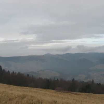 Mountain meadowPolonyna BorsuchynaVorokhtaaltitude 1 136 m2.8 km from Polonyna ZakukulPolonyna Borsuchyna is located in Vorokhta, Ivano-Frankivsk region, at an altitude of 1136 meters in the Carpathians.
Craft nearby
All craft places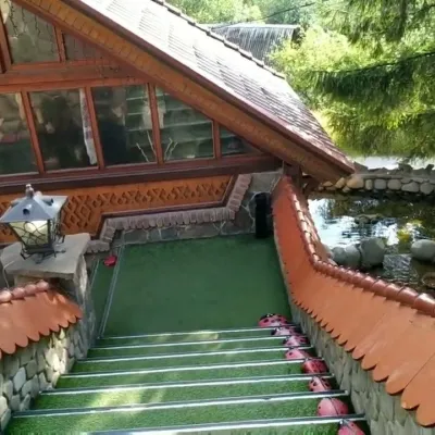 Koliby & Hutsul cuisineStara Vorokhta Restaurant, VorokhtaVorokhta8.7 km from Polonyna ZakukulStara Vorokhta restaurant ("Old Vorokhta") is one of the best-known places for Hutsul food in Vorokhta: on Google Maps it is rated 4.6 from more than 6,300 reviews, a...
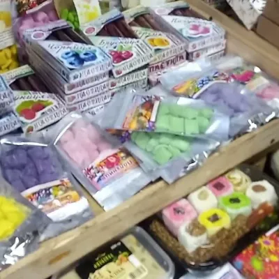 Markets & fairsSouvenir Bazaar by the Ski Jumps, VorokhtaVorokhta9.9 km from Polonyna ZakukulThe souvenir bazaar in Vorokhta is one of the busiest little trading spots in the mountain Hutsul region.
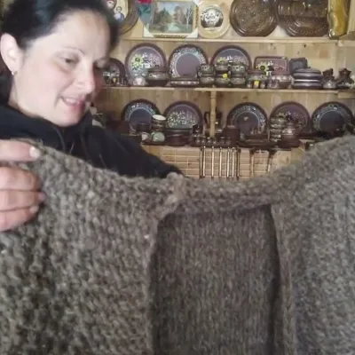 Markets & fairsSouvenir Market on the Yablunytsia Pass, YablunytsiaYablunytsia13 km from Polonyna ZakukulThe souvenir market on the Yablunytsia Pass is one of the best-known roadside bazaars in the Carpathians.
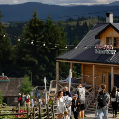 Mountain meadowPolonyna Pertsi Ethno Park, YablunytsiaYablunytsiaaltitude 940 m · Kukul range13 km from Polonyna ZakukulPolonyna Pertsi (“Pepper Meadow”) is an ethno park of Hutsul traditions in Yablunytsia, close to the Yablunytsia Pass.
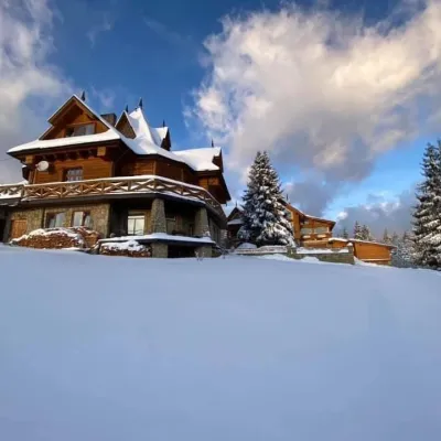 Koliby & Hutsul cuisineVysokyi Pereval Koliba, YablunytsiaYablunytsia14 km from Polonyna ZakukulVysokyi Pereval Koliba ("High Pass") stands in Yablunytsia, on the new road to Bukovel, in the Horishkiv area.
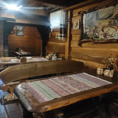 Koliby & Hutsul cuisineU Rizbaria Café, YasiniaYasinya16 km from Polonyna ZakukulU Rizbaria Café (“At the Woodcarver’s”) in Yasinia is a small Hutsul place serving home cooking that travellers usually find by word of mouth.
