Hoverla checkpoint (Zavoiela) – Mount Kukul
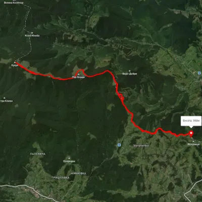
Trail map
Where to stay nearby
About the trail
Route Hoverla checkpoint (Zavoiela) – Mount Kukul. Has blue marking (most notable or interesting routes). Along the route you will see: Mount Kukul.
Not many tourists know that from the Check Point leading to Hoverla, you can also start another route - to Mount Kukul. From the Check Point, you need to move along the road towards Hoverla. After 200 meters, a sign will indicate right to the beginning of the trail. The marking is blue. This turn is unclear, easily missed, so orient yourself using a map or navigator. The main thing is to enter the forest, where the trail becomes clear and it will be difficult to stray from it. Thus begins a long ascent to the very top of Kukul. There will be virtually no water on the ascent, so stock up before heading out on the route. The nearest spring will appear on the Zakukul meadow. There, the first views on the route open up - the mighty Chornohirskyi Ridge and the beautiful Hoverla.
The Zakukul meadow is large, where shepherds roam in the summer. In the summer of 2022, the hut looked very patriotic. The route runs along the right side of the meadow. Before the forest, another ascent begins all the way to the very top. Here, tourists often stop for an overnight stay. After all, there are not many viewpoints in the Carpathians.
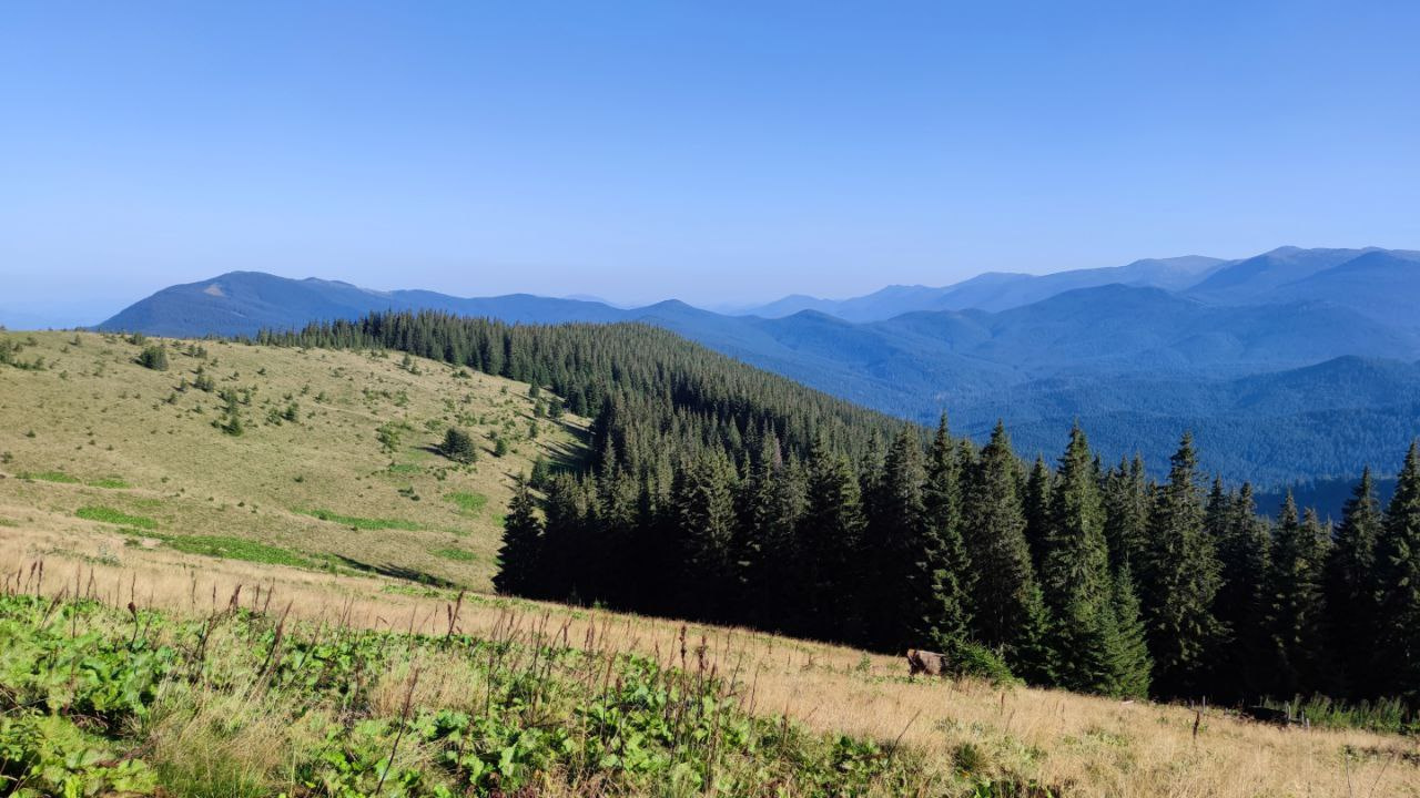
In spring, everything here is covered with crocuses - entire saffron carpets. It looks fantastic, so if you don't have such photos yet - be sure to visit these places. In summer, all the meadows near Mount Kukul are berry season, full of blueberries and goji berries. There are many mushrooms in the surrounding forests. You can also reach the summit from Vorokhta and Voronenko from the other side of the ridge. Therefore, tourists are not lacking here at any time of the year. But there are also plenty of places for overnight stays.
From the Zakukul meadow to the very summit is not far, just a few hundred meters through the forest. Mount Kukul is forested, at the summit there is a sign with an indicator, name, height, and a metal part of rusty weaponry - a remnant of World War I. Trenches with a century-old history stretch across the Kukul ridge. Be especially careful, do not light fires near the trenches! There have been tragic cases when old shells exploded from campfires!
You can return back the same way, or descend to Vorokhta or Voronenko via other routes.
At a glance
A short route of 4.8 km with 730 m of ascent from Hoverla checkpoint (Zavoiela) to Mount Kukul. Estimated walking time: about 2.5 h, not counting stops. Difficulty: easy. Waymarking: blue.
Route stages
- 0–1 kmGentle ups and downs at 900–940 m
- 1–5 kmClimb of 580 m to Mount Kukul (1,539 m)
Steepest kilometre: km 1–2, a climb of 270 m (≈27%).
Water and overnight stays
A spring near the trail: at km 3.5.
Huts and shelters near the trail: Hut on Polonyna Zakukul (km 4.5). Places to stay near the start: Vorokhta.
When to go
Best time: May to October. In winter deep snow is possible, so experience and winter gear are needed.
Getting there
Start: Hoverla checkpoint (Zavoiela). Most places to stay near the start are in Vorokhta. This is a one-way route: the finish is 4 km from the start in a straight line, so plan your way back in advance.
FAQ
- How long does the route take?
- Estimated walking time: about 2.5 h, not counting stops.
- Is there water on the route?
- A spring near the trail: at km 3.5.
- Where can I stay overnight?
- Huts and shelters near the trail: Hut on Polonyna Zakukul (km 4.5). Places to stay near the start: Vorokhta.
Water and shelter on the route
- Spring below Mount Kukul (11)km 3.5 from the start · 250 m off the path · Not verified · 1 362 m
- Spring below Mount Kukul (10)km 4.1 from the start · 270 m off the path · Not verified · 1 354 m
- Hut on Polonyna Zakukulkm 4.3 from the start · 240 m off the path · Not verified · 1 420 m
Comments
What to see on the trail
Trails nearby
All trails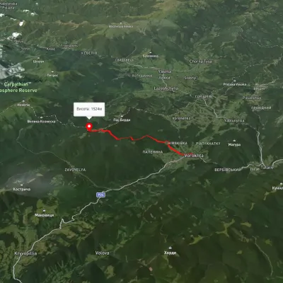 ModerateOne-dayMarkedVorokhta Mount Kukulvia Perehslyp tractElevation profile738–1 518 m11.7 kmascent 1 108 m≈ 5 h walking
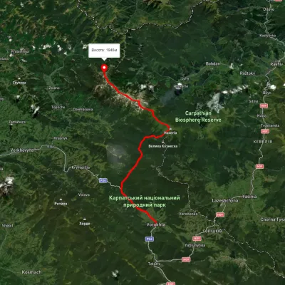 HardMulti-dayUnmarkedVorokhta to Mount Pip Ivan Chornohirskyivia Zaroslyak base, Mount Hoverla +2Elevation profile746–2 043 m42.2 kmascent 2 377 m
 HardMulti-dayUnmarkedVoronenko village loopvia Mount KukulElevation profile920–1 574 m29.5 kmascent 1 248 m≈ 10 h walking