Polonyna Bukovyna (Kukul Ridge)
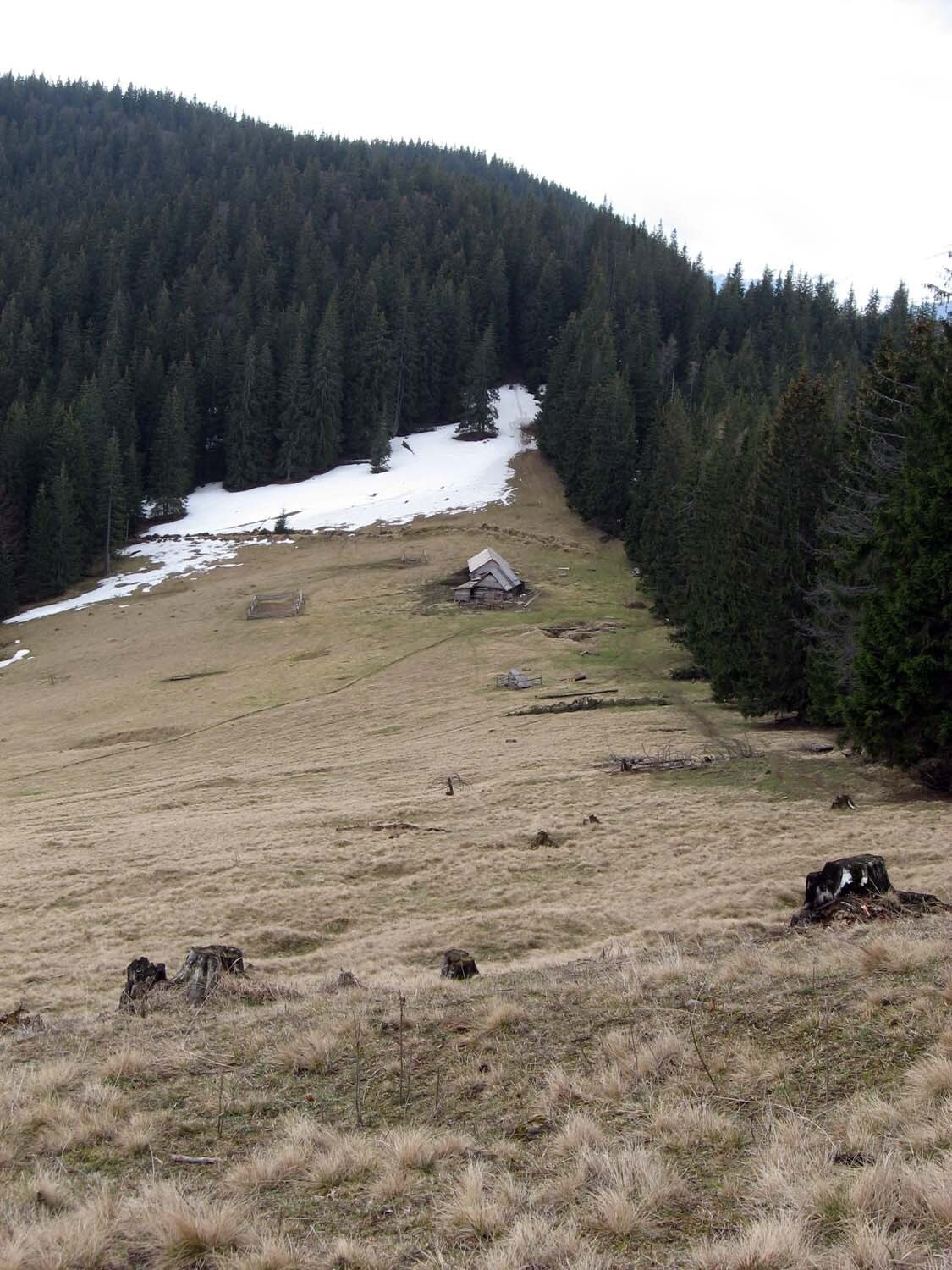
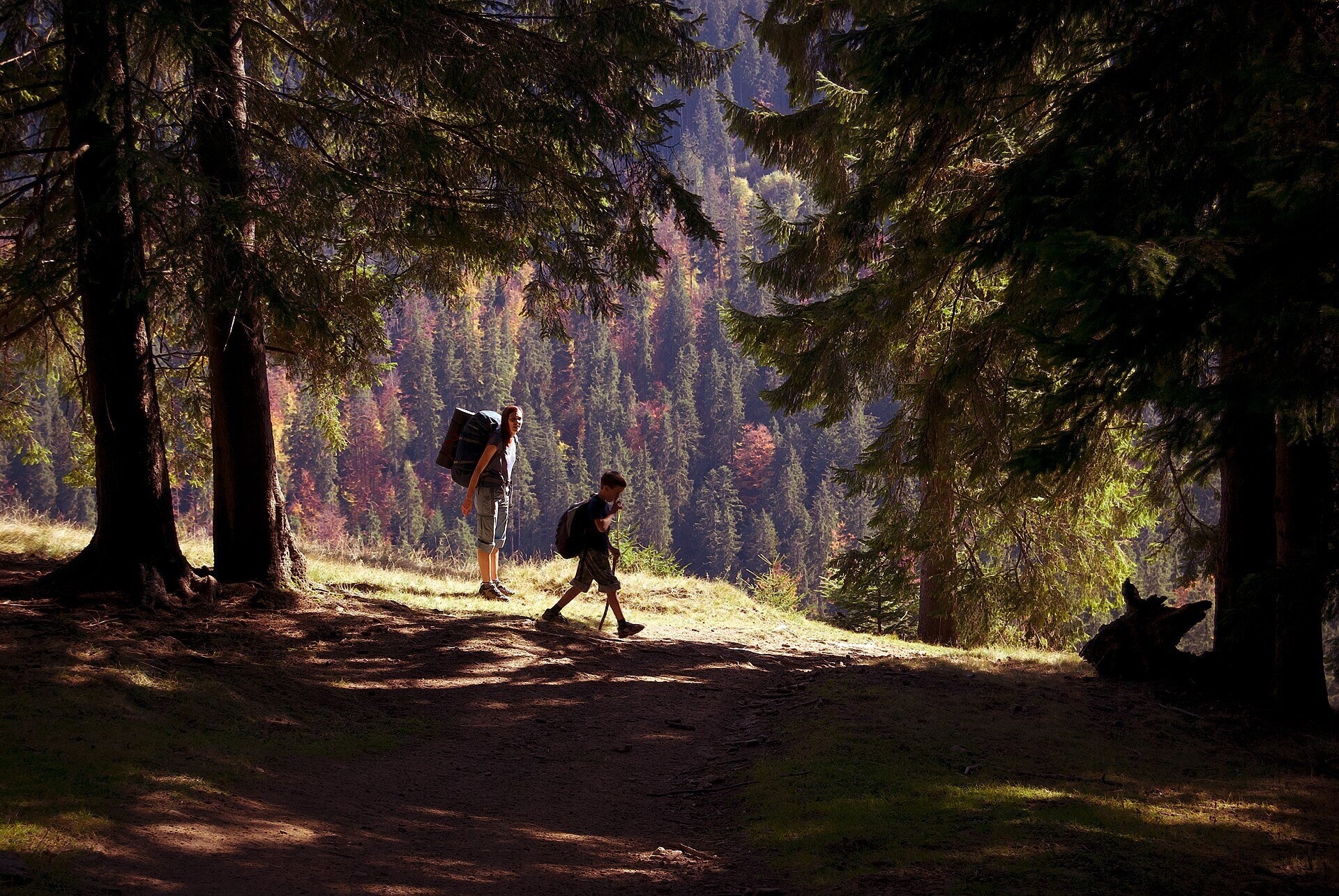
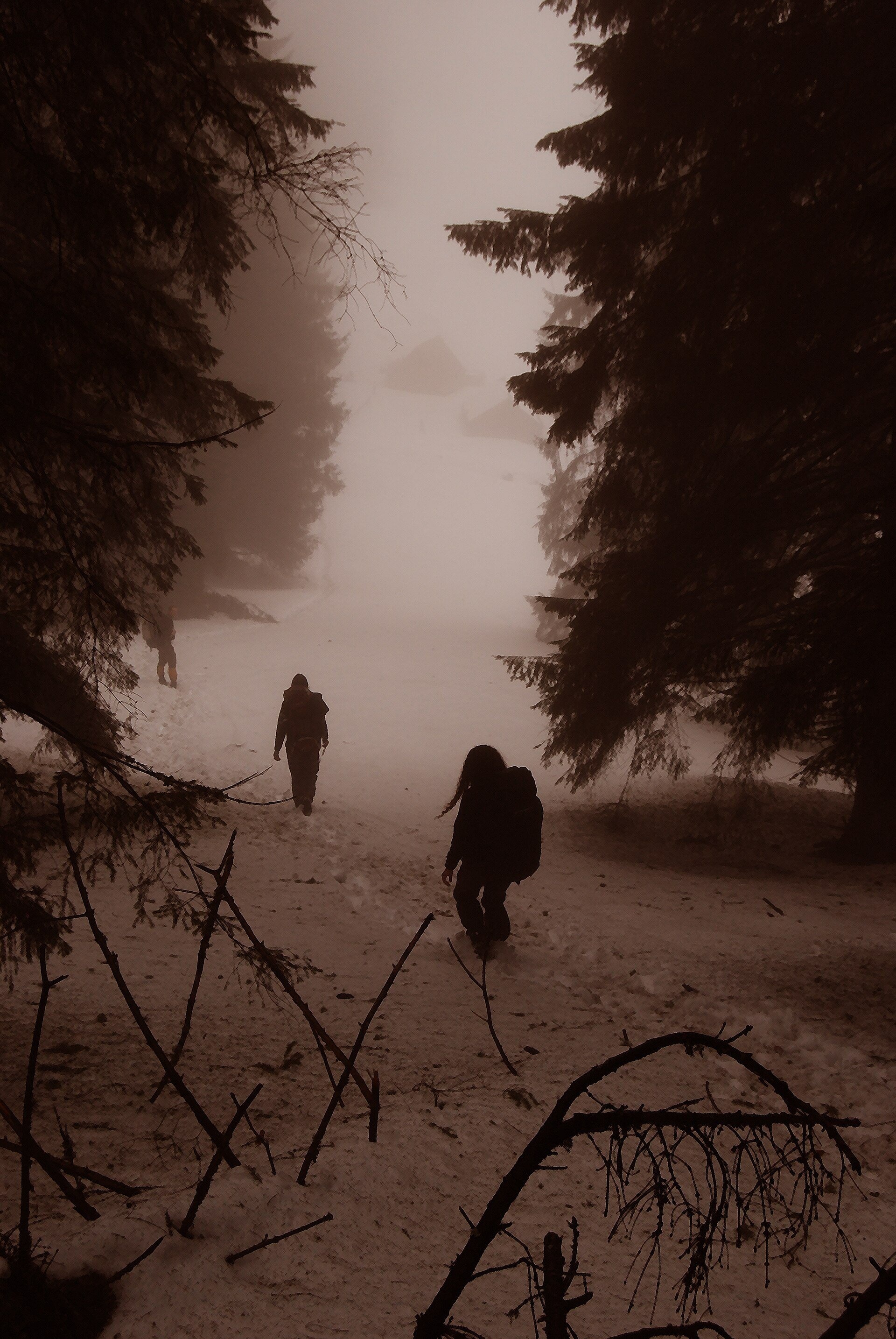
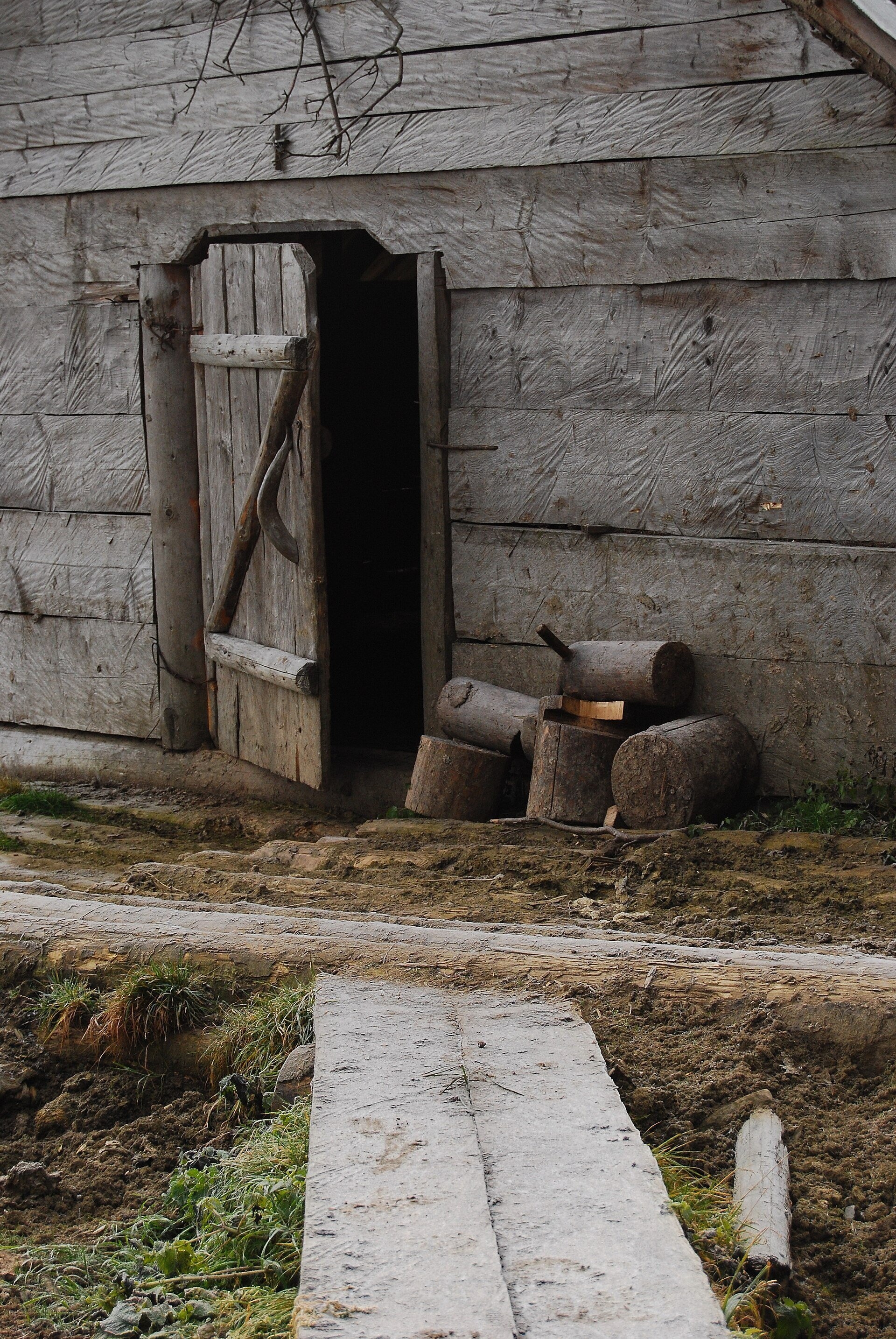
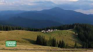
Polonyna Bukovyna, often called Bukovynka, lies on the north-western section of the Kukul ridge, south of Vorokhta and close to the village of Voronenko in Nadvirna district of Ivano-Frankivsk oblast. The pasture spreads at roughly 1130–1210 m (the meadow itself at about 1150 m), below Mount Bukovyna, which is about 1216 m high.
Bukovyna is the first large pasture on the path from Voronenko to Kukul, considered the easiest and most popular ascent of that mountain. So most people who have hiked Kukul know it: they rest here, refill water, and some camp overnight. What hikers remember most, though, is the swing hung from tall trees — nearly everyone takes a photo on it.
What you will see
Bukovyna is a small meadow in spruce forest with shepherds' huts and a pen. From the pasture you can see Petros, and from the neighbouring Prypir clearing, which you pass on the way, there is a panorama of the Gorgany: Syniak, Khomiak, Dovbushanka, Malyi Gorgan, Polenskyi. Higher up, from Mount Yavorovatyi Hrun (1271 m), you can see Hoverla. In spring, in mid-April, the first crocuses appear on Bukovyna, and mushrooms can be found lower down along the path.
Shepherds, huts and cheese
On the pasture there is a hut with a pen and farm buildings, and a shepherds' farm works next to it. The huts belong to the herders: in summer shepherds live in them, and then you cannot sleep inside. There is no reliable information about cheese being sold on Bukovyna itself — if the shepherds are there, you can politely ask whether they sell brynza or budz. Do not count on it in advance.
History and legends
Until 1939 the Polish–Czechoslovak border ran along the Kukul ridge, and at the start of the 20th century the border between Galicia and Hungary. Old border posts still stand along the ridge, and before the war Voronenko was a border village. During the First World War, notably in 1916, there was fighting for the ridge: trenches survive on Prypir and near Kukul, and remains of barbed wire on the pass. In the 1930s a hiking trail ran from Kukul to Voronenko via Hryhorivka along the then border — today's path largely follows it.
Nearby, below the pass, the 1257 m long Voronenko railway tunnel was opened in 1894; trains to Rakhiv still run through it.
Routes
- Voronenko — Prypir — Bukovyna — Hryhorivka — Serednia — Kukul: about 12–13 km one way and about 720 m of ascent, yellow waymarks. From Voronenko station to the railway tunnel it is another 2 km or so, then uphill on a dirt road past farmsteads. On Prypir there is a table and benches under a roof (Voronenko — Mount Kukul, loop Voronenko — Kukul — Voronenko).
- Voronenko — Polonyna Ozirna: an option with an overnight stay below Kukul (route description).
- Ridge traverse Voronenko — Kukul — Vorokhta: about 23 km, convenient over two days (Voronenko — Kukul — Vorokhta). A variant descending to Kryvopillia is here.
For those not planning to climb Kukul, Bukovyna is a natural goal for a short walk: from Voronenko station (about 830 m) you only need to climb about 300–350 m to the pasture, and it is the open pasture on the ridge closest to the village.
Getting there
The Ivano-Frankivsk — Rakhiv railway runs through Voronenko, so the easiest way is by train to Voronenko station. By car, come from the Vorokhta side; hikers usually leave the car near the station or before the tunnel. Navigation apps often suggest wrong roads in this area — check against a map. The lower part of the path is churned up by logging trucks and quad bikes; after rain it is clayey and slippery.
When to go and weather
The best time is from May to October; in April the first crocuses already bloom here, but patches of snow may remain. In summer the ridge pastures are used by cattle, and in autumn the forest colours are beautiful. In winter the route to Kukul is only for experienced hikers. After rain the road from Voronenko is very muddy.
Water, shelters and overnight
On Bukovyna there is a drinking-water spring, a table with benches and level spots for tents. Our map also shows a spring nearby and several huts — a hut, another hut; higher up the ridge is the hut on Polonyna Hryhorivka. In summer the huts are occupied by shepherds, so bring a tent. Accommodation is available in Voronenko, Vorokhta and Yablunytsia.
Safety
- Shepherd dogs may be near the pen: walk around the animals, do not run, and call the owner.
- The swing is home-made — check its condition and do not swing out over the slope.
- Hikers have reported wolves on the climb from Voronenko: stay with your group and do not leave food by the tent.
- Fog and thunderstorms build up quickly on the ridge; carry a raincoat and a GPS.
- Register your route with the State Emergency Service rescuers; in an emergency call 112 or 103.
What visitors say
- The route through Bukovyna is called the easiest way up Kukul and a good choice for a first overnight hike.
- The swing between tall trees is a favourite photo spot — it is what people remember the pasture for.
- The hut on Bukovyna is well built, but in summer the shepherds are in charge of it.
- After rain the lower section from Voronenko is all clay and ruts from off-road vehicles.
- In autumn honey mushrooms grow at the start of the route, and from Prypir the Gorgany are visible in clear weather.
- During crocus season the ridge is crowded, especially at weekends.
Polonynas and peaks around
- Polonyna Kukul — the main pasture below the summit, the goal of the route.
- Polonyna Zakukul — the pasture with the finest panorama of Chornohora.
- Polonyna Labieska — Kukul's northern pasture above Vorokhta.
- Polonyna Borsuchyna — a neighbouring pasture on the slopes above Vorokhta.
- Yablunytsia Pass — the pass west of the ridge.
- Polonyna Pertsi — an ethno-park near Yablunytsia.
- Mount Petros — the peak visible from Bukovyna.
Photos: Олександр Лупул, CC BY 3.0, Wikimedia Commons; Valentin Lupul, CC BY 3.0, Wikimedia Commons.
Video 2
 Вороненко, полонина Буковинка, полонина Озірна, гора Кукул, полонина Закукул | Canon EOS M RAWPavlo Vovk
Location on the map
Water and shelter nearby
- Spring (Voronenko, 9)70 m · Not verified · 1 146 m
- Hut (Voronenko, 4)170 m · Not verified · 1 152 m
- Hut (Voronenko)190 m · Not verified · 1 152 m
- Hut (Voronenko, 3)210 m · Not verified · 1 150 m
- Spring (Voronenko, 10)800 m · Not verified · 1 063 m
- Hut on Polonyna Lomparivka1.4 km · Not verified · 946 m
- Spring (Voronenko)1.8 km · Not verified · 1 017 m
- Spring (Voronenko, 12)1.8 km · Not verified · 1 311 m
- Spring (Voronenko, 11)1.9 km · Not verified · 1 318 m
- Spring (Voronenko, 13)1.9 km · Not verified · 1 330 m
- Hut on Polonyna Hryhorivka1.9 km · Standing · 1 314 m
- Spring (Voronenko, 15)2.2 km · Not verified · 1 362 m
- Spring (Voronenko, 14)2.2 km · Not verified · 1 341 m
- Hut on Polonyna Hryhorivka (2)2.4 km · Standing · 1 305 m
Comments
Places to stay nearby
All stays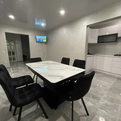 CottageCottage AzaliyaVyshkovo5.3 km from Polonyna Bukovyna (Kukul Ridge)The Cottage Azaliya is located in the Zakarpattia region, Lazeshchyna, 14 km from Mount Hoverla and 9 km from Mount Petros.Nearby: Church of the Transfiguration 2.8 kmMt Petrosul 9.7 km31 trails
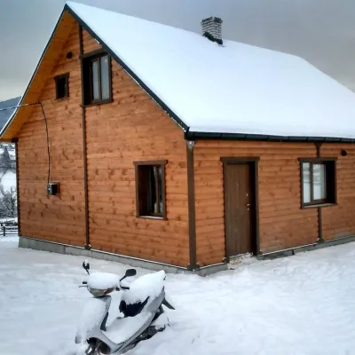 CottageCottage "Ozernyi" LazeshchynaLazeshchyna4.8 km from Polonyna Bukovyna (Kukul Ridge)SaunaBBQKitchenNearby: Church of the Transfiguration 3.3 kmMt Petrosul 8.4 km32 trails
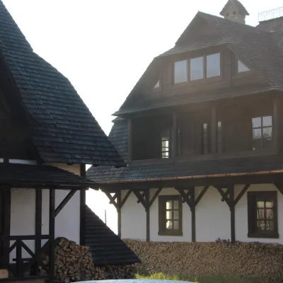 HomesteadHomestead "Blyzhche Neba" MykulychynYablunytsia5.2 km from Polonyna Bukovyna (Kukul Ridge)SaunaBreakfastBBQNearby: Church of St. Basil the Great 3.3 kmMt Khomiak 8.6 km23 trails
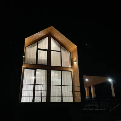 CottageArtMiLazeshchyna6.1 km from Polonyna Bukovyna (Kukul Ridge)FireplaceKitchenParkingNearby: Church of the Transfiguration 2.8 kmStrukivska Church 5.7 km32 trails
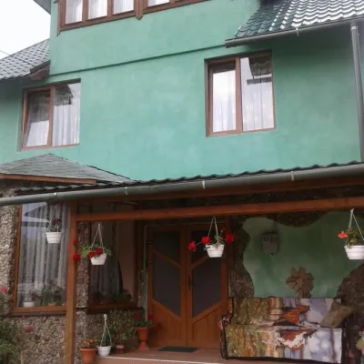 CottageCottage "U Arsenii" YasinyaYasinya5.9 km from Polonyna Bukovyna (Kukul Ridge)BBQKitchenTransferNearby: Church of the Transfiguration 2.6 kmStrukivska Church 5.5 km32 trails
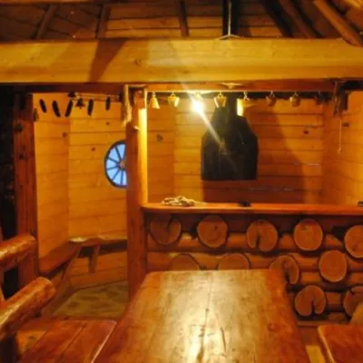 HomesteadHomestead "Topirets" VorokhtaVorokhta6.1 km from Polonyna Bukovyna (Kukul Ridge)SaunaBBQKitchenNearby: Austrian viaduct bridge 400 mMt Magura 3.9 km15 trails
Trails nearby
All trails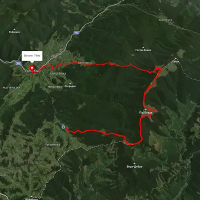 HardMulti-dayUnmarkedVoronenko village to Vorokhtavia Mount KukulElevation profile743–1 458 m30.3 kmascent 1 329 m≈ 10 h walkingunder 1 km from Polonyna Bukovyna (Kukul Ridge)
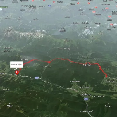 HardMulti-dayUnmarkedVoronenko village to Kryvopillia villagevia Mount KukulElevation profile-26–1 541 m26.9 kmascent 3 173 m≈ 13 h walkingunder 1 km from Polonyna Bukovyna (Kukul Ridge)
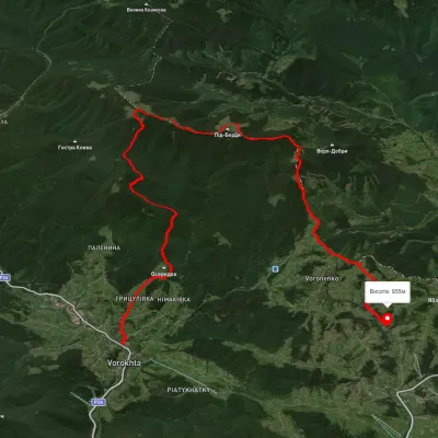 HardMulti-dayUnmarkedVorokhta to Yablunytsia villagevia Mount KukulElevation profile694–1 433 m24.6 kmascent 1 045 m≈ 8 h walkingunder 1 km from Polonyna Bukovyna (Kukul Ridge)
Nearby attractions
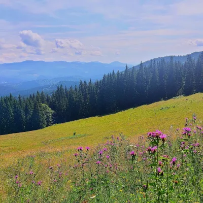 PeakMount Kychera (Vorokhta)Vorokhtaaltitude 1 225 m · Chornohora range4.7 km from Polonyna Bukovyna (Kukul Ridge)Kychera is a 1,225 m summit north of the Chornohora range, in Ivano-Frankivsk Oblast. It lies between Vorokhta (about 4.5 km) and Mount Kukul (1,539 m), about 3.2 km...
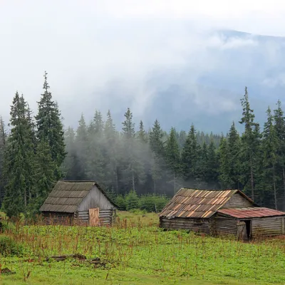 Mountain meadowPolonyna Kukul (Kukul), VoronenkoVoronenkoaltitude 1 440 m5.3 km from Polonyna Bukovyna (Kukul Ridge)Polonyna Kukul is a mountain meadow in the Ukrainian Carpathians, within the Kukul ridge (Kukul mountain - 1539 m), administratively located within the Zakarpattia...
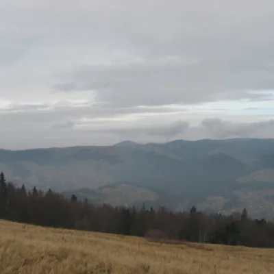 Mountain meadowPolonyna BorsuchynaVorokhtaaltitude 1 136 m5.7 km from Polonyna Bukovyna (Kukul Ridge)Polonyna Borsuchyna is located in Vorokhta, Ivano-Frankivsk region, at an altitude of 1136 meters in the Carpathians.
Craft nearby
All craft places Markets & fairsSouvenir Market on the Yablunytsia Pass, YablunytsiaYablunytsia6.5 km from Polonyna Bukovyna (Kukul Ridge)The souvenir market on the Yablunytsia Pass is one of the best-known roadside bazaars in the Carpathians.
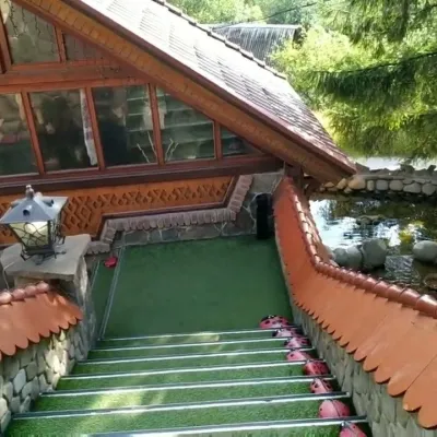 Koliby & Hutsul cuisineStara Vorokhta Restaurant, VorokhtaVorokhta7.1 km from Polonyna Bukovyna (Kukul Ridge)Stara Vorokhta restaurant ("Old Vorokhta") is one of the best-known places for Hutsul food in Vorokhta: on Google Maps it is rated 4.6 from more than 6,300 reviews, a...
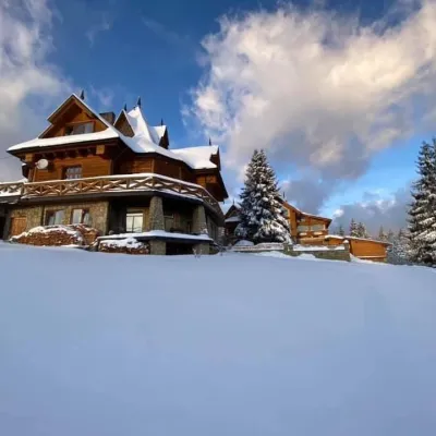 Koliby & Hutsul cuisineVysokyi Pereval Koliba, YablunytsiaYablunytsia7.4 km from Polonyna Bukovyna (Kukul Ridge)Vysokyi Pereval Koliba ("High Pass") stands in Yablunytsia, on the new road to Bukovel, in the Horishkiv area.
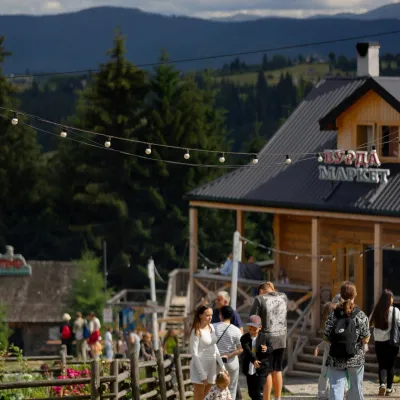 Mountain meadowPolonyna Pertsi Ethno Park, YablunytsiaYablunytsiaaltitude 940 m · Kukul range7.6 km from Polonyna Bukovyna (Kukul Ridge)Polonyna Pertsi (“Pepper Meadow”) is an ethno park of Hutsul traditions in Yablunytsia, close to the Yablunytsia Pass.
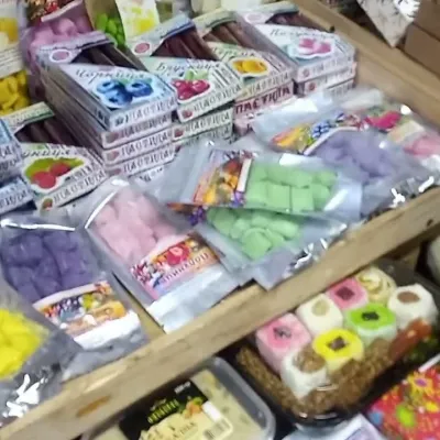 Markets & fairsSouvenir Bazaar by the Ski Jumps, VorokhtaVorokhta8.5 km from Polonyna Bukovyna (Kukul Ridge)The souvenir bazaar in Vorokhta is one of the busiest little trading spots in the mountain Hutsul region.
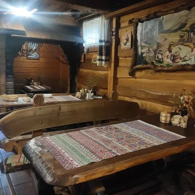 Koliby & Hutsul cuisineU Rizbaria Café, YasiniaYasinya9.6 km from Polonyna Bukovyna (Kukul Ridge)U Rizbaria Café (“At the Woodcarver’s”) in Yasinia is a small Hutsul place serving home cooking that travellers usually find by word of mouth.
