Polonyna Labieska
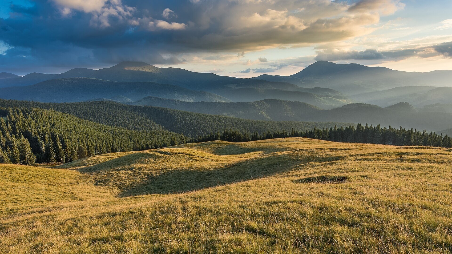
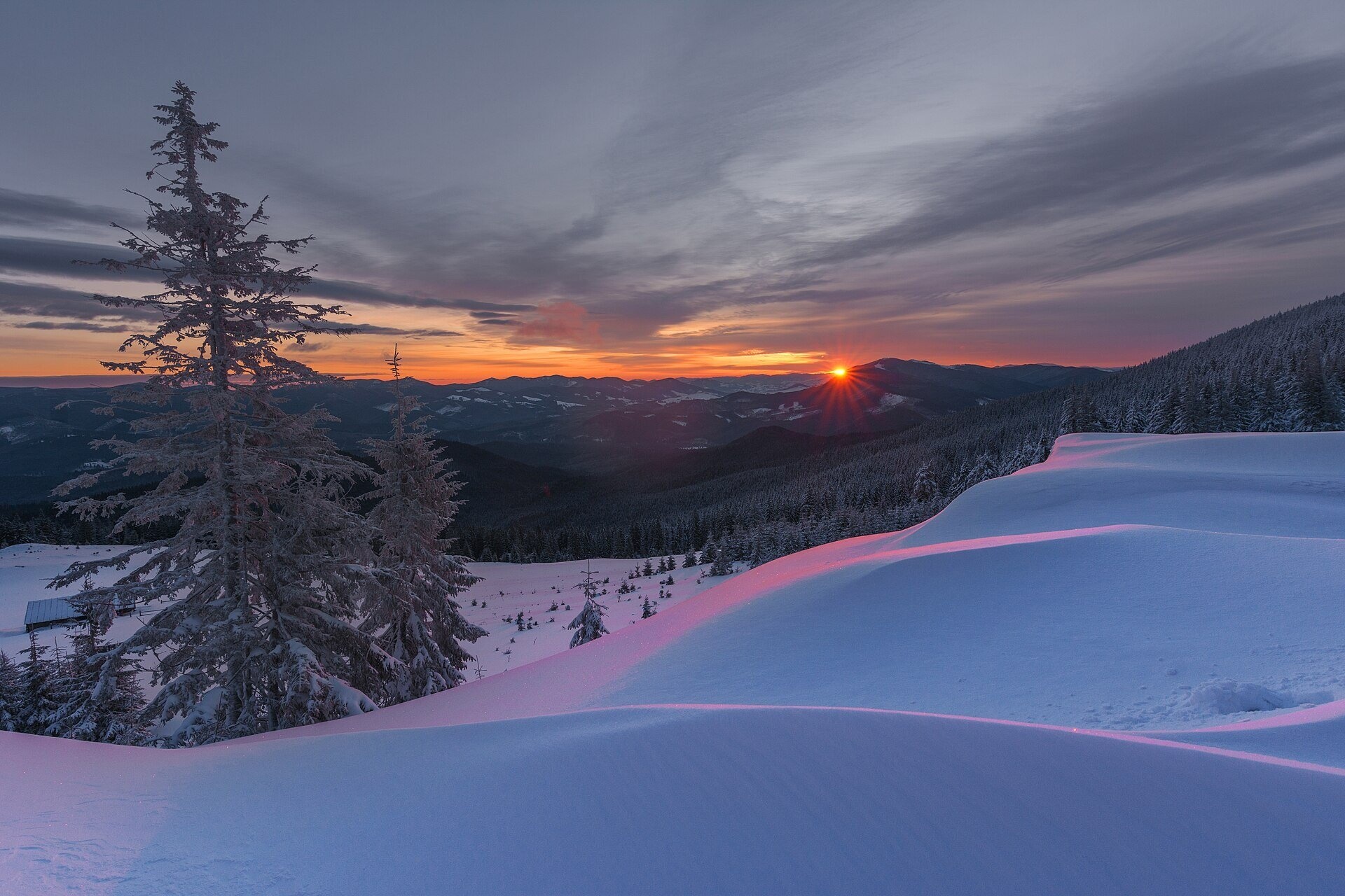
Polonyna Labieska (also spelled Labeska) lies on the northern slopes of the Kukul ridge, between Mount Kukul (1539 m) and Mount Kychera above Vorokhta, in Nadvirna district of Ivano-Frankivsk oblast. The open meadows lie at roughly 1340–1445 m; according to its outline on OpenStreetMap the pasture covers about 17 hectares, and hikers give the neighbouring Labieska summit a height of 1460 m.
Together with the Zakukul and Kukul pastures, Labieska surrounds Mount Kukul on three sides. The path from Vorokhta reaches it first, so for many people Labieska is their first encounter with the ridge. The northern and western slopes of Kukul belong to the Carpathian National Nature Park.
What you will see
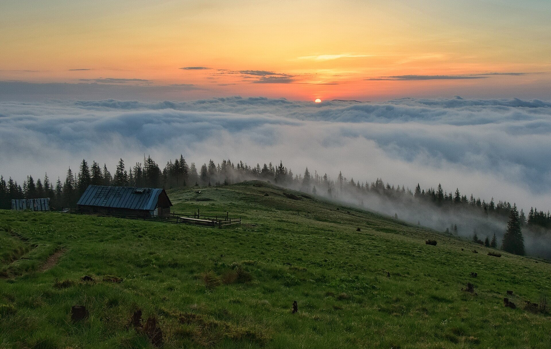
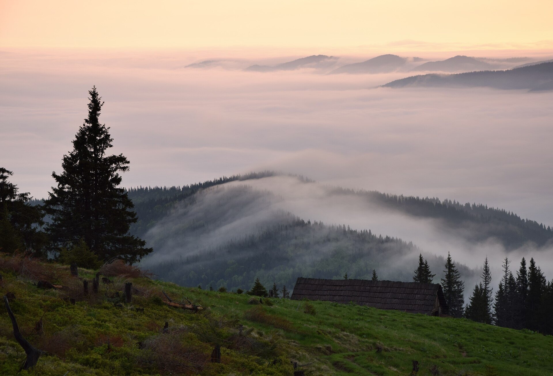
From Labieska you can see Vorokhta in the Prut valley, the Kostrycha ridge and, to the south, Chornohora with Hoverla and Petros. To the north-west, on clear days, the Gorgany massifs appear: Syniak, Dovbushanka, Polenskyi. The pasture is famous for its sunrises: in the morning a sea of clouds often fills the valleys and only the mountain crests rise above it — these are the shots photographers bring back from here most often.
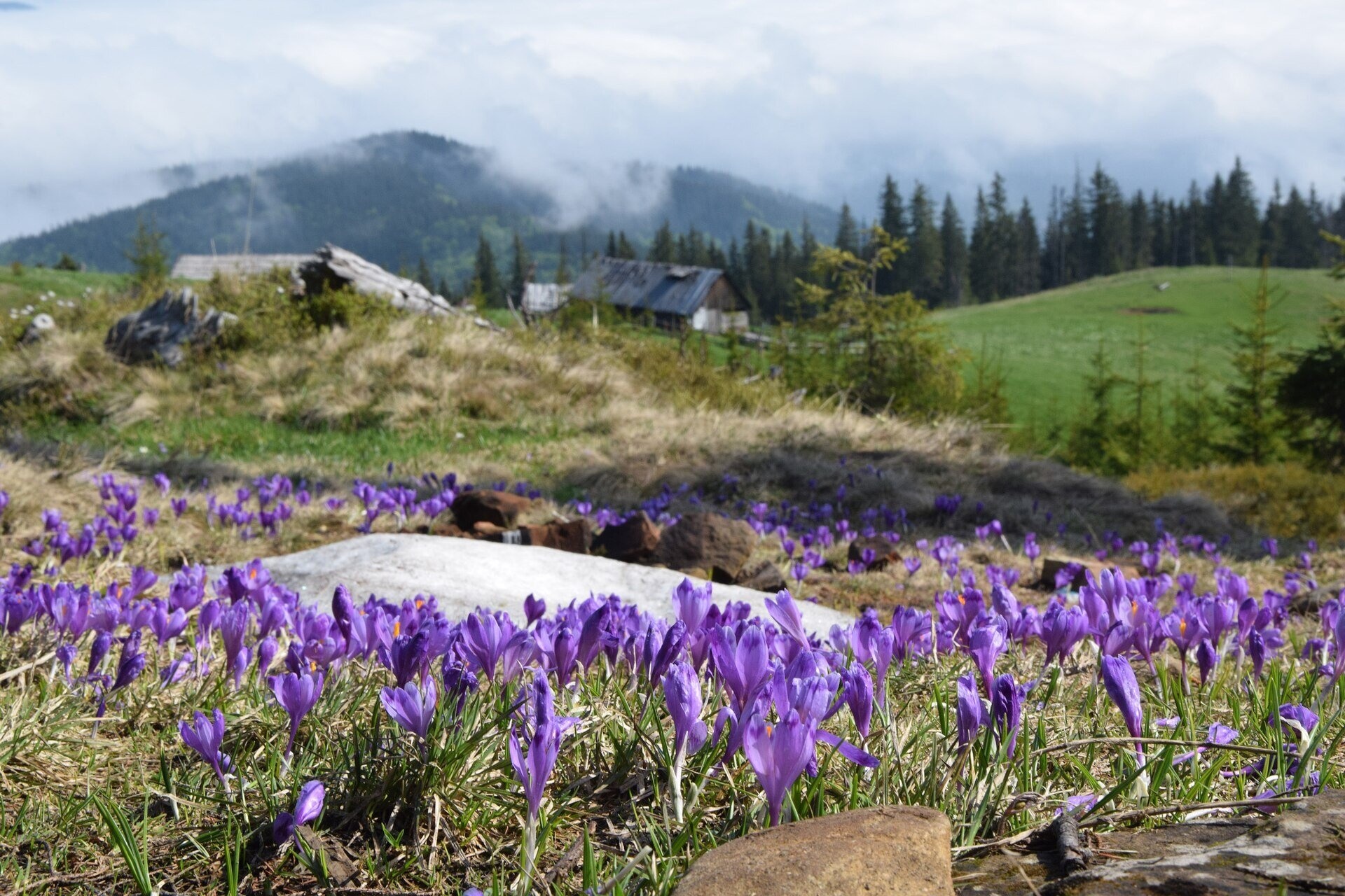
In spring, in April and May, crocuses bloom on Labieska, and in summer raspberries, wild strawberries, blueberries and lingonberries grow along the paths. On the pasture there are huts, a cross and a bench.
Shepherds, huts and cheese
On the pastures of the Kukul ridge — Labieska, Ozirna, Hryhorivka — the atmosphere of traditional pastoral life survives: in summer cattle graze here and shepherds make cheese right in their huts. Whether there will be a herd on Labieska this season and whether you can buy cheese is impossible to say in advance — ask on the spot or in the villages. The huts belong to the shepherds and are occupied in summer; a night in a hut is not guaranteed.
History and legends
Until 1939 the Polish–Czechoslovak border ran along the Kukul ridge; on Labieska you can still come across old border posts. During the First World War there was fighting for the ridge, and trenches and concrete fortifications survive around Kukul.
Below the pasture, on the northern slopes of Kukul at about 1200 m, a large shelter of the Settlers' Union opened at the end of 1938: a wooden building shaped like a Hutsul farmstead (grazhda) with a hundred beds, its own generator and a telephone line to Vorokhta. It was consecrated on 6 January 1939 but worked for less than a year: the war of 1939 ended its history. Today only the foundation and cellar remain. In the 1930s a trail led here from Vorokhta over Kychera — almost the same path that hikers use today.
Routes
- Vorokhta — Kychera — Labieska — Kukul: the most direct way to the pasture. From the centre of Vorokhta to the summit of Kukul it is about 12 km on blue waymarks; from Labieska to Vorokhta about 11 km. On the way you pass the Pereslip pass (1133 m) and the Kychera ridge with a spring (Vorokhta — Pereslip — Mount Kukul).
- From Voronenko yellow waymarks lead along the main ridge across the Bukovyna, Hryhorivka and Serednia pastures and end at the edge of Labieska, about 1.5 km north-west of the summit of Kukul (Voronenko — Kukul — Vorokhta, another variant).
- Lazeshchyna — Kukul — Labieska — Kychera — Vorokhta: from Lazeshchyna along the Foreshchanka stream up to the ridge on green waymarks, then over Labieska to Vorokhta; it can also be walked in reverse.
- Longer traverses: Vorokhta — Kukul — Yablunytsia, Yasinia — Petros — Hoverla — Kukul — Vorokhta.
The climb from Vorokhta means about 700 m of ascent on a forest path, which is hard for an unprepared person. There is no easier option without walking, but even a short walk to Kychera gives an idea of the ridge.
Getting there
Vorokhta is a railway station on the Ivano-Frankivsk — Rakhiv line, and the N09 highway runs through the town. The path to Kychera and Labieska starts on the outskirts of Vorokhta. For the route from Voronenko, take the train to Voronenko station.
When to go and weather
The best time is from May to October. Crocuses bloom in April and May, depending on when the snow melts. In summer cattle graze on the pasture. In winter Labieska attracts people with sunrises over snowy slopes, but you should only come here with experience and winter equipment. Clouds and fog gather on the ridge very quickly.
Water, shelters and overnight
The nearest water is a spring below Mount Kukul and a spring on Polonyna Kukul. On the pasture itself there is a hut; nearby is the shepherds' hut on Polonyna Ozirna, which hikers consider one of the most comfortable places to spend the night on the ridge. In summer these huts are used by shepherds, so bring a tent. Accommodation is available in Vorokhta and Voronenko.
Safety
- Walk around flocks, do not run from shepherd dogs and call the shepherd.
- Thunderstorms and fog are dangerous on the open ridge — watch the forecast and carry a GPS.
- Near Vorokhta many paths branch off — it is easy to take a wrong turn.
- This is national park land: do not light fires outside designated places and do not pick plants.
- Register your route with the State Emergency Service rescuers; in an emergency call 112 or 103.
What visitors say
- Labieska is loved for its sunrises: waking up above a sea of clouds is the main reason to camp right here.
- After rain the descent to Vorokhta turns into mud, slippery and rutted in places — good boots and spare socks are needed.
- The weather changes within minutes: the huts and the cross on the pasture can vanish in a cloud.
- The summit of Kukul above the pasture is forested, there is no panorama from it, and the summit marker itself is hard to find.
- At the entrances and exits of the pastures there are cattle fences you have to climb over.
- In summer there are lots of berries along the paths — raspberries, wild strawberries, blueberries.
Polonynas and peaks around
- Polonyna Kukul — the large neighbouring pasture with huts below the summit.
- Polonyna Zakukul — Kukul's south-eastern pasture with the finest panorama of Chornohora.
- Polonyna Bukovyna — the start of the path from Voronenko.
- Polonyna Borsuchyna — a neighbouring pasture on the slopes above Vorokhta.
- Mount Kychera — the forested ridge between Vorokhta and Labieska.
- Mount Kostrycha — the summit of the ridge clearly visible from the pasture.
- Mount Velyka Kozmeska — a neighbouring peak on the way to Hoverla.
Photos: Eugene Stolyarov, CC BY-SA 4.0, Wikimedia Commons; Сергій Криниця (Haidamac), CC BY-SA 4.0, Wikimedia Commons; Haidamac, CC BY-SA 4.0, Wikimedia Commons; Misha Reme, CC BY-SA 4.0, Wikimedia Commons; Бабенко Наталія, CC BY-SA 4.0, Wikimedia Commons; Віталій Попков, CC BY-SA 4.0, Wikimedia Commons.
Video 2
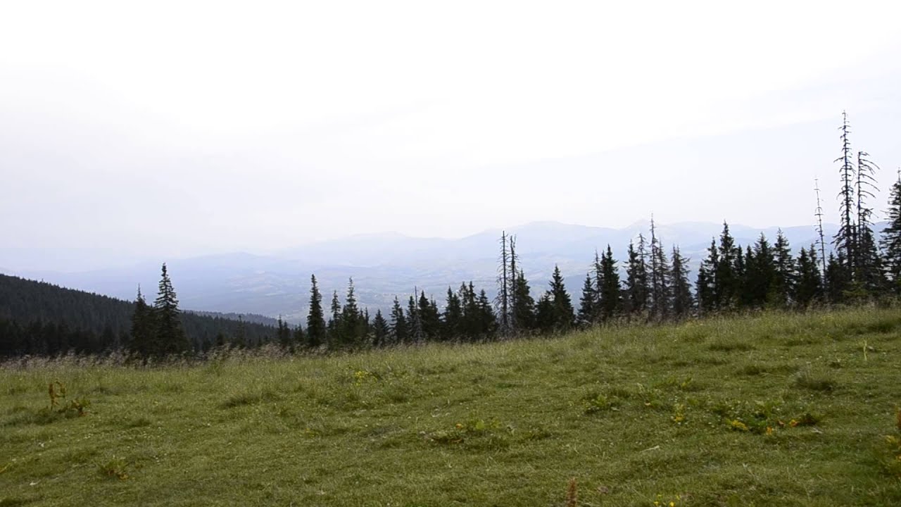 Полонина Лаб"єска.По дорозі на Кукул...Олександр Мінько

Location on the map
Water and shelter nearby
- Spring below Mount Kukul (7)250 m · Not verified · 1 363 m
- Spring on Polonyna Kukul (2)540 m · Not verified · 1 348 m
- Hut on Polonyna Kukul570 m · Not verified · 1 355 m
- Shepherds' hut on Polonyna Ozirna570 m · Standing · 1 355 m
- Spring below Mount Kukul (8)580 m · Not verified · 1 248 m
- Spring on Polonyna Kukul700 m · Not verified · 1 306 m
- Shepherds' hut on Polonyna Kukul840 m · Standing · 1 365 m
- Spring on Polonyna Kukul (3)1.1 km · Not verified · 1 357 m
- Hut on Polonyna Serednia1.3 km · Standing · 1 336 m
- Spring below Mount Kukul (5)1.3 km · Not verified · 1 340 m
- Spring below Mount Kukul (6)1.3 km · Not verified · 1 350 m
- Spring below Mount Kukul (10)1.6 km · Not verified · 1 354 m
- Hut on Polonyna Zakukul1.7 km · Not verified · 1 420 m
- Spring below Mount Kukul (9)1.7 km · Not verified · 1 417 m
- Hut on Polonyna Borsuchyna1.8 km · Not verified · 1 138 m
- Hut on Polonyna Bursuchyna1.8 km · Not verified · 1 137 m
Comments
Places to stay nearby
All stays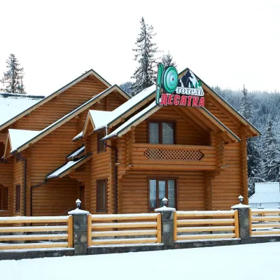 HotelHotel "Desyatka" Vorokhta (near Hoverlyansky Checkpoint)Vorokhta4.3 km from Polonyna LabieskaPoolSaunaBreakfastNearby: Mt Kukul 3.6 kmPolonyna Kukul 4.0 km5 trails
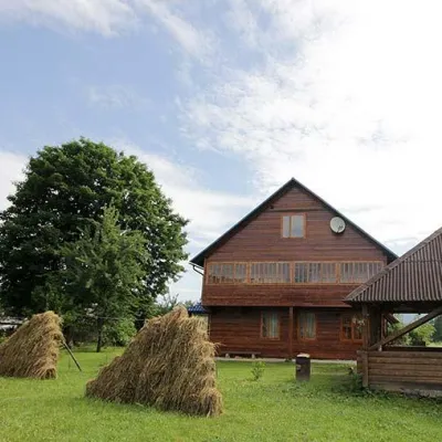 HomesteadHomestead "PID YAVOROM" Vorokhta (Tenth Kilometer)Vorokhta4.4 km from Polonyna LabieskaSaunaBBQKitchenNearby: Mt Kukul 3.7 kmPolonyna Kukul 4.1 km5 trails
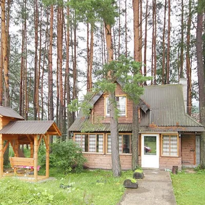 HomesteadHomestead "Sosnovyi Dvir" Vorokhta (Tenth Kilometer)Vorokhta4.4 km from Polonyna LabieskaSaunaBBQKitchenNearby: Mt Kukul 3.7 kmPolonyna Kukul 4.1 km5 trails
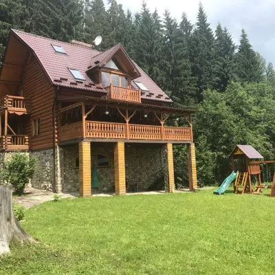 CottageCottage "Try Hory" Vorokhta (Tenth Kilometer)Vorokhta4.4 km from Polonyna LabieskaSaunaBBQKitchenNearby: Mt Kukul 3.7 kmPolonyna Kukul 4.1 km5 trails
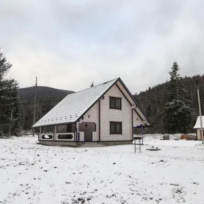 HomesteadHomestead "SWEET HOME" Vorokhta (Tenth Kilometer)Vorokhta4.4 km from Polonyna LabieskaSaunaBBQKitchenNearby: Mt Kukul 3.7 kmPolonyna Kukul 4.1 km5 trails
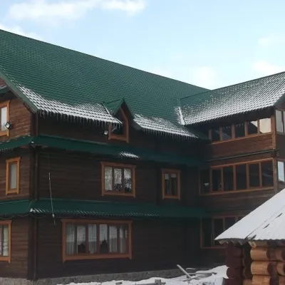 HotelHotel "Yuraya" Vorokhta (near the checkpoint to Hoverla)Vorokhta4.5 km from Polonyna LabieskaHot tubPoolSaunaNearby: Mt Kukul 3.8 kmPolonyna Kukul 4.2 km6 trails
Trails nearby
All trails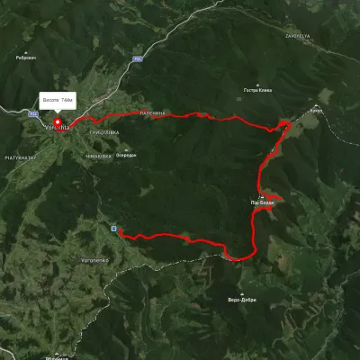 HardMulti-dayUnmarkedVoronenko village to Vorokhtavia Mount KukulElevation profile743–1 458 m30.3 kmascent 1 329 m≈ 10 h walkingunder 1 km from Polonyna Labieska
 HardMulti-dayUnmarkedYasinia to Vorokhtavia Mount Petros, Mount Hoverla +1Elevation profile654–2 046 m46.4 kmascent 2 788 munder 1 km from Polonyna Labieska
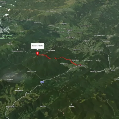 ModerateOne-dayMarkedVorokhta Mount Kukulvia Perehslyp tractElevation profile738–1 518 m11.7 kmascent 1 108 m≈ 5 h walkingunder 1 km from Polonyna Labieska
Nearby attractions
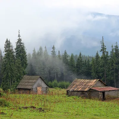 Mountain meadowPolonyna Kukul (Kukul), VoronenkoVoronenkoaltitude 1 440 munder 1 km from Polonyna LabieskaPolonyna Kukul is a mountain meadow in the Ukrainian Carpathians, within the Kukul ridge (Kukul mountain - 1539 m), administratively located within the Zakarpattia...
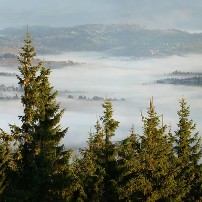 PeakMount KukulVorokhtaaltitude 1 539 m1.2 km from Polonyna Labieska20 trails to the topKukul (another name - Kukul) is a 1539-meter peak in the Ukrainian Carpathians, which is located in the northern direction of the Chornohora mountain range.
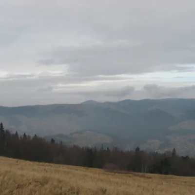 Mountain meadowPolonyna BorsuchynaVorokhtaaltitude 1 136 m1.8 km from Polonyna LabieskaPolonyna Borsuchyna is located in Vorokhta, Ivano-Frankivsk region, at an altitude of 1136 meters in the Carpathians.
Craft nearby
All craft places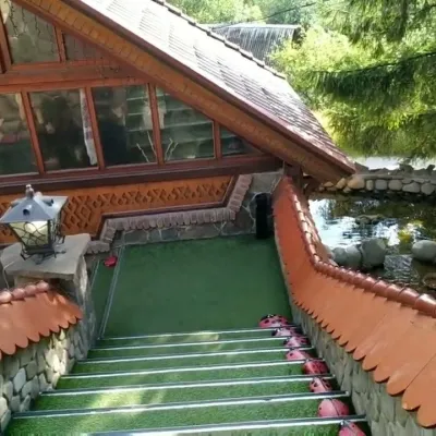 Koliby & Hutsul cuisineStara Vorokhta Restaurant, VorokhtaVorokhta7.3 km from Polonyna LabieskaStara Vorokhta restaurant ("Old Vorokhta") is one of the best-known places for Hutsul food in Vorokhta: on Google Maps it is rated 4.6 from more than 6,300 reviews, a...
 Markets & fairsSouvenir Bazaar by the Ski Jumps, VorokhtaVorokhta8.5 km from Polonyna LabieskaThe souvenir bazaar in Vorokhta is one of the busiest little trading spots in the mountain Hutsul region.
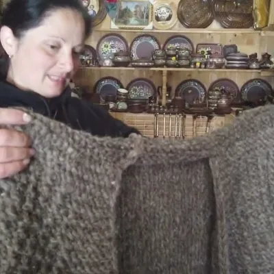 Markets & fairsSouvenir Market on the Yablunytsia Pass, YablunytsiaYablunytsia11 km from Polonyna LabieskaThe souvenir market on the Yablunytsia Pass is one of the best-known roadside bazaars in the Carpathians.
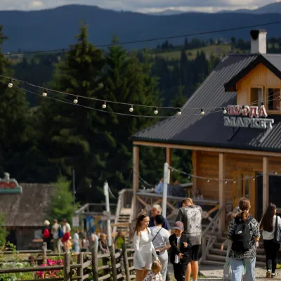 Mountain meadowPolonyna Pertsi Ethno Park, YablunytsiaYablunytsiaaltitude 940 m · Kukul range12 km from Polonyna LabieskaPolonyna Pertsi (“Pepper Meadow”) is an ethno park of Hutsul traditions in Yablunytsia, close to the Yablunytsia Pass.
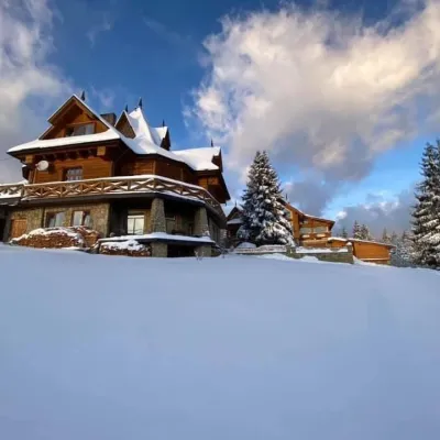 Koliby & Hutsul cuisineVysokyi Pereval Koliba, YablunytsiaYablunytsia12 km from Polonyna LabieskaVysokyi Pereval Koliba ("High Pass") stands in Yablunytsia, on the new road to Bukovel, in the Horishkiv area.
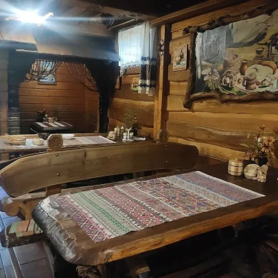 Koliby & Hutsul cuisineU Rizbaria Café, YasiniaYasinya14 km from Polonyna LabieskaU Rizbaria Café (“At the Woodcarver’s”) in Yasinia is a small Hutsul place serving home cooking that travellers usually find by word of mouth.
