Condition
Not verifiedNo recent reports. Carry water and, if you pass by, tell us what you saw.
- 1 348 m
- Marked as drinkable
About
Chornohora range, about 1 350 m above sea level. Mount Kukul (1 539 m) is about 1.1 km away. The nearest settlement is Vorokhta, about 7.1 km in a straight line. 8 of the site’s trails pass nearby, including “Vorokhta, via Mount Kukul, Mount Breskul, Mount Rebra and Mount Pip Ivan Chornohirskyi to Dzembronia village”.
The water is marked as drinkable on the map, but nobody guarantees its quality.
On the map
Coordinates: 48.22284, 24.53514
How to get there
Trails nearby
 HardMulti-dayUnmarkedVorokhta to Dzembronia villagevia Mount Kukul, Mount Breskul +2Elevation profile741–2 010 m59.1 kmascent 3 364 m
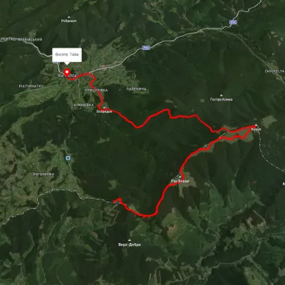 HardMulti-dayUnmarkedVoronenko village to Vorokhtavia Mount KukulElevation profile777–1 587 m25.2 kmascent 940 m≈ 8 h walking
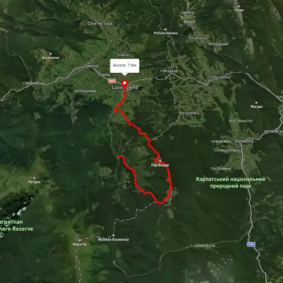 HardTwo-dayMarkedLazeshchyna loopvia Mount KukulElevation profile699–1 413 m21.3 kmascent 1 346 m≈ 8 h walking
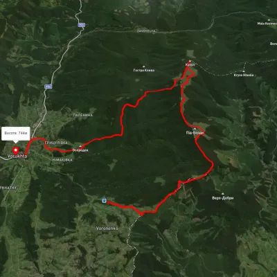 HardMulti-dayUnmarkedVoronenko village to Vorokhtavia Mount KukulElevation profile735–1 528 m24.8 kmascent 1 087 m≈ 8.5 h walking
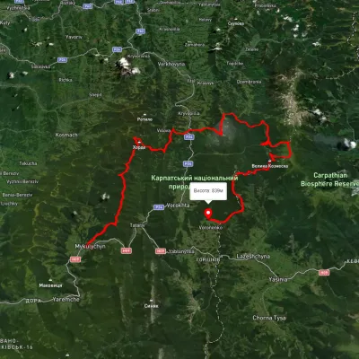 HardMulti-dayUnmarkedMykulychyn village to Voronenko villagevia Mount Khorde, Mount Pozhyzhevska +2Elevation profile585–2 036 m93 kmascent 4 482 m
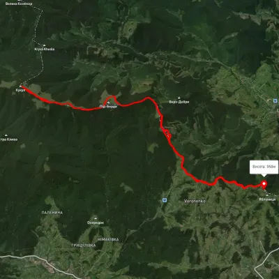 HardMulti-dayUnmarkedVoronenko village loopvia Mount KukulElevation profile920–1 574 m29.5 kmascent 1 248 m≈ 10 h walking
Nearest settlement: Vorokhta, about 7.1 km in a straight line.
Report the condition
Been here recently? Tell us what you saw and add photos — your report appears on the page right away with today’s date.
No photos yet — send yours together with a condition report.
