Voronenko village – Ozirna polonyna
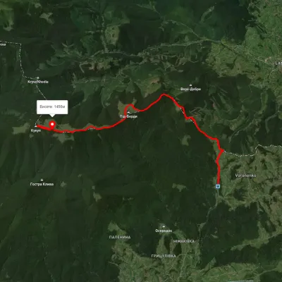
Trail map
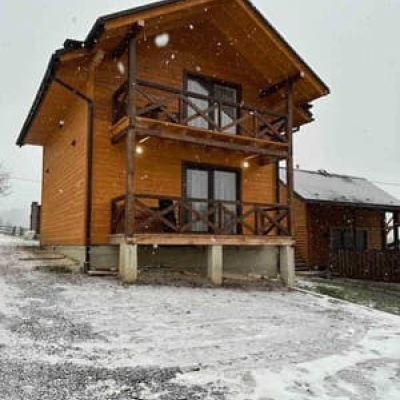
Where to stay nearby
About the trail
Route Voronenko village – Ozirna polonyna. Has yellow marking (short routes, connecting paths, shortcuts). Along the route you will see: Polonyna Kukul (Kukul), Voronenko.
At a glance
A one-day route of 10.5 km with 263 m of ascent and 842 m of descent from Voronenko village to Ozirna polonyna. Estimated walking time: about 3 h, not counting stops. Difficulty: easy. Waymarking: yellow.
Route stages
- 0–6 kmGentle ups and downs at 1,170–1,410 m
- 6–8 kmDescent of 280 m (down to 910 m)
- 8–11 kmGentle ups and downs at 820–910 m
Steepest kilometre: km 6–7, a descent of 180 m (≈17%).
Water and overnight stays
Springs near the trail: at km 0, 1, 3, 6 and 7.
Huts and shelters near the trail: Hut on Polonyna Serednia (km 1), Hut on Polonyna Hryhorivka (km 3), Hut (Voronenko, 3) (km 6), Hut (Voronenko) (km 6), Hut (Voronenko, 4) (km 6). Places to stay near the start: Vorokhta; near the finish: Yablunytsia.
When to go
Best time: May to October. In winter deep snow is possible, so experience and winter gear are needed.
Getting there
Start: Voronenko village. Most places to stay near the start are in Vorokhta. This is a one-way route: the finish is 6 km from the start in a straight line, so plan your way back in advance.
FAQ
- How long does the route take?
- Estimated walking time: about 3 h, not counting stops.
- Is there water on the route?
- Springs near the trail: at km 0, 1, 3, 6 and 7.
- Where can I stay overnight?
- Huts and shelters near the trail: Hut on Polonyna Serednia (km 1), Hut on Polonyna Hryhorivka (km 3), Hut (Voronenko, 3) (km 6), Hut (Voronenko) (km 6), Hut (Voronenko, 4) (km 6). Places to stay near the start: Vorokhta; near the finish: Yablunytsia.
Water and shelter on the route
- Spring below Mount Kukul (7)km 0 from the start · 270 m off the path · Not verified · 1 363 m
- Hut on Polonyna Seredniakm 1 from the start · 50 m off the path · Standing · 1 336 m
- Spring below Mount Kukul (5)km 1 from the start · Not verified · 1 340 m
- Spring (Voronenko, 15)km 2.8 from the start · Not verified · 1 362 m
- Hut on Polonyna Hryhorivkakm 3.2 from the start · Standing · 1 314 m
- Spring (Voronenko, 13)km 3.4 from the start · 70 m off the path · Not verified · 1 330 m
- Hut (Voronenko, 3)km 5.6 from the start · Not verified · 1 150 m
- Hut (Voronenko)km 5.7 from the start · Not verified · 1 152 m
- Hut (Voronenko, 4)km 5.7 from the start · Not verified · 1 152 m
- Spring (Voronenko, 9)km 5.8 from the start · 150 m off the path · Not verified · 1 146 m
- Spring (Voronenko, 10)km 6.9 from the start · Not verified · 1 063 m
Comments
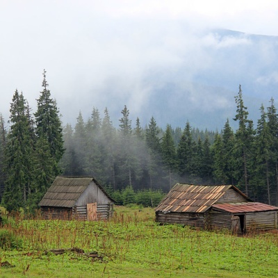
What to see on the trail
Trails nearby
All trails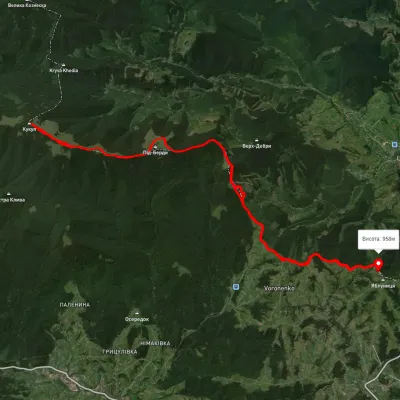 HardMulti-dayUnmarkedVoronenko village loopvia Mount KukulElevation profile920–1 574 m29.5 kmascent 1 248 m≈ 10 h walking
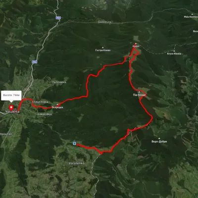 HardMulti-dayUnmarkedVoronenko village to Vorokhtavia Mount KukulElevation profile735–1 528 m24.8 kmascent 1 087 m≈ 8.5 h walking
 ModerateOne-dayUnmarkedVoronenko village Mount KukulElevation profile823–1 537 m13.4 kmascent 1 025 m≈ 5.5 h walking