Nimchych Pass – Protiate Kaminnia
Trail map
Where to stay nearby

About the trail
Route Nimchych Pass – Protiate Kaminnia. Has red marking (international, long-distance or mountain routes). Along the route you will see: Church of St. Basil, Pidzakharychi, Museum of Ethnography and Local History of the Hutsul Region, Pidzakharychi, Nimchych Pass, Pidzakharychi., Dovbush's cave, Pidzakharychi., Protyate Kaminnya (Sokolynye Oko).
At a glance
A one-day route of 10.1 km with 1,063 m of ascent from Nimchych Pass to Protiate Kaminnia. Estimated walking time: about 4.5 h, not counting stops. Difficulty: moderate. Waymarking: red.
Route stages
- 0–2 kmClimb of 280 m to Dovbush's cave
- 2–4 kmGentle ups and downs at 770–810 m
- 4–6 kmDescent of 210 m to Nimchych Pass
- 6–8 kmClimb of 170 m (up to 752 m)
- 8–10 kmGentle ups and downs at 700–780 m
Steepest kilometre: km 6–7, a climb of 180 m (≈18%), near Nimchych Pass.
Water and overnight stays
Springs near the trail: at km 6, 8 and 10.
Places to stay near the start: Vyzhnytsia; near the finish: Vyzhenka.
When to go
The route can be walked most of the year; it is most comfortable from April to October.
Getting there
Start: Nimchych Pass. Most places to stay near the start are in Vyzhnytsia. This is a one-way route: the finish is 7 km from the start in a straight line, so plan your way back in advance.
FAQ
- How long does the route take?
- Estimated walking time: about 4.5 h, not counting stops.
- Is there water on the route?
- Springs near the trail: at km 6, 8 and 10.
- Where can I stay overnight?
- Places to stay near the start: Vyzhnytsia; near the finish: Vyzhenka.
Water and shelter on the route
- Drinking water (Khorovy)km 5.9 from the start · 100 m off the path · Not verified · 598 m
- Spring (Khorovy, 3)km 7.7 from the start · Not verified · 760 m
- Drinking water (Tovarnytsia)km 9.9 from the start · 230 m off the path · Not verified · 667 m
Comments
What to see on the trail
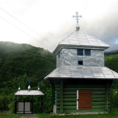 Church of St. Basil, Pidzakharychialtitude 496 mBasil in the village of Pidzakharychi, Chernivtsi region, was originally built in 1866 (according to some other sources - in 1876) in the style of...
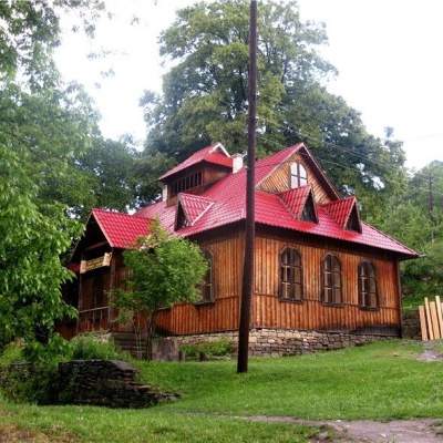 Museum of Ethnography and Local History of the Hutsul Region, Pidzakharychialtitude 496 mTheMuseum of Ethnography and Local History of the Hutsul Region in the village of Pidzakharychi, Chernivtsi Oblast, was founded in the 20th century...
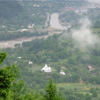 Nimchych Pass, Pidzakharychi.altitude 586 mThe Nimchych Pass, 586.3 meters above sea level, is located between the Vyzhnytsia (Vyzhenka village) and Putyla (Pidzakharychi village) districts...
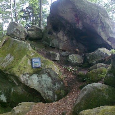 Dovbush's cave, Pidzakharychi.altitude 496 mThe brave leader of the opryshky did not ignore these places: not far from the Nimchych Pass, there was Dovbush's cave, which served as a refuge...
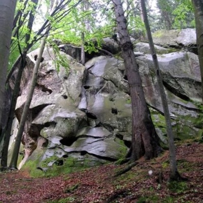 Protyate Kaminnya (Sokolynye Oko)altitude 662 mProtyate Kaminni - a geological natural monument of local significance, a group of picturesque rocks.
Trails nearby
All trails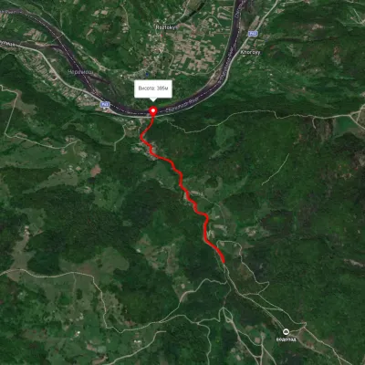 EasyOne-dayMarkedSmuharski WaterfallsElevation profile395–483 m4 kmascent 106 m≈ 1 h walking
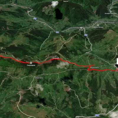 EasyOne-dayUnmarkedPysanyi Kamin Bukovets villageElevation profile774–1 207 m6.9 kmascent 127 m≈ 2 h walking
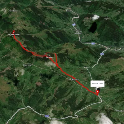 ModerateTwo-dayUnmarkedBukovets village loopvia Pysanyi KaminElevation profile845–1 261 m12.4 kmascent 823 m≈ 4.5 h walking