Bukovets villageloop, via Pysanyi Kamin
Unmarked trailmore
It may be partly marked. Unmarked trails have no information boards, signposts or auxiliary signs (water, campsite, etc.). The decision to walk the trail is entirely your own responsibility.
Trail map
Where to stay nearby
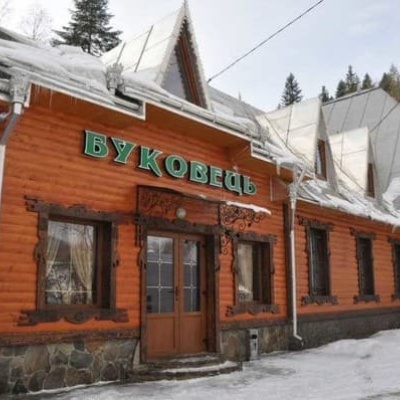
About the trail
Route Bukovets village – Pysanyi Kamin – Bukovets village. Along the route you will see: Lake Bukovets (Bukovetsky Pass), Bukovelian pass, The written stone.
At a glance
A one-day loop route of 12.4 km with 823 m of ascent, starting and finishing at Bukovets village. Estimated walking time: about 4.5 h, not counting stops. Difficulty: moderate. Waymarking is missing or partial.
Route stages
- 0–2 kmClimb of 180 m (up to 1,053 m)
- 2–4 kmGentle ups and downs at 1,050–1,090 m
- 4–7 kmClimb of 170 m to The written stone
- 7–9 kmGentle ups and downs at 1,140–1,250 m
- 9–12 kmDescent of 310 m to Bukovelian pass
Steepest kilometre: km 9–10, a descent of 170 m (≈17%).
Water and overnight stays
Springs near the trail: at km 2 and 12. There are no springs between km 2 and 12 — carry at least 2 l of water.
Huts and shelters near the trail: Hut below Mount Kopylash (km 4). Places to stay near the start and finish: Verkhovyna.
When to go
Best time: May to October. In winter deep snow is possible, so experience and winter gear are needed.
Getting there
Start: Bukovets village. Most places to stay near the start are in Verkhovyna. This is a loop: it brings you back to the start.
FAQ
- How long does the route take?
- Estimated walking time: about 4.5 h, not counting stops.
- Is there water on the route?
- Springs near the trail: at km 2 and 12. There are no springs between km 2 and 12 — carry at least 2 l of water.
- Where can I stay overnight?
- Huts and shelters near the trail: Hut below Mount Kopylash (km 4). Places to stay near the start and finish: Verkhovyna.
Water and shelter on the route
- Spring (Bukovets, 3)km 2.2 from the start · Not verified · 1 019 m
- Hut below Mount Kopylashkm 3.8 from the start · Not verified · 1 053 m
- Drinking water (Bukovets)km 12.1 from the start · 120 m off the path · Not verified · 810 m
Comments
What to see on the trail
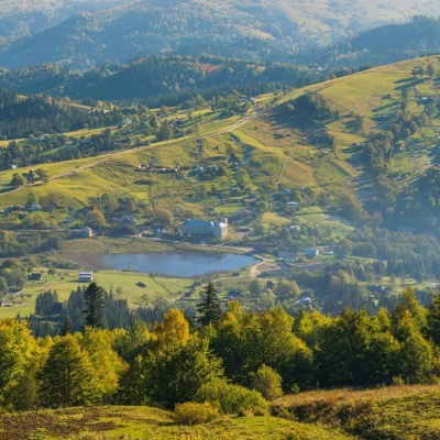 Lake Bukovets (Bukovetsky Pass)altitude 927 mThe large lake Bukivets is located on the border of Kosiv and Verkhovyna districts. There is a large lake in the center of the village of Bukivets,...
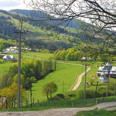 Bukovelian passaltitude 510 mIt is a place where many tourist routes converge and where you can take a break from the climbs.The Bukovetsky pass is very picturesque and in its...
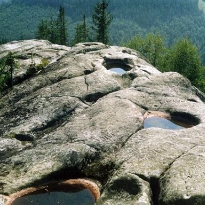 The written stonealtitude 927 mPysanyi Kamenis jest interesującym historycznym i geologicznym pomnikiem przyrody o lokalnym znaczeniu w Ukrainie.
Trails nearby
All trails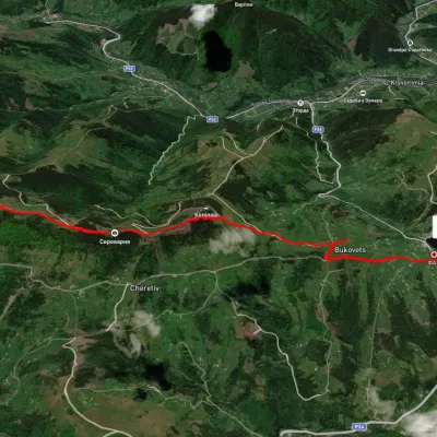 EasyOne-dayUnmarkedPysanyi Kamin Bukovets villageElevation profile774–1 207 m6.9 kmascent 127 m≈ 2 h walking
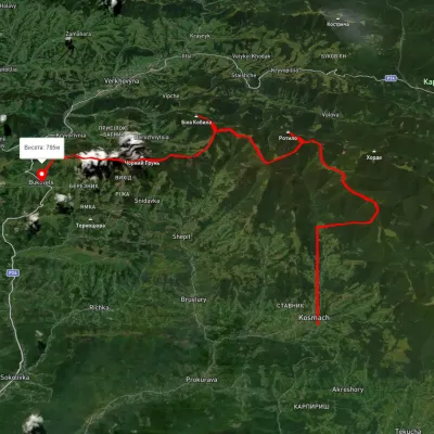 HardMulti-dayUnmarkedKosmach village to Bukovets villagevia Mount Rotylo, Mount Hrehit +1Elevation profile612–1 461 m40.2 kmascent 1 739 m≈ 13.5 h walking
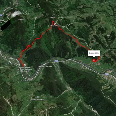 ModerateOne-dayMarkedTo Dovbush ChambersElevation profile554–1 122 m7.9 kmascent 800 m≈ 3.5 h walking