Mount Lysyna Kosmatska
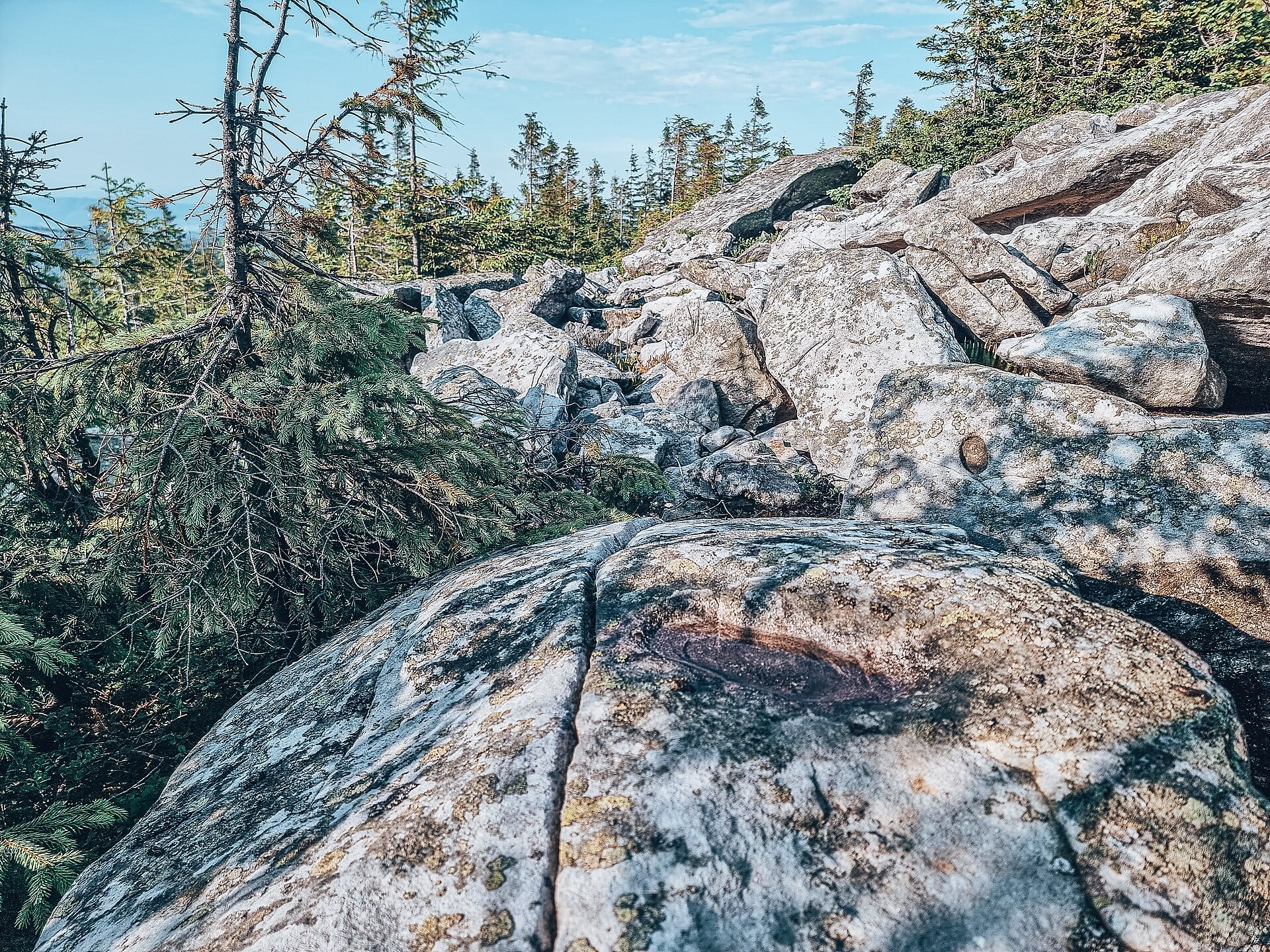
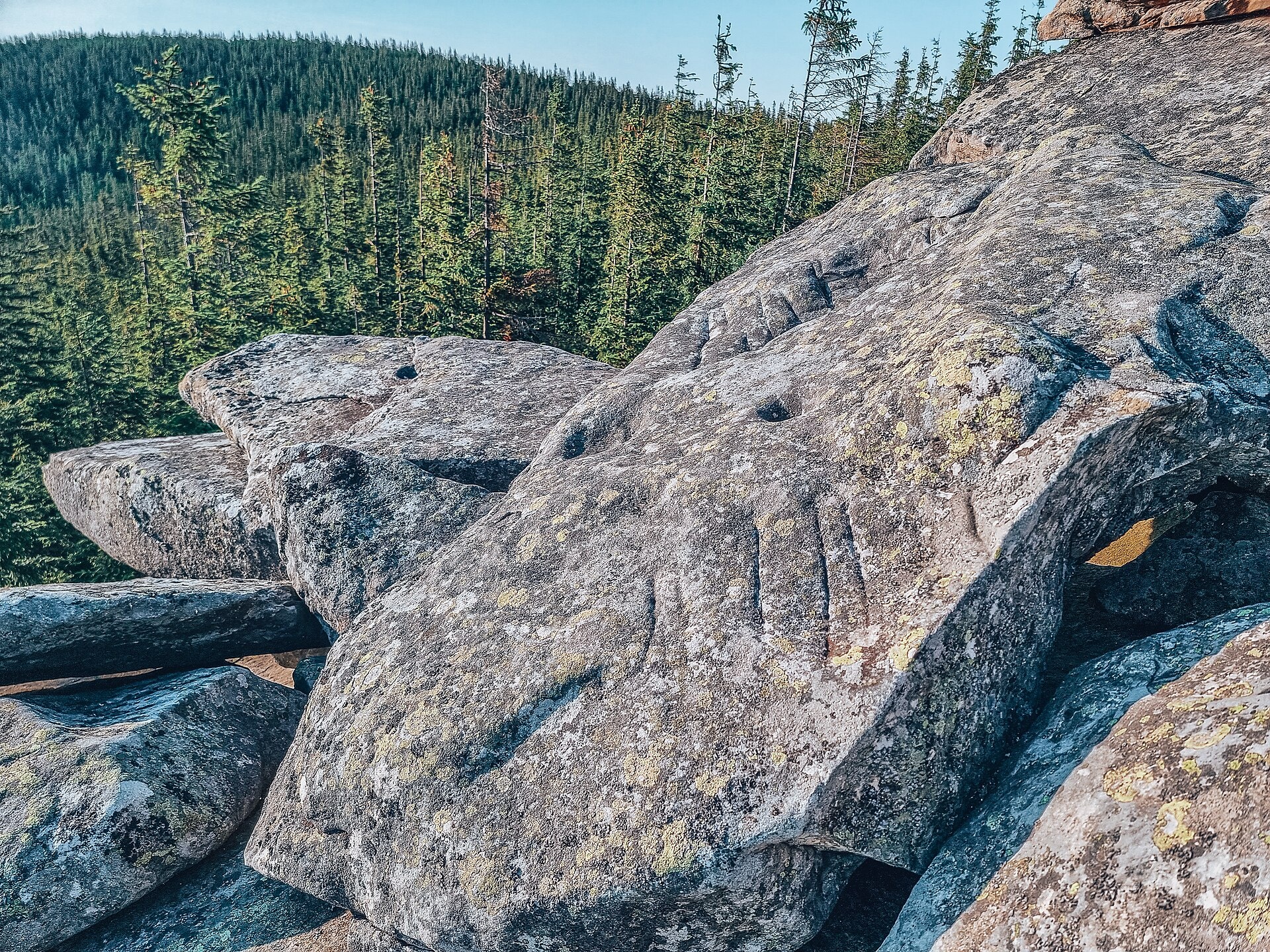
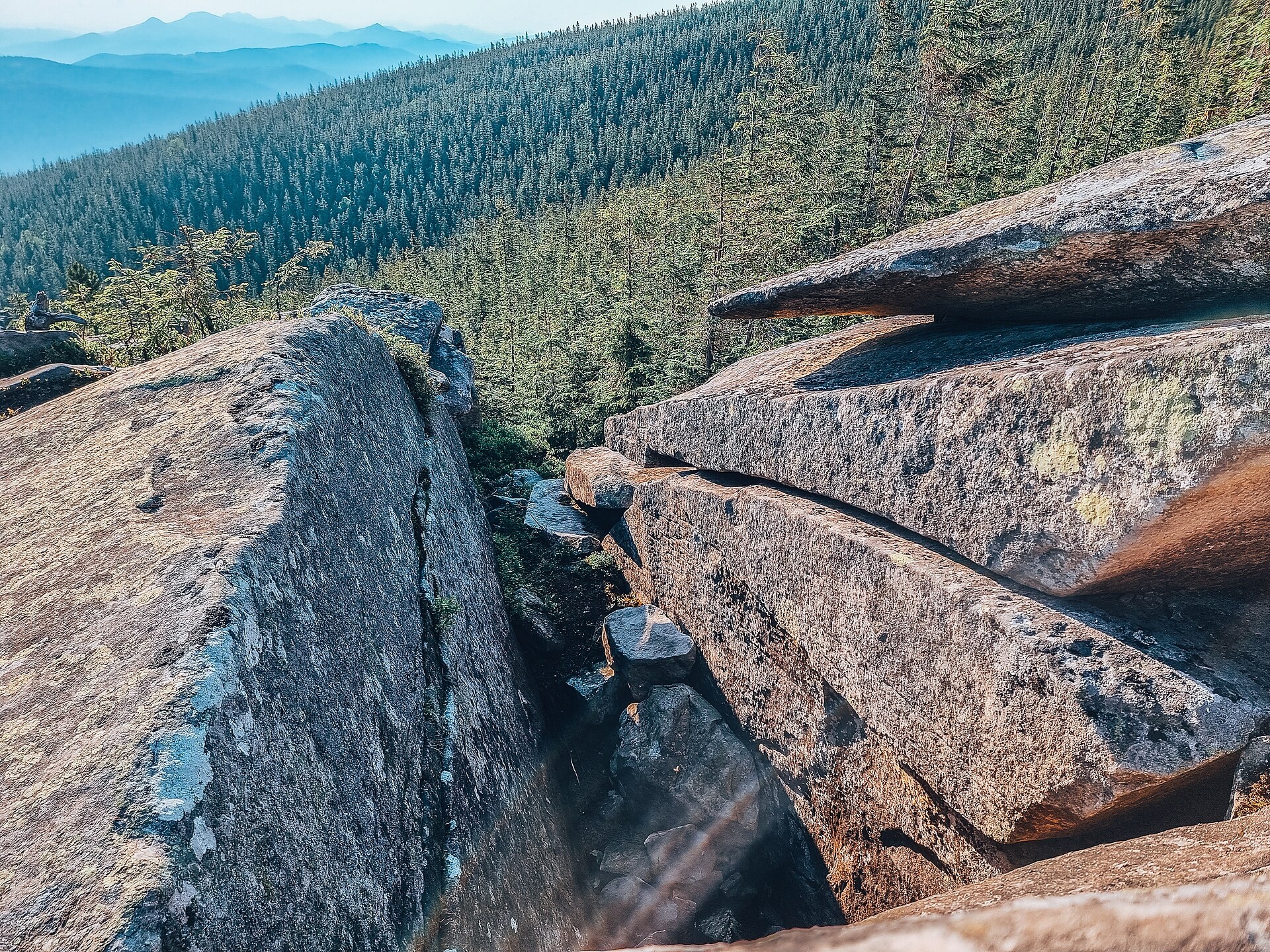
Lysyna Kosmatska is a 1,465 m mountain (1,466 m by other data) in the Pokuttia-Bukovyna Carpathians. It stands on the border of the Nadvirna and Kosiv districts of Ivano-Frankivsk Oblast, south-west of the village of Kosmach. The summit is treeless, the slopes are steep (especially to the north and east) and wooded. To the south rises the highest summit of the Pokuttia-Bukovyna Carpathians, Rotylo; to the south-west Horde (Khorde), and to the south-east Hrehit.
How to get there
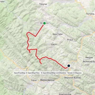
The nearest villages are Kosmach and Volova (about 7–7.5 km in a straight line). Our site has no route dedicated to Lysyna Kosmatska itself, but the long route Verkhovyna — Mt Bila Kobyla — Mt Makovytsia — Dovbush Rocks — Yaremche (63.8 km) passes about 20 m from the summit. Close by also runs the route Kosmach — Mt Rotylo — Mt Hrehit — Mt Bila Kobyla — Bukovets (40.2 km), from which the summit is easily reached along the ridge. Check the track on your navigation app before you set off: in the forested part of the slopes the paths branch.
Water, shelter and safety
Our map shows a shepherd hut on the Ledeskul meadow 1.2 km from the summit. We have no reliable springs near the summit itself, so bring water from the valley. The bare summit is exposed to wind and thunderstorms, and the steep northern and eastern slopes get slippery after rain. Tell someone your route; in an emergency call 112 or 101 — the mountain rescue units of the Prykarpattia region answer around the clock.
Interesting facts
- The mountain is known for an ancient pagan sanctuary (according to other sources, an ancient observatory) located south of its highest point.
- The Pozheratul reserve lies on the southern slopes of the mountain.
Photos: Yestaxiy, CC BY-SA 4.0; Yestaxiy, CC BY-SA 4.0; Yestaxiy, CC BY-SA 4.0; Yestaxiy, CC BY-SA 4.0 — Wikimedia Commons.
Comments
Travellers’ experience: reports, tips, questions.
No one has reported on this trail yet. Been here lately? Tell others what it is like now.
Location on the map
Water and shelter nearby
- Spring (Kosmach, 2)420 m · Not verified · 1 308 m
- Spring (Kosmach, 3)950 m · Not verified · 1 255 m
- Hut on Polonyna Ledeskul (2)1.2 km · Not verified · 1 223 m
- Spring (Volova, 9)1.9 km · Not verified · 1 366 m
- Spring below Mount Khorde (18)2.5 km · Not verified · 1 327 m
- Spring (Kosmach, 4)2.5 km · Not verified · 1 075 m
- Hut on Polonyna Pozheratul2.5 km · Not verified · 1 312 m
- Spring (Volova, 7)2.5 km · Not verified · 1 303 m
- Spring below Mount Khorde (17)2.9 km · Not verified · 1 314 m
- Hut “Foresters' Cabin”3 km · Not verified · 1 300 m
Wildlife nearby
AllPlaces to stay nearby
All stays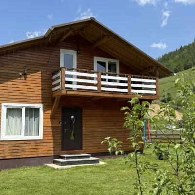 CottageDida's EstateVolova7.4 km from Mount Lysyna KosmatskaA modern cottage in the Carpathians for your vacation Located 890 m above sea level in the colorful Hutsul village of VolovaNearby: Polonyna Dil 2.5 kmMt Rotilo 3.1 km6 trails
 HotelKosmatska PysankaKosiv7.6 km from Mount Lysyna KosmatskaBBQParkingWi‑FiNearby: Oleksa Dovbush Museum 600 mRushirsky waterfall 6.1 km5 trailsfrom 660 UAH per night
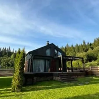 HotelRiver flowVorokhta10 km from Mount Lysyna KosmatskaHot tubPoolJacuzziNearby: Polonyna Borsuchyna 4.4 kmMt Kukul 6.6 km3 trailsfrom 6 500 UAH per night
 CottageSvoboda Smart HotelMykulychyn10 km from Mount Lysyna KosmatskaBBQParkingWi‑FiNearby: Mt Lisniv 3.8 kmTrinity Church 4.3 km14 trailsfrom 6 600 UAH per night
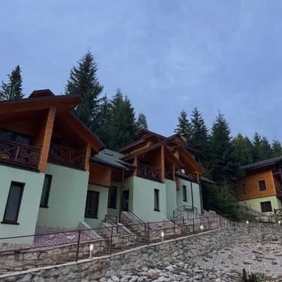 HotelKarpasoleTatariv10 km from Mount Lysyna KosmatskaSaunaBBQParkingNearby: Mt Magura 3.3 kmAustrian viaduct bridge 4.6 km19 trailsfrom 3 000 UAH per night
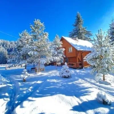 HotelUrochyshche LuhVorokhta10 km from Mount Lysyna KosmatskaBBQParkingWi‑FiNearby: Polonyna Borsuchyna 4.4 kmMt Kukul 6.9 km11 trailsfrom 1 800 UAH per night
Trails nearby
All trails HardMulti-dayVerkhovyna to Yaremchevia Mount Bila Kobyla, Mount Makovytsia +1Elevation profile506–1 477 m63.8 kmascent 2 123 munder 1 km from Mount Lysyna Kosmatska
 HardTwo-dayKosmach village to Bukovets villagevia Mount Rotylo, Mount Hrehit +1Elevation profile615–1 474 m40.2 kmascent 2 290 m≈ 14 h walkingunder 1 km from Mount Lysyna Kosmatska
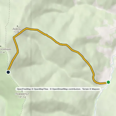 EasyOne-dayMarkedTo Mount PozheratulElevation profile788–1 447 m6.2 kmascent 720 m≈ 3 h walkingunder 1 km from Mount Lysyna Kosmatska
Nearby attractions
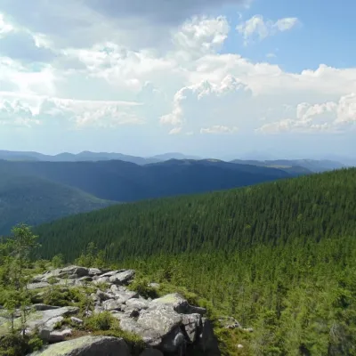 NatureKosmatska's bald headKosmachunder 1 km from Mount Lysyna KosmatskaThe name of the mountain - Lysyna Kosmatska - is partially confirmed by its appearance, because the slope of the mountain is covered with stone placers, huge slab...
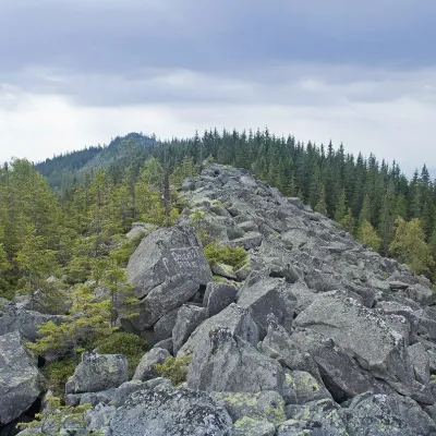 PeakMount KhordeTatarivaltitude 1 479 m · Pokuttia-Bukovyna Carpathians range3.6 km from Mount Lysyna Kosmatska6 trails to the topMount Khorde is a 1479-meter peak of the Ukrainian Carpathians, which is located within the Pokutsko-Bukovyna Carpathians.
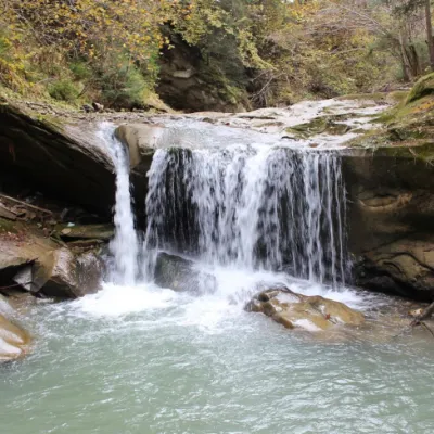 WaterfallShepitsky Hook Small waterfallPokuttia-Bukovina Carpathians9.8 km from Mount Lysyna Kosmatska713 m above sea levelShepitskyi Huk Malyi is a waterfall in the Ukrainian Carpathians (Pokutsko-Bukovyna Carpathians). It is located within the Kosiv district of Ivano-Frankivsk region,...
Craft nearby
All craft places Markets & fairsSouvenir Bazaar by the Ski Jumps, VorokhtaVorokhta12 km from Mount Lysyna KosmatskaThe souvenir bazaar in Vorokhta is one of the busiest little trading spots in the mountain Hutsul region.
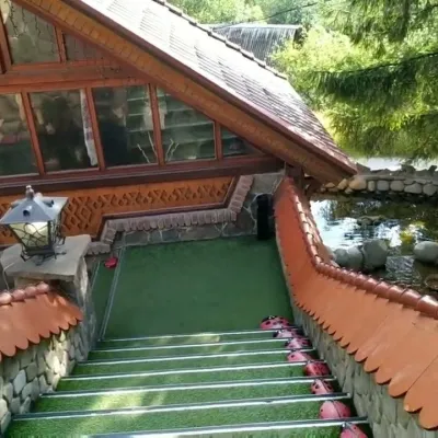 Koliby & Hutsul cuisineStara Vorokhta Restaurant, VorokhtaVorokhta13 km from Mount Lysyna KosmatskaStara Vorokhta restaurant ("Old Vorokhta") is one of the best-known places for Hutsul food in Vorokhta: on Google Maps it is rated 4.6 from more than 6,300 reviews, a...
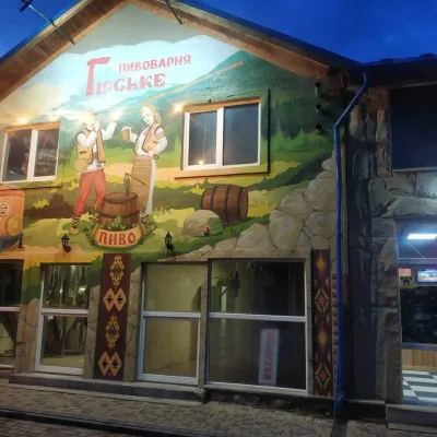 Craft beer & breweriesHirske Brewery, MykulychynMykulychyn14 km from Mount Lysyna KosmatskaThe Hirske brewery is a small artisan brewery in Mykulychyn, on the edge of the village towards Tatariv.
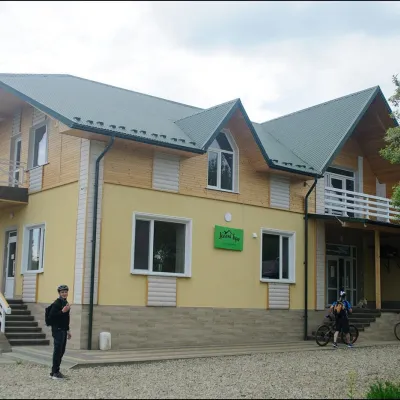 Cheese dairies & pasturesDaleki Hory Cheese Dairy, SnidavkaSnidavka14 km from Mount Lysyna KosmatskaDaleki Hory (“Distant Mountains”) is one of the highest craft cheese dairies in Ukraine. It stands in the mountain village of Snidavka in the Kosiv area, about 940...
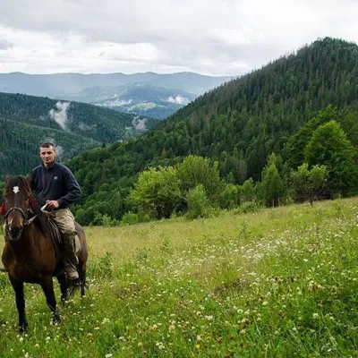 Horse ridingHorse Riding, MykulychynMykulychyn14 km from Mount Lysyna KosmatskaHorse riding in Mykulychyn is a riding service in one of the most popular villages near Yaremche. The owners keep hardy mountain horses and take guests along forest...
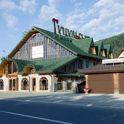 Craft beer & breweriesHutsulske Brewery, MykulychynMykulychyn15 km from Mount Lysyna KosmatskaThe Hutsulske brewery in Mykulychyn is one of the oldest private breweries in the Carpathians, brewing beer for more than twenty years right on the road between...
