Urochyshche Luh
What to see nearby
The best within 10 km, as the crow flies
 Church of the Nativity of the Virgin Mary XVII-XVIIIChurch · 3.0 km
 Museum of History and Local LoreMuseum · 4.1 km
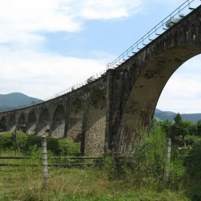 Austrian viaduct bridgeArchitecture · 4.2 km
 Polonyna BorsuchynaMountain meadow · 4.4 km
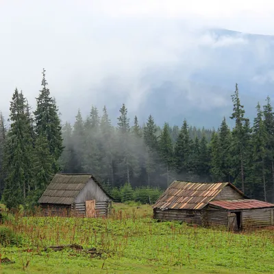 Polonyna KukulMountain meadow · 6.7 km
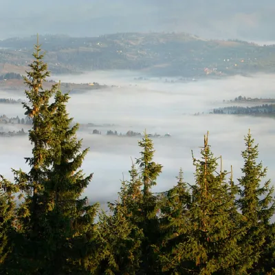 Mount KukulPeak · 6.9 km
Trails starting within 5 km: 11
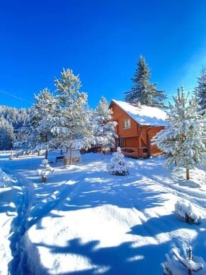
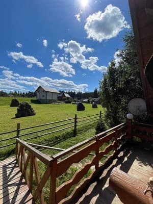
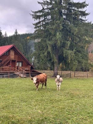
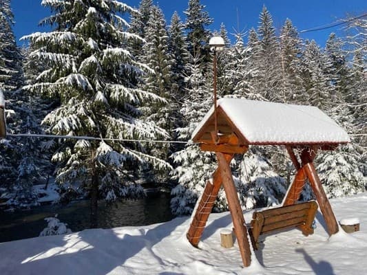
The private homestead "Urochyshche Luh" is located in the middle of the forest and by the river, on the outskirts of the village of Vorokhta. Guests are offered 4 rooms for double, triple, and quadruple accommodation, equipped with everything necessary for a comfortable stay: comfortable beds with bed linen, heating, a balcony, a work desk, and access to Wi-Fi. Each room has its own bathroom, which is equipped with a shower, sink, toilet, towels, and toiletries. The shared kitchen is equipped with a cooking surface, refrigerator, electric kettle, microwave, dishes, and a dining area. Accommodation with pets is possible upon prior agreement and for an additional fee. There is street parking on the premises. Nearby, there is a hut, a trout farm, a beach, and legendary tourist routes of the Carpathians. The distance from the private homestead "Urochyshche Luh" to the center of the village is 4 km, to the railway station - 2.4 km, to Mount Hoverla - 19 km.
Additional places are not provided.
The private homestead can be reached by public transport, by your own car, or by using transfer services.
The homestead has a shared kitchen with all necessary dishes and utensils for self-cooking. 200 meters away is a trout farm where you can catch mountain river trout yourself and order its preparation. And if you want to have lunch in a restaurant, only 600 meters from the homestead is the restaurant "Kolyba", which serves national Hutsul dishes in a modern interpretation.
Location on the map
Reviews
Nearby attractions
 Mountain meadowPolonyna LabieskaVorokhtaaltitude 1 410 m · Kukul range6.2 km from Urochyshche LuhPolonyna Labieska (also spelled Labeska) lies on the northern slopes of the Kukul ridge, between Mount Kukul (1539 m) and Mount Kychera above Vorokhta, in Nadvirna...
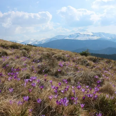 Mountain meadowPolonyna ZakukulVorokhtaaltitude 1 430 m7 km from Urochyshche LuhPolonyna Zakukul lies on the south-eastern slope of Mount Kukul (1539 m), the highest summit of the ridge of the same name that runs north of the main Chornohora ridge.
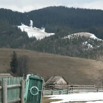 NatureKryvopillia Pass, KryvopilliaKryvopillia7.8 km from Urochyshche LuhKryvopillia Pass is one of the most difficult passes in the Ukrainian Carpathians. It is located within the Verkhovyna-Putyla lowlands (in its northwestern part), on...
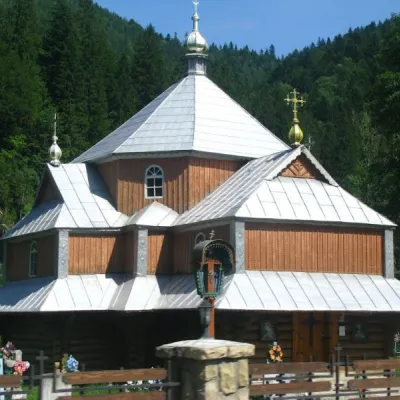 ChurchChurch of St. Demetrius of Thessaloniki, TatarivTatariv9 km from Urochyshche LuhDemetrius of Thessalonica in the small village of Tatariv was built in 1870. The church was erected in honor of the righteous great martyr Dmytro Slutsky.
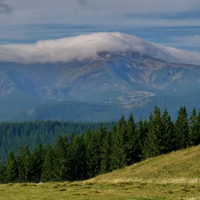 NatureKostrich RidgeKryvopillia9.6 km from Urochyshche LuhThe ridge is located in the Verkhovyna district and is a well-known tourist attraction in the Carpathians.
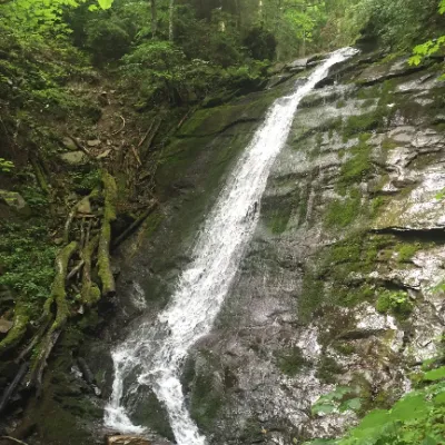 WaterfallNarinetskyi waterfall, MykulychynMykulychyn14 km from Urochyshche LuhNarinetskyi Waterfall is a waterfall in the Ukrainian Carpathians, on the Noretskyi Stream (a left tributary of the Zhenets River).
Craft nearby
All craft places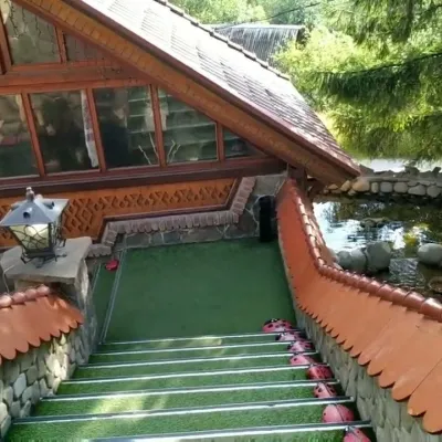 Koliby & Hutsul cuisineStara Vorokhta Restaurant, VorokhtaVorokhta4 km from Urochyshche LuhStara Vorokhta restaurant ("Old Vorokhta") is one of the best-known places for Hutsul food in Vorokhta: on Google Maps it is rated 4.6 from more than 6,300 reviews, a...
 Markets & fairsSouvenir Bazaar by the Ski Jumps, VorokhtaVorokhta4.3 km from Urochyshche LuhThe souvenir bazaar in Vorokhta is one of the busiest little trading spots in the mountain Hutsul region.
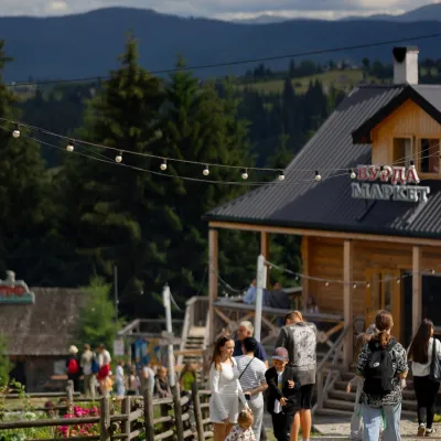 Mountain meadowPolonyna Pertsi Ethno Park, YablunytsiaYablunytsiaaltitude 940 m · Kukul range12 km from Urochyshche LuhPolonyna Pertsi (“Pepper Meadow”) is an ethno park of Hutsul traditions in Yablunytsia, close to the Yablunytsia Pass.
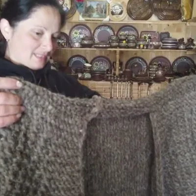 Markets & fairsSouvenir Market on the Yablunytsia Pass, YablunytsiaYablunytsia12 km from Urochyshche LuhThe souvenir market on the Yablunytsia Pass is one of the best-known roadside bazaars in the Carpathians.
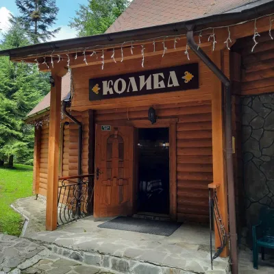 Koliby & Hutsul cuisineKoliba “Dykyi Med”, TatarivTatariv13 km from Urochyshche LuhThe Dykyi Med (“Wild Honey”) kolyba is the heart of a private estate of the same name in the Zhenets area of Tatariv, in a valley the locals call the Honey Valley.
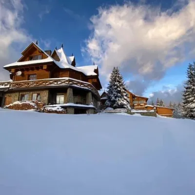 Koliby & Hutsul cuisineVysokyi Pereval Koliba, YablunytsiaYablunytsia13 km from Urochyshche LuhVysokyi Pereval Koliba ("High Pass") stands in Yablunytsia, on the new road to Bukovel, in the Horishkiv area.
Peaks nearby
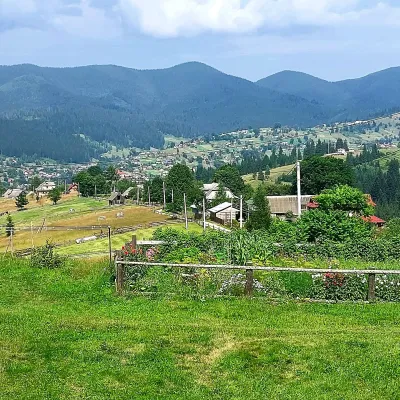 PeakMount OseredokVorokhtaaltitude 915 m · Chornohora range4.2 km from Urochyshche Luh1 trail to the topOseredok is a modest 915 m summit right above Vorokhta (about 2 km), north of the Chornohora range, in Ivano-Frankivsk Oblast.
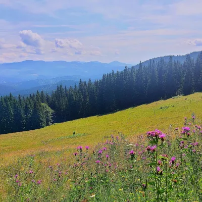 PeakMount Kychera (Vorokhta)Vorokhtaaltitude 1 225 m · Chornohora range4.4 km from Urochyshche LuhKychera is a 1,225 m summit north of the Chornohora range, in Ivano-Frankivsk Oblast. It lies between Vorokhta (about 4.5 km) and Mount Kukul (1,539 m), about 3.2 km...
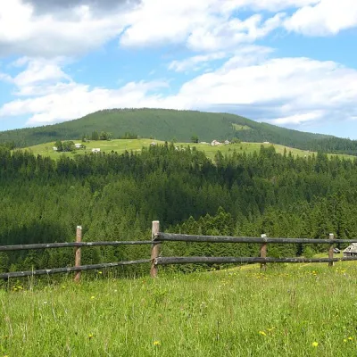 PeakMount Magura, TatarivTatarivaltitude 1 288 m · Gorgany range7.2 km from Urochyshche LuhMagura (1288 m) is a forested ridge in the Gorgany range between Tatariv, Yablunytsia and Vorokhta, within the Carpathian National Nature Park.
Trails nearby
All trails HardMulti-dayVorokhta to Lake Brebeneskulvia Mount Shpytsi, Mount RebraElevation profile748–2 001 m28.3 kmascent 1 280 m≈ 9.5 h walkingunder 1 km from Urochyshche Luh
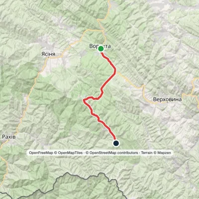 HardMulti-dayVorokhta to Mount Pip Ivan Chornohirskyivia Zaroslyak base, Mount Hoverla +2Elevation profile746–2 061 m42.2 kmascent 2 222 munder 1 km from Urochyshche Luh
 HardMulti-dayYasinia to Vorokhtavia Mount Petros, Mount Hoverla +2Elevation profile655–2 061 m60.3 kmascent 2 233 munder 1 km from Urochyshche Luh
