Belianske Tatras
Belianske Tatry
The Belianske Tatras are a limestone ridge at the eastern end of the Tatras on the Slovak side. Most of the ridge is a strict nature reserve; only a short seasonal route over the Kopské and Široké sedlo is open, plus the Belianska Cave.
- Elevation
- 721–2,152 m
- Highest summit
- Havran, 2,152 m
- Area
- ≈ 91 km²
- Countries
- Slovakia
- Part of
- Tatras
On the map
Waymarked trails
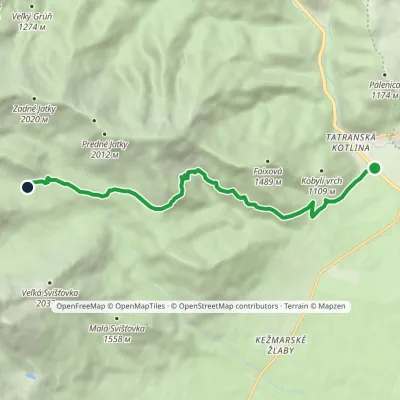 ModerateOne-dayMarkedTatranská Kotlina, Čárda Veľké Biele TarnElevation profile763–1 623 m9.4 kmascent 887 m≈ 4 h walking
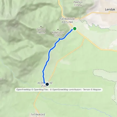 EasyOne-dayMarkedKežmarské Žľaby Tatranská KotlinaElevation profile763–928 m4.6 kmascent 174 m≈ 1.5 h walking
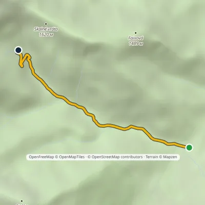 EasyOne-dayMarkedČierna Voda, junction Plesnivec HutElevation profile906–1 306 m2.9 kmascent 383 m≈ 1.5 h walking
What to see
 Historic siteŽdiar — Goral village below the Belianske Tatras🇸🇰 SlovakiaŽdiar is a Goral village in the valley between the Belianske Tatras and the Spišská Magura hills, about 34 km from...
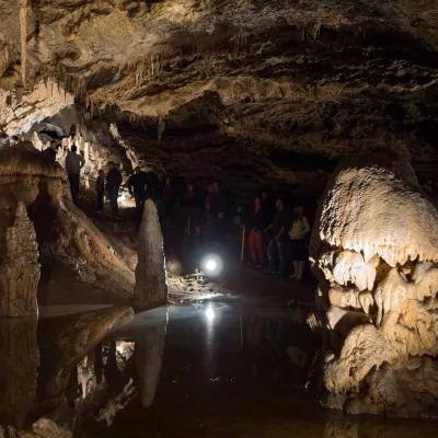 NatureBelianska Cave🇸🇰 SlovakiaBelianska Cave (Belianska jaskyňa) is the only show cave in the High Tatras and one of the most visited in Slovakia.
© EEA (CC BY 4.0) · GMBA Mountain Inventory v2 (CC BY 4.0) · © OpenStreetMap contributors (ODbL)
