Western Carpathians
Západné Karpaty · Karpaty Zachodnie
The Western Carpathians cover Slovakia, southern Poland, eastern Czechia and northern Hungary. They hold the highest part of the whole arc: the granite Tatras with their glacial lakes, the limestone Pieniny and Greater Fatra, and the forested Beskids with a dense network of waymarked trails and well-run mountain huts.
- Elevation
- 100–2,655 m
- Highest summit
- Gerlachovský štít, 2,655 m
- Area
- ≈ 28,263 km²
- Countries
- Slovakia, Poland, Czechia, Hungary, Austria
Ranges and massifs
On the map
Waymarked trails · 100
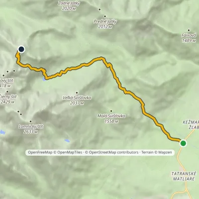 ModerateOne-dayMarkedBiela voda, car park Jahňací štítElevation profile917–2 163 m10.1 kmascent 1 237 m≈ 5 h walking
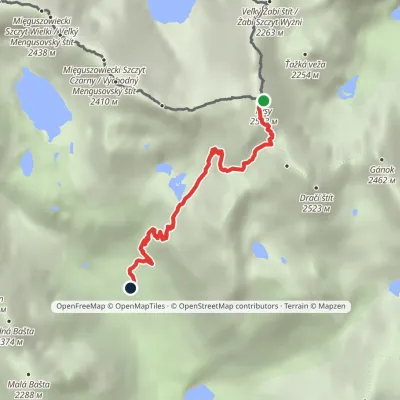 EasyOne-dayMarkedJunction at Žabí potok RysyElevation profile1 626–2 466 m4.3 km≈ 1 h walking
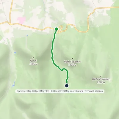 EasyOne-dayMarkedJaszczurówka Olczyska MeadowElevation profile898–1 048 m2 kmascent 137 m≈ 45 min walking
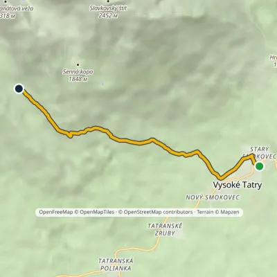 EasyOne-dayMarkedStarý Smokovec, TEŽ station Velická PoľanaElevation profile996–1 570 m5.6 kmascent 566 m≈ 2.5 h walking
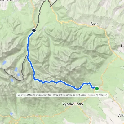 HardMulti-dayMarkedTatranská Lomnica Lysá PoľanaElevation profile853–2 268 m27.3 kmascent 1 400 m≈ 9.5 h walking
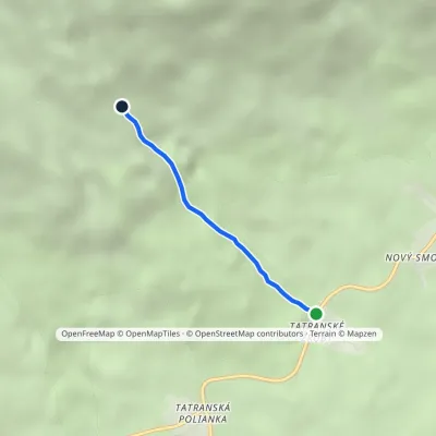 EasyOne-dayMarkedTatranské zruby Junction above ZrubyElevation profile1 006–1 394 m2.3 kmascent 368 m≈ 1.5 h walking
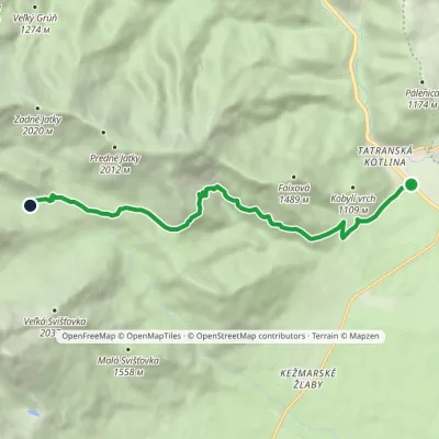 ModerateOne-dayMarkedTatranská Kotlina, Čárda Veľké Biele TarnElevation profile763–1 623 m9.4 kmascent 887 m≈ 4 h walking
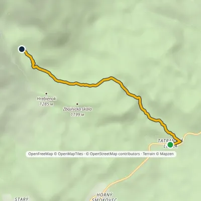 EasyOne-dayMarkedTatranská Lesná Waterfalls of Studený StreamElevation profile922–1 237 m3.9 kmascent 311 m≈ 1.5 h walking
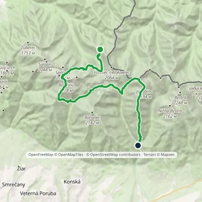 HardMulti-dayMarkedSedlo Zábrať Junction of Jamnická and Račková ValleysElevation profile962–2 176 m26.6 kmascent 2 450 m≈ 11.5 h walking
Peaks · 24
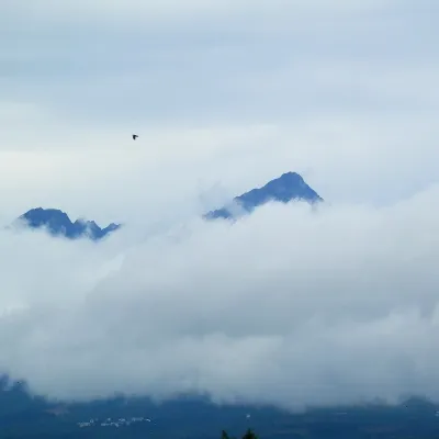 PeakGerlachovský štít🇸🇰 Slovakiaaltitude 2 655 mGerlachovský štít (colloquially Gerlach; Polish Gerlach, German Gerlsdorfer Spitze) is the highest peak of the High...
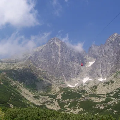 PeakLomnický štít🇸🇰 Slovakiaaltitude 2 634 mLomnický štít (Polish Łomnica, German Lomnitzer Spitze) is one of the highest and most visited peaks of the High Tatras.
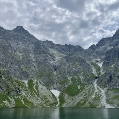 PeakRysy🇵🇱 Polandaltitude 2 501 mRysy (German Meeraugspitze, Hungarian Tengerszem-csúcs) is a mountain on the main ridge of the High Tatras, on the...
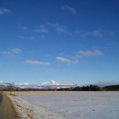 PeakKriváň🇸🇰 Slovakiaaltitude 2 495 mKriváň (Polish Krywań) is a 2495 m peak (precisely 2494.7 m) in the south-western part of the High Tatras in Slovakia.
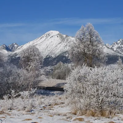 PeakSlavkovský štít🇸🇰 Slovakiaaltitude 2 452 mSlavkovský štít (Polish Sławkowski Szczyt, German Schlagendorfer Spitze) is a broad, massive peak 2452 m high in the...
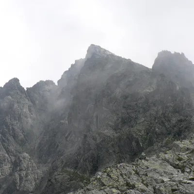 PeakVýchodná Vysoká🇸🇰 Slovakiaaltitude 2 429 mVýchodná Vysoká ("Eastern High One"; Polish Mała Wysoka) is a pyramid-shaped peak 2429 m high (more precisely 2428.6...
What to see · 58
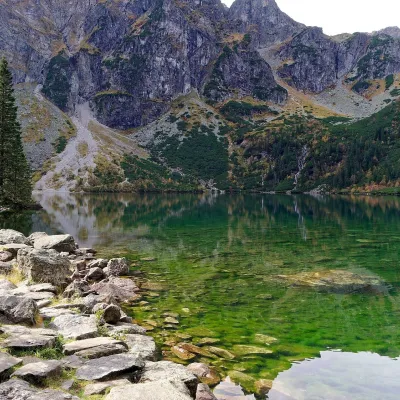 LakeMorskie Oko🇵🇱 PolandMorskie Oko (“Eye of the Sea”) is a glacial lake in the Rybi Potok Valley at 1,395 m, at the foot of the...
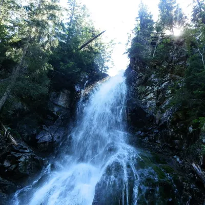 WaterfallRoháčsky Waterfall🇸🇰 SlovakiaRoháčsky waterfall (Roháčsky vodopád) is the best-known waterfall of the Western Tatras, in the Roháče massif about...
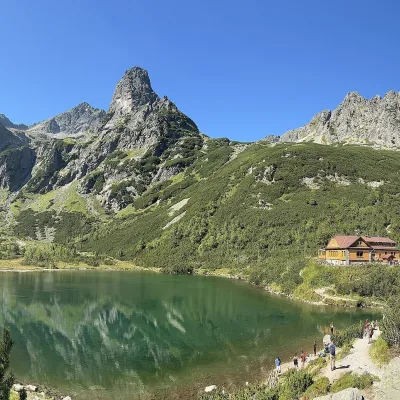 LakeZelené pleso (Kežmarské)🇸🇰 SlovakiaZelené pleso, often called Kežmarské Zelené pleso, is a moraine lake in the Dolina Zeleného plesa valley in the north...
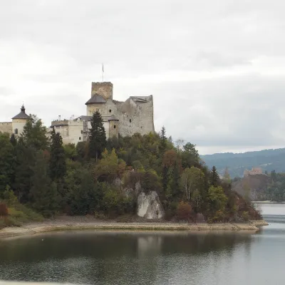 CastleNiedzica Castle (Dunajec Castle)🇵🇱 PolandDunajec Castle in Niedzica is one of the most beautiful castles in Poland.
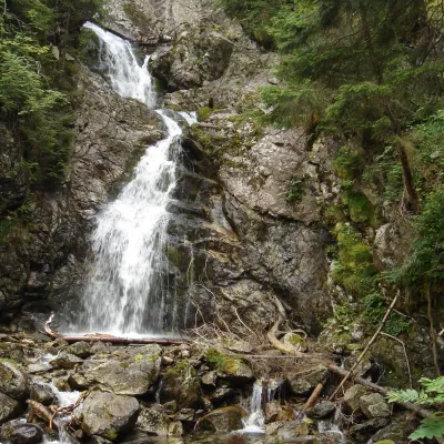 WaterfallKmeťov Waterfall in Kôprová Valley🇸🇰 SlovakiaKmeťov waterfall (Kmeťov vodopád) is a powerful two-step waterfall in the Kôprová dolina valley in the western High...
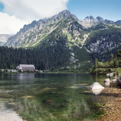 LakePopradské pleso and the Symbolic Cemetery🇸🇰 SlovakiaPopradské pleso is a glacial lake in the Mengusovská valley at 1,494 m, below the cliffs of Ostrva.
Craft and local food · 29
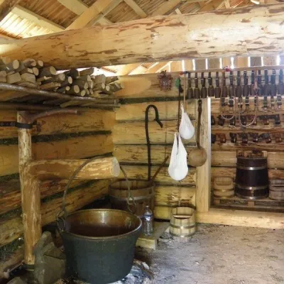 Cheese dairies & pasturesSalaš Krajinka near Ružomberok🇸🇰 SlovakiaSalaš Krajinka is a genuine sheep farm on the edge of Ružomberok in lower Liptov.
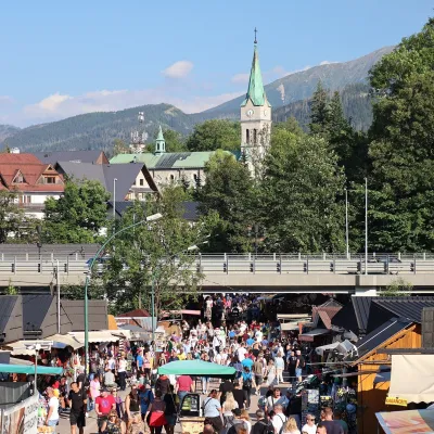 Markets & fairsMarket under Gubałówka🇵🇱 PolandThe market under Gubałówka (Targ pod Gubałówką) is Zakopane's best-known bazaar and probably the most photographed...
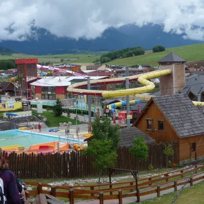 Water parks & thermal poolsAquapark Tatralandia🇸🇰 SlovakiaAquapark Tatralandia is a large year-round water leisure complex near Liptovský Mikuláš, on the northern shore of the...
© EEA (CC BY 4.0) · GMBA Mountain Inventory v2 (CC BY 4.0) · © OpenStreetMap contributors (ODbL)
