Slavkovský štít
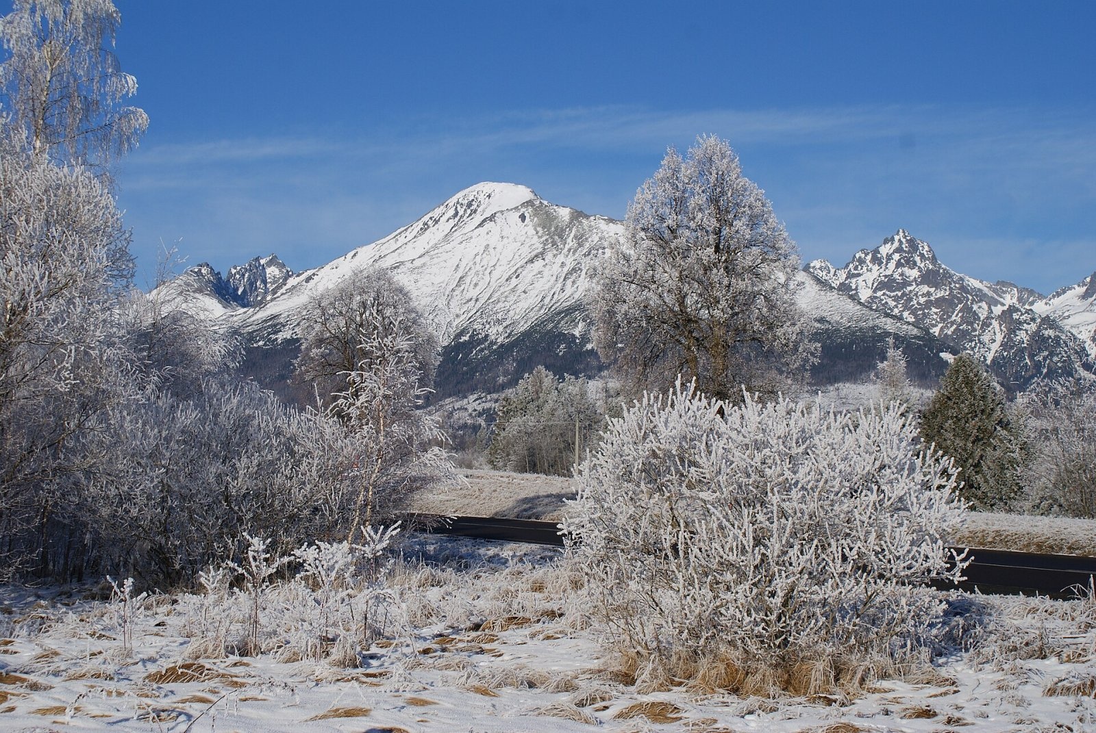
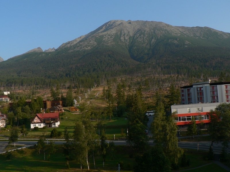
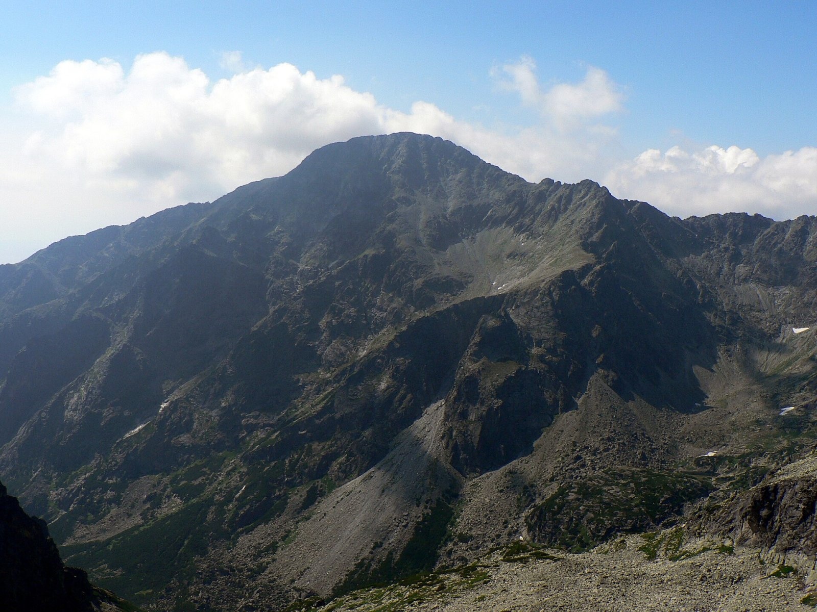
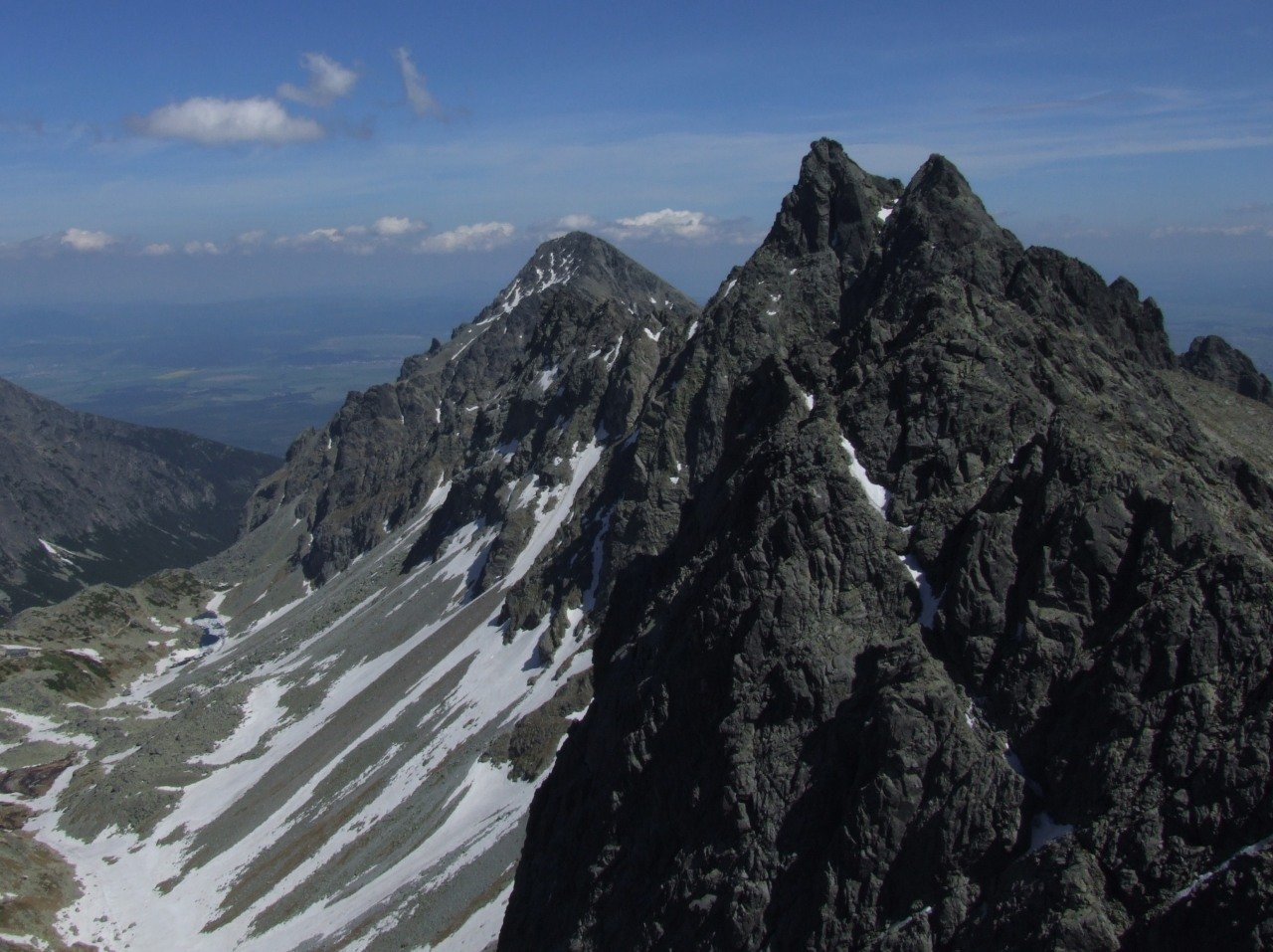
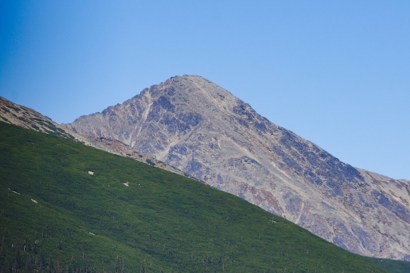
Slavkovský štít (Polish Sławkowski Szczyt, German Schlagendorfer Spitze) is a broad, massive peak 2452 m high in the High Tatras of Slovakia. It ends a mighty side ridge that runs south-east from Východná Vysoká on the main ridge and stands above the resort of Starý Smokovec (about 4 km to the south-east), some 12 km north-west of Poprad. The ridge divides Veľká Studená dolina to the north from Slavkovská dolinka, a branch of Velická dolina, to the south-west. Its north-eastern slopes rise about 950 m above their base.
It is one of the few high Tatra summits that can be climbed on a marked trail without a guide; by height it ranks third after Rysy and Kriváň. The name comes from the municipality of Veľký Slavkov, whose land once included the mountain.
How to get there / routes
- Blue trail from Starý Smokovec. From the Tatra Electric Railway station the trail passes Päť prameňov to the junction below Slavkovský štít on the Tatranská magistrála (about 1 h), then follows the long Slavkovský hrebeň over Slavkovský nos to the summit. Slovak sources give about 5 h 15 min up and 3 h 50 min down; the total height gain is over 1450 m.
- From Hrebienok. A funicular runs up to Hrebienok from Starý Smokovec; from there the red Tatranská magistrála reaches the same junction in 20 min, where the blue trail begins.
The route is of medium technical difficulty but long and tiring; the upper part crosses boulder fields. There are hardly any natural water sources on the way – the last stream is still in the forest – so carry your own water. The path to the summit was built in 1901–1908, largely at his own expense, by Maximilian Weisz; a viewpoint on the edge of the ridge is still called "Maximilianka".
The view from the summit
The rocky top offers a full panorama. Veľká Studená dolina with its many tarns is especially well seen, as are the neighbouring Gerlachovský and Lomnický štít; in good weather you can also see the Sub-Tatra Basin, much of the Low Tatras, Kozie chrbty, the Spiš-Gemer Karst and the Volovské, Slanské and Levočské vrchy. The view south over Spiš, with Spišská Sobota and Kežmarok, was already described by the first climbers.
Nature and history
The mountain is built of granodiorite, and a large block field covers its slopes. In 1813 huge blocks broke off the summit dome and a debris flow poured into Veľká Studená dolina, where its traces remain. A popular legend claims that an earthquake in 1662 cost the summit 200–300 m of height and that it had been the highest in the Tatras until then; research has not confirmed this.
Slavkovský štít is the first named Tatra peak whose ascent is documented in written sources. In July 1664 a group of twelve, including the Veľký Slavkov pastor Georg Topperczer, set out for it; only four reached the top – the cantor Martin Jani, the students Georg Buchholtz (later a well-known Tatra explorer) and Martin Veisser, and a local hunter acting as guide. They spent the night by a fire in the dwarf-pine belt, and a hailstorm caught them on the summit. The second confirmed ascent was by Stanisław Staszic in 1805, the first winter ascent on 15 January 1873 by Eduard Blásy with Ján Gellhof. In the 19th century there were plans for an observatory with a lift from Starý Smokovec, but the project was judged unrealistic. A cross stands on the summit; in 2014 a plaque marking the 350th anniversary of the first ascent was fixed to it.
Safety, season and rules
- The trail lies in the high-mountain zone of the Tatra National Park (TANAP) and is closed from 1 November to 31 May; hiking is allowed only in daylight and only on marked trails. Current restrictions are on the TANAP website.
- Plan for a full day: start early and bring enough water, warm clothes and sun protection. The first recorded fatal accident on the route happened in 1921, when a hiker fell from a rock – take special care in fog, on wet boulders or on snow.
- Rescue: Mountain Rescue Service HZS – 18 300 (+421 18 300), general emergency number 112.
Interesting facts
- The first climbers of 1664 fired a gun on the summit to listen to the echo, and the ascent and descent took them three days.
- In climbers' slang the mountain has long been called "Slavkovák" (Slovak) or "Schlagendorferin" (German).
- Slavkovský štít belongs to the Great Crown of the Tatras.
Photos: PhDr. Pavol Svetoň, CC BY-SA 4.0; Vavrik, Public domain; Krzysztof Dudzik-Górnicki (User:ToSter), CC BY-SA 3.0; Jerzy Opioła, CC BY-SA 4.0; Adrian Tync, CC BY-SA 4.0; Jaro Nemčok, CC BY-SA 4.0; Saalebaer, CC0 — Wikimedia Commons.
Getting there from Ukraine
Border crossings
- Uzhhorod – Vyšné Nemecké — road, 24/7
- Malyi Bereznyi – Ubľa — road, 24/7 For cars and buses; pedestrians not confirmed by the Ukrainian border service, lorries up to 3.5 t.
- Mali Selmentsi – Veľké Slemence (pedestrian) — pedestrian, 09:00–21:00 Kyiv time Pedestrians and cyclists only; inconvenient for the Tatras without onward transport.
- Chop – Čierna nad Tisou (rail) — rail, 24/7
By car
Uzhhorod – Poprad ≈195 km, ≈2 h 55 min without queues: Uzhhorod – Vyšné Nemecké checkpoint → I/19 via Sobrance and Michalovce → Košice → D1 motorway via Prešov → Poprad (Liptovský Mikuláš is ≈56 km further on the D1, total ≈249 km). Košice – Poprad ≈112 km. The D1 requires an e-vignette (eznamka.sk). Note: from Lviv the fastest way to Poprad is through Poland — Krakovets – A4 – Kraków – Zakopane – Łysa Polana ≈468 km (≈5 h 50 min); via Uzhok and Malyi Bereznyi ≈419 km but slower (≈6 h 40 min). Zakopane – Poprad ≈69 km, Zakopane – Liptovský Mikuláš ≈80 km.
Checked 23.10.2026; border crossing hours and timetables change — check before you travel.
Location on the map
Comments
Trails nearby
All trails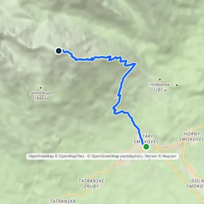 ModerateOne-dayMarkedStarý Smokovec Slavkovský PeakElevation profile996–2 442 m7.3 kmascent 1 429 m≈ 4.5 h walkingunder 1 km from Slavkovský štít
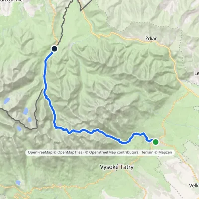 HardMulti-dayMarkedTatranská Lomnica Lysá PoľanaElevation profile853–2 268 m27.3 kmascent 1 400 m≈ 9.5 h walking1.1 km from Slavkovský štít
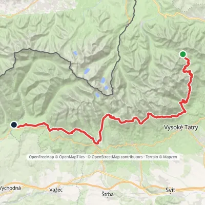 HardMulti-dayMarkedTatranská magistrála (Tatra Highway): Podbanské Veľké Biele plesoElevation profile929–2 043 m50.1 kmascent 1 603 m1.5 km from Slavkovský štít
Nearby attractions
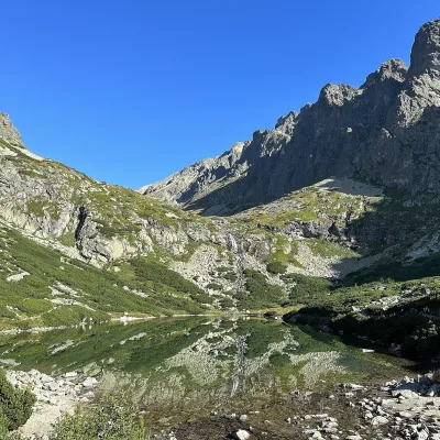 LakeVelické pleso and Sliezsky dom2.3 km from Slavkovský štítVelické pleso is the largest lake of the Velická valley in the High Tatras, at 1,663 m, at the foot of Gerlachovský štít — the highest peak of the Tatras.
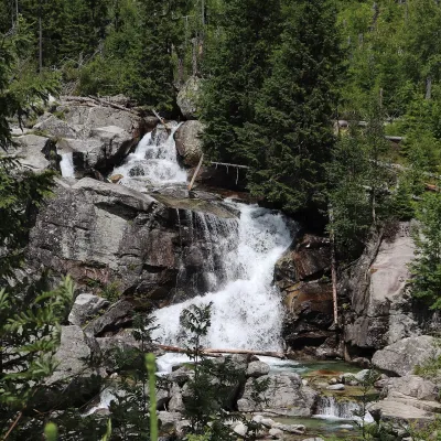 WaterfallStudený potok Waterfalls and Hrebienok2.7 km from Slavkovský štítThe Studený potok waterfalls (Vodopády Studeného potoka), known in Polish literature as the Zimna Woda waterfalls, are one of the oldest tourist attractions of the...
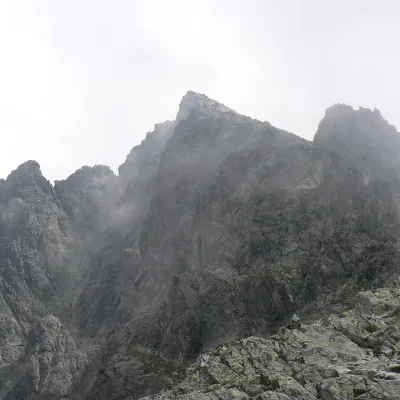 PeakVýchodná Vysokáaltitude 2 429 m3 km from Slavkovský štítVýchodná Vysoká ("Eastern High One"; Polish Mała Wysoka) is a pyramid-shaped peak 2429 m high (more precisely 2428.6 m) on the main ridge of the High Tatras in Slovakia.
Craft nearby
All craft places Cheese dairies & pasturesShepherd's Hut on Rusinowa Polana13 km from Slavkovský štítRusinowa Polana is one of the most beautiful mountain glades in the Polish Tatras, and from May to October it is home to the bacówka (shepherd's hut) of baca Stanisław...
 Water parks & thermal poolsAquaCity Poprad water park15 km from Slavkovský štítAquaCity Poprad is a large year-round water park and wellness complex in the town of Poprad, a few minutes from the centre; according to the complex, the High Tatras...
 Craft beer & breweriesMinipivovar TATRAS, Poprad15 km from Slavkovský štítMinipivovar TATRAS is a brewpub on Poprad’s main square, Námestie sv. Egídia, housed in a building with a long brewing history.
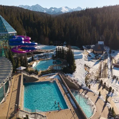 Water parks & thermal poolsTermy Bukovina19 km from Slavkovský štítTermy Bukovina is a modern thermal pool complex in Bukowina Tatrzańska, a village lying about a thousand metres above sea level on the edge of the Tatra National Park.
 Cheese dairies & pasturesFurtek's Shepherd's Huts, Kuźnice and Kalatówki19 km from Slavkovský štítAbove Kuźnice — the southern edge of Zakopane where most hikes into the Western and High Tatras begin — the flocks are tended by baca Andrzej Staszel, nicknamed "Furtek".
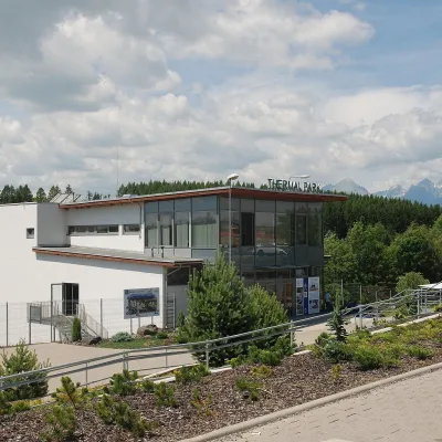 Water parks & thermal poolsThermal Park Vrbov20 km from Slavkovský štítThermal Park Vrbov is one of the best-known thermal baths in the Spiš region, on the southern edge of the village of Vrbov, about 6 km (as the crow flies) from...
