Východná Vysoká
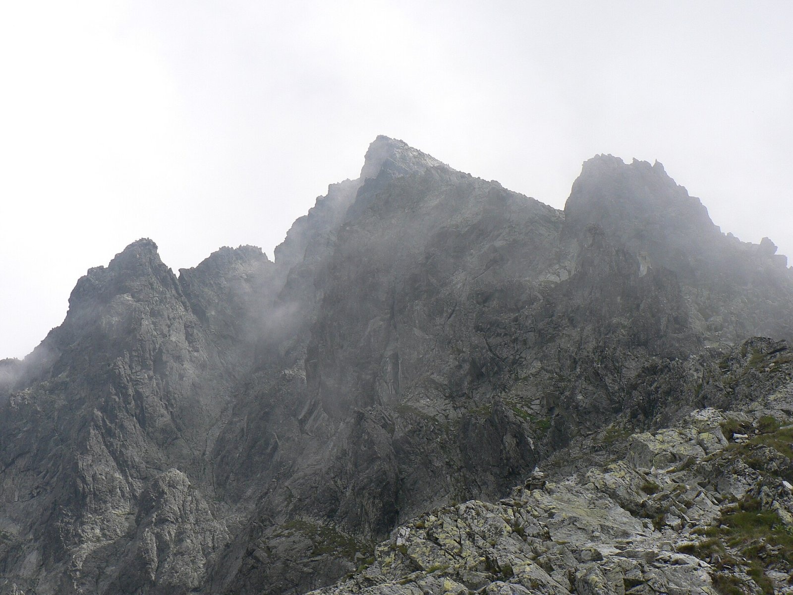
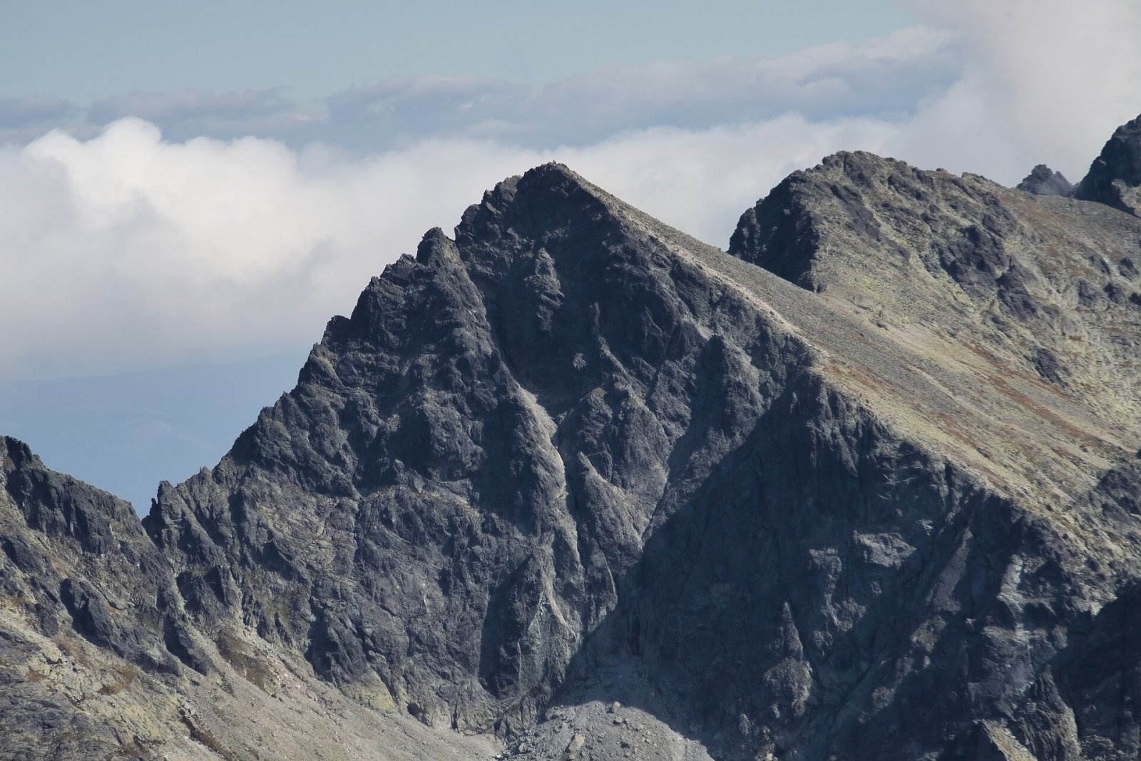
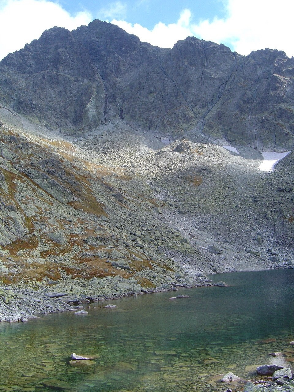
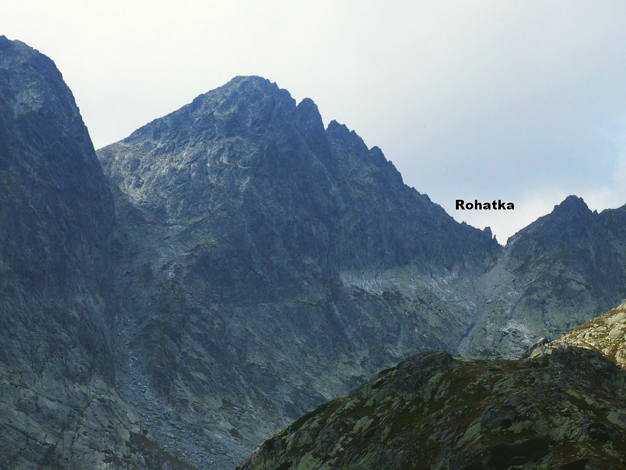
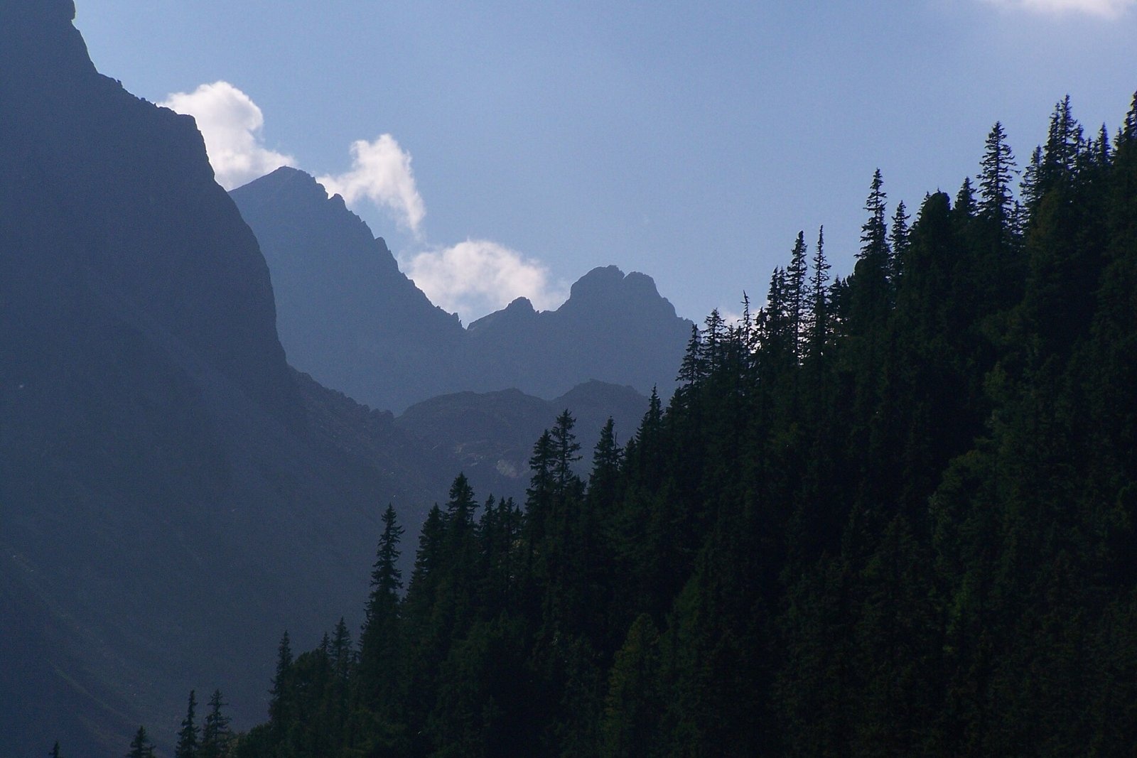
Východná Vysoká ("Eastern High One"; Polish Mała Wysoka) is a pyramid-shaped peak 2429 m high (more precisely 2428.6 m) on the main ridge of the High Tatras in Slovakia. It stands above Nová Polianka, about 15 km north-west of Poprad; the Zbojnícka chata hut lies to the east and the Sliezsky dom mountain hotel to the south. It is a junction peak: here the main ridge, coming from the Poľský hrebeň saddle, turns north to the Prielom notch, while a mighty side ridge runs south-east over Bradavica to Slavkovský štít.
Three large valleys meet below the summit: Velická dolina to the south, into which the mountain descends in gentle scree slopes, and Veľká Studená dolina to the east and Svišťová dolina (part of Bielovodská dolina) to the north-west, above which it drops in steep walls. "Vysoká" (high) in the name refers to the excellent view rather than to record height, and "Východná" (eastern) distinguishes it from the higher Vysoká to the west. The Polish and former Slovak name "Little Vysoká" dates from the 1870s.
How to get there / routes
Východná Vysoká is one of the few High Tatra peaks reached by a marked trail, so no guide is needed.
- Yellow trail from the Poľský hrebeň saddle (2200 m) along the main ridge to the summit; the hardest passages are protected by chains. About 1 h up and about 35 min down.
- From the south (green) – the trail from Tatranská Polianka past Sliezsky dom through Velická dolina to Poľský hrebeň.
- From the north (blue) – from Lysá Poľana through Bielovodská and Litvorová dolina. This is the longest and, according to Czech guides, the most beautiful approach: Bielovodská is the longest valley on the northern side of the Tatras, and the walk to the summit takes 6–7 h on average.
- From the east (blue) – from Veľká Studená dolina past Zbojnícka chata over the Prielom notch, with a descent to Hrebienok.
Most people set off from Starý Smokovec, Tatranská Polianka or Lysá Poľana. The path from Poľský hrebeň to the summit was built in 1892–1893 as an extension of the so-called Silesian path.
The view from the summit
The panorama from Východná Vysoká is considered one of the finest and most complete in the High Tatras. Right opposite rises the broad massif of Gerlachovský štít; you can also see Vysoká and Rysy, Svišťový štít, the group of Ľadový, Pyšný and Lomnický štít, the sharp ridge of Bradavica with Slavkovský štít, and in the distance the Belianske Tatras. Three valleys – Bielovodská, Velická and Veľká Studená – lie at your feet. In clear weather the view reaches the Orava Beskids, the Levoča Hills, Branisko, the Volovské and Stolické vrchy, Kráľova hoľa and the mountains of southern Poland and northern Hungary. A panorama plate on the summit names the peaks.
Nature and history
The boundaries of three TANAP national nature reserves – Bielovodská dolina, Velická dolina and Studené doliny – meet on the summit. The north-western walls fall to Zamrznutý kotol with the Zamrznuté pleso tarn, from where the water drains to the Dunajec; the Velická and Veľká Studená valleys drain to the Poprad river.
The first people on top were most likely poachers, herb gatherers or treasure hunters – the nearby Poľský hrebeň saddle was once a smugglers' route. The first documented ascent is attributed to the Hungarian physician László Jármay (1888), after whom the peak was proposed to be named Jármay Peak; the name never caught on. The first winter ascent was made on 22 March 1910 by Hermann and Otto Schweickhart and János Vigyázó. In the 1930s a three-metre iron cross was planned for the summit, but the idea was dropped after protests by hikers and conservationists on both sides of the border.
Safety, season and rules
- The peak lies in the high-mountain zone of the Tatra National Park (TANAP): the trails are closed from 1 November to 31 May, and hiking is allowed only in daylight and only on marked trails. Current restrictions are on the TANAP website.
- The climb from Poľský hrebeň is short, but the whole route is a full day in high mountains. Take care on the chained sections in wet weather, and in summer start early to avoid afternoon thunderstorms.
- Rescue: Mountain Rescue Service HZS – 18 300 (+421 18 300), general emergency number 112.
Interesting facts
- The Polish name Mała Wysoka ("Little High One") is still in use, although Slovaks replaced it with Východná Vysoká back in 1922.
- By height it is the fourth Tatra summit open to hikers, after Rysy, Kriváň and Slavkovský štít.
- As early as 1966 the Slovak author Július Andráši called it one of the most visited peaks of the High Tatras, thanks to its easy access and view over the whole range.
Photos: Krzysztof Dudzik-Górnicki (User:ToSter), CC BY-SA 3.0; Adrian Tync, CC BY-SA 4.0; Kristo, CC BY-SA 3.0; Jerzy Opioła, CC BY-SA 4.0; Jarorox, CC BY 3.0; Paweł Opioła, CC BY-SA 4.0 — Wikimedia Commons.
Getting there from Ukraine
Border crossings
- Uzhhorod – Vyšné Nemecké — road, 24/7
- Malyi Bereznyi – Ubľa — road, 24/7 For cars and buses; pedestrians not confirmed by the Ukrainian border service, lorries up to 3.5 t.
- Mali Selmentsi – Veľké Slemence (pedestrian) — pedestrian, 09:00–21:00 Kyiv time Pedestrians and cyclists only; inconvenient for the Tatras without onward transport.
- Chop – Čierna nad Tisou (rail) — rail, 24/7
By car
Uzhhorod – Poprad ≈195 km, ≈2 h 55 min without queues: Uzhhorod – Vyšné Nemecké checkpoint → I/19 via Sobrance and Michalovce → Košice → D1 motorway via Prešov → Poprad (Liptovský Mikuláš is ≈56 km further on the D1, total ≈249 km). Košice – Poprad ≈112 km. The D1 requires an e-vignette (eznamka.sk). Note: from Lviv the fastest way to Poprad is through Poland — Krakovets – A4 – Kraków – Zakopane – Łysa Polana ≈468 km (≈5 h 50 min); via Uzhok and Malyi Bereznyi ≈419 km but slower (≈6 h 40 min). Zakopane – Poprad ≈69 km, Zakopane – Liptovský Mikuláš ≈80 km.
Checked 23.10.2026; border crossing hours and timetables change — check before you travel.
Location on the map
Comments
Trails nearby
All trails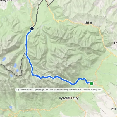 HardMulti-dayMarkedTatranská Lomnica Lysá PoľanaElevation profile853–2 268 m27.3 kmascent 1 400 m≈ 9.5 h walkingunder 1 km from Východná Vysoká
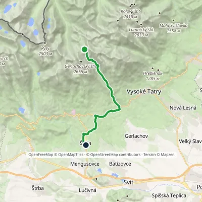 ModerateOne-dayMarkedNižné Hágy Junction below Poľský hrebeňElevation profile849–2 195 m14.6 kmascent 64 m≈ 4 h walkingunder 1 km from Východná Vysoká
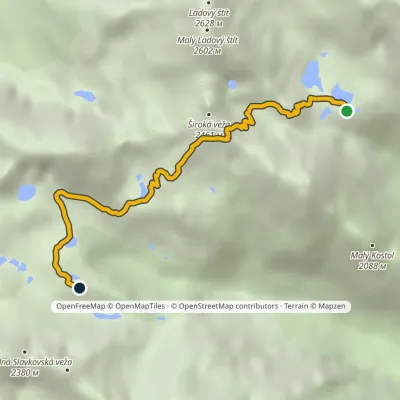 EasyOne-dayMarkedTéryho chata Zbojnícka chataElevation profile1 970–2 260 m4.9 kmascent 242 m≈ 1.5 h walking1.4 km from Východná Vysoká
Nearby attractions
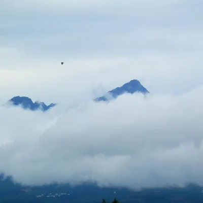 PeakGerlachovský štítaltitude 2 655 m1.5 km from Východná VysokáGerlachovský štít (colloquially Gerlach; Polish Gerlach, German Gerlsdorfer Spitze) is the highest peak of the High Tatras, of Slovakia and of the entire Carpathians.
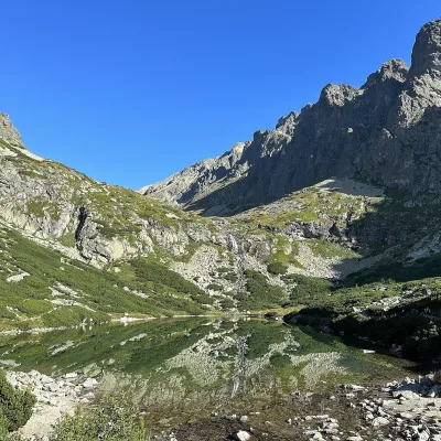 LakeVelické pleso and Sliezsky dom2.1 km from Východná VysokáVelické pleso is the largest lake of the Velická valley in the High Tatras, at 1,663 m, at the foot of Gerlachovský štít — the highest peak of the Tatras.
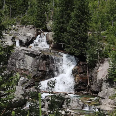 WaterfallStudený potok Waterfalls and Hrebienok5.7 km from Východná VysokáThe Studený potok waterfalls (Vodopády Studeného potoka), known in Polish literature as the Zimna Woda waterfalls, are one of the oldest tourist attractions of the...
Craft nearby
All craft places Cheese dairies & pasturesShepherd's Hut on Rusinowa Polana11 km from Východná VysokáRusinowa Polana is one of the most beautiful mountain glades in the Polish Tatras, and from May to October it is home to the bacówka (shepherd's hut) of baca Stanisław...
 Cheese dairies & pasturesFurtek's Shepherd's Huts, Kuźnice and Kalatówki16 km from Východná VysokáAbove Kuźnice — the southern edge of Zakopane where most hikes into the Western and High Tatras begin — the flocks are tended by baca Andrzej Staszel, nicknamed "Furtek".
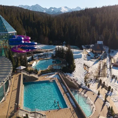 Water parks & thermal poolsTermy Bukovina17 km from Východná VysokáTermy Bukovina is a modern thermal pool complex in Bukowina Tatrzańska, a village lying about a thousand metres above sea level on the edge of the Tatra National Park.
 Water parks & thermal poolsAquaCity Poprad water park17 km from Východná VysokáAquaCity Poprad is a large year-round water park and wellness complex in the town of Poprad, a few minutes from the centre; according to the complex, the High Tatras...
 Craft beer & breweriesMinipivovar TATRAS, Poprad18 km from Východná VysokáMinipivovar TATRAS is a brewpub on Poprad’s main square, Námestie sv. Egídia, housed in a building with a long brewing history.
 Koliby & Hutsul cuisineBąkowo Zohylina Wyźnio Highland Tavern18 km from Východná VysokáBąkowo Zohylina Wyźnio is a regional highland tavern in Zakopane housed in a wooden "szałas" (shepherd-hut-style building) with a view of the Tatras.
