Gerlachovský štít
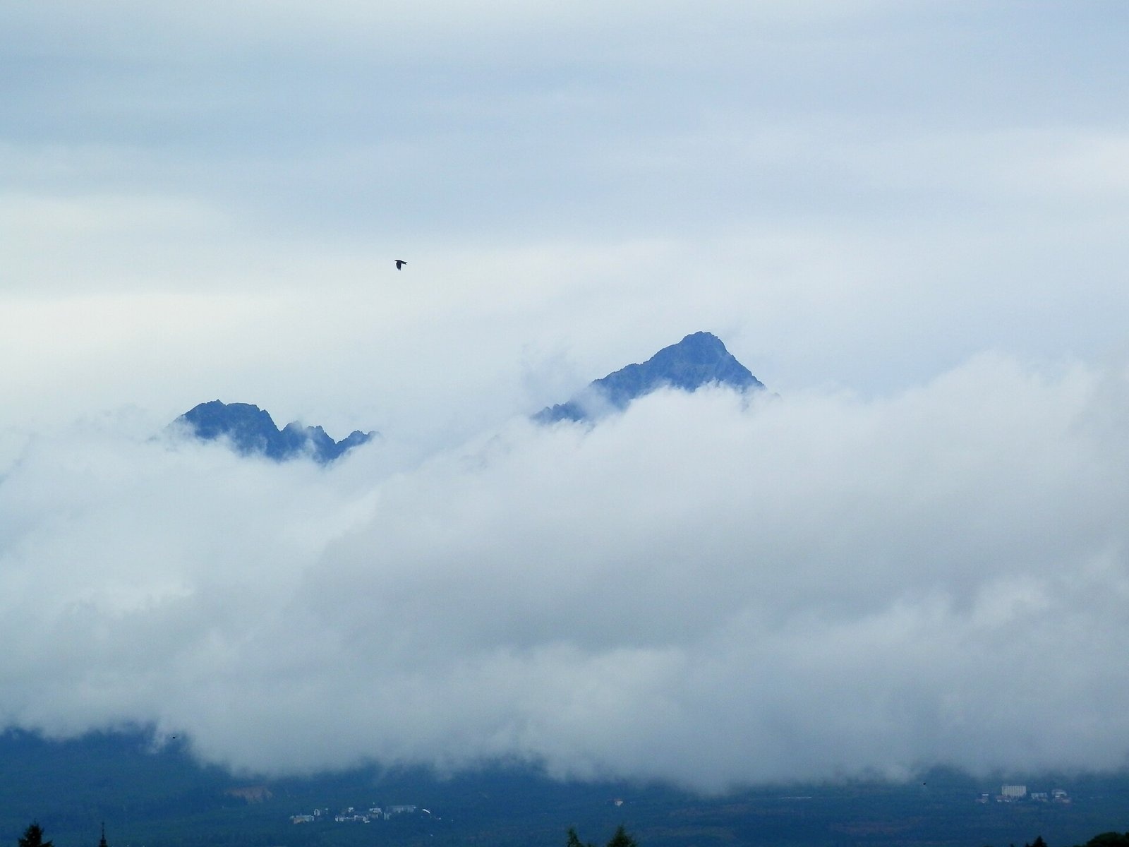
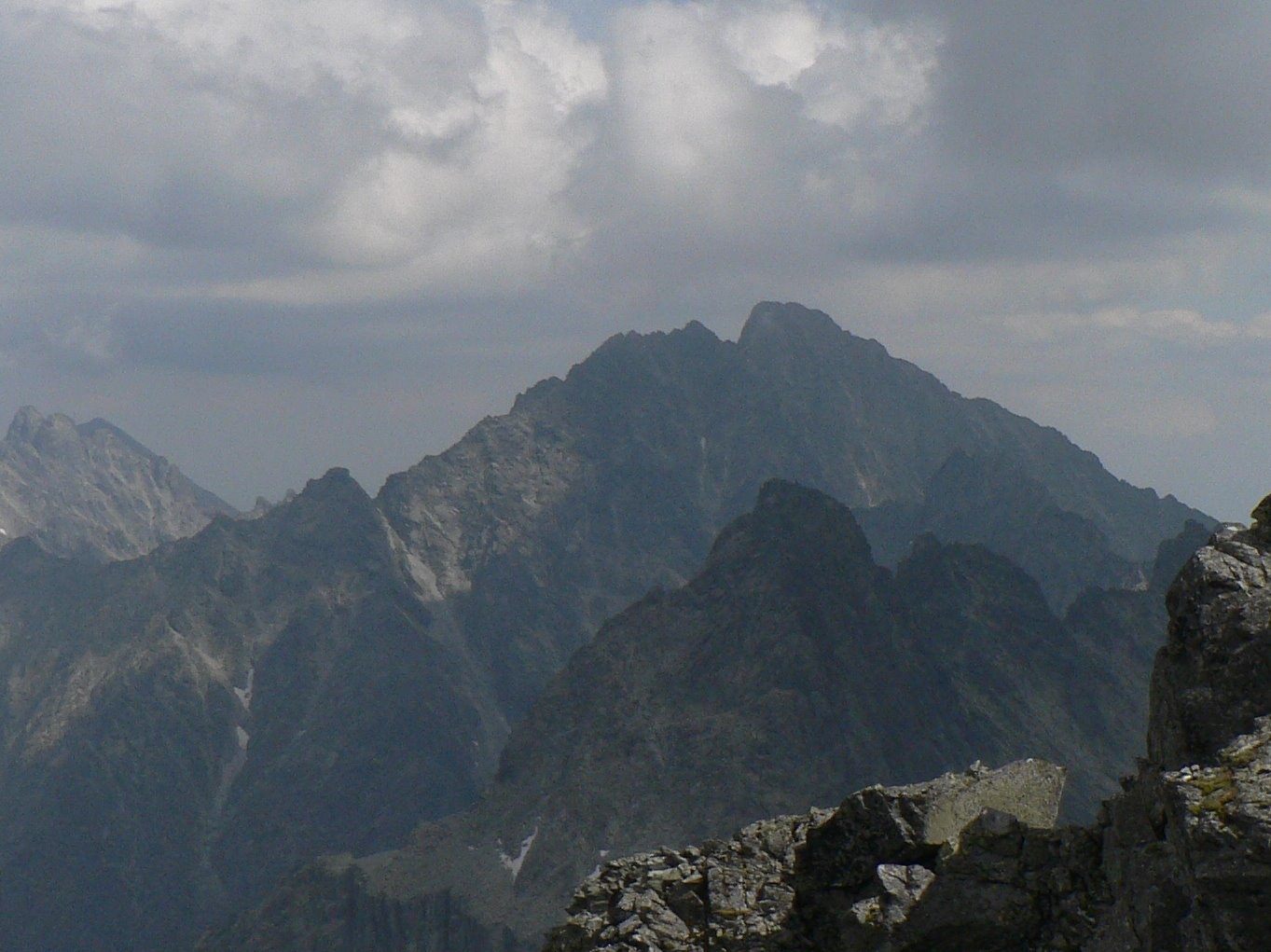
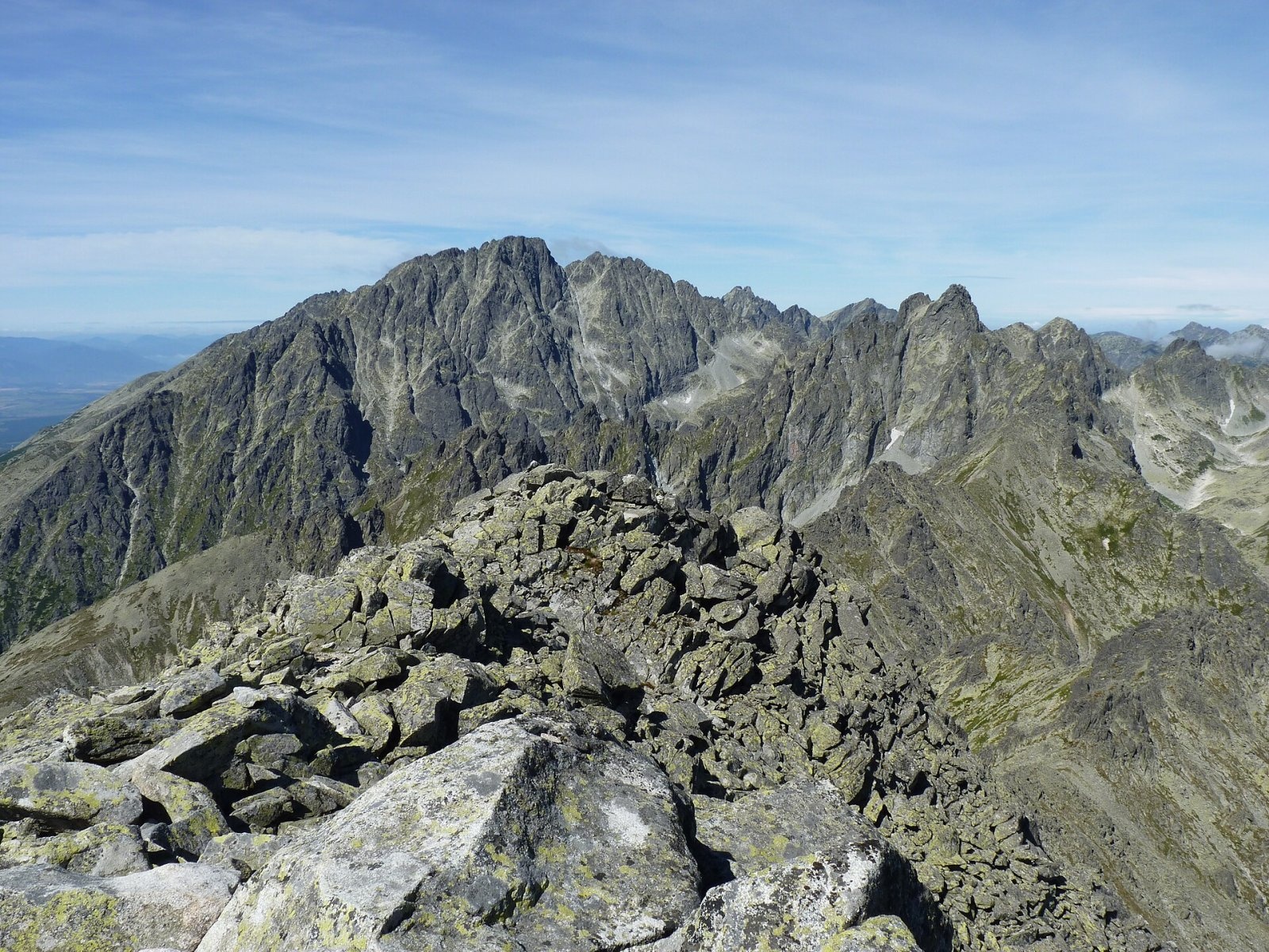
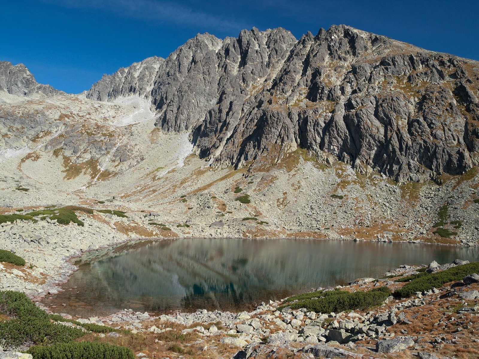
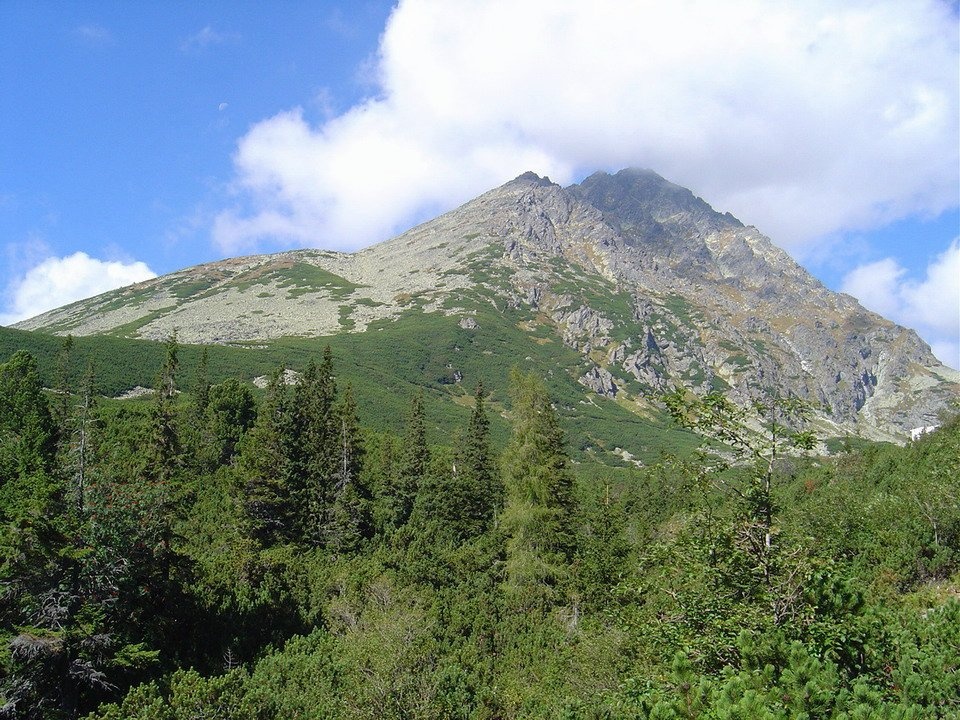
Gerlachovský štít (colloquially Gerlach; Polish Gerlach, German Gerlsdorfer Spitze) is the highest peak of the High Tatras, of Slovakia and of the entire Carpathians. Its height is traditionally given as 2655 m; current measurements give 2654.4 m. The summit does not stand on the main Tatra ridge but on a south-eastern side spur of Zadný Gerlach, from which it is separated by the Gerlachovské sedlo saddle. The massif rises above Velická dolina to the south-west and Batizovská dolina to the north-east and towers some 2000 m above the Sub-Tatra Basin. It lies entirely in Slovakia, within the Tatra National Park; the nearest settlements are Štrbské Pleso (about 6.4 km) and parts of the town of Vysoké Tatry, while the village of Gerlachov, which gave the peak its name, is about 9 km to the south-east.
Gerlach's prominence is about 2355 m and the nearest higher mountain is hundreds of kilometres away, making it one of the most distinctive summits in Central Europe. From the top the ridge continues to Kotlový štít, where it forks and encloses the famous Gerlachovský kotol cirque.
How to get there / routes
No marked hiking trail leads to Gerlachovský štít. Under the Tatra National Park rules you may climb it only with a certified mountain guide or as a registered climber: you must register online in advance, carry a valid card of your national mountaineering federation and proper equipment, and for lower-difficulty climbing also a certificate of basic training. Those who leave the marked trails without meeting these conditions may be fined.
- Velická próba – the most common ascent route from Velická dolina, starting at the Sliezsky dom mountain hotel above Velické pleso. It includes an exposed section.
- Batizovská próba – the route from Batizovská dolina, usually used for the descent.
Both routes have been protected by chains since 1880, yet they rank among the harder scrambles of the High Tatras: without snow, guidebooks grade them roughly II–III on the UIAA scale, and route-finding on the ridge is tricky. The height gain is about 1000 m from Sliezsky dom, or about 1665 m if you walk up from Tatranská Polianka. Harder lines include the Krčmárov žľab gully, the Martin route along the north ridge and long technical climbs on the walls.
The view from the summit
We have not found a detailed sourced description of the panorama, so we stick to what the map shows. As the highest point of the Carpathians, Gerlach looks out in every direction: to the south, almost 2 km lower, lies the Sub-Tatra Basin with Poprad; at its foot are the Velická and Batizovská valleys; around it stand neighbouring High Tatra peaks such as Zadný Gerlach, Kotlový štít, Slavkovský štít, Vysoká and Rysy. Gerlach itself is clearly visible from Poprad, Tatranská Polianka and from the summits of Rysy and Slavkovský štít.
Nature and history
The mountain is built of granite. Despite the harsh climate, 15 species of vascular plants grow near the summit, among them alpine bellflower, frost gentian and least primrose.
The peak is named after the village of Gerlachov, to whose land it once belonged; a charter of 1326 records the village being founded by the sons of Gerlach of Spišská Sobota. The oldest name on a map from the 1760s is Kösselberg, "the mountain with a cauldron". For a long time Kriváň, Lomnický štít or Ľadový štít were considered the highest Tatra peaks; only the forester Ludwig Greiner proved Gerlach's primacy by measurements in 1837–1838, and it was generally accepted in the 1870s.
The first people on the summit were probably the Nová Lesná teacher Johann Still, his brother-in-law Jakob Gellhof, Martin Spitzkopf-Urban and two chamois hunters in 1834; the first reliably documented ascent was by Austrian military surveyors in 1868. The first woman on the top, on 22 August 1883, was the Polish climber Natalia Janotha; the first winter ascent took place on 15 January 1905. The name changed six times: from 1896 it was Francis Joseph Peak, in 1923–1932 Legionnaires' Peak, in 1939–1945 Slovak Peak and in 1949–1959 Stalin Peak. In 1944 a Li-2 aircraft carrying soldiers of the 2nd Czechoslovak Parachute Brigade, flying to support the Slovak National Uprising, crashed on neighbouring Zadný Gerlach; the whole group died and is buried in Gerlachov.
Safety, season and rules
- Leaving the marked trails without a guide is prohibited. The marked high-mountain trails in the area (e.g. to Batizovské pleso or above Sliezsky dom) are closed from 1 November to 31 May, and hiking is allowed only in daylight. The rules for climbers are on the TANAP website.
- The best time is summer and early autumn without snow. A typical summer day brings a clear morning, clouds by noon and afternoon storms; the summit is often in fog, with a real risk of losing your way. In winter this is a demanding alpine climb with avalanche danger.
- Rescue: Mountain Rescue Service HZS – 18 300 (+421 18 300), general emergency number 112.
Interesting facts
- Within less than three decades of the 20th century Gerlach was successively the highest mountain of the Kingdom of Hungary, Czechoslovakia, the Slovak State and Czechoslovakia again.
- In 1896, for Hungary's millennium, a diorite plaque bearing the emperor's name was carried to the summit; it was destroyed in 1919.
- The peak belongs to the Crown of Europe and the Great Crown of the Tatras.
Photos: Ing.Mgr.Jozef Kotulič, CC BY-SA 4.0; Krzysztof Dudzik-Górnicki (User:ToSter), CC BY-SA 4.0; Michal Klajban, CC BY-SA 3.0; Rafik k, CC BY-SA 4.0; Kristo, CC BY-SA 3.0; Pavol Svetoň, CC BY-SA 4.0; Peter Orság (user:Peko), CC BY-SA 3.0 — Wikimedia Commons.
Getting there from Ukraine
Border crossings
- Uzhhorod – Vyšné Nemecké — road, 24/7
- Malyi Bereznyi – Ubľa — road, 24/7 For cars and buses; pedestrians not confirmed by the Ukrainian border service, lorries up to 3.5 t.
- Mali Selmentsi – Veľké Slemence (pedestrian) — pedestrian, 09:00–21:00 Kyiv time Pedestrians and cyclists only; inconvenient for the Tatras without onward transport.
- Chop – Čierna nad Tisou (rail) — rail, 24/7
By car
Uzhhorod – Poprad ≈195 km, ≈2 h 55 min without queues: Uzhhorod – Vyšné Nemecké checkpoint → I/19 via Sobrance and Michalovce → Košice → D1 motorway via Prešov → Poprad (Liptovský Mikuláš is ≈56 km further on the D1, total ≈249 km). Košice – Poprad ≈112 km. The D1 requires an e-vignette (eznamka.sk). Note: from Lviv the fastest way to Poprad is through Poland — Krakovets – A4 – Kraków – Zakopane – Łysa Polana ≈468 km (≈5 h 50 min); via Uzhok and Malyi Bereznyi ≈419 km but slower (≈6 h 40 min). Zakopane – Poprad ≈69 km, Zakopane – Liptovský Mikuláš ≈80 km.
Checked 23.10.2026; border crossing hours and timetables change — check before you travel.
Location on the map
Comments
Trails nearby
All trails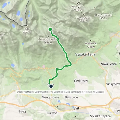 ModerateOne-dayMarkedNižné Hágy Junction below Poľský hrebeňElevation profile849–2 195 m14.6 kmascent 64 m≈ 4 h walkingunder 1 km from Gerlachovský štít
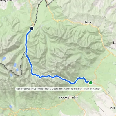 HardMulti-dayMarkedTatranská Lomnica Lysá PoľanaElevation profile853–2 268 m27.3 kmascent 1 400 m≈ 9.5 h walking1.2 km from Gerlachovský štít
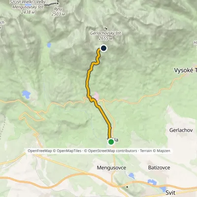 ModerateOne-dayMarkedŠtôla Batizovské TarnElevation profile852–1 901 m8.6 kmascent 1 041 m≈ 4 h walking1.4 km from Gerlachovský štít
Nearby attractions
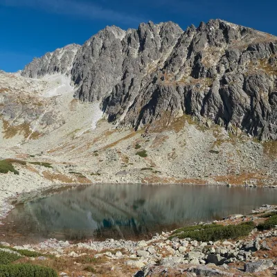 LakeBatizovské pleso1.4 km from Gerlachovský štítBatizovské pleso is a high-mountain lake in the Batizovská valley at 1,884 m, right below the walls of Gerlachovský štít (2,655 m) — the highest peak of the Tatras and...
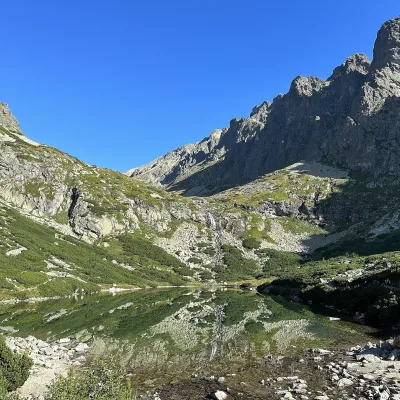 LakeVelické pleso and Sliezsky dom1.7 km from Gerlachovský štítVelické pleso is the largest lake of the Velická valley in the High Tatras, at 1,663 m, at the foot of Gerlachovský štít — the highest peak of the Tatras.
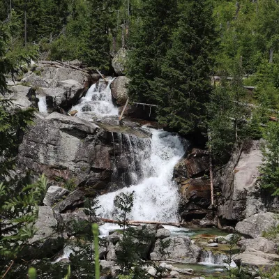 WaterfallStudený potok Waterfalls and Hrebienok6.4 km from Gerlachovský štítThe Studený potok waterfalls (Vodopády Studeného potoka), known in Polish literature as the Zimna Woda waterfalls, are one of the oldest tourist attractions of the...
Craft nearby
All craft places Cheese dairies & pasturesShepherd's Hut on Rusinowa Polana11 km from Gerlachovský štítRusinowa Polana is one of the most beautiful mountain glades in the Polish Tatras, and from May to October it is home to the bacówka (shepherd's hut) of baca Stanisław...
 Cheese dairies & pasturesFurtek's Shepherd's Huts, Kuźnice and Kalatówki17 km from Gerlachovský štítAbove Kuźnice — the southern edge of Zakopane where most hikes into the Western and High Tatras begin — the flocks are tended by baca Andrzej Staszel, nicknamed "Furtek".
 Water parks & thermal poolsAquaCity Poprad water park17 km from Gerlachovský štítAquaCity Poprad is a large year-round water park and wellness complex in the town of Poprad, a few minutes from the centre; according to the complex, the High Tatras...
 Craft beer & breweriesMinipivovar TATRAS, Poprad17 km from Gerlachovský štítMinipivovar TATRAS is a brewpub on Poprad’s main square, Námestie sv. Egídia, housed in a building with a long brewing history.
 Horse ridingKone vo Východnej: horse rides below the Tatras17 km from Gerlachovský štítKone vo Východnej (“Horses in Východná”) is a small family horse farm on the meadows above the village of Východná in upper Liptov, with a sweeping view of the High...
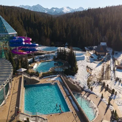 Water parks & thermal poolsTermy Bukovina18 km from Gerlachovský štítTermy Bukovina is a modern thermal pool complex in Bukowina Tatrzańska, a village lying about a thousand metres above sea level on the edge of the Tatra National Park.
