Rysy
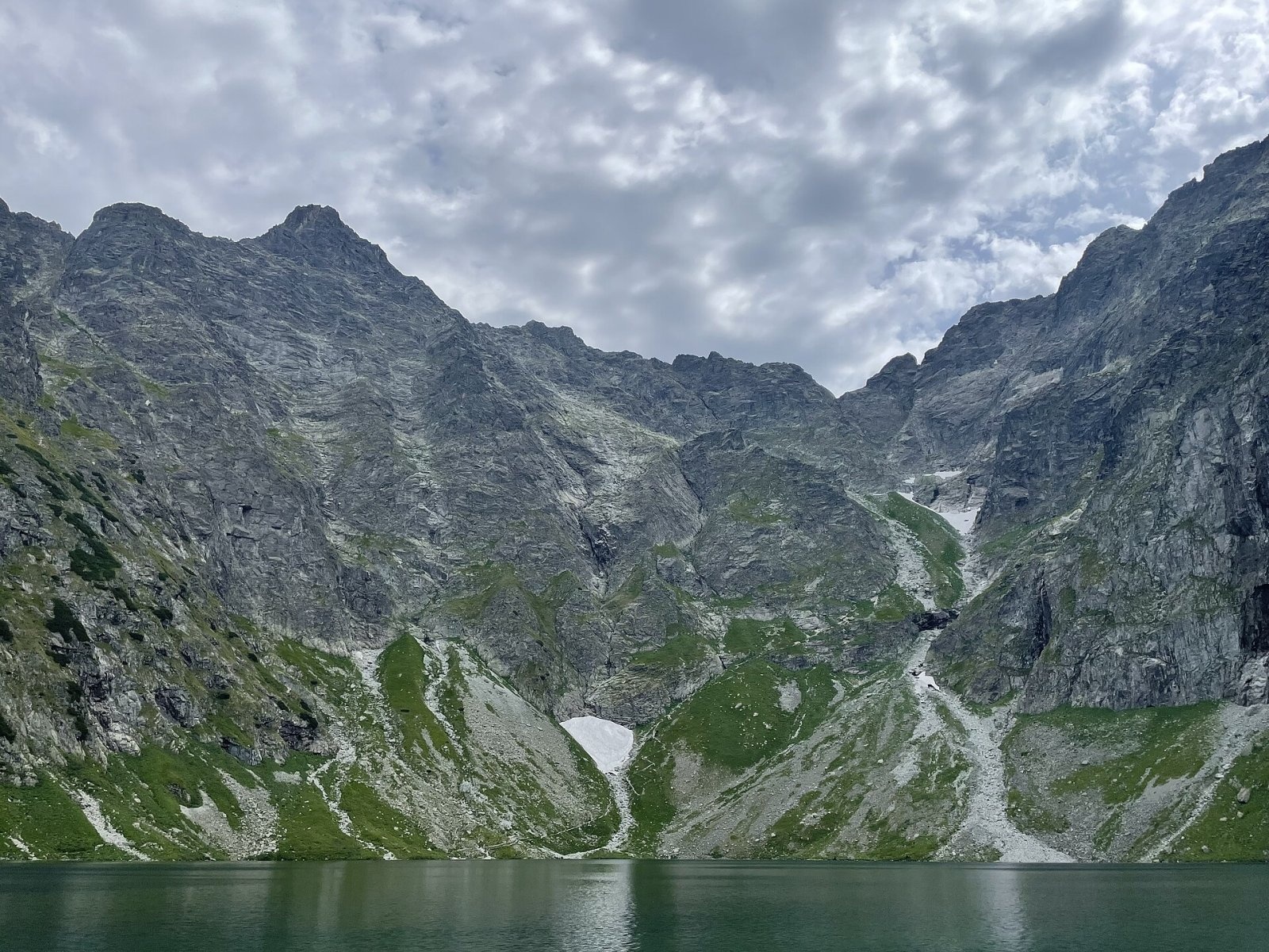
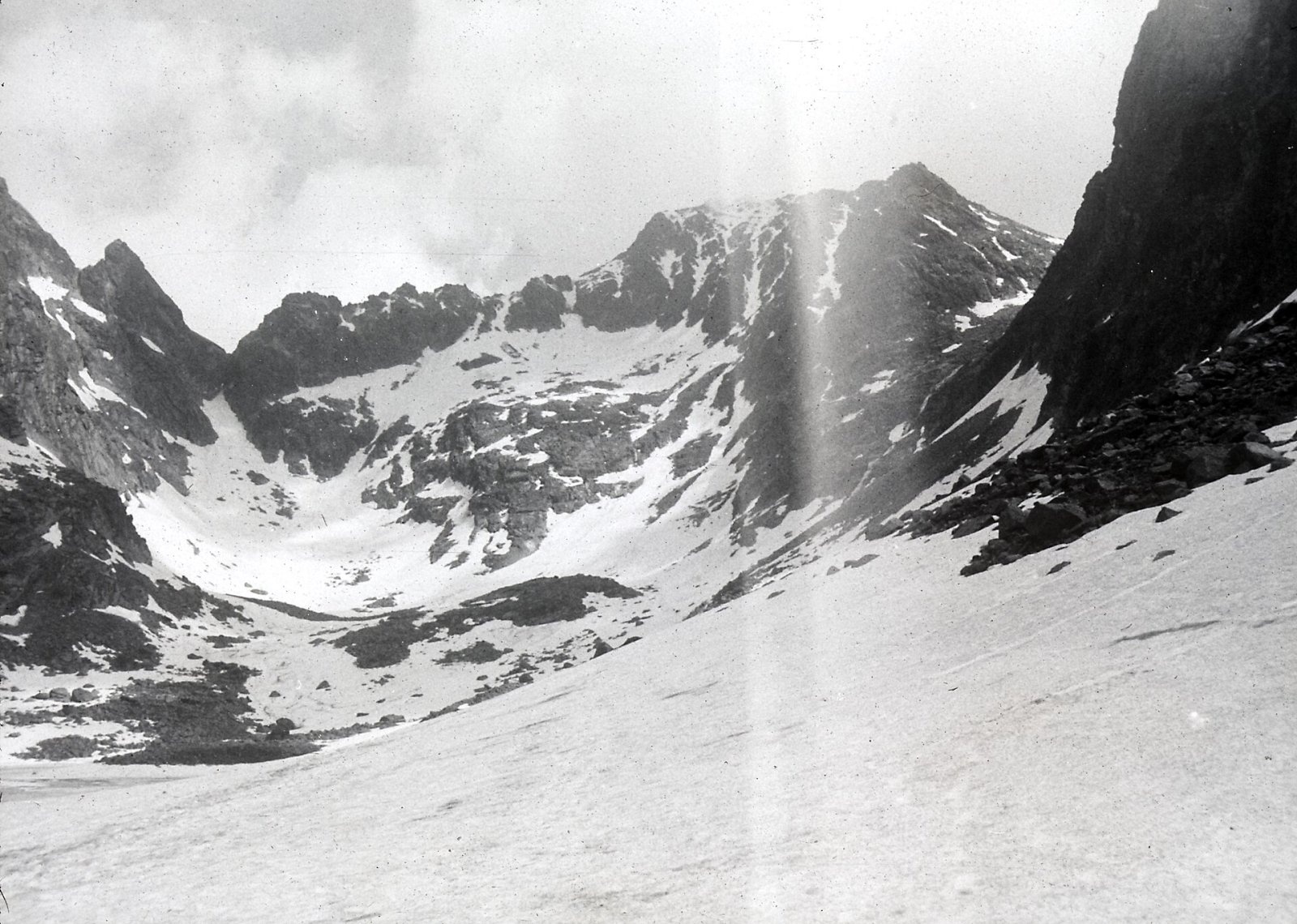
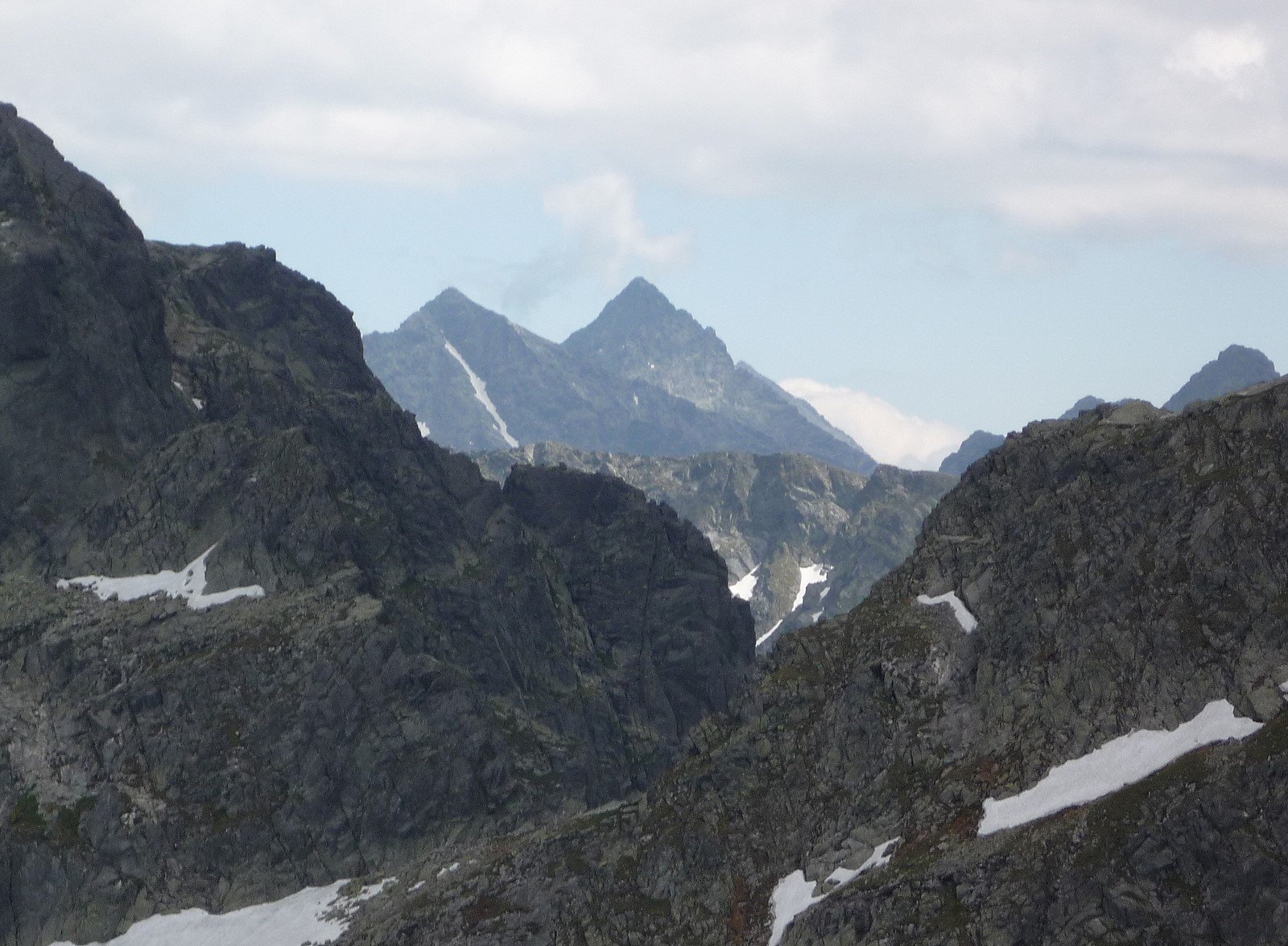
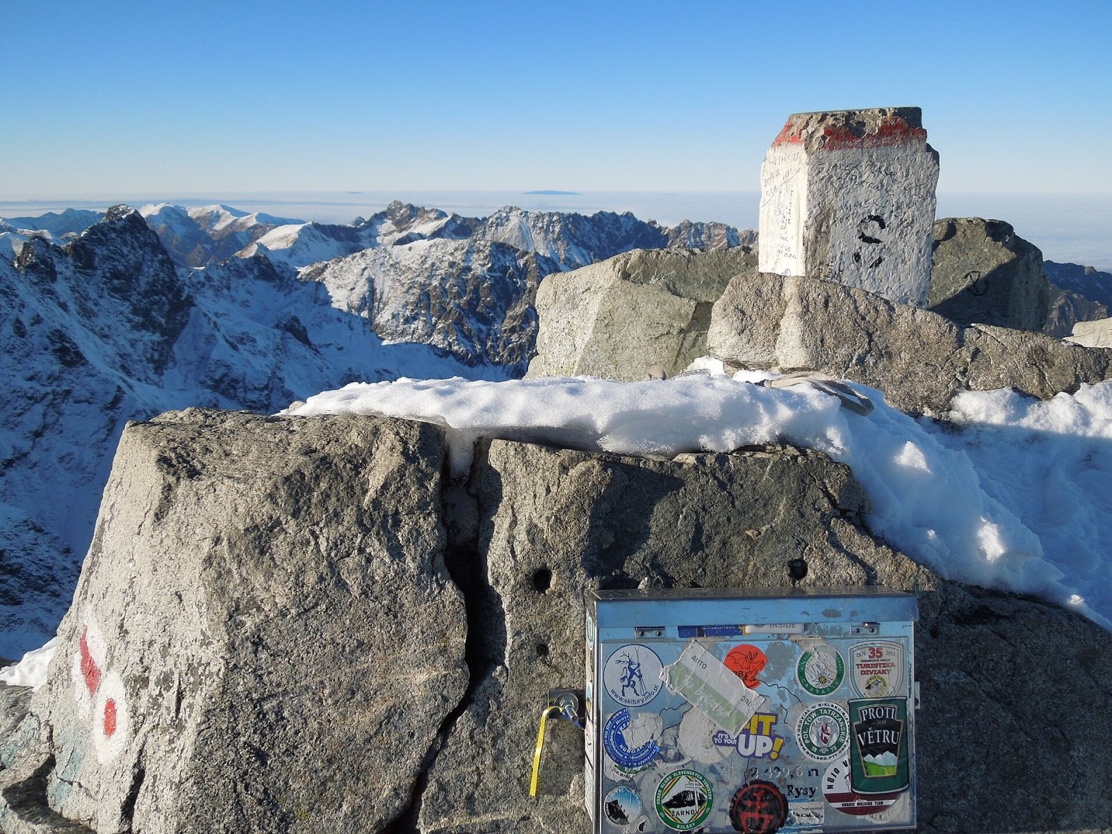
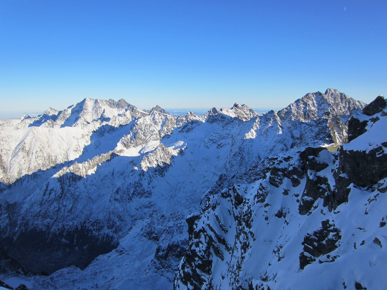
Rysy (German Meeraugspitze, Hungarian Tengerszem-csúcs) is a mountain on the main ridge of the High Tatras, on the border between Poland and Slovakia. It has three summits: the highest, middle one (2501 m) lies entirely in Slovakia; the north-western summit (2499 m), crossed by the border, is the highest point of Poland; the south-eastern one reaches 2473 m. Rysy rises more than 1100 m above the surface of Morskie Oko lake. It is the highest Tatra summit reached by a marked hiking trail, so thousands of people from both countries climb it every summer.
The mountain towers over three valleys: the Polish Dolina Rybiego Potoku with the lakes Morskie Oko and Czarny Staw pod Rysami, the Slovak Mengusovská dolina with the Žabie plesá tarns, and Bielovodská dolina to the north-east. The Przełęcz pod Rysami pass separates it from Niżnie Rysy, the Żabia Przełęcz from Žabí kôň, and the broad Váha saddle from the Vysoká massif. The nearest Slovak resort is Štrbské Pleso (about 6.6 km south); Zakopane in Poland is some 17 km to the north-west.
How to get there / routes
Two marked trails lead to the top, and both end on the north-western border summit.
- From Slovakia (red). From Popradské pleso a blue trail runs up Mengusovská dolina to the junction above Žabí potok; the red trail then continues past the Žabie plesá tarns and the Chata pod Rysmi hut, over the Váha saddle to the summit. Slovak sources give about 3 h 35 min up and 2 h 45 min down. Popradské pleso itself is reached on the red trail from Štrbské Pleso (about 1 h 40 min) or on the blue trail from the Popradské Pleso railway stop (about 1 h 20 min). This side is considered the easier one.
- From Poland (red). From Morskie Oko the trail climbs to Czarny Staw pod Rysami, then up the northern slope and the western wall, with chains on the steepest sections. Allow about 4 h up and about 3 h down. The route is more spectacular but steeper and more exposed, and snow often lingers in the gullies until the second half of June.
On the Slovak slope, at 2250 m, stands Chata pod Rysmi, the highest mountain hut in Slovakia and in the Tatras, built in 1932. New technical aids were installed on the steepest sections of the path to it in 2016. From 2000 the north-western summit served as a pedestrian border crossing; since both countries joined the Schengen area in 2007 the border can be crossed freely.
The view from the summit
The rocky top offers a full 360° panorama. You can see most of the peaks and valleys of the High Tatras – including Gerlachovský, Lomnický and Ľadový štít and Kriváň – the northern part of the Belianske Tatras ridge and, on clear days, the Low Tatras, Poľana, the Veľká Fatra ridge, the Orava Beskids and the mountains of southern Poland. Directly below lie Czarny Staw and Morskie Oko on the Polish side and the Žabie plesá on the Slovak side.
Nature and history
The name comes from the Polish highlanders (górale): "rysy" are scratches, grooves and gullies in the rock faces, which hold snow long into spring. Despite a folk explanation, it has nothing to do with the lynx (ryś). The German and Hungarian names mean "the peak above Morskie Oko".
The first known ascent was made in 1840 by Ede Blásy with the guide Ján Ruman-Driečny Sr.; the first winter ascent on 10 April 1884 by Theodor Wundt and the guide Jakob Horvay. In 1899 Maria Skłodowska-Curie and her husband Pierre climbed Rysy. Chains were first fixed on the Polish trail in 1886; in July 2012 a rockfall damaged the chains and the path above Czarny Staw.
Even above 2480 m, 63 species of flowering plants have been recorded, mostly alpine ones, including species rare in Poland. Tatra chamois and marmots live on the southern slopes.
Safety, season and rules
- Slovak side (TANAP). High-mountain trails, including those to Chata pod Rysmi and the summit, are closed from 1 November to 31 May under the park's current visitor rules. Hiking is allowed only in daylight. Check the latest restrictions on the TANAP website.
- Polish side (TPN). Entry to the Tatra National Park requires a paid ticket; from 1 March to 30 November walking on the trails between dusk and dawn is prohibited. The trail has no seasonal closure, but in winter the ascent from Morskie Oko is a serious mountaineering undertaking requiring crampons and an ice axe, with high avalanche danger; fatal accidents have occurred.
- The rock is brittle in places and the Polish route has chains and steep, exposed sections; lingering snow, unsuitable clothing and overestimating one's fitness are the most common causes of accidents.
- Rescue: in Slovakia the Mountain Rescue Service HZS, 18 300 (+421 18 300); in Poland TOPR, 985 or +48 601 100 300; general emergency number 112.
Interesting facts
- Poland's highest point has been measured many times: in 2019 surveyors obtained 2499.0 m, while the 2503 m often printed on maps for the main summit is regarded as overstated – it comes from Austrian surveys of 1896–1897.
- Rysy belongs to the Crown of Europe – the list of the highest peaks of European countries.
- Chata pod Rysmi is open only in summer, and supplies are still carried up on the backs of mountain porters.
Photos: TedusEdits, CC BY-SA 4.0; Falk2, CC BY-SA 4.0; Krzysztof Dudzik-Górnicki (User:ToSter), CC BY 3.0; Milan Bališin, CC BY-SA 4.0; Milan Bališin, CC BY-SA 4.0; Dguendel, CC BY 4.0; Chris Olszewski, CC BY-SA 4.0 — Wikimedia Commons.
Getting there from Ukraine
Border crossings
- Krakovets – Korczowa — road, 24/7
- Shehyni – Medyka — road, 24/7 Pedestrian crossing is not confirmed by the Ukrainian border service — check dpsu.gov.ua before the trip.
- Smilnytsia – Krościenko — road, 24/7
- Hrushiv – Budomierz — road, 24/7
- Mostyska – Przemyśl (rail) — rail, 24/7
By car
Lviv – Zakopane ≈421 km, ≈5 h 10 min without border queues. Route: M-10 Lviv – Krakovets → Krakovets – Korczowa checkpoint → A4 motorway (Rzeszów – Tarnów – Kraków) → Kraków southern bypass → S7/DK7 → DK47 ('Zakopianka') via Nowy Targ → Zakopane. The A4 Katowice – Kraków section (Balice and Mysłowice toll plazas) is tolled, but this route does not use it. In summer and at weekends the DK47 near Zakopane is often congested.
Checked 23.10.2026; border crossing hours and timetables change — check before you travel.
Location on the map
Comments
Trails nearby
All trails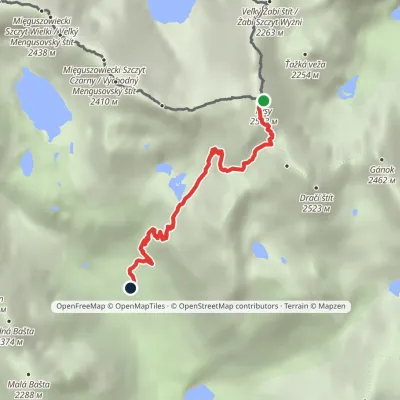 EasyOne-dayMarkedJunction at Žabí potok RysyElevation profile1 626–2 466 m4.3 km≈ 1 h walkingunder 1 km from Rysy
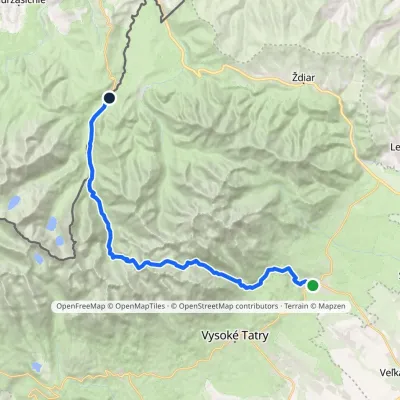 HardMulti-dayMarkedTatranská Lomnica Lysá PoľanaElevation profile853–2 268 m27.3 kmascent 1 400 m≈ 9.5 h walking2.1 km from Rysy
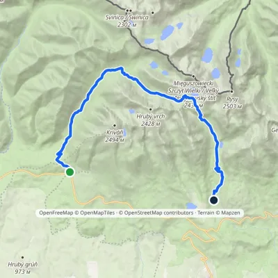 HardTwo-dayMarkedTri studničky, old forester's lodge Popradské Pleso, stopElevation profile1 105–2 142 m21.4 kmascent 1 129 m≈ 7.5 h walking2.1 km from Rysy
Nearby attractions
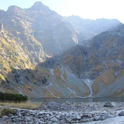 LakeCzarny Staw pod Rysami1.3 km from RysyCzarny Staw pod Rysami (the Black Lake below Rysy) lies in a glacial cirque of the Rybi Potok Valley, directly above Morskie Oko.
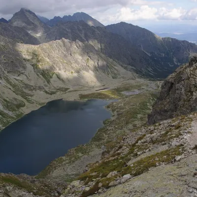 LakeVeľké Hincovo pleso2.1 km from RysyVeľké Hincovo pleso is the largest and deepest glacial lake in the Slovak part of the Tatras and in all of Slovakia.
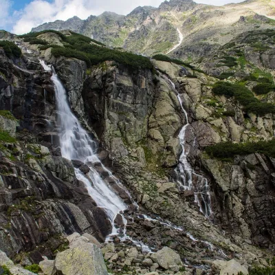 WaterfallSkok Waterfall4.3 km from RysySkok (Vodopád Skok) is one of the most beautiful waterfalls of the Slovak Tatras. Here the Mlynica stream drops over a rock step that blocks the middle part of the...
Craft nearby
All craft places Cheese dairies & pasturesShepherd's Hut on Rusinowa Polana9.3 km from RysyRusinowa Polana is one of the most beautiful mountain glades in the Polish Tatras, and from May to October it is home to the bacówka (shepherd's hut) of baca Stanisław...
 Cheese dairies & pasturesFurtek's Shepherd's Huts, Kuźnice and Kalatówki13 km from RysyAbove Kuźnice — the southern edge of Zakopane where most hikes into the Western and High Tatras begin — the flocks are tended by baca Andrzej Staszel, nicknamed "Furtek".
 Koliby & Hutsul cuisineBąkowo Zohylina Wyźnio Highland Tavern15 km from RysyBąkowo Zohylina Wyźnio is a regional highland tavern in Zakopane housed in a wooden "szałas" (shepherd-hut-style building) with a view of the Tatras.
 Horse ridingKone vo Východnej: horse rides below the Tatras16 km from RysyKone vo Východnej (“Horses in Východná”) is a small family horse farm on the meadows above the village of Východná in upper Liptov, with a sweeping view of the High...
 Water parks & thermal poolsTermy Zakopiańskie (Aqua Park Zakopane)16 km from RysyTermy Zakopiańskie is a thermal water park right in Zakopane, on Jagiellońska Street, only a kilometre from Krupówki.
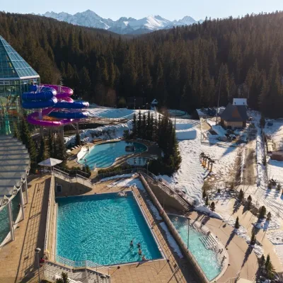 Water parks & thermal poolsTermy Bukovina16 km from RysyTermy Bukovina is a modern thermal pool complex in Bukowina Tatrzańska, a village lying about a thousand metres above sea level on the edge of the Tatra National Park.
