Czarny Staw pod Rysami
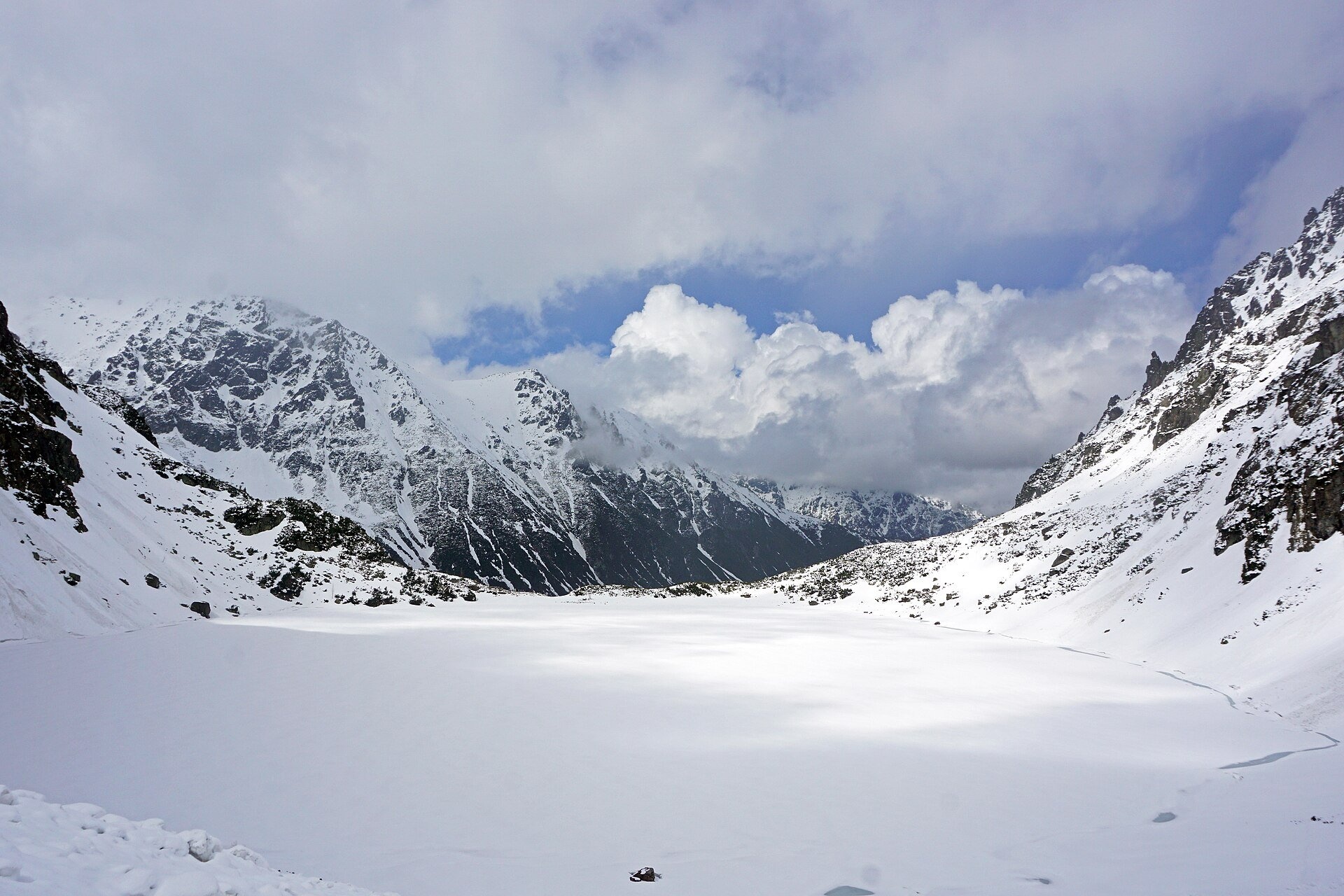
A stern lake below Poland's highest peak
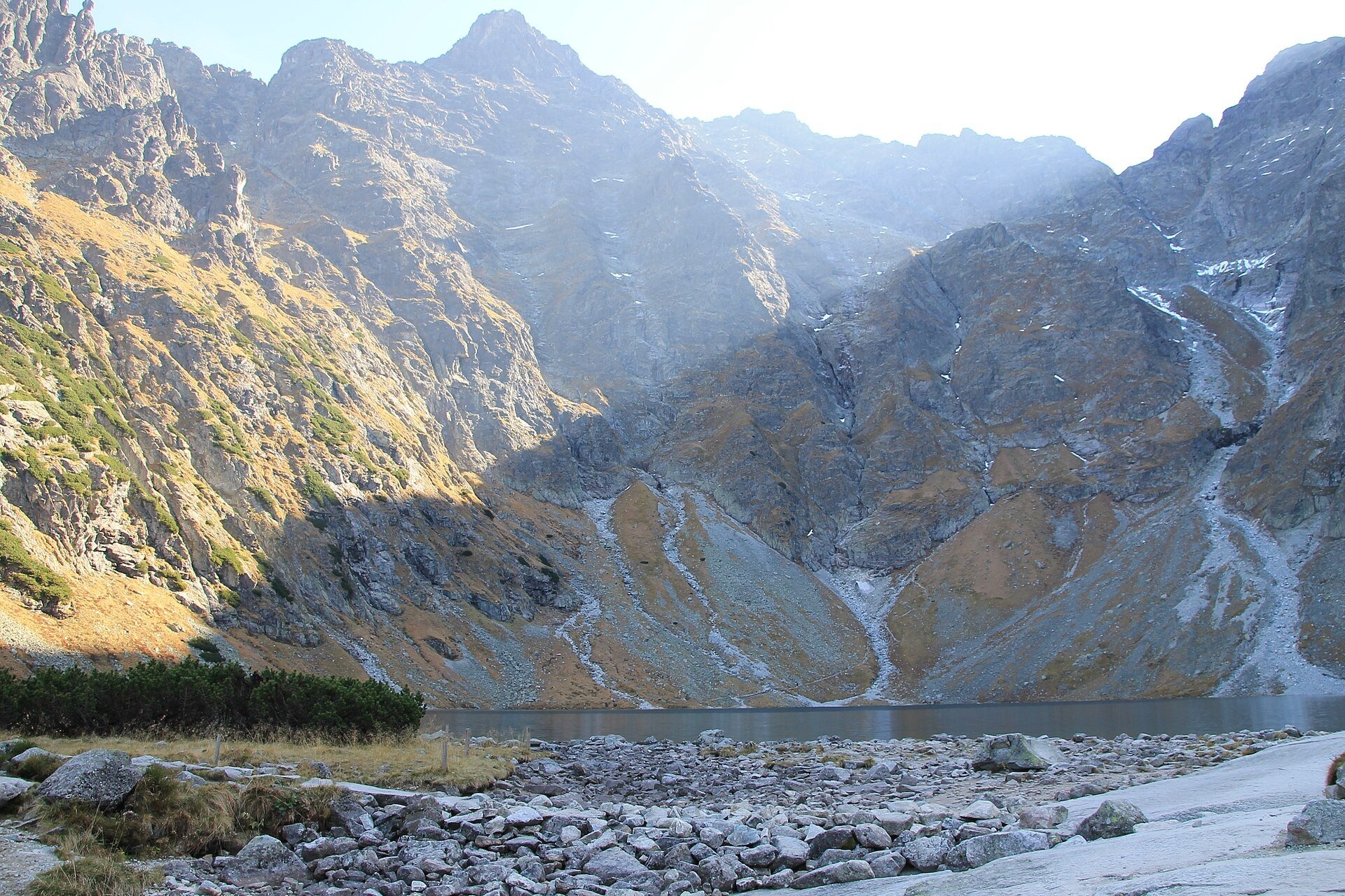
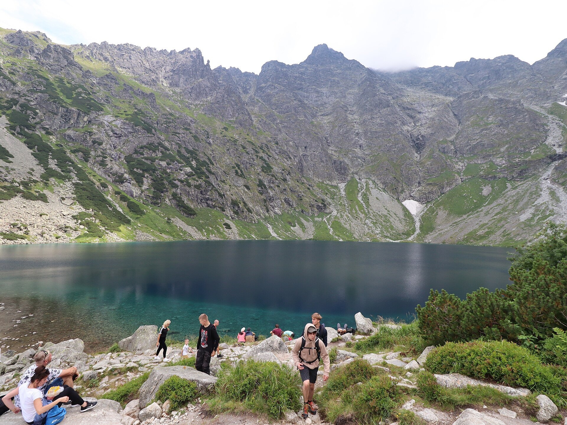
Czarny Staw pod Rysami (the Black Lake below Rysy) lies in a glacial cirque of the Rybi Potok Valley, directly above Morskie Oko. The lake is almost circular and sits at 1,583 m — 188 m higher than Morskie Oko. It covers about 20.6 ha and is up to 76.4 m deep: the second deepest lake in the Tatras and the fourth deepest in Poland. Czarny Staw is also the southernmost lake in the country.
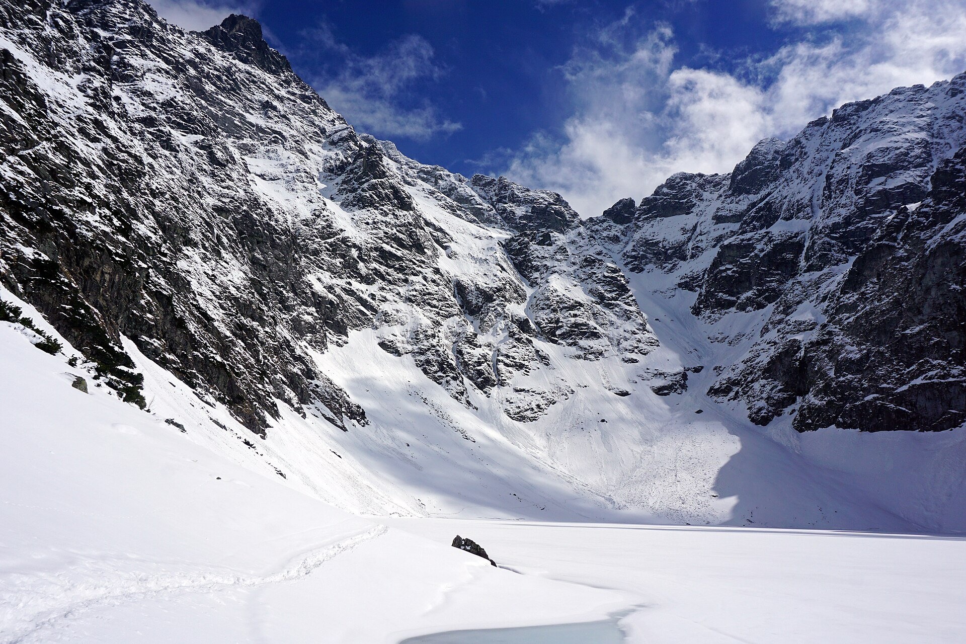
The name is apt: shadows from the high walls and cyanobacteria in the water make it dark, almost black. Above the water rises the 576 m wall of Kazalnica, and the cirque is framed by Mięguszowiecki Szczyt Czarny, Rysy, Niżnie Rysy and the Żabia Grań ridge. The lake is poor in nutrients: attempts to stock it with trout from Morskie Oko, begun as early as 1883, never succeeded. In summer the water warms only to 7–11.5 °C, and the lake usually freezes as early as October–November. 19th-century poets called it the gloomiest pond in the Polish Tatras, while the Hungarian mountaineer Mór Déchy called it the most beautiful lake scenery in the whole range.
What to see
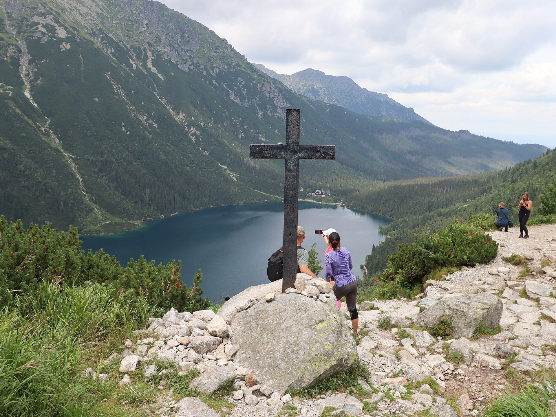
- The iron cross on the rock threshold — cast from Tatra iron at Kuźnice and set up here in 1836; from here you look down on Morskie Oko.
- Czarnostawiańska Siklawa — the cascades by which Czarny Staw's water tumbles from the threshold towards Morskie Oko.
- The view of Rysy (2,499 m) — Poland's highest peak, reached from here by the red trail.
- Roches moutonnées — glacier-polished rocks forming the threshold that dams the lake.
The lake has long attracted scientists: in 1804 Stanisław Staszic measured its depth and water temperature, and the first winter visit was made on 31 December 1910.
Practical information
Getting there. First you need to reach Morskie Oko: about 8 km on asphalt from Palenica Białczańska (around 2.5 hours according to TPN), or partly by TPN e-bus to the Włosienica clearing. From the hut at Morskie Oko the red trail runs along the eastern shore and climbs steeply up stone steps to the threshold: about 50 minutes up and 40 minutes down. This is a proper mountain path with big steps — not suitable for pushchairs, but manageable for school-age children and people of ordinary fitness. Including the road to Morskie Oko, allow at least 8–9 hours for the day.
Parking and transport. The TPN car parks at Palenica Białczańska and Łysa Polana admit only cars with an e-ticket bought in advance on the TPN website (36–75 zł online); it is best to arrive before 8:00. The TPN ticket costs 11 zł.
Safety. Beyond the lake the trail to Rysy is a high-mountain route with chains, for experienced hikers only (about 3 hours up). As of 23 October 2026 TPN reports fresh snow and ice above the tree line and, because of a rockfall near Mięguszowiecki Szczyt, advises particular care on the way to Przełęcz pod Chłopkiem. In winter the slopes above Morskie Oko are prone to avalanches. From 1 March to 30 November trails may not be used between dusk and dawn; dogs and drones are banned in TPN.
Nearby
- Morskie Oko — just below the threshold.
- Wodogrzmoty Mickiewicza — on the road from Palenica.
- Wielki Staw Polski — in the neighbouring Valley of Five Lakes.
Official website: tpn.gov.pl
Photos: Marcel Maslyk, CC BY-SA 4.0, Wikimedia Commons; Cybularny, CC0, Wikimedia Commons; kallerna, CC BY-SA 4.0, Wikimedia Commons; Chris Olszewski, CC BY-SA 4.0, Wikimedia Commons; Guntars Mednis, CC BY-SA 3.0, Wikimedia Commons.
Getting there from Ukraine
Border crossings
- Krakovets – Korczowa — road, 24/7
- Shehyni – Medyka — road, 24/7 Pedestrian crossing is not confirmed by the Ukrainian border service — check dpsu.gov.ua before the trip.
- Smilnytsia – Krościenko — road, 24/7
- Hrushiv – Budomierz — road, 24/7
- Mostyska – Przemyśl (rail) — rail, 24/7
By car
Lviv – Zakopane ≈421 km, ≈5 h 10 min without border queues. Route: M-10 Lviv – Krakovets → Krakovets – Korczowa checkpoint → A4 motorway (Rzeszów – Tarnów – Kraków) → Kraków southern bypass → S7/DK7 → DK47 ('Zakopianka') via Nowy Targ → Zakopane. The A4 Katowice – Kraków section (Balice and Mysłowice toll plazas) is tolled, but this route does not use it. In summer and at weekends the DK47 near Zakopane is often congested.
Checked 23.10.2026; border crossing hours and timetables change — check before you travel.
Location on the map
Comments
Trails nearby
All trails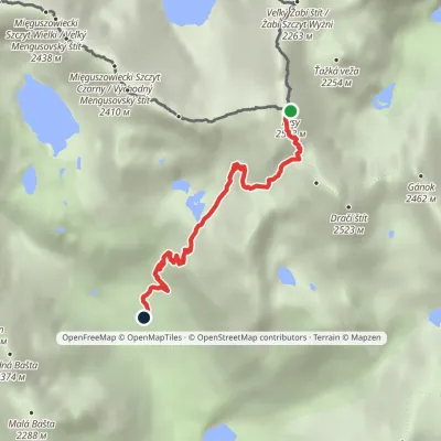 EasyOne-dayMarkedJunction at Žabí potok RysyElevation profile1 626–2 466 m4.3 km≈ 1 h walking1.3 km from Czarny Staw pod Rysami
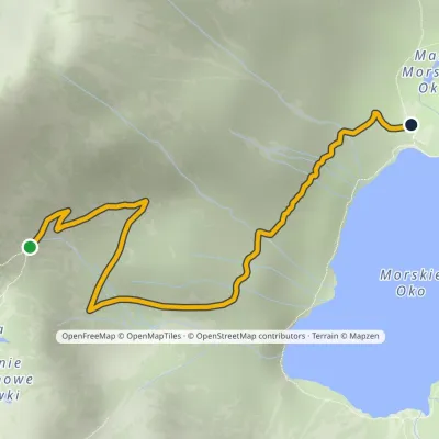 EasyOne-dayMarkedPod Mnichem Junction to Szpiglasowa PassElevation profile1 409–1 794 m2.3 km≈ 30 min walking1.4 km from Czarny Staw pod Rysami
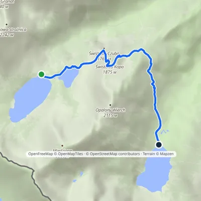 EasyOne-dayMarkedHut in the Valley of Five Lakes Hut at Morskie OkoElevation profile1 398–1 853 m4.6 kmascent 177 m≈ 1.5 h walking1.5 km from Czarny Staw pod Rysami
Nearby attractions
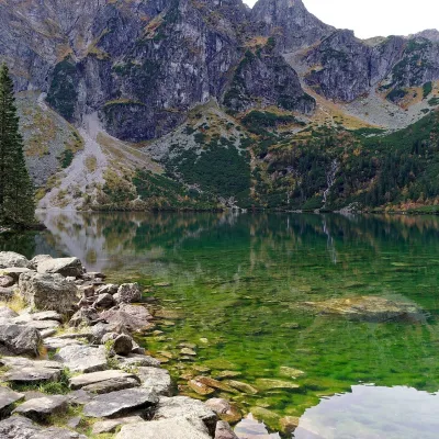 LakeMorskie Oko1.1 km from Czarny Staw pod RysamiMorskie Oko (“Eye of the Sea”) is a glacial lake in the Rybi Potok Valley at 1,395 m, at the foot of the Mięguszowieckie peaks.
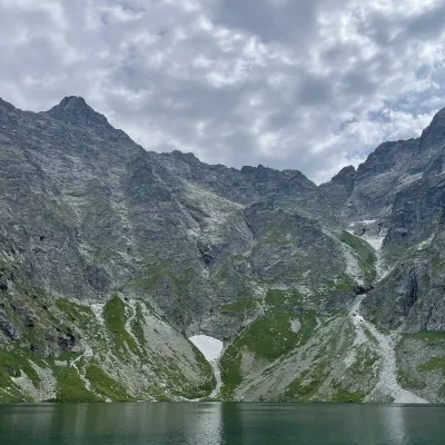 PeakRysyaltitude 2 501 m1.3 km from Czarny Staw pod RysamiRysy (German Meeraugspitze, Hungarian Tengerszem-csúcs) is a mountain on the main ridge of the High Tatras, on the border between Poland and Slovakia.
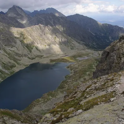 LakeVeľké Hincovo pleso1.6 km from Czarny Staw pod RysamiVeľké Hincovo pleso is the largest and deepest glacial lake in the Slovak part of the Tatras and in all of Slovakia.
Craft nearby
All craft places Cheese dairies & pasturesShepherd's Hut on Rusinowa Polana8.4 km from Czarny Staw pod RysamiRusinowa Polana is one of the most beautiful mountain glades in the Polish Tatras, and from May to October it is home to the bacówka (shepherd's hut) of baca Stanisław...
 Cheese dairies & pasturesFurtek's Shepherd's Huts, Kuźnice and Kalatówki12 km from Czarny Staw pod RysamiAbove Kuźnice — the southern edge of Zakopane where most hikes into the Western and High Tatras begin — the flocks are tended by baca Andrzej Staszel, nicknamed "Furtek".
 Koliby & Hutsul cuisineBąkowo Zohylina Wyźnio Highland Tavern14 km from Czarny Staw pod RysamiBąkowo Zohylina Wyźnio is a regional highland tavern in Zakopane housed in a wooden "szałas" (shepherd-hut-style building) with a view of the Tatras.
 Water parks & thermal poolsTermy Zakopiańskie (Aqua Park Zakopane)14 km from Czarny Staw pod RysamiTermy Zakopiańskie is a thermal water park right in Zakopane, on Jagiellońska Street, only a kilometre from Krupówki.
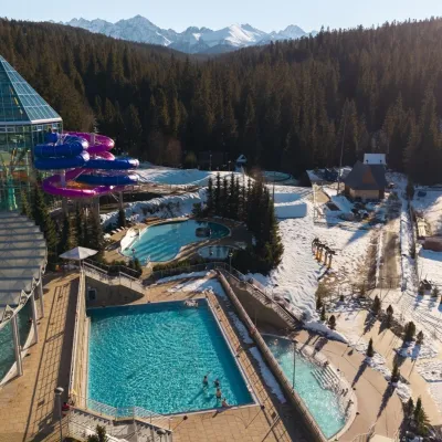 Water parks & thermal poolsTermy Bukovina15 km from Czarny Staw pod RysamiTermy Bukovina is a modern thermal pool complex in Bukowina Tatrzańska, a village lying about a thousand metres above sea level on the edge of the Tatra National Park.
 Markets & fairsMarket under Gubałówka15 km from Czarny Staw pod RysamiThe market under Gubałówka (Targ pod Gubałówką) is Zakopane's best-known bazaar and probably the most photographed row of stalls in the Polish Tatras.
