Wielki Staw Polski
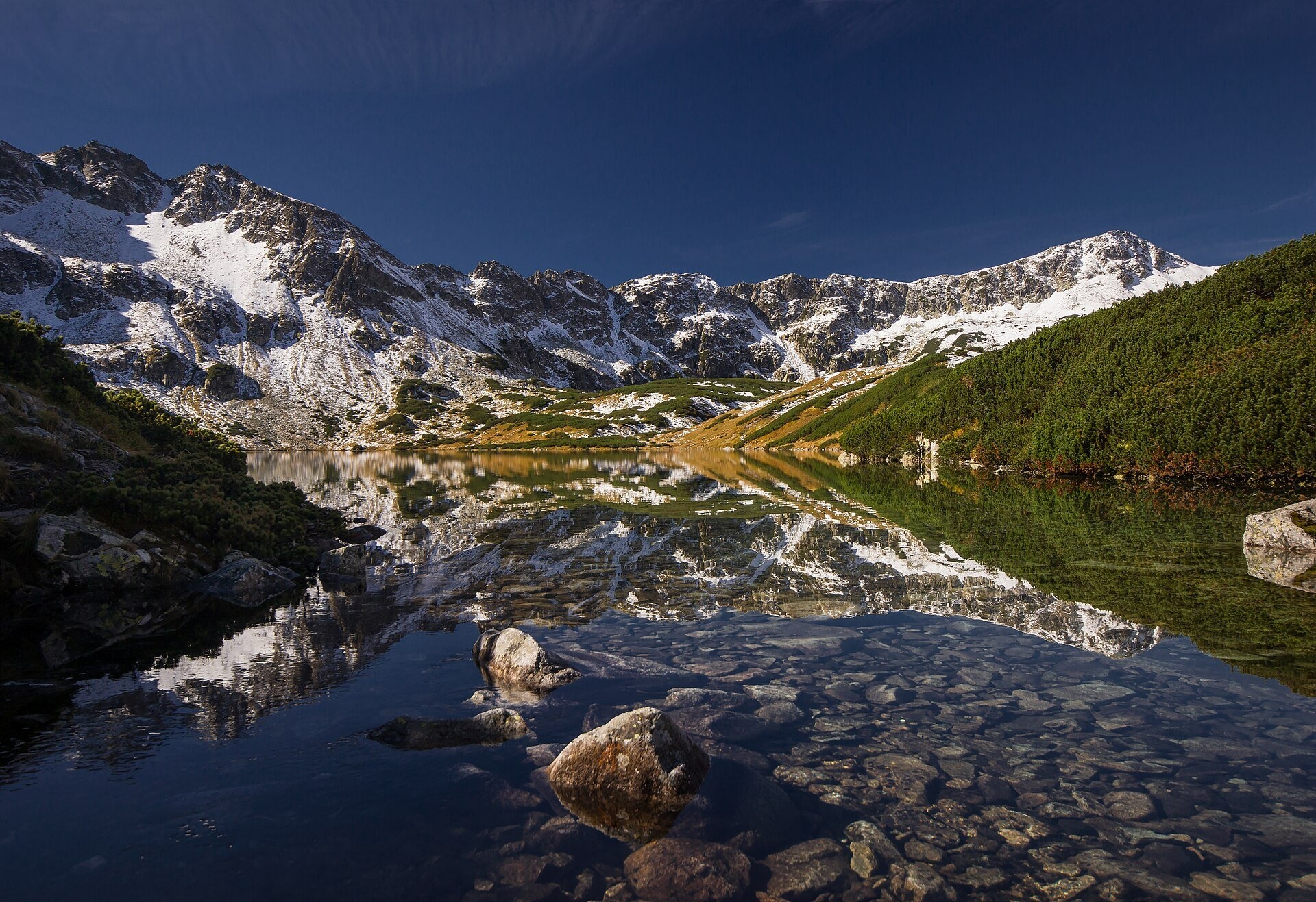
The deepest lake in the Tatras
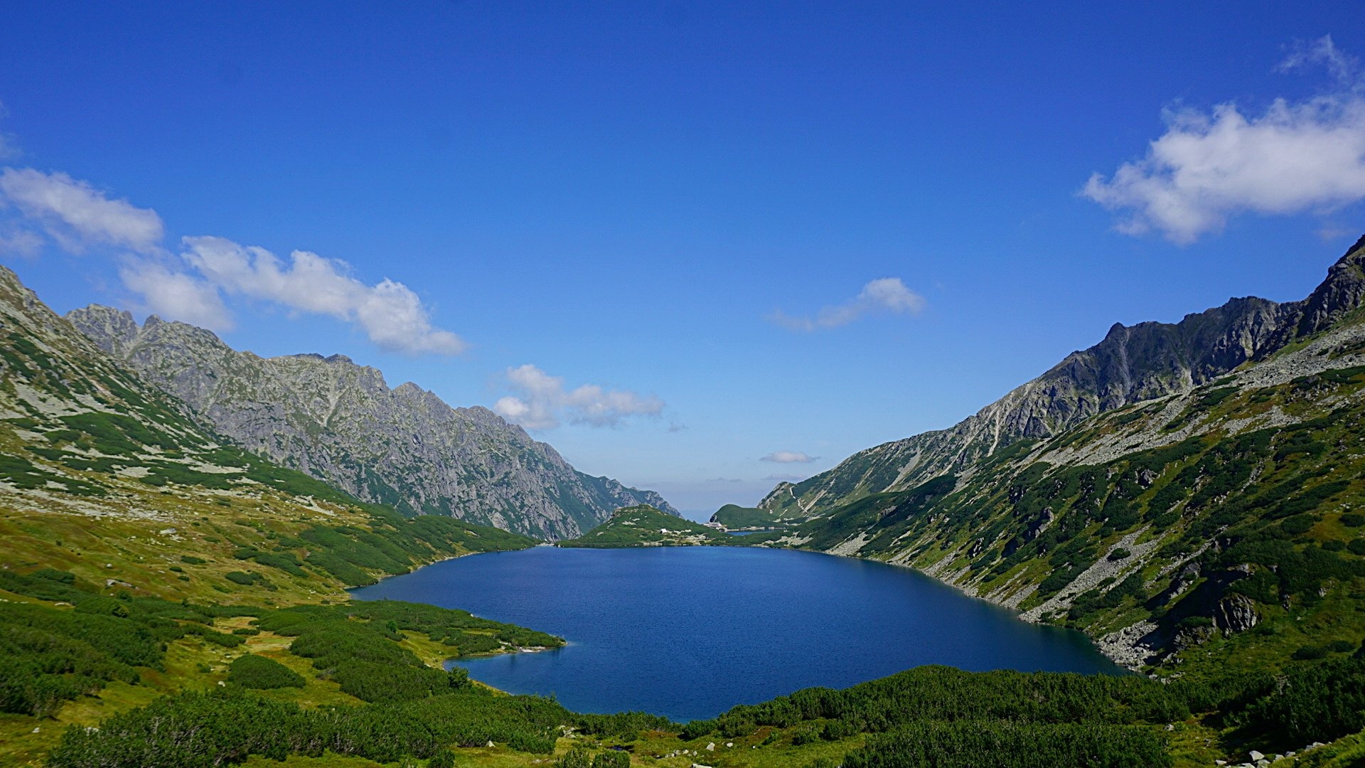
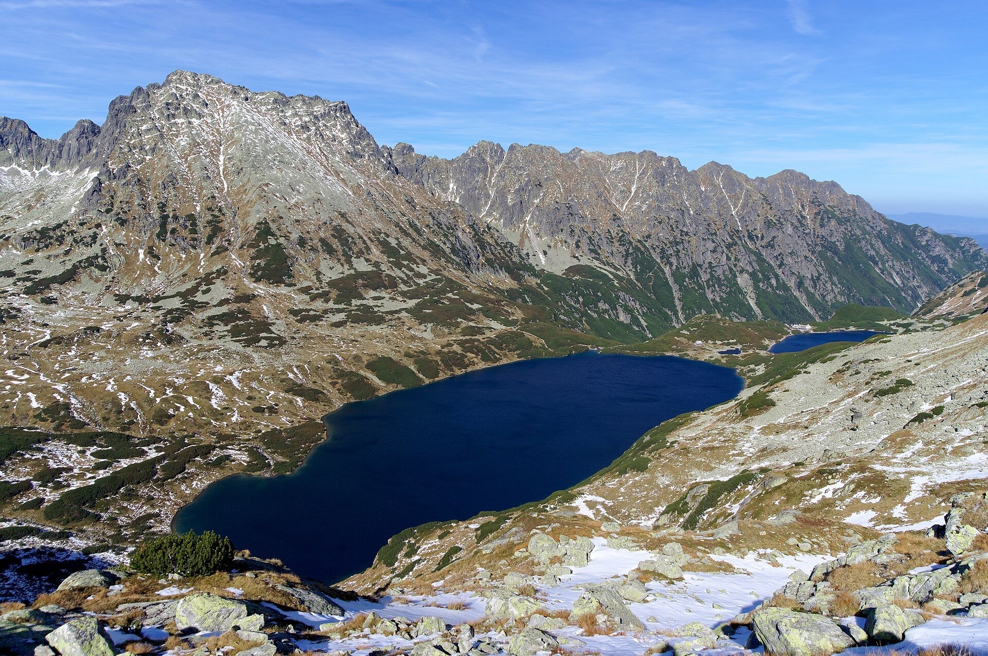
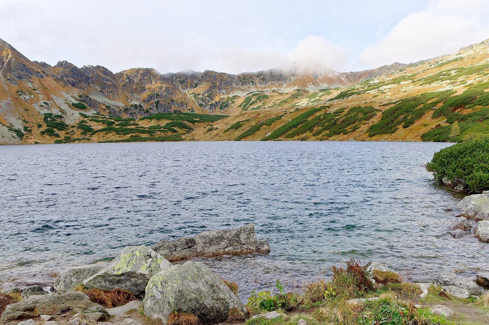
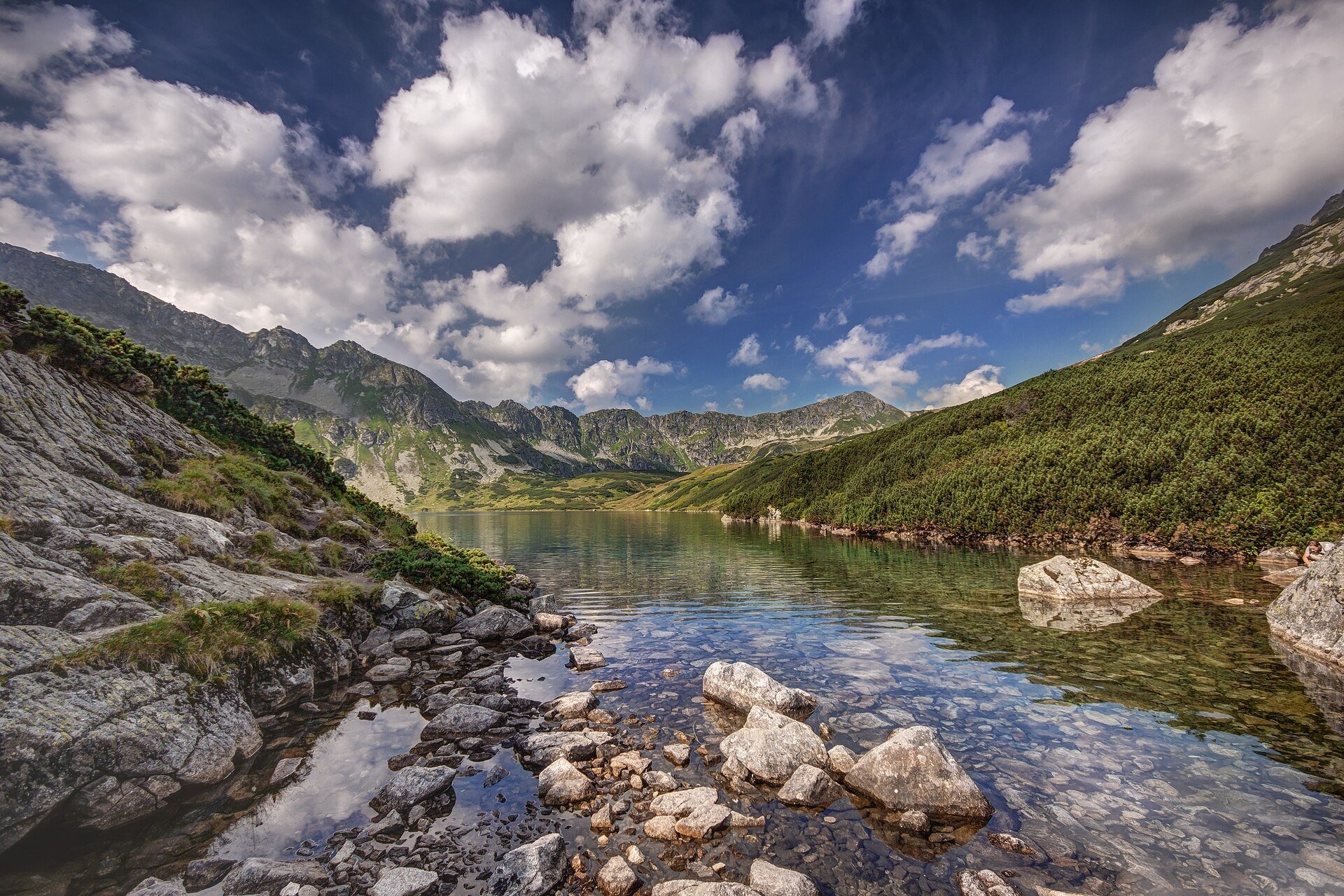
Wielki Staw Polski (the Great Polish Lake) lies in the High Tatras, in the Valley of the Five Polish Lakes, at 1,665 m, below the slopes of the Miedziane ridge. According to measurements from 1934 it covers 34.14 ha and is 79.3 m deep (a later sounding found 80.3 m). It is the deepest and longest (998 m) lake in the Tatras and the third deepest in Poland. It holds about 13 million cubic metres of water — roughly a third of the water in all Tatra lakes. An old guidebook wrote that the whole of Kraków's St Mary's Church could hide in its depths, with only the crown on its roof showing above the water.
The basin was carved in the Pleistocene by glaciers converging here from several side valleys. The water is green and very clear and stays below 11 °C even in summer. The lake drains into the Roztoka stream, which just below forms Wielka Siklawa. Above the right-hand shore rises Kozi Wierch (2,291 m), the highest peak lying entirely within Poland. Above the north-western shore, at about 1,725 m, stands the oldest shepherd's hut in the Tatras, mentioned as early as the 17th century and restored in 1986.
What to see and do
- The shore at the Roztoka outflow — from here you see the whole lake against the peaks.
- The Valley of the Five Polish Lakes — besides Wielki Staw it holds Mały, Przedni, Czarny and Zadni Staw.
- The PTTK hut in the Valley of the Five Polish Lakes on the shore of Przedni Staw (1,671 m) — the highest-situated hut in Poland and the only one not reachable by car. The first hut here dates from 1876 and the present building opened in 1953; it has its own hydroelectric plant and sewage treatment.
- A loop to Morskie Oko over the Opalony Wierch ridge (1,855 m) and the Świstówka hollow: according to TPN the whole route from Palenica Białczańska is about 20 km, with views of Rysy and the Mięguszowieckie peaks.
Practical information
Getting there. The most popular way is from Palenica Białczańska along the Morskie Oko road to Wodogrzmoty Mickiewicza (about 50 minutes), then up the green trail through the Roztoka Valley past Wielka Siklawa. From Wodogrzmoty to the lake it is about 2 hours up and 1.5–1.7 hours down; the height gain from Palenica is roughly 700 m. Beyond the gentle road this is a real mountain trail with stones and wet slabs, so it is not suitable for pushchairs and requires good footwear and fitness. Allow at least 6–7 hours for the round trip.
Parking and tickets. The TPN car parks at Palenica Białczańska and Łysa Polana admit only cars with an e-ticket bought in advance on the TPN website (36–75 zł online). Since 1 September 2026 horse carts run from Palenica to Wodogrzmoty Mickiewicza. The TPN entry ticket costs 11 zł.
Safety and rules. As of 23 October 2026 TPN warns of fresh snow and ice above the tree line: go there only with experience, crampons, an ice axe and a helmet. In winter the area is prone to avalanches. TPN advises against drinking from or bathing in streams and lakes. From 1 March to 30 November trails may not be used between dusk and dawn; dogs and drones are banned in TPN.
Nearby
- Wielka Siklawa — Poland's highest waterfall, just below the lake.
- Morskie Oko — via Świstówka.
- Czarny Staw Gąsienicowy — another large glacial lake on the other side of Kozi Wierch.
Official website: tpn.gov.pl
Photos: Faxe, CC BY-SA 4.0, Wikimedia Commons; Jakub Hałun, CC BY-SA 4.0, Wikimedia Commons; Aneta Pawska, CC BY 3.0, Wikimedia Commons; Aneta Pawska, CC BY-SA 3.0 pl, Wikimedia Commons; Cybularny, CC0, Wikimedia Commons; Rafik k, CC BY-SA 4.0, Wikimedia Commons; Krzysztof Dudzik-Górnicki (User:ToSter), CC BY-SA 4.0, Wikimedia Commons.
Getting there from Ukraine
Border crossings
- Krakovets – Korczowa — road, 24/7
- Shehyni – Medyka — road, 24/7 Pedestrian crossing is not confirmed by the Ukrainian border service — check dpsu.gov.ua before the trip.
- Smilnytsia – Krościenko — road, 24/7
- Hrushiv – Budomierz — road, 24/7
- Mostyska – Przemyśl (rail) — rail, 24/7
By car
Lviv – Zakopane ≈421 km, ≈5 h 10 min without border queues. Route: M-10 Lviv – Krakovets → Krakovets – Korczowa checkpoint → A4 motorway (Rzeszów – Tarnów – Kraków) → Kraków southern bypass → S7/DK7 → DK47 ('Zakopianka') via Nowy Targ → Zakopane. The A4 Katowice – Kraków section (Balice and Mysłowice toll plazas) is tolled, but this route does not use it. In summer and at weekends the DK47 near Zakopane is often congested.
Checked 23.10.2026; border crossing hours and timetables change — check before you travel.
Location on the map
Comments
Trails nearby
All trails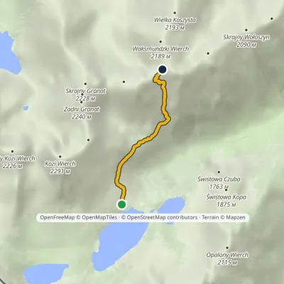 EasyOne-dayMarkedKrzyżne Zagon NiżniElevation profile1 674–2 107 m2.6 kmascent 457 m≈ 1.5 h walkingunder 1 km from Wielki Staw Polski
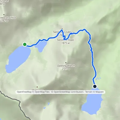 EasyOne-dayMarkedHut in the Valley of Five Lakes Hut at Morskie OkoElevation profile1 398–1 853 m4.6 kmascent 177 m≈ 1.5 h walkingunder 1 km from Wielki Staw Polski
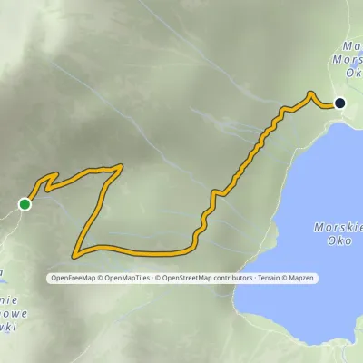 EasyOne-dayMarkedPod Mnichem Junction to Szpiglasowa PassElevation profile1 409–1 794 m2.3 km≈ 30 min walking1.6 km from Wielki Staw Polski
Nearby attractions
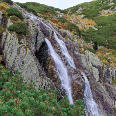 WaterfallWielka Siklawa Waterfallunder 1 km from Wielki Staw PolskiWielka Siklawa (also simply Siklawa) is Poland's highest waterfall. The Roztoka stream, flowing out of Wielki Staw Polski, drops here over the rock step between the...
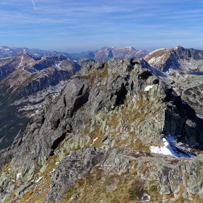 PeakSzpiglasowy Wierchaltitude 2 172 m1.3 km from Wielki Staw PolskiSzpiglasowy Wierch (Slovak: Hrubý štít) is a 2,172 m summit on the main ridge of the High Tatras, on the Polish–Slovak border.
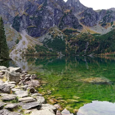 LakeMorskie Oko2.6 km from Wielki Staw PolskiMorskie Oko (“Eye of the Sea”) is a glacial lake in the Rybi Potok Valley at 1,395 m, at the foot of the Mięguszowieckie peaks.
Craft nearby
All craft places Cheese dairies & pasturesShepherd's Hut on Rusinowa Polana7.1 km from Wielki Staw PolskiRusinowa Polana is one of the most beautiful mountain glades in the Polish Tatras, and from May to October it is home to the bacówka (shepherd's hut) of baca Stanisław...
 Cheese dairies & pasturesFurtek's Shepherd's Huts, Kuźnice and Kalatówki8.4 km from Wielki Staw PolskiAbove Kuźnice — the southern edge of Zakopane where most hikes into the Western and High Tatras begin — the flocks are tended by baca Andrzej Staszel, nicknamed "Furtek".
 Koliby & Hutsul cuisineBąkowo Zohylina Wyźnio Highland Tavern10 km from Wielki Staw PolskiBąkowo Zohylina Wyźnio is a regional highland tavern in Zakopane housed in a wooden "szałas" (shepherd-hut-style building) with a view of the Tatras.
 Water parks & thermal poolsTermy Zakopiańskie (Aqua Park Zakopane)11 km from Wielki Staw PolskiTermy Zakopiańskie is a thermal water park right in Zakopane, on Jagiellońska Street, only a kilometre from Krupówki.
 Markets & fairsMarket under Gubałówka12 km from Wielki Staw PolskiThe market under Gubałówka (Targ pod Gubałówką) is Zakopane's best-known bazaar and probably the most photographed row of stalls in the Polish Tatras.
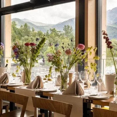 Craft beer & breweriesGwarno Restaurant & Brewery, Zakopane12 km from Wielki Staw PolskiGwarno is a restaurant with its own small brewery at the foot of Gubałówka in Zakopane. It stands on Na Gubałówkę street right next to the lower station of the...
