Czarny Staw Gąsienicowy
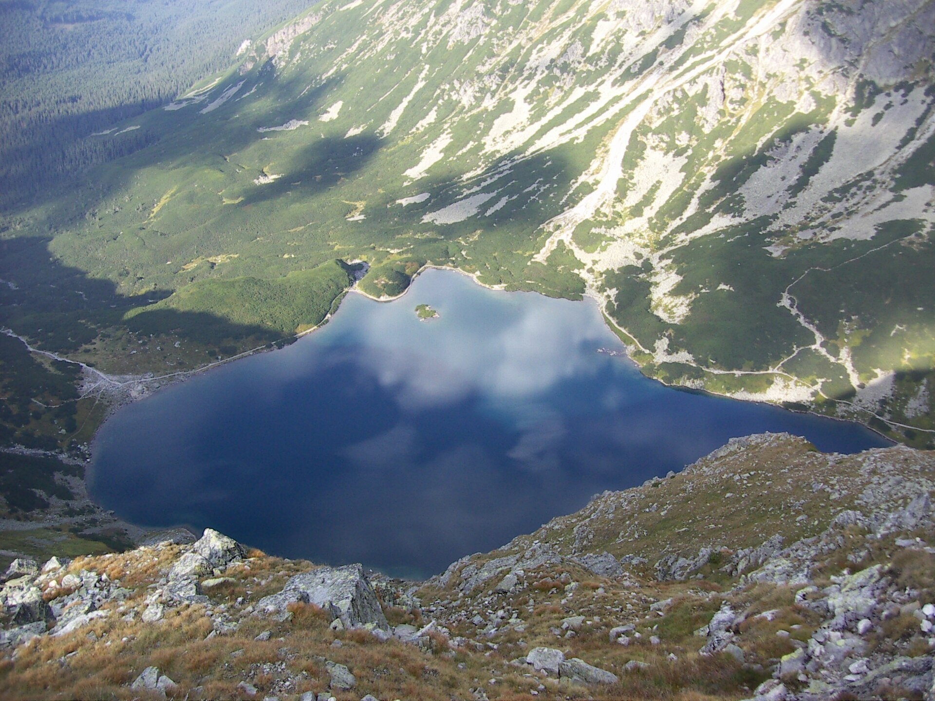
The lake below the “mountain church”
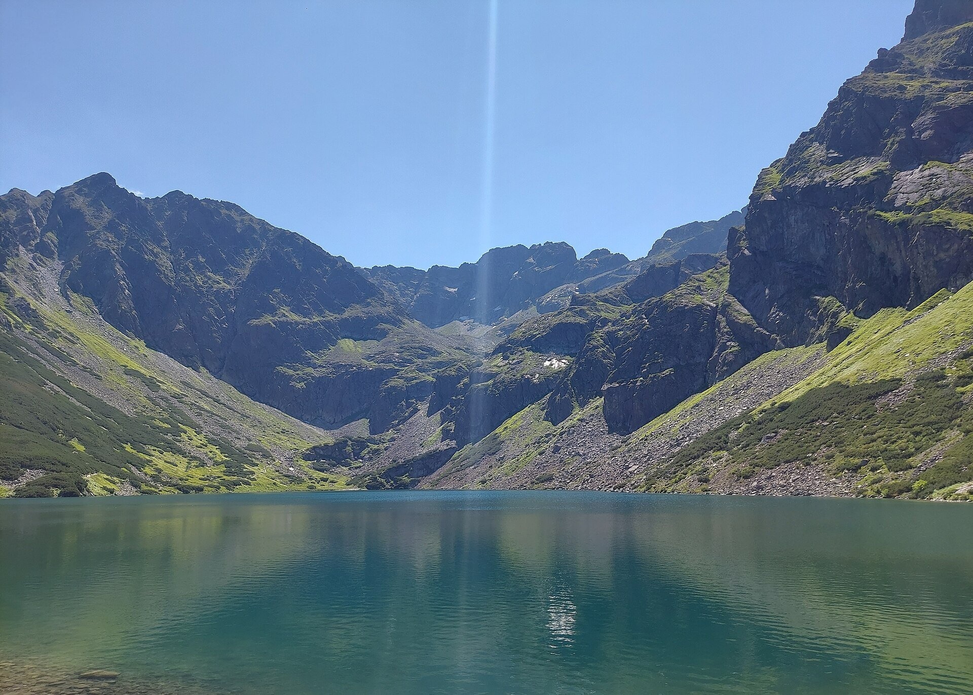
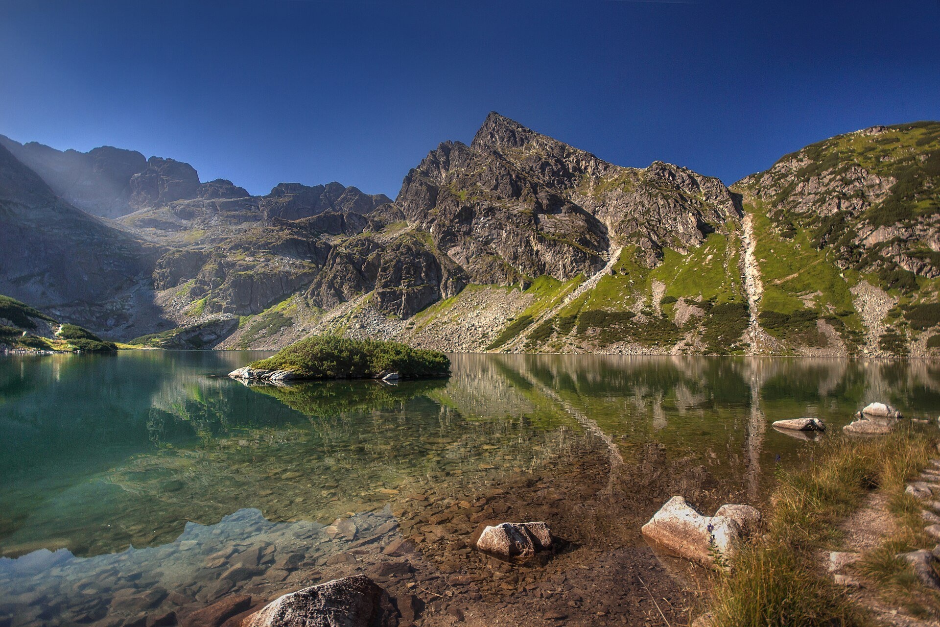
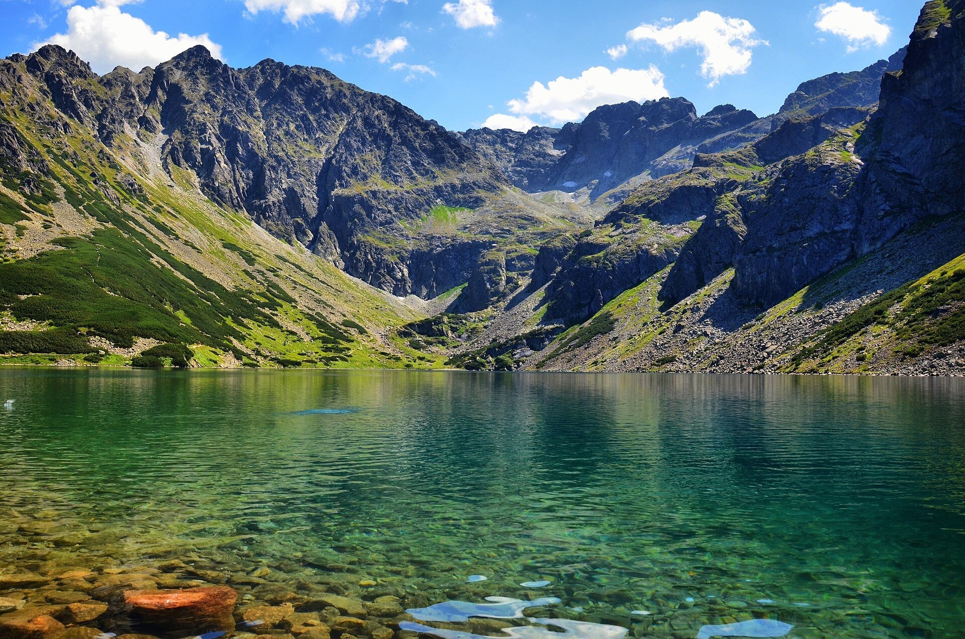
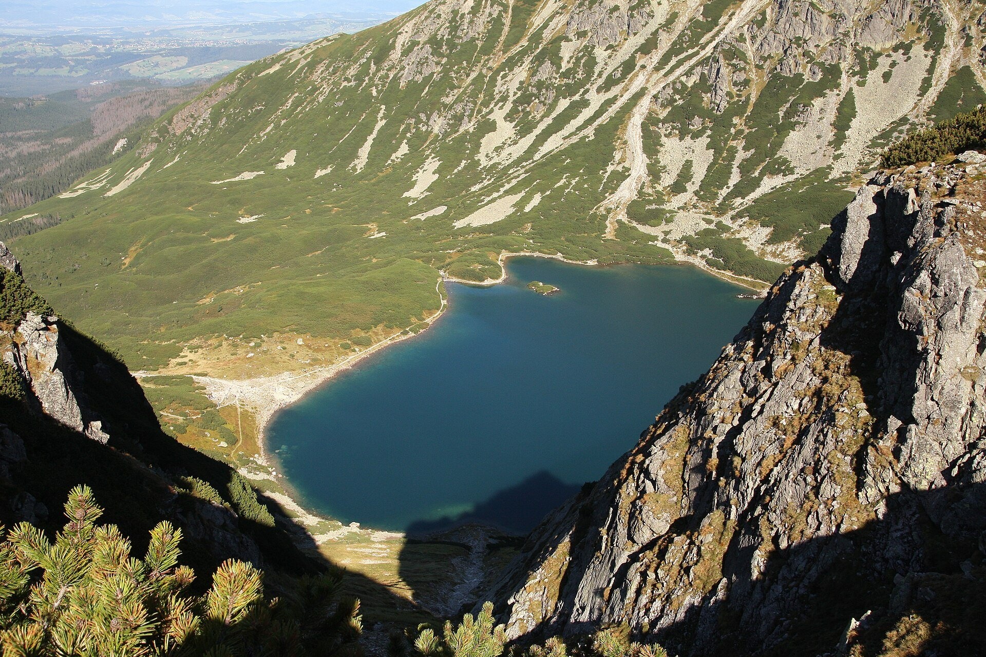
Czarny Staw Gąsienicowy lies in the High Tatras, in a glacial cirque in the eastern part of the Gąsienicowa Valley, at 1,624 m. According to TPN it covers almost 18 ha and is 51 m deep; it is the largest lake in the valley and the fifth largest by area in the Tatras. Steep walls surround the cirque on three sides: above the western shore rises the pointed Kościelec, whose shape reminded early travellers of a church, and beyond it you see Żółta Turnia, the Granaty, Kozi Wierch and Zamarła Turnia. To the north the lake is dammed by a moraine.
The name comes from the dark blue, almost black tint of the water, caused by the shade of the mountains and by cyanobacteria on the shoreline stones. The water is very clear — up to 12 m. Near the north-eastern shore a tiny islet covered in dwarf pine rises from the water; in 1909 there were plans to build a mausoleum for the poet Juliusz Słowacki on it, but the idea was dropped after protests by conservationists. The lake was artificially stocked with fish in 1881. Wojciech Gerson and Leon Wyczółkowski painted it, and Walery Eljasz compared its beauty to Morskie Oko.
What to see
- The view of Kościelec from the northern shore — one of the best-known postcard panoramas of the Polish Tatras.
- Hala Gąsienicowa with its historic shepherds' huts and the PTTK “Murowaniec” hut (1,500 m), built in 1921–1925 of granite boulders, with about 120 beds.
- The memorial stone to Mieczysław Karłowicz on the path from the hut to the lake — the composer died here in an avalanche in February 1909.
- The islet and the clear water near the shore, where you can see the stones on the bottom.
Practical information
Getting there. TPN suggests a loop of about 14 km: start at Brzeziny (1,007 m) on the Oswald Balzer Road, take the black trail up the Sucha Woda Valley for about 2 hours to the Murowaniec hut, then the blue trail to the lake (about 30 minutes up, 20 down), and return via Hala Gąsienicowa, the Przełęcz między Kopami pass and Boczań to Kuźnice on the southern edge of Zakopane. You can also do it in reverse, from Kuźnice. The trails are stony and not suitable for pushchairs, but manageable for fit families with school-age children. Mountain bikes are allowed on the Sucha Woda track to Murowaniec (a difficult route). The Kasprowy Wierch cable car, from which you can also descend into the Gąsienicowa Valley, is out of service from 19 October to 6 November 2026.
Tickets and rules. The TPN ticket costs 11 zł (reduced 5.50 zł); it is easiest to buy online, as mobile coverage in the mountains is patchy. From 1 March to 30 November trails may not be used between dusk and dawn; dogs and drones are banned in TPN. TPN advises against drinking water from lakes and streams.
Safety. Above the lake the trails to Zawrat, the Granaty and Kościelec are high-mountain routes with chains, for experienced hikers only. As of 23 October 2026 TPN reports fresh snow and ice above the tree line. In winter the avalanche danger in the Gąsienicowa Valley is high, and the ice on the lake is unreliable — do not walk on it.
Nearby
- Wielki Staw Polski — on the other side of Kozi Wierch.
- Krupówki — the centre of Zakopane, a convenient base for reaching Kuźnice.
- Tatra Museum — it keeps the bear that fell through the ice of Wielki Staw in 1952.
Official website: tpn.gov.pl
Photos: Drejwen, CC BY 4.0, Wikimedia Commons; Aneta Pawska, CC BY 3.0, Wikimedia Commons; Szymon Soja, CC BY-SA 3.0, Wikimedia Commons; Tomekh10, CC BY-SA 4.0, Wikimedia Commons; R.Mendakiewicz, CC BY-SA 3.0, Wikimedia Commons; Qvidemus, CC BY-SA 3.0 pl, Wikimedia Commons; Andrzej Otrębski, CC BY-SA 4.0, Wikimedia Commons; SkyMaja, CC BY-SA 4.0, Wikimedia Commons.
Getting there from Ukraine
Border crossings
- Krakovets – Korczowa — road, 24/7
- Shehyni – Medyka — road, 24/7 Pedestrian crossing is not confirmed by the Ukrainian border service — check dpsu.gov.ua before the trip.
- Smilnytsia – Krościenko — road, 24/7
- Hrushiv – Budomierz — road, 24/7
- Mostyska – Przemyśl (rail) — rail, 24/7
By car
Lviv – Zakopane ≈421 km, ≈5 h 10 min without border queues. Route: M-10 Lviv – Krakovets → Krakovets – Korczowa checkpoint → A4 motorway (Rzeszów – Tarnów – Kraków) → Kraków southern bypass → S7/DK7 → DK47 ('Zakopianka') via Nowy Targ → Zakopane. The A4 Katowice – Kraków section (Balice and Mysłowice toll plazas) is tolled, but this route does not use it. In summer and at weekends the DK47 near Zakopane is often congested.
Checked 23.10.2026; border crossing hours and timetables change — check before you travel.
Location on the map
Comments
Trails nearby
All trails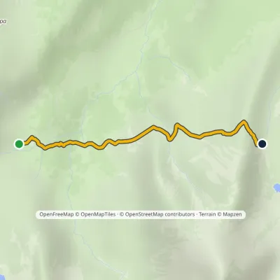 EasyOne-dayMarkedSchronisko PTTK Murowaniec Zadni UpłazElevation profile1 440–1 675 m2.5 kmascent 217 m≈ 1 h walking1.3 km from Czarny Staw Gąsienicowy
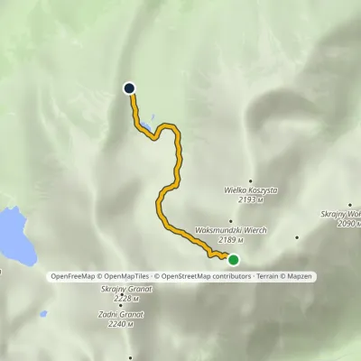 EasyOne-dayMarkedZadni Upłaz KrzyżneElevation profile1 617–2 107 m2.8 km≈ 45 min walking1.4 km from Czarny Staw Gąsienicowy
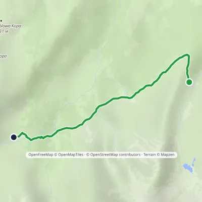 EasyOne-dayMarkedWolarczyska Murowaniec PTTK HutElevation profile1 414–1 566 m2.9 kmascent 75 m≈ 60 min walking1.4 km from Czarny Staw Gąsienicowy
Nearby attractions
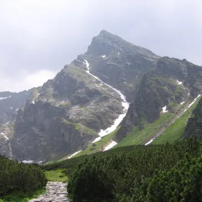 PeakKościelecaltitude 2 155 munder 1 km from Czarny Staw GąsienicowyKościelec is a 2,155 m peak in the High Tatras, in Poland's Dolina Gąsienicowa. It stands on the side ridge of the Kościelce, which runs north from Zawratowa Turnia...
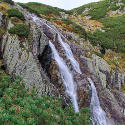 WaterfallWielka Siklawa Waterfall2.6 km from Czarny Staw GąsienicowyWielka Siklawa (also simply Siklawa) is Poland's highest waterfall. The Roztoka stream, flowing out of Wielki Staw Polski, drops here over the rock step between the...
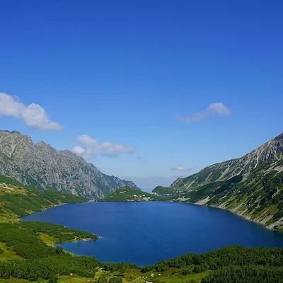 LakeWielki Staw Polski2.9 km from Czarny Staw GąsienicowyWielki Staw Polski (the Great Polish Lake) lies in the High Tatras, in the Valley of the Five Polish Lakes, at 1,665 m, below the slopes of the Miedziane ridge.
Craft nearby
All craft places Cheese dairies & pasturesFurtek's Shepherd's Huts, Kuźnice and Kalatówki5.5 km from Czarny Staw GąsienicowyAbove Kuźnice — the southern edge of Zakopane where most hikes into the Western and High Tatras begin — the flocks are tended by baca Andrzej Staszel, nicknamed "Furtek".
 Cheese dairies & pasturesShepherd's Hut on Rusinowa Polana6.3 km from Czarny Staw GąsienicowyRusinowa Polana is one of the most beautiful mountain glades in the Polish Tatras, and from May to October it is home to the bacówka (shepherd's hut) of baca Stanisław...
 Koliby & Hutsul cuisineBąkowo Zohylina Wyźnio Highland Tavern7.2 km from Czarny Staw GąsienicowyBąkowo Zohylina Wyźnio is a regional highland tavern in Zakopane housed in a wooden "szałas" (shepherd-hut-style building) with a view of the Tatras.
 Water parks & thermal poolsTermy Zakopiańskie (Aqua Park Zakopane)8.1 km from Czarny Staw GąsienicowyTermy Zakopiańskie is a thermal water park right in Zakopane, on Jagiellońska Street, only a kilometre from Krupówki.
 Markets & fairsMarket under Gubałówka9.1 km from Czarny Staw GąsienicowyThe market under Gubałówka (Targ pod Gubałówką) is Zakopane's best-known bazaar and probably the most photographed row of stalls in the Polish Tatras.
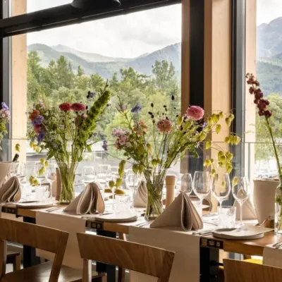 Craft beer & breweriesGwarno Restaurant & Brewery, Zakopane9.2 km from Czarny Staw GąsienicowyGwarno is a restaurant with its own small brewery at the foot of Gubałówka in Zakopane. It stands on Na Gubałówkę street right next to the lower station of the...
