Szpiglasowy Wierch
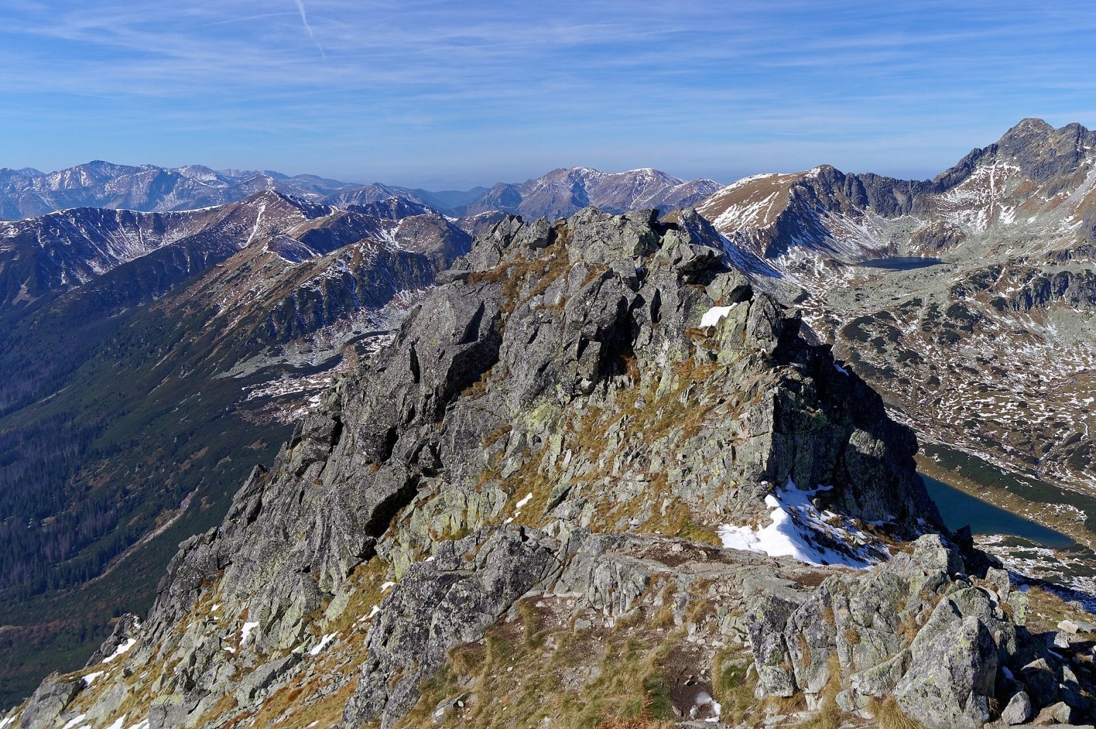
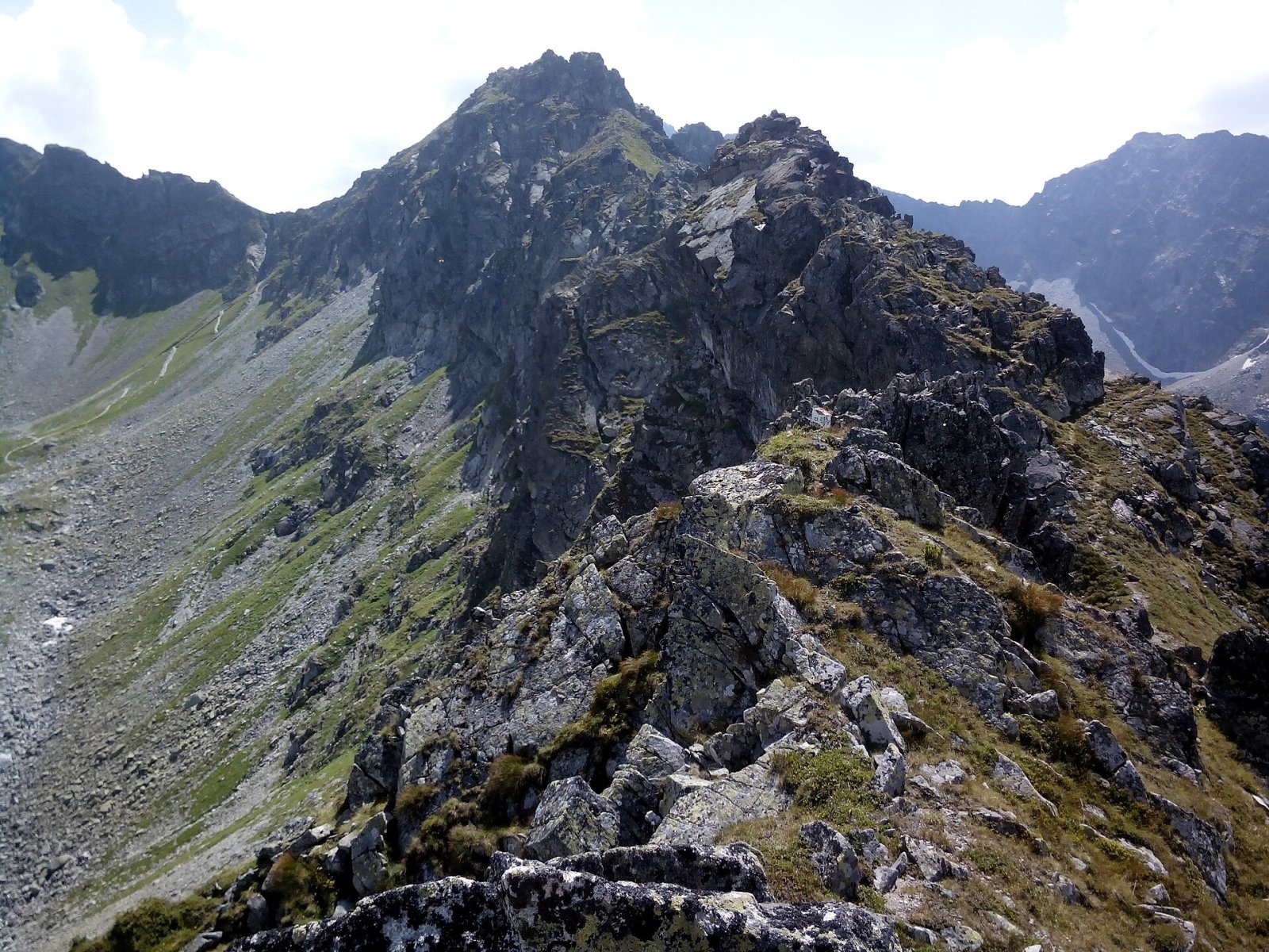
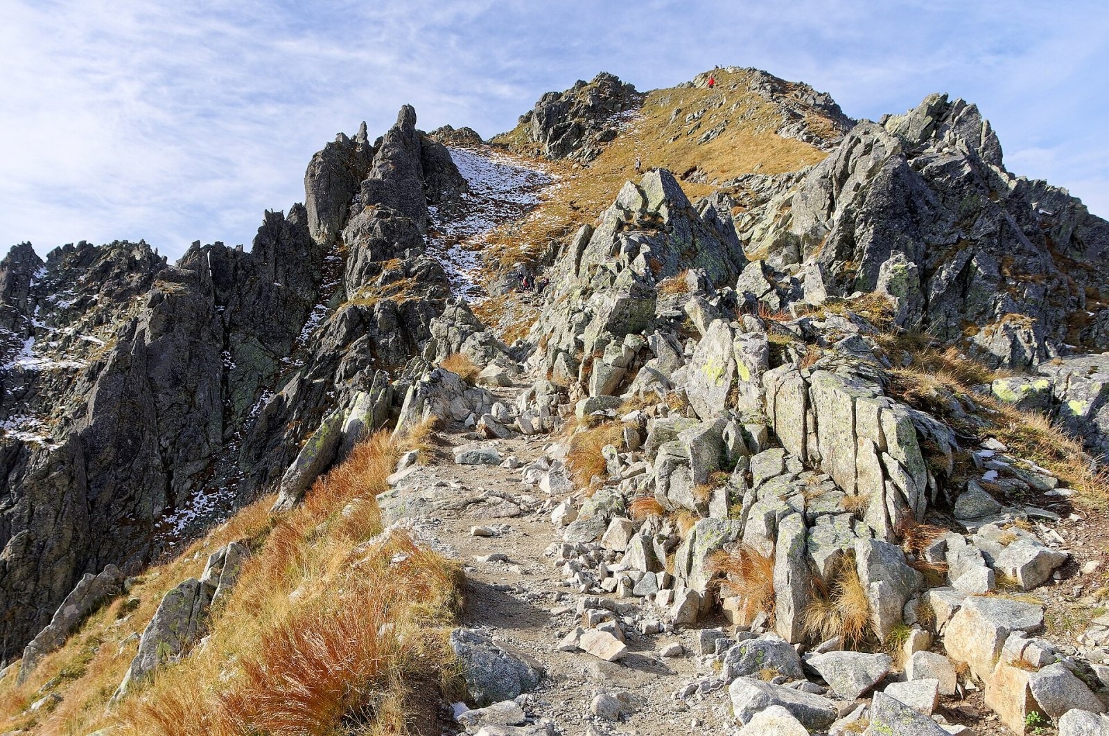
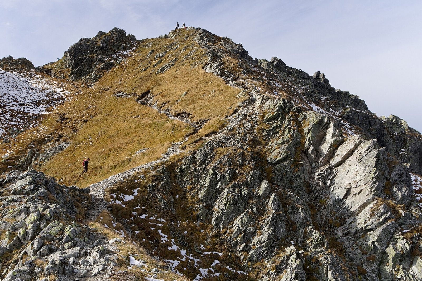
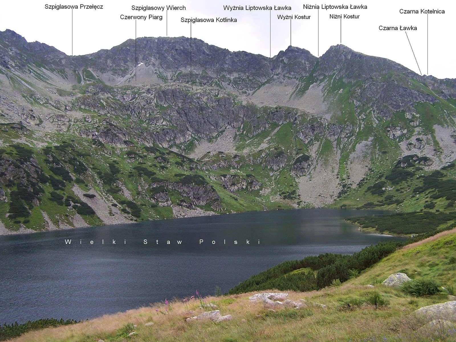
Szpiglasowy Wierch (Slovak: Hrubý štít) is a 2,172 m summit on the main ridge of the High Tatras, on the Polish–Slovak border. It is a broad massif with several tops and the junction of three ridges: the Liptowskie Mury run north-west, the Szpiglasowa Grań south-east towards Wrota Chałubińskiego, and a side ridge with Miedziane and Opalony Wierch branches north-east into Poland. Its north face rises above the Valley of the Five Polish Ponds and Wielki Staw, while the south-western slopes fall into Slovakia's Temnosmrečinská dolina. Morskie Oko lies about 2.3 km to the east in a straight line, Palenica Białczańska about 8 km and Zakopane about 13 km.
How to get there / routes
A short yellow spur climbs to the top from Szpiglasowa Przełęcz (2,110 m) — about 15 minutes. The pass itself is reached by two yellow trails from the Polish side:
- From Morskie Oko via Dolina za Mnichem — the so-called "Ceprostrada", a comfortable built path zigzagging past small tarns with views of Morskie Oko, Rysy and the Mengusovské peaks. About 2 h 15 min up and 1 h 40 min down. This is the easiest approach.
- From the Valley of the Five Polish Ponds — along the Szpiglasowe Perci over the scree of the northern slopes, with a short chained section. From the junction with the blue valley trail it takes about 1 h 30 min up (1 h 10 min down), then about 30 min more to the Five Polish Ponds hut. Snow can lie below the pass even in summer.
The two trails can be combined into a loop from Palenica Białczańska (by the road to Morskie Oko, over the pass into the Five Ponds valley and down past the Siklawa waterfall and the Roztoka valley). The TPN car parks at Palenica Białczańska and Łysa Polana can only be used with an e-ticket bought in advance. There is no marked trail to the summit from the Slovak side.
The view from the summit
Hemmed in by higher neighbours, Szpiglasowy Wierch hardly ever looks dominant, yet it is a superb viewpoint. According to the Slovak Wikipedia description, the panorama takes in the Belianske Tatras, Ľadový and Lomnický štít, Javorový štít, Rysy and Vysoká, Veľký Mengusovský štít and Čubrina, Kôprovský štít, part of the Solisko ridge with Kriváň peeping out behind a ridge, then the Western Tatras and, on the right, Świnica above the Zadni Staw lake. Below lie Wielki Staw and the whole Five Polish Ponds valley. Occasionally even parts of the Low Tatras and Veľká Fatra are visible.
Nature and history
The Polish name comes from the German Spießglanz — stibnite, an antimony ore mined at the local Szpiglas mine in the second half of the 18th century. The name Szpiglasowy Wierch was introduced in 1951 by the Tatra scholar Witold Henryk Paryski; earlier the peak was called Hruby Wierch, Gruby, Liptowskie Mury or Miedziane. The Slovak name Hrubý štít ("thick peak") reflects the bulky shape of the massif, while the German and Hungarian names recall the old boundary of the historical Liptov region.
Local highlanders knew the paths to the top in the 19th century, and even earlier, around 1800, Christian Genersich, a professor from Kežmarok, described the view from it. The first recorded ascent was by Zygmunt Klemensiewicz on 20 August 1905, the first winter ascent by Adam Karpiński and Wilhelm Smoluchowski on 8 April 1925. The northern slopes feature the large Czerwony Piarg scree and the Szpiglasowa Kotlinka hollow. Marmots and chamois visit the summit.
Safety, season and rules
Szpiglasowy Wierch is one of the most accessible 2,000-metre peaks of the Polish Tatras, but it is still high mountain terrain: the weather changes fast, and the snowfields below the pass on the Five Ponds side last long and get slippery in the cold. After snowfall and in frost even the Ceprostrada calls for crampons and experience; in winter the slopes are avalanche-prone. Do not stay on the ridge in a thunderstorm.
- Entry to Tatra National Park is paid (since 2025: 11 PLN, reduced 5.50 PLN).
- From 1 March to 30 November all park trails are closed from dusk to dawn; from 1 December to the end of February, from 22:00 to 05:00.
- The blue trail from the Five Polish Ponds valley over Świstówka Roztocka to Morskie Oko is closed from 1 December to 15 May.
- Stay on marked trails; dogs and drones are not allowed.
- Emergency numbers: TOPR 985 or +48 601 100 300, and 112. For current conditions see the daily TPN bulletin.
Interesting facts
- Szpiglasowy Wierch is a junction peak where three ridges meet, and the state border runs right over the summit.
- In the 1930s there were plans to extend the Ceprostrada from Szpiglasowy Wierch to Świnica, but the environmentally damaging project was never carried out.
Photos: Jakub Hałun, CC BY-SA 4.0; Jerzy Opioła, CC BY-SA 4.0; Jakub Hałun, CC BY-SA 4.0; Jakub Hałun, CC BY-SA 4.0; Jerzy Opioła, CC BY-SA 4.0; Adam Opioła, CC BY-SA 4.0 — Wikimedia Commons.
Getting there from Ukraine
Border crossings
- Krakovets – Korczowa — road, 24/7
- Shehyni – Medyka — road, 24/7 Pedestrian crossing is not confirmed by the Ukrainian border service — check dpsu.gov.ua before the trip.
- Smilnytsia – Krościenko — road, 24/7
- Hrushiv – Budomierz — road, 24/7
- Mostyska – Przemyśl (rail) — rail, 24/7
By car
Lviv – Zakopane ≈421 km, ≈5 h 10 min without border queues. Route: M-10 Lviv – Krakovets → Krakovets – Korczowa checkpoint → A4 motorway (Rzeszów – Tarnów – Kraków) → Kraków southern bypass → S7/DK7 → DK47 ('Zakopianka') via Nowy Targ → Zakopane. The A4 Katowice – Kraków section (Balice and Mysłowice toll plazas) is tolled, but this route does not use it. In summer and at weekends the DK47 near Zakopane is often congested.
Checked 23.10.2026; border crossing hours and timetables change — check before you travel.
Location on the map
Comments
Trails nearby
All trails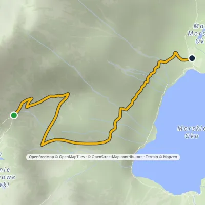 EasyOne-dayMarkedPod Mnichem Junction to Szpiglasowa PassElevation profile1 409–1 794 m2.3 km≈ 30 min walking1.1 km from Szpiglasowy Wierch
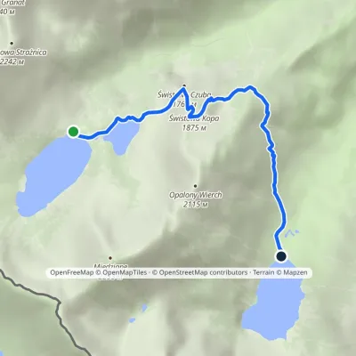 EasyOne-dayMarkedHut in the Valley of Five Lakes Hut at Morskie OkoElevation profile1 398–1 853 m4.6 kmascent 177 m≈ 1.5 h walking1.6 km from Szpiglasowy Wierch
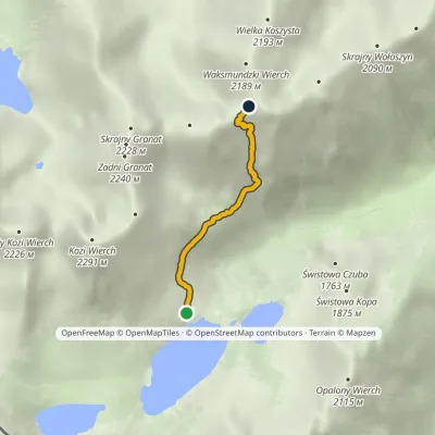 EasyOne-dayMarkedKrzyżne Zagon NiżniElevation profile1 674–2 107 m2.6 kmascent 457 m≈ 1.5 h walking1.7 km from Szpiglasowy Wierch
Nearby attractions
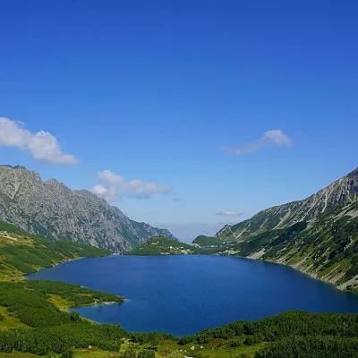 LakeWielki Staw Polski1.3 km from Szpiglasowy WierchWielki Staw Polski (the Great Polish Lake) lies in the High Tatras, in the Valley of the Five Polish Lakes, at 1,665 m, below the slopes of the Miedziane ridge.
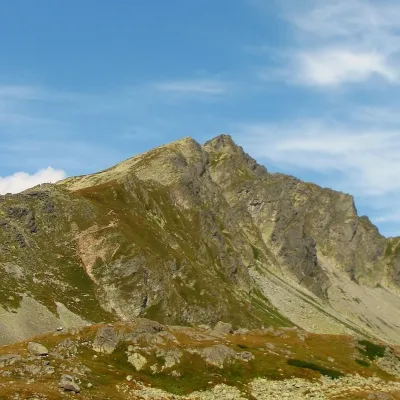 PeakKôprovský štítaltitude 2 363 m1.8 km from Szpiglasowy WierchKôprovský štít (Polish Koprowy Wierch, German Dillenspitze) is a prominent High Tatras peak in Slovakia, 2363 m high according to Slovak data (Polish and German...
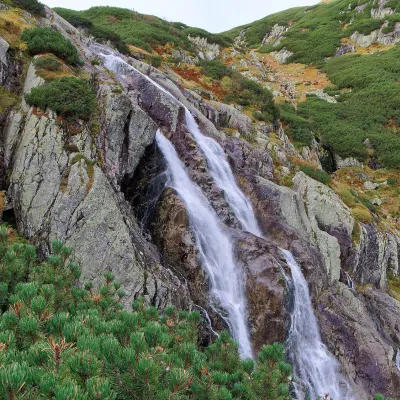 WaterfallWielka Siklawa Waterfall1.9 km from Szpiglasowy WierchWielka Siklawa (also simply Siklawa) is Poland's highest waterfall. The Roztoka stream, flowing out of Wielki Staw Polski, drops here over the rock step between the...
Craft nearby
All craft places Cheese dairies & pasturesShepherd's Hut on Rusinowa Polana8.2 km from Szpiglasowy WierchRusinowa Polana is one of the most beautiful mountain glades in the Polish Tatras, and from May to October it is home to the bacówka (shepherd's hut) of baca Stanisław...
 Cheese dairies & pasturesFurtek's Shepherd's Huts, Kuźnice and Kalatówki9.6 km from Szpiglasowy WierchAbove Kuźnice — the southern edge of Zakopane where most hikes into the Western and High Tatras begin — the flocks are tended by baca Andrzej Staszel, nicknamed "Furtek".
 Koliby & Hutsul cuisineBąkowo Zohylina Wyźnio Highland Tavern11 km from Szpiglasowy WierchBąkowo Zohylina Wyźnio is a regional highland tavern in Zakopane housed in a wooden "szałas" (shepherd-hut-style building) with a view of the Tatras.
 Water parks & thermal poolsTermy Zakopiańskie (Aqua Park Zakopane)12 km from Szpiglasowy WierchTermy Zakopiańskie is a thermal water park right in Zakopane, on Jagiellońska Street, only a kilometre from Krupówki.
 Markets & fairsMarket under Gubałówka13 km from Szpiglasowy WierchThe market under Gubałówka (Targ pod Gubałówką) is Zakopane's best-known bazaar and probably the most photographed row of stalls in the Polish Tatras.
 Craft beer & breweriesGwarno Restaurant & Brewery, Zakopane13 km from Szpiglasowy WierchGwarno is a restaurant with its own small brewery at the foot of Gubałówka in Zakopane. It stands on Na Gubałówkę street right next to the lower station of the...
