Kôprovský štít
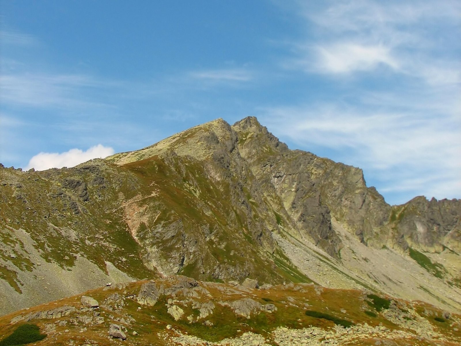
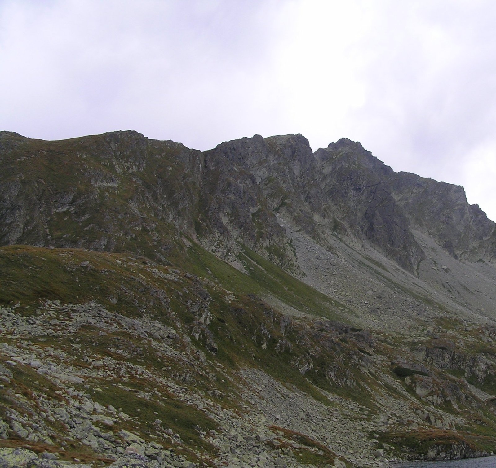
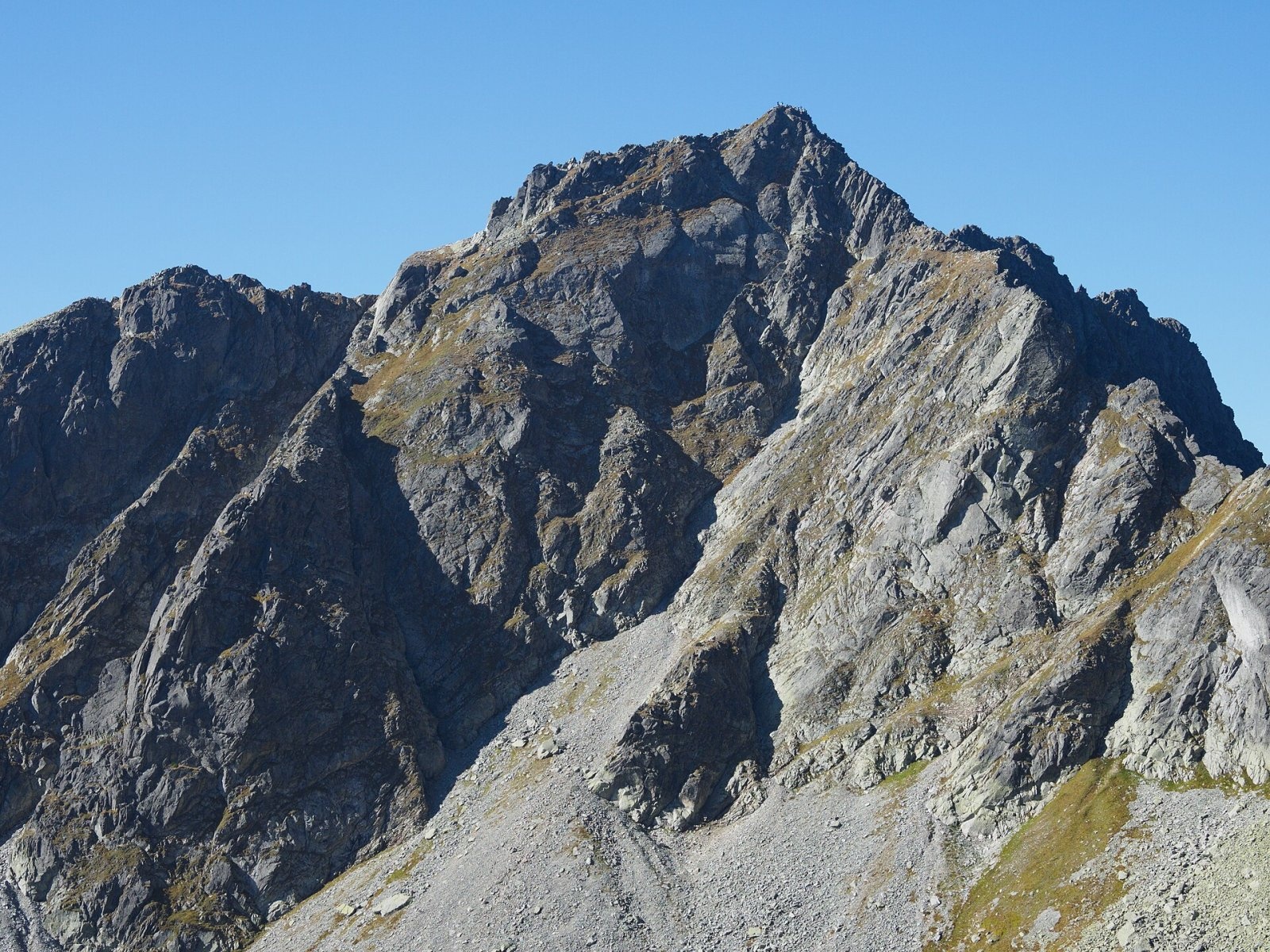
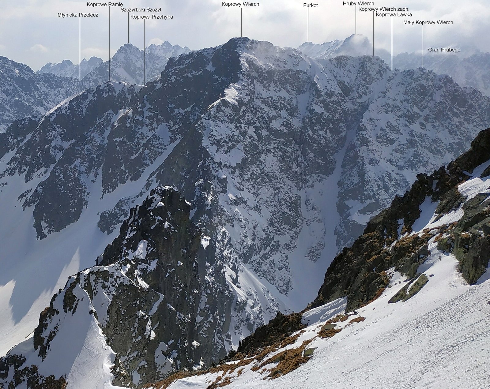
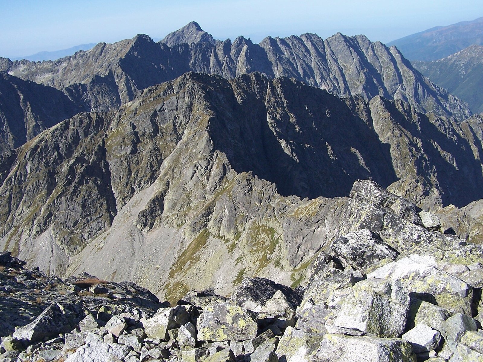
Kôprovský štít (Polish Koprowy Wierch, German Dillenspitze) is a prominent High Tatras peak in Slovakia, 2363 m high according to Slovak data (Polish and German sources give 2366–2367 m). It stands on the Kriváň spur, which runs south-west from the border peak of Čubrina, above Štrbské Pleso (about 7 km to the south) and some 20 km north-west of Poprad. Directly below its eastern walls, in Hincova kotlina, lies Veľké Hincovo pleso, and to the north-west Vyšné Temnosmrečinské pleso.
Kôprovský štít is a junction peak with two tops about 150 m apart; the eastern one is some 20 m higher. A side ridge about 2.5 km long, Prostredný chrbát, runs north-west from here, dividing Hlinská and Temnosmrečinská dolina. The ridge is a watershed: from the eastern slopes water flows via the Hincov potok to the Poprad and on to the Baltic, while from the northern and south-western slopes it drains via the Kôprovský and Hlinský streams to the Belá and the Váh, i.e. to the Black Sea.
How to get there / routes
A marked trail leads to the top, so no guide is needed. All routes pass the Vyšné Kôprovské sedlo saddle, from where a red trail climbs to the summit – about 30 min up and 20 min down.
- From Štrbské Pleso (the most popular and shortest option) – to Popradské pleso, then on the blue trail up Mengusovská dolina past Veľké Hincovo pleso to the saddle. Polish sources give about 4 h 20 min from the car park to the summit, about 1130 m of height gain and 3 h 25 min down. Popradské pleso can also be reached from the "Popradské Pleso" stop of the Tatra Electric Railway.
- From Tri studničky – through Kôprová and Hlinská dolina on the blue trail: about 5 h 35 min, about 1420 m of height gain, 4 h 25 min down.
- From Podbanské – through the same valleys: about 6 h 15 min, over 1500 m of height gain, 5 h down.
The traverse along the Prostredný chrbát ridge is technically easy, but under TANAP rules it is open only to registered climbers.
The view from the summit
Kôprovský štít is known for its wide panorama over the Polish and Slovak High Tatras. Many peaks and valleys of the range are in view – among them Kriváň to the west, Rysy and Vysoká to the east and Svinica to the north – and in good visibility also part of the Volovské vrchy, the Spiš-Gemer Karst and the Orava Beskids. Below lie the Mengusovská, Hlinská and Temnosmrečinská valleys with their tarns.
Nature and history
Above Hincova kotlina the mountain forms an east face about 250 m high, and the north face of similar height drops into Piarżysta dolina, at whose foot lies one of the largest scree cones in the Tatras. The rock is brittle, so climbers rarely come here. The boundary between the Mengusovská dolina and Kôprová dolina national nature reserves runs along the ridge.
The date of the first ascent is unknown: chamois hunters visited the summit long ago. The Polish writer Kazimierz Tetmajer is known to have climbed it between 1881 and 1896, and the famous guide Klemens Bachleda around 1890. The first winter ascent was made on 18 March 1906 by E. Baur and Alfred Martin.
Safety, season and rules
- The trail lies in the high-mountain zone of the Tatra National Park (TANAP) and is open only from 1 June to 31 October; the seasonal closure applies from 1 November to 31 May. Hiking is allowed only in daylight and only on marked trails. Details on the TANAP website.
- The climb from the saddle is easy, but the whole route is long and alpine: plan a full day, bring warm clothes and water, and stay with the waymarks in fog. In summer start early because of possible afternoon thunderstorms.
- Rescue: Mountain Rescue Service HZS – 18 300 (+421 18 300), general emergency number 112.
Interesting facts
- The summit sits on a divide between two seas: the Hincov potok carries water to the Baltic, the Kôprovský potok to the Black Sea.
- Veľké Hincovo pleso below the peak is the largest lake on the Slovak side of the High Tatras.
Photos: Gower, CC BY-SA 3.0; Czech Wikipedia user Dominos, Public domain; Rafał Kozubek, CC BY-SA 4.0; Adam Opioła, CC BY-SA 4.0; Adam Opioła, CC BY-SA 4.0; Rafał Kozubek, CC BY-SA 3.0 — Wikimedia Commons.
Getting there from Ukraine
Border crossings
- Uzhhorod – Vyšné Nemecké — road, 24/7
- Malyi Bereznyi – Ubľa — road, 24/7 For cars and buses; pedestrians not confirmed by the Ukrainian border service, lorries up to 3.5 t.
- Mali Selmentsi – Veľké Slemence (pedestrian) — pedestrian, 09:00–21:00 Kyiv time Pedestrians and cyclists only; inconvenient for the Tatras without onward transport.
- Chop – Čierna nad Tisou (rail) — rail, 24/7
By car
Uzhhorod – Poprad ≈195 km, ≈2 h 55 min without queues: Uzhhorod – Vyšné Nemecké checkpoint → I/19 via Sobrance and Michalovce → Košice → D1 motorway via Prešov → Poprad (Liptovský Mikuláš is ≈56 km further on the D1, total ≈249 km). Košice – Poprad ≈112 km. The D1 requires an e-vignette (eznamka.sk). Note: from Lviv the fastest way to Poprad is through Poland — Krakovets – A4 – Kraków – Zakopane – Łysa Polana ≈468 km (≈5 h 50 min); via Uzhok and Malyi Bereznyi ≈419 km but slower (≈6 h 40 min). Zakopane – Poprad ≈69 km, Zakopane – Liptovský Mikuláš ≈80 km.
Checked 23.10.2026; border crossing hours and timetables change — check before you travel.
Location on the map
Comments
Trails nearby
All trails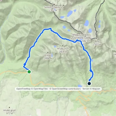 HardTwo-dayMarkedTri studničky, old forester's lodge Popradské Pleso, stopElevation profile1 105–2 142 m21.4 kmascent 1 129 m≈ 7.5 h walkingunder 1 km from Kôprovský štít
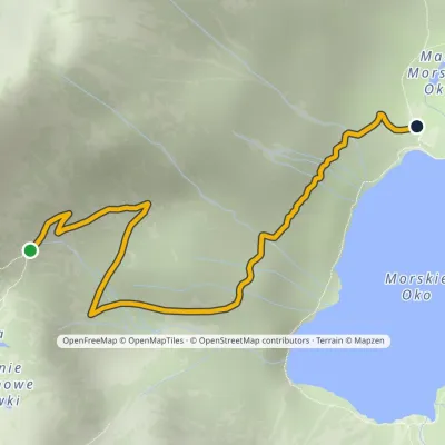 EasyOne-dayMarkedPod Mnichem Junction to Szpiglasowa PassElevation profile1 409–1 794 m2.3 km≈ 30 min walking1.7 km from Kôprovský štít
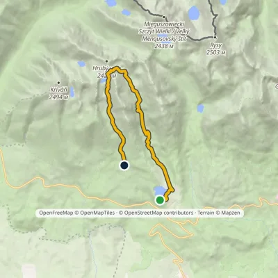 ModerateOne-dayMarkedŠtrbské Pleso Junction below Furkotská ValleyElevation profile1 349–2 298 m12.4 kmascent 924 m≈ 5 h walking1.9 km from Kôprovský štít
Nearby attractions
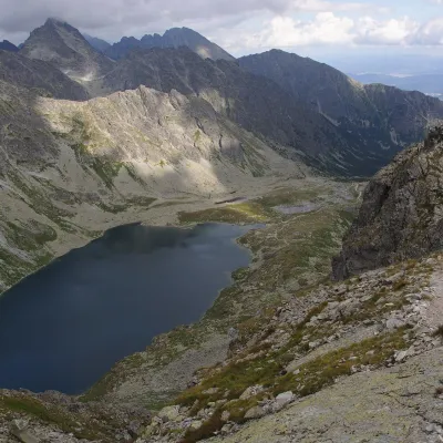 LakeVeľké Hincovo plesounder 1 km from Kôprovský štítVeľké Hincovo pleso is the largest and deepest glacial lake in the Slovak part of the Tatras and in all of Slovakia.
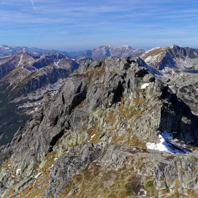 PeakSzpiglasowy Wierchaltitude 2 172 m1.8 km from Kôprovský štítSzpiglasowy Wierch (Slovak: Hrubý štít) is a 2,172 m summit on the main ridge of the High Tatras, on the Polish–Slovak border.
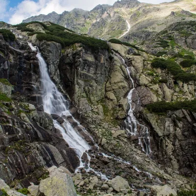 WaterfallSkok Waterfall3.3 km from Kôprovský štítSkok (Vodopád Skok) is one of the most beautiful waterfalls of the Slovak Tatras. Here the Mlynica stream drops over a rock step that blocks the middle part of the...
Craft nearby
All craft places Cheese dairies & pasturesShepherd's Hut on Rusinowa Polana9.5 km from Kôprovský štítRusinowa Polana is one of the most beautiful mountain glades in the Polish Tatras, and from May to October it is home to the bacówka (shepherd's hut) of baca Stanisław...
 Cheese dairies & pasturesFurtek's Shepherd's Huts, Kuźnice and Kalatówki11 km from Kôprovský štítAbove Kuźnice — the southern edge of Zakopane where most hikes into the Western and High Tatras begin — the flocks are tended by baca Andrzej Staszel, nicknamed "Furtek".
 Koliby & Hutsul cuisineBąkowo Zohylina Wyźnio Highland Tavern13 km from Kôprovský štítBąkowo Zohylina Wyźnio is a regional highland tavern in Zakopane housed in a wooden "szałas" (shepherd-hut-style building) with a view of the Tatras.
 Horse ridingKone vo Východnej: horse rides below the Tatras14 km from Kôprovský štítKone vo Východnej (“Horses in Východná”) is a small family horse farm on the meadows above the village of Východná in upper Liptov, with a sweeping view of the High...
 Water parks & thermal poolsTermy Zakopiańskie (Aqua Park Zakopane)14 km from Kôprovský štítTermy Zakopiańskie is a thermal water park right in Zakopane, on Jagiellońska Street, only a kilometre from Krupówki.
 Markets & fairsMarket under Gubałówka15 km from Kôprovský štítThe market under Gubałówka (Targ pod Gubałówką) is Zakopane's best-known bazaar and probably the most photographed row of stalls in the Polish Tatras.
