Kriváň
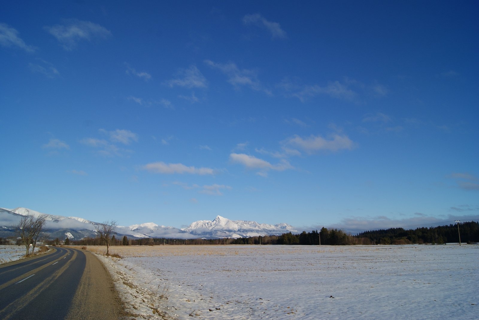
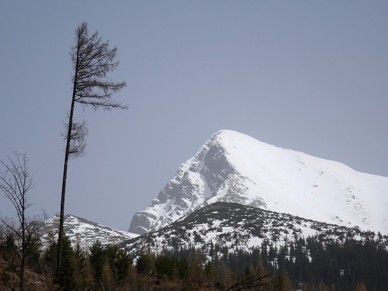
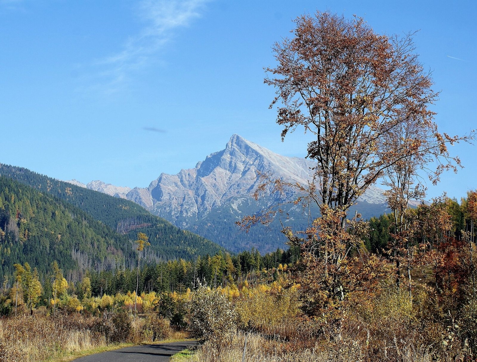
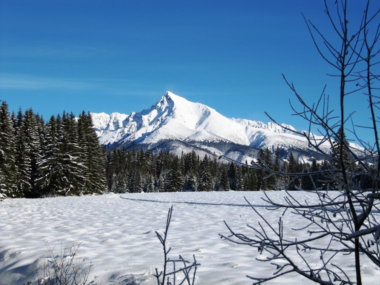
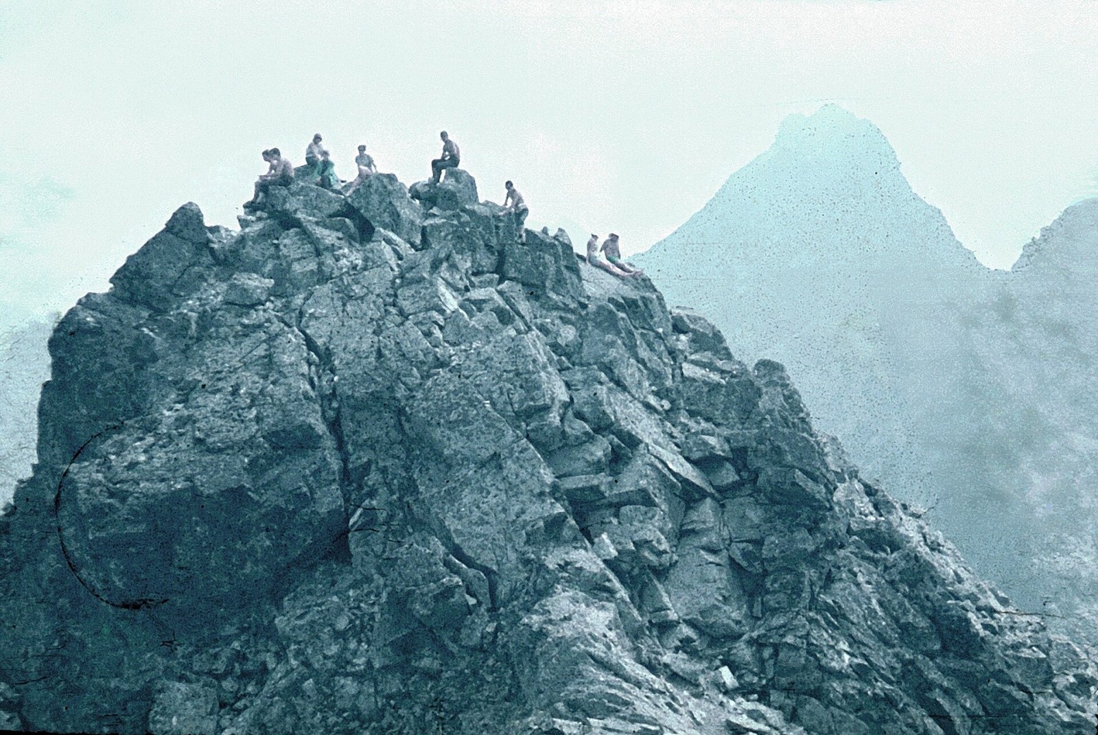
Kriváň (Polish Krywań) is a 2495 m peak (precisely 2494.7 m) in the south-western part of the High Tatras in Slovakia. It closes a long side spur, about 10 km long, that branches off the main ridge at Čubrina, and towers over the Kôprová and Važecká valleys and the Nefcerka valley. The nearest settlements are Podbanské (about 7 km south-west) and Štrbské Pleso (about 7 km south-east). Kriváň rises some 1300–1400 m above the floor of Kôprová dolina – the greatest base-to-summit drop in the whole Tatras. Polls have repeatedly named it Slovakia's most beautiful mountain.
The name comes from the root kriv-, "bent, crooked": seen from the west or south, the sharp tip visibly leans to the north-east. After Rysy, it is the second-highest Tatra summit reached by marked trails.
How to get there / routes
Three marked routes lead to the top. All of them meet at about 2145 m, leaving some 350 m of steep, rocky ascent – the only section where you may need your hands here and there.
- Blue trail – from the Biely Váh stop on the Štrbské Pleso – Pribylina road, past Jamské pleso, along Pavlov chrbát and over Daxnerovo sedlo. Height gain about 1300 m, about 5 h up and 3 h 45 min down.
- Green trail – from Tri studničky along a forested ridge over Grúnik; below the summit it joins the blue trail. Height gain about 1360 m, about 4 h 45 min up and 3 h 45 min down.
- From Štrbské Pleso – on the red Tatranská magistrála to Jamské pleso, then on the blue trail. Height gain about 1150 m, about 5 h 10 min up and 4 h down.
The old winding road built by miners for ore carts is not marked, and the national park has made it off limits.
The view from the summit
The 360° view from Kriváň is regarded as one of the best in Slovakia. You can see the populated valleys of upper Liptov and Spiš, distant parts of Polish Podhale, the steep drops of the north face and many famous Tatra peaks – Giewont above Zakopane, Rysy, Lomnický štít and Gerlach. The Western and Low Tatras frame the scene, and in good visibility the ranges beyond them too. Close by to the east rise Furkotský štít, the Solisko peaks and Hrubý vrch.
Nature and history
The mountain is built of crystalline rocks, mainly granite, and its walls reach 500 m in height. Below the eastern faces, at 2017 m in Važecká dolina, lies Krivánske Zelené pleso, the source of the Biely Váh river. Snow lies on the summit for up to six and a half months a year.
From the 15th century people prospected for gold and antimony ore on Kriváň's slopes; the highest adit, Terézia, was cut only 50–60 m below the summit, and the remains of the miners' stone huts survive at about 2000 m. Mining never paid off and stopped in the 18th century. Until 1793 Kriváň was considered the highest peak of the Tatras, when Robert Townson showed that Lomnický štít was higher. The first documented ascent was made by pastor Andreas Jonas Czirbes in 1772 or 1773; King Frederick Augustus II of Saxony reached the top in 1840, and the first winter ascent took place on 12 April 1884 (Jakob Horvay and Theodor Wundt).
On 16 August 1841 Ľudovít Štúr and friends climbed Kriváň – the first recorded ascent that included women. Since then the mountain has symbolised the Slovak national revival and Slavic unity, and "national ascents" of Kriváň still take place every year on the third weekend of August, with a limit of 300 people on the summit per day.
Safety, season and rules
- The Kriváň trails lie in the high-mountain zone of the Tatra National Park (TANAP) and are closed from 1 November to 31 May; hiking is allowed only in daylight and only on marked trails. Current restrictions are on the TANAP website.
- The last 350 m cross steep, rocky ground that needs good boots and sure footing; in wet weather or snow this section is dangerous. In summer watch out for afternoon thunderstorms and start early.
- Rescue: Mountain Rescue Service HZS – 18 300 (+421 18 300), general emergency number 112.
Interesting facts
- Kriváň appears on Slovakia's 1, 2 and 5 euro-cent coins; in 1960–1990 it was also part of the Slovak emblem within the Czechoslovak coat of arms.
- Nikolai Gogol set the key legend of his story "A Terrible Vengeance" (1832), about the Cossack brothers Ivan and Petro, on Kriváň.
- The asteroid (24260) Kriváň is named after the mountain.
Photos: Matissek, CC BY-SA 3.0; Ing. Mgr. Jozef Kotulič, CC BY 4.0; PhDr. Pavol Svetoň, CC BY-SA 4.0; Gilbinko, CC BY-SA 4.0; Dguendel, CC BY 4.0; MarkBA, CC BY-SA 4.0; Mateusz Giełczyński, CC BY-SA 3.0 — Wikimedia Commons.
Getting there from Ukraine
Border crossings
- Uzhhorod – Vyšné Nemecké — road, 24/7
- Malyi Bereznyi – Ubľa — road, 24/7 For cars and buses; pedestrians not confirmed by the Ukrainian border service, lorries up to 3.5 t.
- Mali Selmentsi – Veľké Slemence (pedestrian) — pedestrian, 09:00–21:00 Kyiv time Pedestrians and cyclists only; inconvenient for the Tatras without onward transport.
- Chop – Čierna nad Tisou (rail) — rail, 24/7
By car
Uzhhorod – Poprad ≈195 km, ≈2 h 55 min without queues: Uzhhorod – Vyšné Nemecké checkpoint → I/19 via Sobrance and Michalovce → Košice → D1 motorway via Prešov → Poprad (Liptovský Mikuláš is ≈56 km further on the D1, total ≈249 km). Košice – Poprad ≈112 km. The D1 requires an e-vignette (eznamka.sk). Note: from Lviv the fastest way to Poprad is through Poland — Krakovets – A4 – Kraków – Zakopane – Łysa Polana ≈468 km (≈5 h 50 min); via Uzhok and Malyi Bereznyi ≈419 km but slower (≈6 h 40 min). Zakopane – Poprad ≈69 km, Zakopane – Liptovský Mikuláš ≈80 km.
Checked 23.10.2026; border crossing hours and timetables change — check before you travel.
Location on the map
Comments
Trails nearby
All trails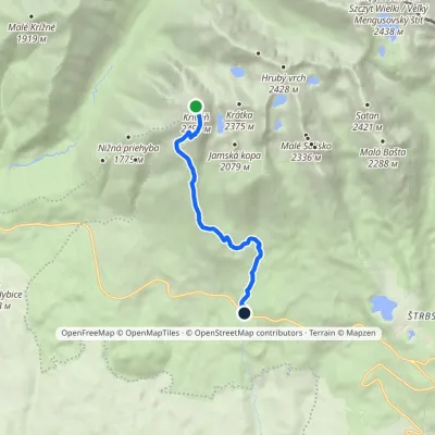 EasyOne-dayMarkedBiely Váh KriváňElevation profile1 209–2 410 m7.2 km≈ 2 h walkingunder 1 km from Kriváň
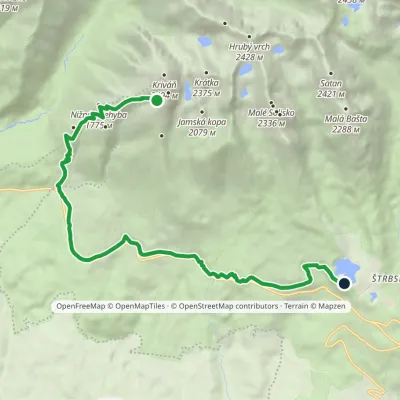 ModerateOne-dayMarkedŠtrbské Pleso, Solisko Sanatorium Junction in Krivánsky GullyElevation profile1 137–2 122 m14.7 kmascent 207 m≈ 4 h walkingunder 1 km from Kriváň
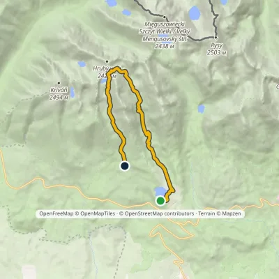 ModerateOne-dayMarkedŠtrbské Pleso Junction below Furkotská ValleyElevation profile1 349–2 298 m12.4 kmascent 924 m≈ 5 h walking2 km from Kriváň
Nearby attractions
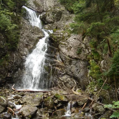 WaterfallKmeťov Waterfall in Kôprová Valley1.9 km from KriváňKmeťov waterfall (Kmeťov vodopád) is a powerful two-step waterfall in the Kôprová dolina valley in the western High Tatras.
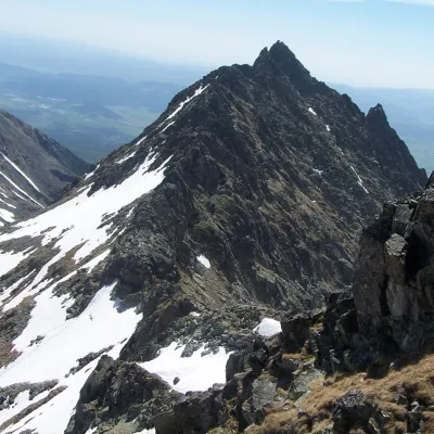 PeakVeľké Soliskoaltitude 2 412 m2.3 km from KriváňVeľké Solisko (Polish: Wielkie Solisko) is a 2,412 m peak in the Slovak High Tatras and the highest point of the Solisko ridge.
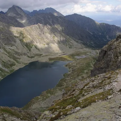 LakeVeľké Hincovo pleso4.7 km from KriváňVeľké Hincovo pleso is the largest and deepest glacial lake in the Slovak part of the Tatras and in all of Slovakia.
Craft nearby
All craft places Horse ridingKone vo Východnej: horse rides below the Tatras9.8 km from KriváňKone vo Východnej (“Horses in Východná”) is a small family horse farm on the meadows above the village of Východná in upper Liptov, with a sweeping view of the High...
 Cheese dairies & pasturesFurtek's Shepherd's Huts, Kuźnice and Kalatówki12 km from KriváňAbove Kuźnice — the southern edge of Zakopane where most hikes into the Western and High Tatras begin — the flocks are tended by baca Andrzej Staszel, nicknamed "Furtek".
 Cheese dairies & pasturesShepherd's Hut on Rusinowa Polana13 km from KriváňRusinowa Polana is one of the most beautiful mountain glades in the Polish Tatras, and from May to October it is home to the bacówka (shepherd's hut) of baca Stanisław...
 Eco farmsFarma Východná — organic farm below the Tatras13 km from KriváňFarma Východná is the highest-lying organic farm in Liptov, at 930 m in the village of Východná right below the Tatras.
 Koliby & Hutsul cuisineBąkowo Zohylina Wyźnio Highland Tavern14 km from KriváňBąkowo Zohylina Wyźnio is a regional highland tavern in Zakopane housed in a wooden "szałas" (shepherd-hut-style building) with a view of the Tatras.
 Water parks & thermal poolsTermy Zakopiańskie (Aqua Park Zakopane)15 km from KriváňTermy Zakopiańskie is a thermal water park right in Zakopane, on Jagiellońska Street, only a kilometre from Krupówki.
