Kmeťov Waterfall in Kôprová Valley
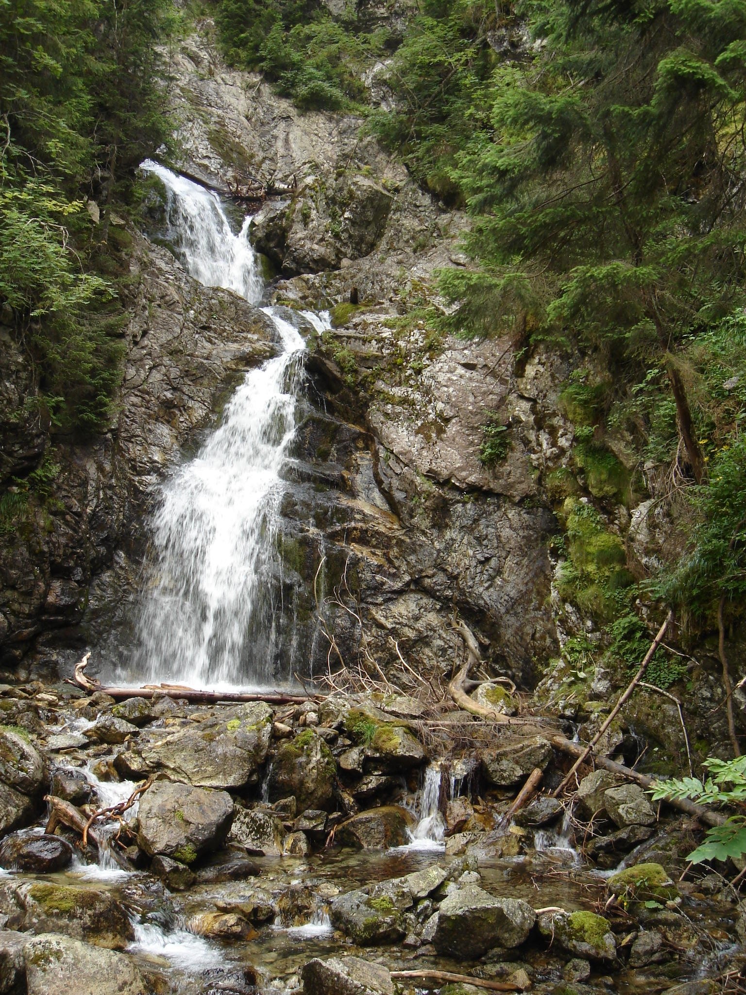
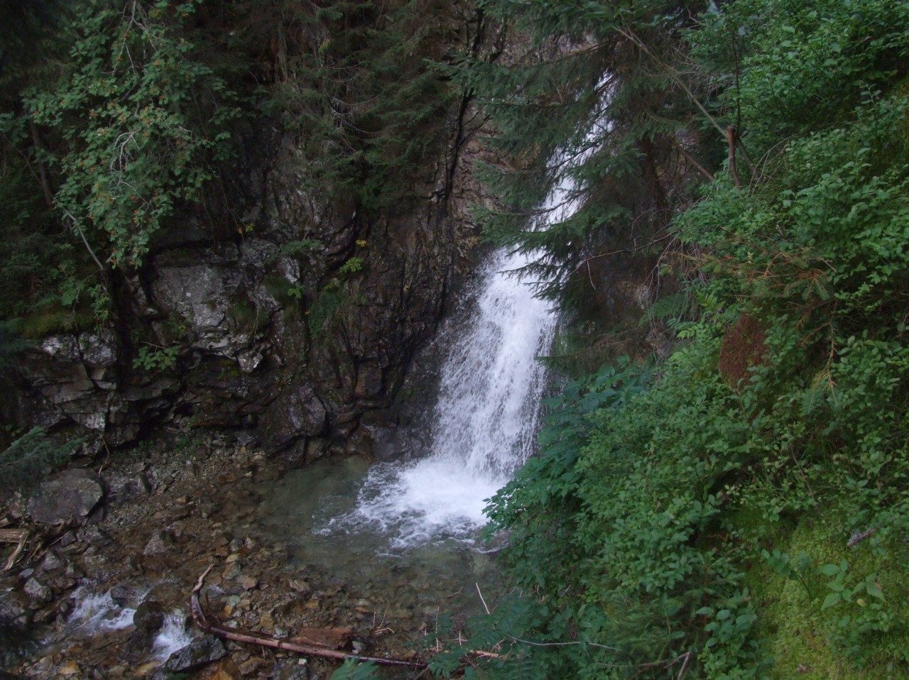
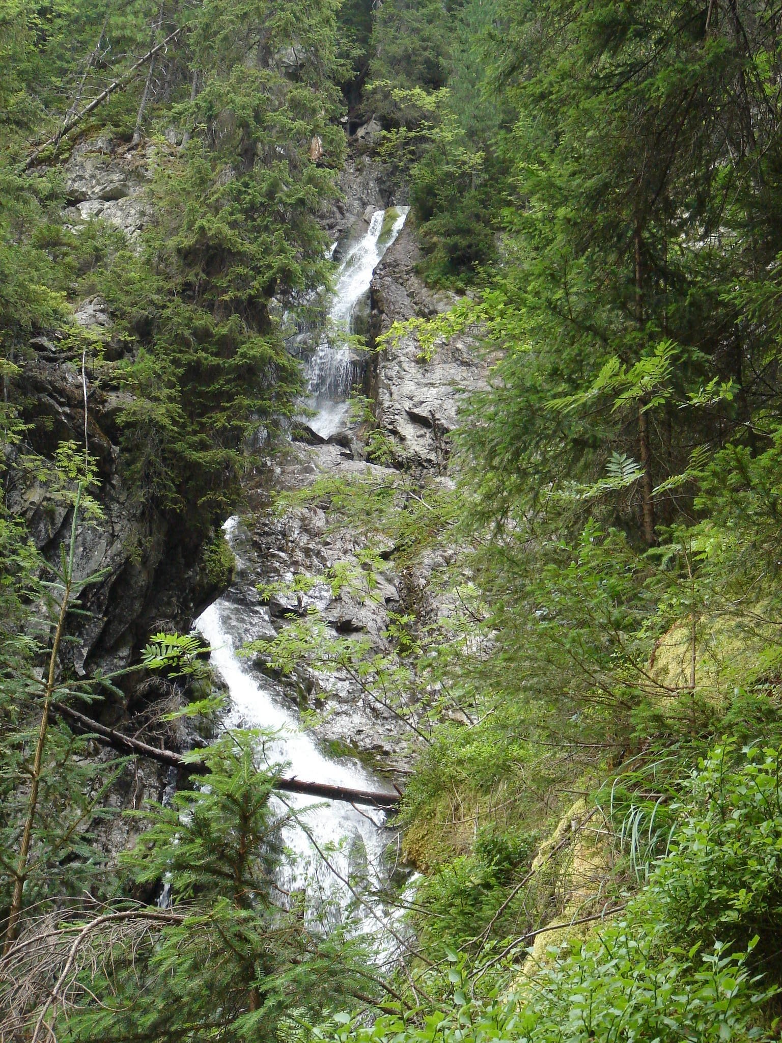
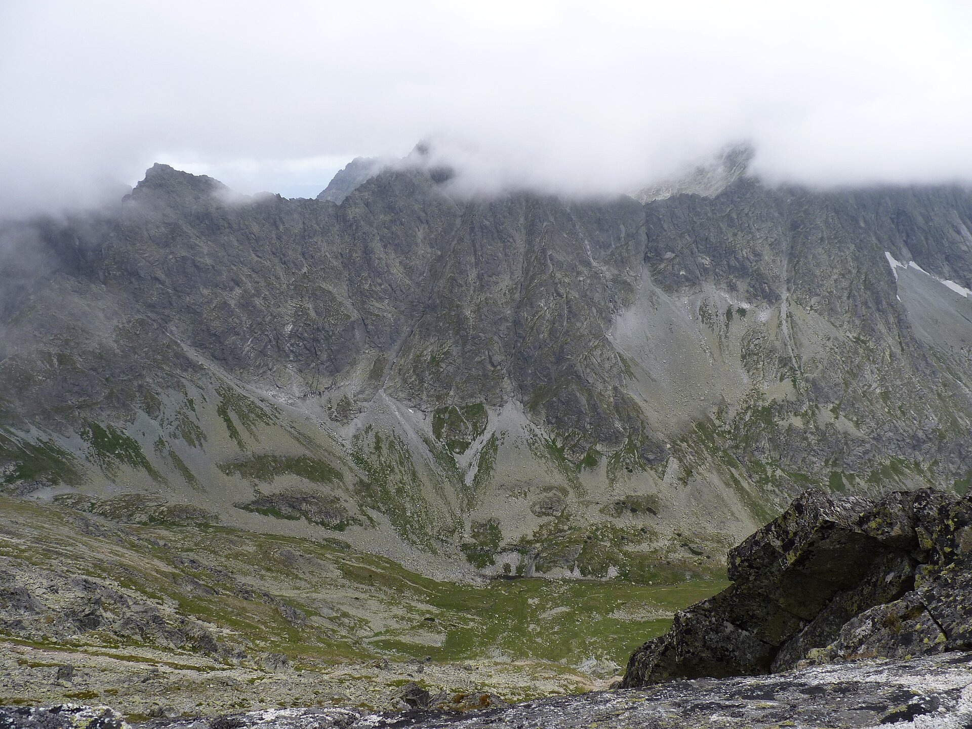
Kmeťov waterfall (Kmeťov vodopád) is a powerful two-step waterfall in the Kôprová dolina valley in the western High Tatras. It is formed by the Nefcerský potok stream, which drops through a cleft in a rock step where the hanging side valley of Nefcerka breaks off to the floor of Kôprová dolina. Above the fall, at about 1,245 m, the stream is only one and a half metres wide. The waterfall is named after the Slovak polymath and patriot Andrej Kmeť.
Slovak sources usually give its height as about 80 m (sometimes 90 m) and call it the highest waterfall in Slovakia. Polish researchers who measured the cascade on site estimate the lower, most powerful step at about 60 m and believe there are higher waterfalls in the Tatras. Either way, it is one of the most impressive waterfalls of the Slovak Tatras: the water thunders down a steep wall in two cascades amid spruce forest. Higher up in Nefcerka there are two more waterfalls, but that whole area is a strict reserve with no trails, so only the lower one is open to visitors.
What to see and do
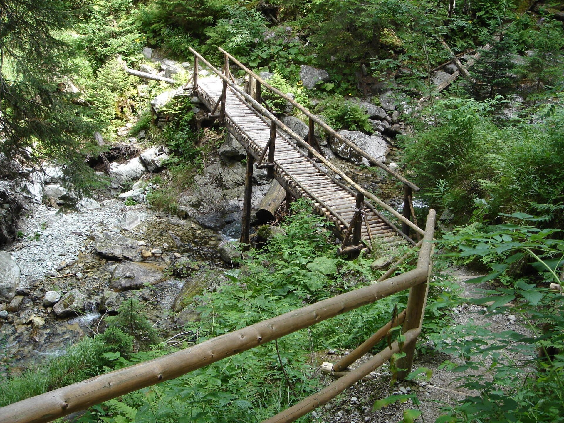
- The viewing platform by the waterfall with railings — a short marked path leads to it from the road in Kôprová dolina (about 3 minutes), next to a wooden well and a name sign.
- Kôprová dolina — one of the quietest valleys of the High Tatras. Almost all of it is a strictly protected zone of TANAP; there are no mountain huts and far fewer visitors than in the popular valleys.
- For experienced hikers: from the waterfall a blue trail continues up the valley to the Vyšné Kôprovské sedlo saddle, and a green one to the Závory saddle. These are long full-day high-mountain routes.
Practical information
Getting there. The valley is reached from Podbanské or from the Tri Studničky forester's lodge — on the blue trail and a forest road, asphalt at first and then gravel. For drivers the starting point is Podbanské. The way is long but nearly flat: according to the Prešov Region tourism portal, the cycle route from Podbanské to the end of the cycle trail by the waterfall is 9 km with 367 m of ascent. On foot, allow several hours for the return trip; cycling is permitted only on marked cycle routes. The trip suits fit families and cyclists, but it is not a short stroll.
TANAP rules. Under the national park visitor regulation, the blue trail from Kmeťov waterfall up to Vyšné Kôprovské sedlo is closed from 1 November to 31 May. The road to the waterfall itself is not on the list of closed trails, but in winter it carries a high avalanche risk, so do not go without experience and current avalanche information. Hiking is allowed only in daylight and only on marked trails.
When to go. June to October; the waterfall is fullest during snowmelt and after rain. The park rules set no entry ticket.
Nearby
- Štrbské pleso — the resort a few kilometres to the east.
- Skok waterfall in Mlynická dolina.
- Veľké Hincovo pleso — on the other side of Vyšné Kôprovské sedlo.
- Liptovská Mara — a large reservoir in Liptov.
Official website: tanap.sk
Photos: Coyote.cz, Public domain, Wikimedia Commons; Jerzy Opioła, CC BY-SA 4.0, Wikimedia Commons; Michal Klajban, CC BY-SA 3.0, Wikimedia Commons; Katarína Senajová, CC BY-SA 4.0, Wikimedia Commons.
Getting there from Ukraine
Border crossings
- Uzhhorod – Vyšné Nemecké — road, 24/7
- Malyi Bereznyi – Ubľa — road, 24/7 For cars and buses; pedestrians not confirmed by the Ukrainian border service, lorries up to 3.5 t.
- Mali Selmentsi – Veľké Slemence (pedestrian) — pedestrian, 09:00–21:00 Kyiv time Pedestrians and cyclists only; inconvenient for the Tatras without onward transport.
- Chop – Čierna nad Tisou (rail) — rail, 24/7
By car
Uzhhorod – Poprad ≈195 km, ≈2 h 55 min without queues: Uzhhorod – Vyšné Nemecké checkpoint → I/19 via Sobrance and Michalovce → Košice → D1 motorway via Prešov → Poprad (Liptovský Mikuláš is ≈56 km further on the D1, total ≈249 km). Košice – Poprad ≈112 km. The D1 requires an e-vignette (eznamka.sk). Note: from Lviv the fastest way to Poprad is through Poland — Krakovets – A4 – Kraków – Zakopane – Łysa Polana ≈468 km (≈5 h 50 min); via Uzhok and Malyi Bereznyi ≈419 km but slower (≈6 h 40 min). Zakopane – Poprad ≈69 km, Zakopane – Liptovský Mikuláš ≈80 km.
Checked 23.10.2026; border crossing hours and timetables change — check before you travel.
Location on the map
Comments
Trails nearby
All trails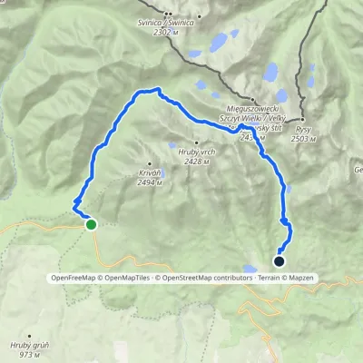 HardTwo-dayMarkedTri studničky, old forester's lodge Popradské Pleso, stopElevation profile1 105–2 142 m21.4 kmascent 1 129 m≈ 7.5 h walkingunder 1 km from Kmeťov Waterfall in Kôprová Valley
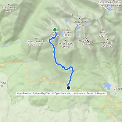 EasyOne-dayMarkedBiely Váh KriváňElevation profile1 209–2 410 m7.2 km≈ 2 h walking1.9 km from Kmeťov Waterfall in Kôprová Valley
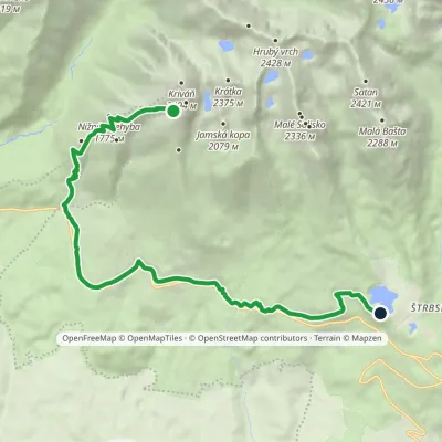 ModerateOne-dayMarkedŠtrbské Pleso, Solisko Sanatorium Junction in Krivánsky GullyElevation profile1 137–2 122 m14.7 kmascent 207 m≈ 4 h walking2 km from Kmeťov Waterfall in Kôprová Valley
Nearby attractions
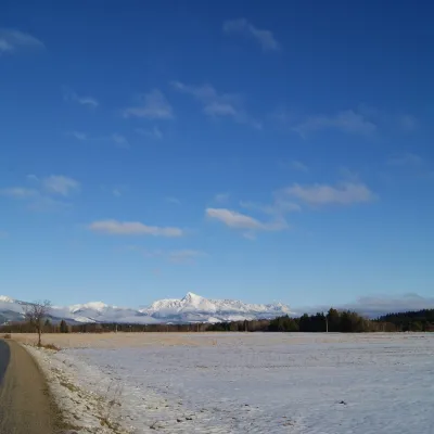 PeakKriváňaltitude 2 495 m1.9 km from Kmeťov Waterfall in Kôprová ValleyKriváň (Polish Krywań) is a 2495 m peak (precisely 2494.7 m) in the south-western part of the High Tatras in Slovakia.
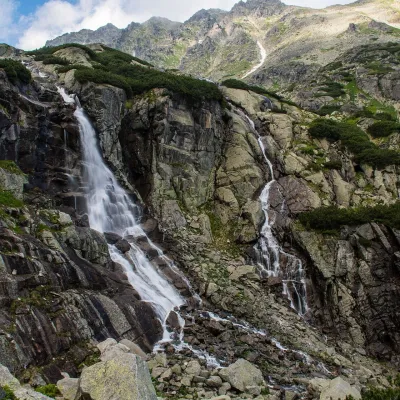 WaterfallSkok Waterfall5.3 km from Kmeťov Waterfall in Kôprová ValleySkok (Vodopád Skok) is one of the most beautiful waterfalls of the Slovak Tatras. Here the Mlynica stream drops over a rock step that blocks the middle part of the...
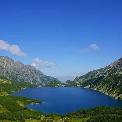 LakeWielki Staw Polski5.7 km from Kmeťov Waterfall in Kôprová ValleyWielki Staw Polski (the Great Polish Lake) lies in the High Tatras, in the Valley of the Five Polish Lakes, at 1,665 m, below the slopes of the Miedziane ridge.
Craft nearby
All craft places Horse ridingKone vo Východnej: horse rides below the Tatras10 km from Kmeťov Waterfall in Kôprová ValleyKone vo Východnej (“Horses in Východná”) is a small family horse farm on the meadows above the village of Východná in upper Liptov, with a sweeping view of the High...
 Cheese dairies & pasturesFurtek's Shepherd's Huts, Kuźnice and Kalatówki11 km from Kmeťov Waterfall in Kôprová ValleyAbove Kuźnice — the southern edge of Zakopane where most hikes into the Western and High Tatras begin — the flocks are tended by baca Andrzej Staszel, nicknamed "Furtek".
 Koliby & Hutsul cuisineBąkowo Zohylina Wyźnio Highland Tavern12 km from Kmeťov Waterfall in Kôprová ValleyBąkowo Zohylina Wyźnio is a regional highland tavern in Zakopane housed in a wooden "szałas" (shepherd-hut-style building) with a view of the Tatras.
 Cheese dairies & pasturesShepherd's Hut on Rusinowa Polana13 km from Kmeťov Waterfall in Kôprová ValleyRusinowa Polana is one of the most beautiful mountain glades in the Polish Tatras, and from May to October it is home to the bacówka (shepherd's hut) of baca Stanisław...
 Cheese dairies & pasturesShepherd's Hut in the Kościeliska Valley13 km from Kmeťov Waterfall in Kôprová ValleyJózef Słodyczka's bacówka (shepherd's hut) on the Wyżnia Kira Miętusia glade is probably the most easily reached shepherds' hut in the Polish Tatras.
 Water parks & thermal poolsTermy Zakopiańskie (Aqua Park Zakopane)13 km from Kmeťov Waterfall in Kôprová ValleyTermy Zakopiańskie is a thermal water park right in Zakopane, on Jagiellońska Street, only a kilometre from Krupówki.
