Roháčsky Waterfall
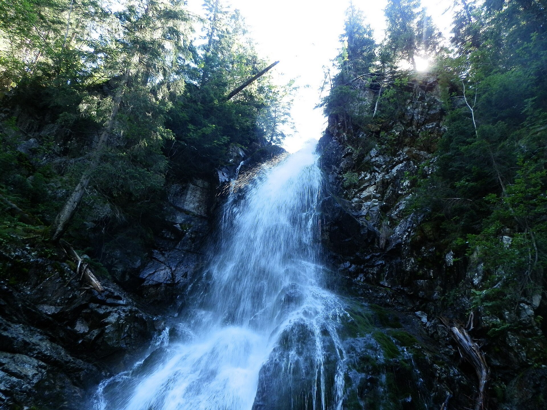
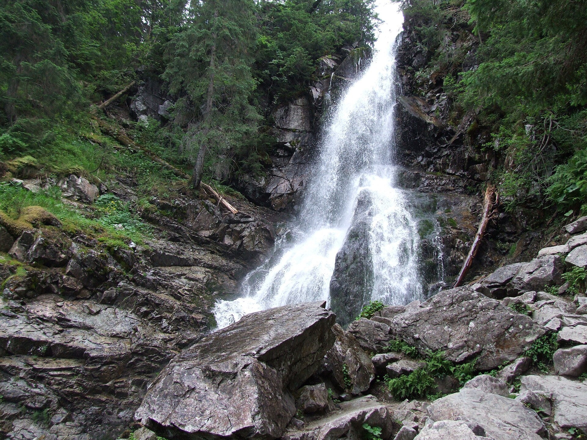
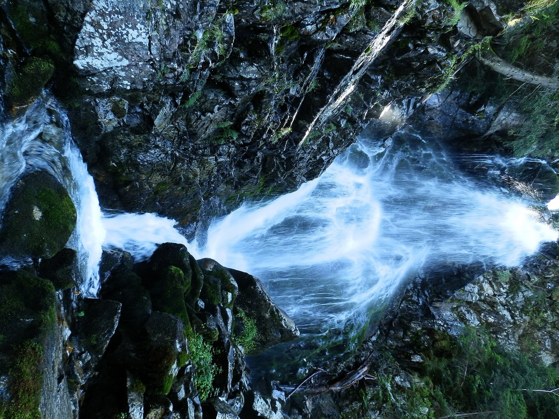
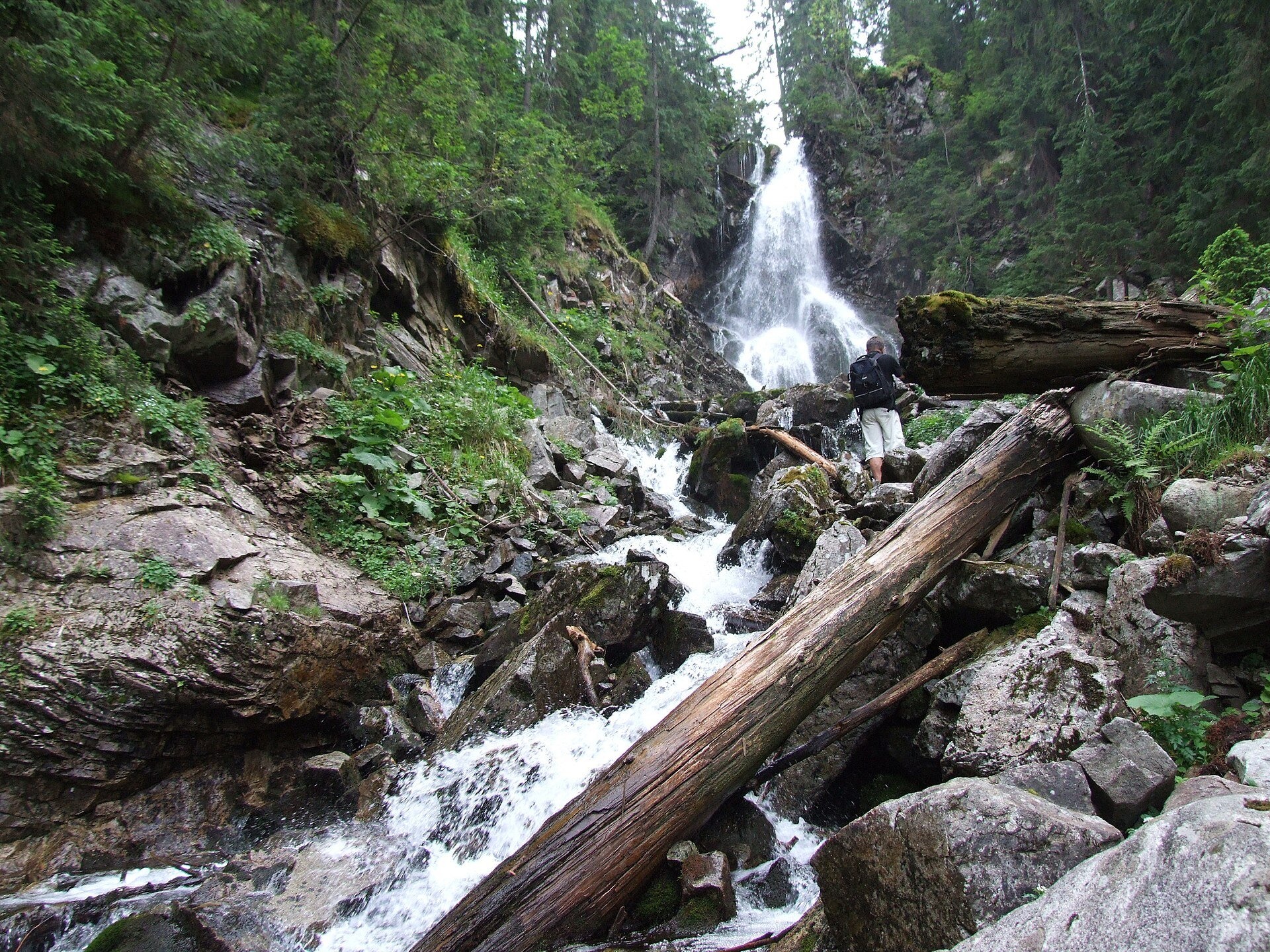
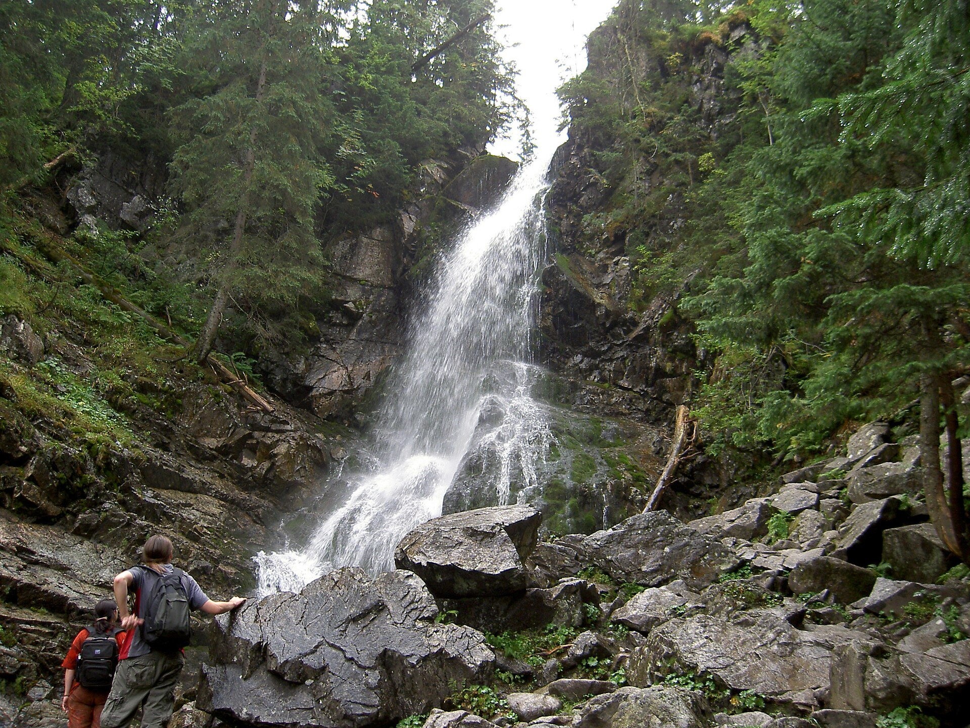
Roháčsky waterfall (Roháčsky vodopád) is the best-known waterfall of the Western Tatras, in the Roháče massif about 12 km east of the village of Zuberec in Orava. It lies at about 1,340 m in a deep stream bed in the forest, in the side valley of Spálená dolina that branches off the Roháčska valley. The water first drops noisily over a vertical rock step and then breaks up on the stones of a steep bed; the cascade is about 23 m long in total. Depending on the season, 500 to 1,200 litres of water per second flow over it.
In fact there are two waterfalls. The upper one, larger and more beautiful, is the one marked on maps as Roháčsky vodopád: a marked path about 100 m long leads to it. The lower waterfall — a steep bed choked with tree trunks — has no marked path, so it is best seen only from the main route. The damp stream bed by the falls is full of mountain plants, including the large white buttercup Ranunculus platanifolius, and mosses cover the stones.
What to see and do
- The upper Roháčsky waterfall — a short detour from the main trail, about half an hour's walk from the road in the Roháčska valley.
- The Roháčske plesá tarns — a staircase of four lakes on terraces below Ostrý Roháč and Plačlivé. The largest, Veľké Roháčske pleso, lies at 1,562 m. From the waterfall it is about an hour up.
- The "Roháčske plesá" nature trail — a 5.4 km loop with 525 m of ascent (about 4 hours) from the former Ťatliakova chata past the tarns and the waterfall. It is one of the finest walks in the Western Tatras.
- Ťatliakova chata (1,393 m) and the small lake beside it — a popular stop in the valley.
Practical information
Getting there. The starting point is Zuberec, then up the Roháčska valley to Zverovka, where there is a bus stop. From Zverovka you walk up the valley on an asphalt road to the Adamcula junction; from there the yellow and blue trails lead to the waterfall — about 30 minutes up and 25 minutes down. Ťatliakova chata is about 1 h 30 min from Zverovka on asphalt. The route to the waterfall is easy and suits families with children who already walk on their own; with a pushchair you can only use the paved part of the valley.
TANAP rules. The Roháčska valley belongs to the Tatra National Park. Under the visitor regulation, the blue trail from Roháčsky waterfall up to the Roháčske plesá tarns and the yellow trail from the waterfall to Baníkovské sedlo are closed from 1 November to 31 May; the nature trail from Ťatliakova chata to the tarns is closed in that period too. The approach to the waterfall itself from the road is not on the list. Hiking is allowed only in daylight and only on marked trails; do not scramble down to the lower fall off the trail. In winter there is deep snow in the valley, so proper equipment is needed.
When to go. June to October, when the loop around the tarns is also open; the waterfall is fullest during snowmelt and after rain. The park rules set no entry ticket.
Nearby
- Museum of the Orava Village near Zuberec — an open-air museum of wooden architecture.
- Orava Castle — one of the most spectacular castles in Slovakia.
- Wooden Church of All Saints in Tvrdošín (UNESCO).
- Chochołowska Valley — on the Polish side of the Western Tatras.
Official website: tanap.sk
Photos: Michal Jakubský, CC BY 3.0, Wikimedia Commons; Jerzy Opioła, CC BY-SA 3.0, Wikimedia Commons; Dezidor, CC BY 3.0, Wikimedia Commons; Juloml, CC BY-SA 4.0, Wikimedia Commons.
Getting there from Ukraine
Border crossings
- Uzhhorod – Vyšné Nemecké — road, 24/7
- Malyi Bereznyi – Ubľa — road, 24/7 For cars and buses; pedestrians not confirmed by the Ukrainian border service, lorries up to 3.5 t.
- Mali Selmentsi – Veľké Slemence (pedestrian) — pedestrian, 09:00–21:00 Kyiv time Pedestrians and cyclists only; inconvenient for the Tatras without onward transport.
- Chop – Čierna nad Tisou (rail) — rail, 24/7
By car
From Uzhhorod ≈275 km, ≈3 h 35 min without queues: Uzhhorod – Vyšné Nemecké → I/19 to Košice → D1 motorway via Prešov, Poprad and Liptovský Mikuláš to Ružomberok (≈270 km, ≈3 h 25 min from the border). From Lviv it is faster through Poland: M-10 → Krakovets – Korczowa → A4 to Kraków → S7/DK7 to the Chyżne – Trstená border → R3 and I/59 via Dolný Kubín to Ružomberok: ≈482 km, ≈6 h 15 min (via Uzhok and Ubľa ≈500 km, ≈7 h 30 min). The D1 requires an e-vignette (eznamka.sk).
Checked 23.10.2026; border crossing hours and timetables change — check before you travel.
Location on the map
Comments
Trails nearby
All trails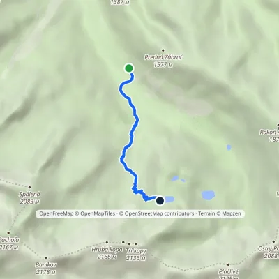 EasyOne-dayMarkedAdamcuľa Roháčske tarnsElevation profile1 186–1 719 m3.1 kmascent 512 m≈ 2 h walkingunder 1 km from Roháčsky Waterfall
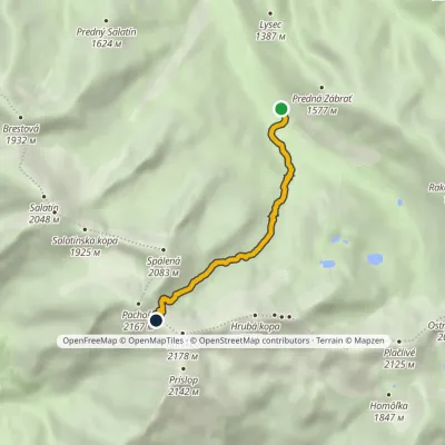 EasyOne-dayMarkedAdamcuľa Baníkov SaddleElevation profile1 186–2 041 m4.4 kmascent 830 m≈ 3 h walkingunder 1 km from Roháčsky Waterfall
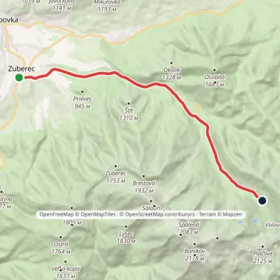 ModerateOne-dayMarkedZuberec Tatliakove plieskoElevation profile760–1 377 m12.8 kmascent 612 m≈ 4.5 h walkingunder 1 km from Roháčsky Waterfall
Nearby attractions
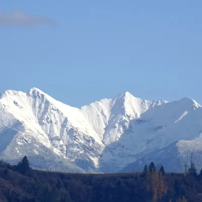 PeakBaníkovaltitude 2 178 m2.4 km from Roháčsky WaterfallBaníkov (Polish: Banówka) is a 2,178 m peak in the Western Tatras — the highest point on the main ridge of the range and the fourth-highest summit of the Western...
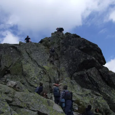 PeakOstrý Roháčaltitude 2 088 m2.6 km from Roháčsky WaterfallOstrý Roháč (Polish: Rohacz Ostry) is a rocky, twin-summited 2,088 m mountain on the main ridge of the Western Tatras in Slovakia.
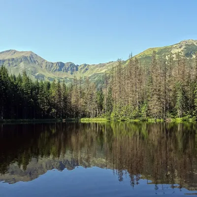 LakeSmreczyński Staw Lake9.8 km from Roháčsky WaterfallSmreczyński Staw is a small glacial lake in the upper part of the Kościeliska Valley, at the mouth of the Pyszniańska Valley, at 1,226 m.
Craft nearby
All craft places Cheese dairies & pasturesShepherds' Huts on Polana Chochołowska5.1 km from Roháčsky WaterfallPolana Chochołowska is the largest glade in the Polish Tatras and one of the largest in the whole range.
 Water parks & thermal poolsOravice thermal pools9.4 km from Roháčsky WaterfallThe Oravice thermal pools (Termálne kúpalisko Oravice) are the municipal thermal baths in the mountain settlement of Oravice at the foot of the Western Tatras.
 Water parks & thermal poolsMeander Thermal Resort, Oravice9.5 km from Roháčsky WaterfallMeander Thermal & Ski Resort (formerly Meander Park) is a thermal water park and ski centre in the mountain settlement of Oravice in northern Slovakia, at the foot of...
 Cheese dairies & pasturesShepherd's Hut in the Kościeliska Valley12 km from Roháčsky WaterfallJózef Słodyczka's bacówka (shepherd's hut) on the Wyżnia Kira Miętusia glade is probably the most easily reached shepherds' hut in the Polish Tatras.
 Water parks & thermal poolsAquapark Tatralandia17 km from Roháčsky WaterfallAquapark Tatralandia is a large year-round water leisure complex near Liptovský Mikuláš, on the northern shore of the Liptovská Mara reservoir.
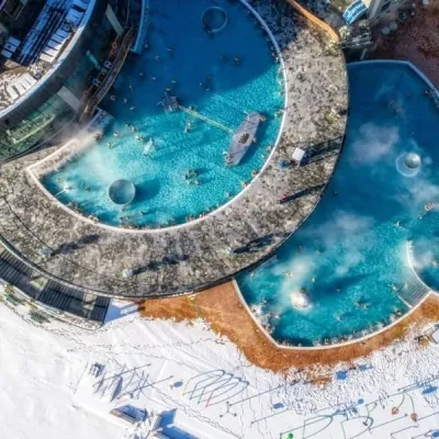 Water parks & thermal poolsChochołowskie Termy17 km from Roháčsky WaterfallChochołowskie Termy stand in the village of Chochołów in the Podhale region, north-west of Zakopane and not far from the Slovak border.
