Chochołowska Valley
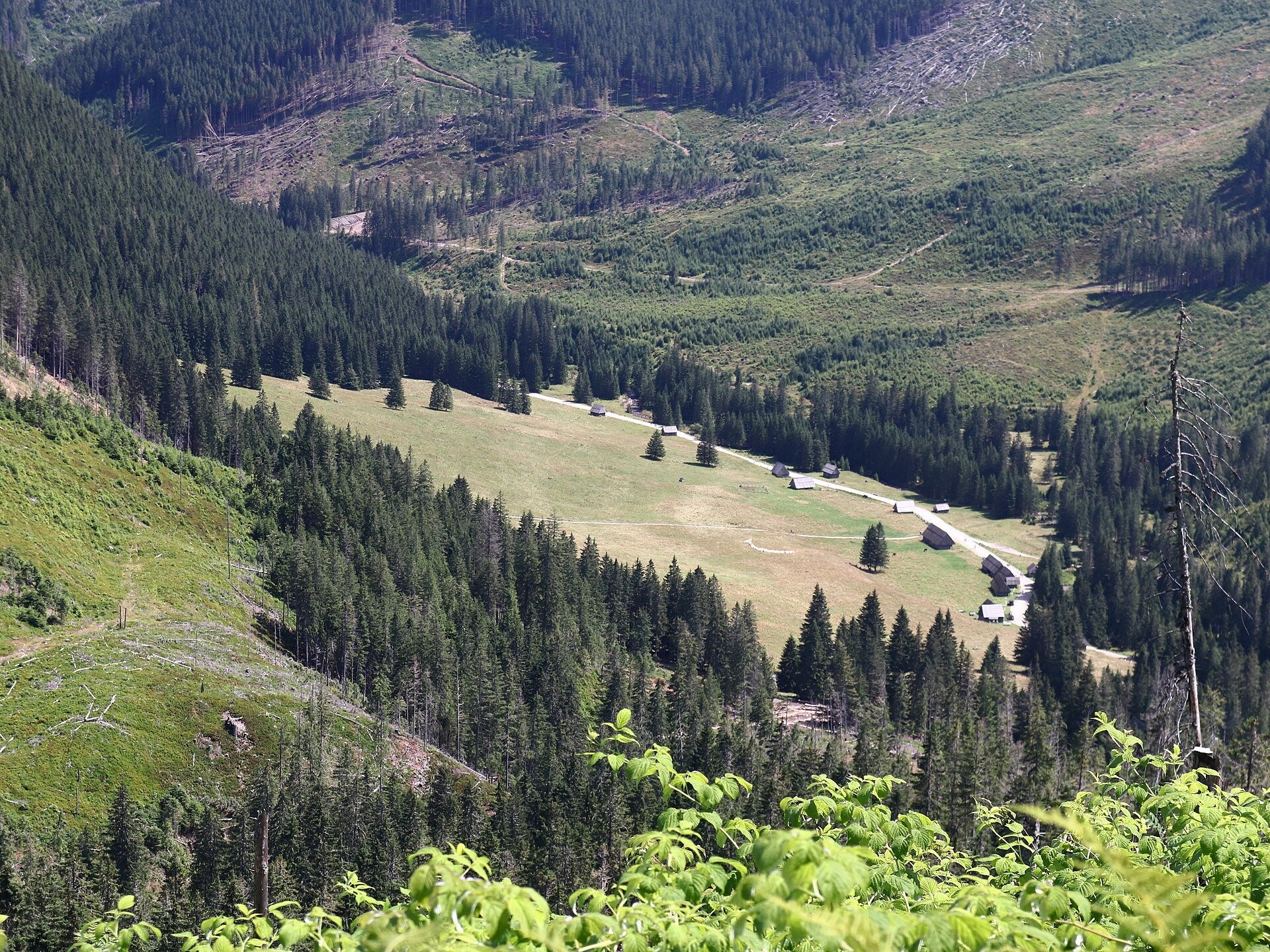
The largest valley in the Polish Tatras
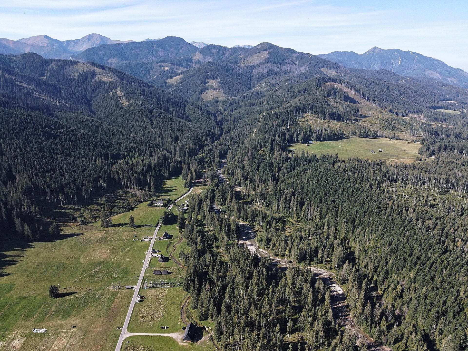
The Chochołowska Valley lies at the western edge of the Polish Western Tatras and is the longest and largest valley in the country: about 10 km long and over 35 km² in area. It takes its name from the village of Chochołów, which held grazing rights on the meadows here as early as the 16th century, while administratively the valley belongs to the village of Witów. Its peculiarity is that most of it is owned by the Forest Community of the Eight Villages of Witów, whose story began in 1819 when highlanders jointly bought these forests. So although the valley is part of the Tatra National Park, it is mostly under landscape protection and forestry is carried out here.
The valley was once the largest pastoral centre in the Tatras; iron ore was mined and smelted here, and robbers hid in its forests. On 23 June 1983 Pope John Paul II visited the valley — a monument on Siwa Polana and an exhibition in the hut recall the visit.
What to see
- The Lower and Upper Chochołowska Gates — rocky narrowings of the valley; a plaque on the Lower Gate honours the organisers of the 1846 Chochołów Uprising.
- The Chochołowska karst spring (Wywierzysko Chochołowskie) — like a small pond with a funnel-shaped bottom, it yields 400–600 litres of water per second.
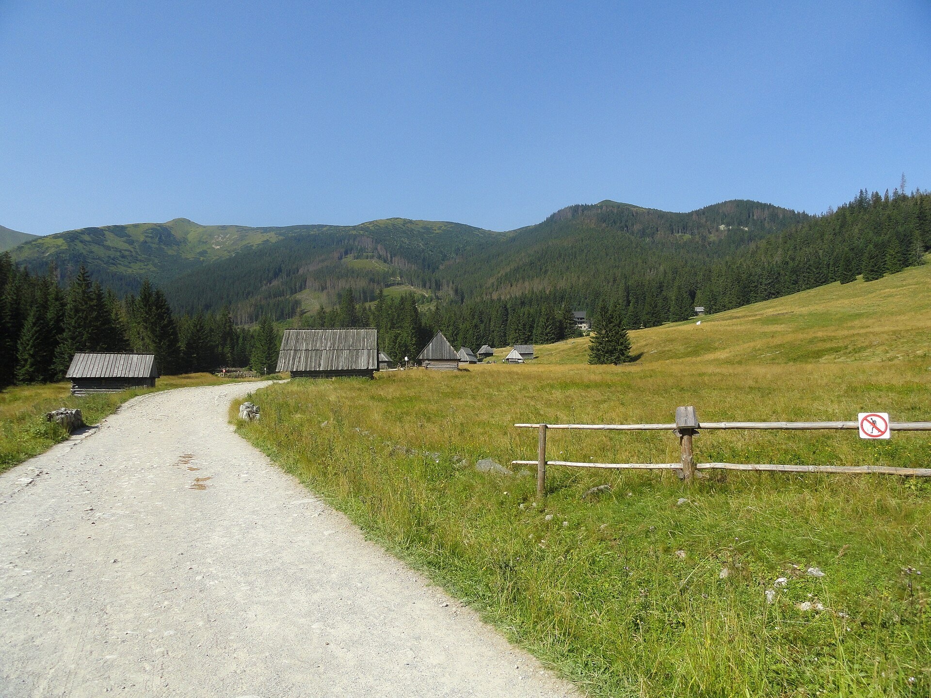
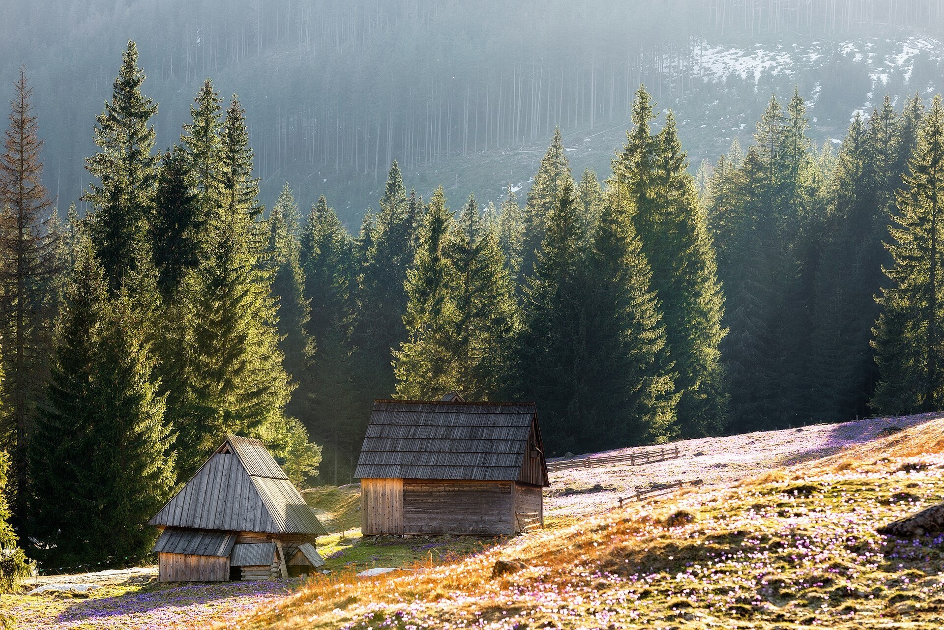
- Chochołowska Meadow (1,090–1,175 m, about 20 ha) — one of the largest in the Tatras, with the biggest group of historic shepherds' huts. In spring some 14 million crocuses (Crocus scepusiensis) bloom here; the peak usually falls in the first half of April but depends on the weather. In summer sheep graze the meadow and you can see where oscypek cheese comes from.
- The wooden Chapel of St John the Baptist (built around 1960), where scenes of the TV series “Janosik” were filmed in 1973; Sunday Mass is held here from June to October.
- The PTTK hut on Chochołowska Meadow (1,146 m, 1953) — the largest in the Polish Tatras, with an exhibition on John Paul II's mountain walks. Wołowiec (2,064 m) is visible from here.
Practical information
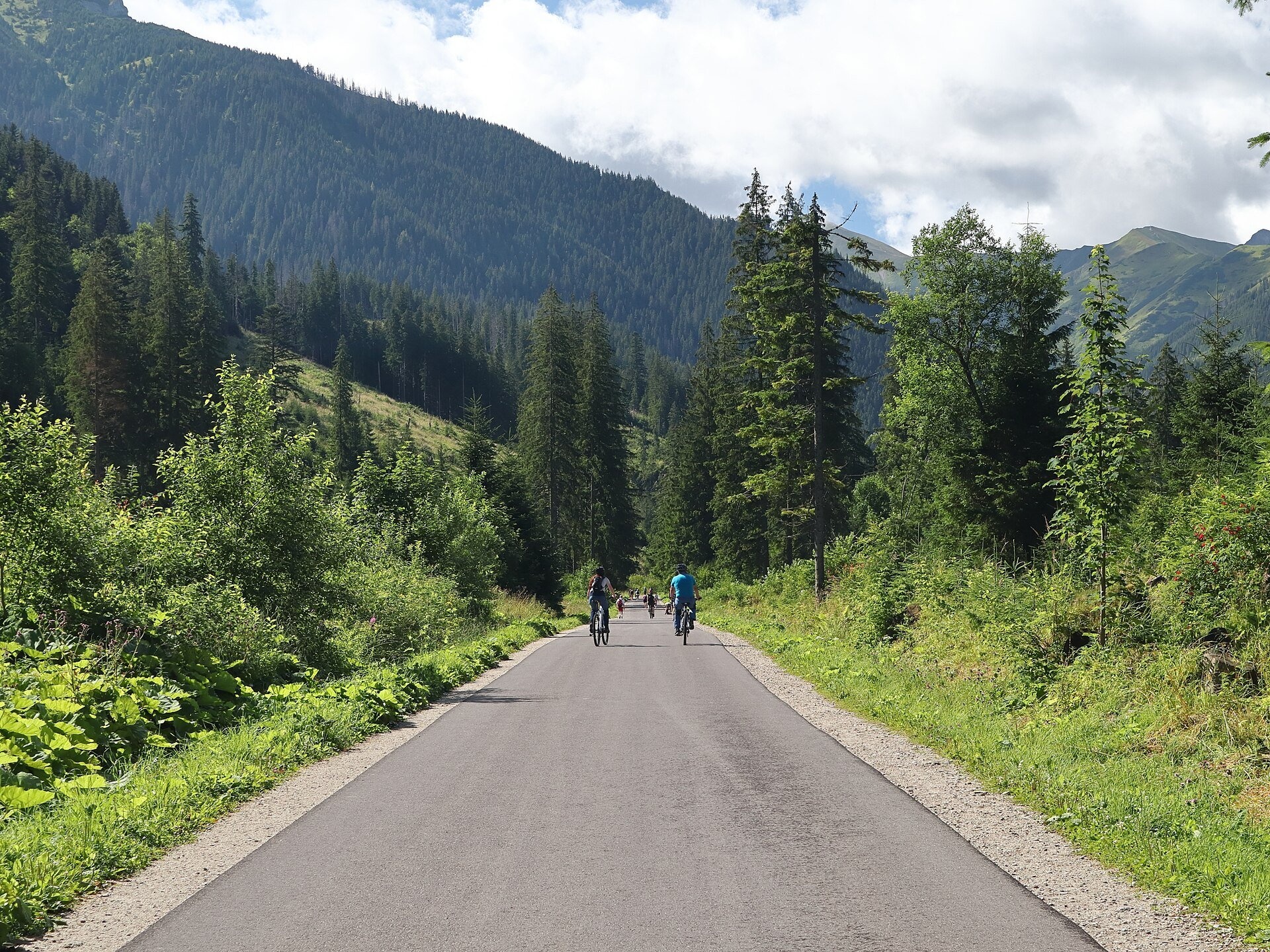
Getting there. The walk starts at Siwa Polana (910 m) near the village of Witów: here you find the last car park, a bus stop, stalls and the Community's ticket booths. The first 3.5 km to Polana Huciska are on asphalt, then a compacted track, partly cobbled. According to TPN the whole Siwa Polana – Chochołowska Meadow route is about 15 km: about 2.5 hours up and 2 hours down. The track is almost flat (average gradient 5%) and suitable for pushchairs and beginners.
Tickets and rules. The entry ticket is collected by the Eight Villages Community: the price is usually the same as TPN's (11 zł, reduced 5.50 zł), but it is set by the Community and payment is often cash only. This is the only TPN valley where you may bring a dog — only along the valley floor to the hut and only on a lead. Bicycles are allowed (extra fee of 11 zł per person); above Huciska the track is stony in places. From 1 March to 30 November walking on trails between dusk and dawn is prohibited, and drones are banned in TPN.
Nearby
- Kościeliska Valley — the neighbouring valley with rock gates and caves.
- Chochołów — the village of timber houses that gave the valley its name.
- Mroźna Cave in the Kościeliska Valley.
- Wielka Krokiew — the TPN cycle route along Droga pod Reglami runs from there to Siwa Polana.
Official website: tpn.gov.pl
Photos: Kapitel, CC BY-SA 4.0, Wikimedia Commons; Zakopane2017, CC BY 3.0, Wikimedia Commons; Qvidemus, CC BY 3.0, Wikimedia Commons; Cybularny, CC0, Wikimedia Commons; Aneta Pawska, CC BY 3.0, Wikimedia Commons.
Getting there from Ukraine
Border crossings
- Krakovets – Korczowa — road, 24/7
- Shehyni – Medyka — road, 24/7 Pedestrian crossing is not confirmed by the Ukrainian border service — check dpsu.gov.ua before the trip.
- Smilnytsia – Krościenko — road, 24/7
- Hrushiv – Budomierz — road, 24/7
- Mostyska – Przemyśl (rail) — rail, 24/7
By car
Lviv – Zakopane ≈421 km, ≈5 h 10 min without border queues. Route: M-10 Lviv – Krakovets → Krakovets – Korczowa checkpoint → A4 motorway (Rzeszów – Tarnów – Kraków) → Kraków southern bypass → S7/DK7 → DK47 ('Zakopianka') via Nowy Targ → Zakopane. The A4 Katowice – Kraków section (Balice and Mysłowice toll plazas) is tolled, but this route does not use it. In summer and at weekends the DK47 near Zakopane is often congested.
Checked 23.10.2026; border crossing hours and timetables change — check before you travel.
Location on the map
Comments
Trails nearby
All trails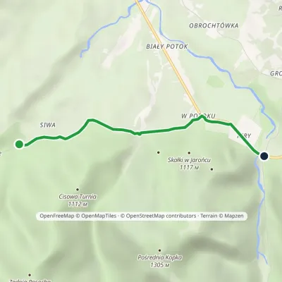 EasyOne-dayMarkedKiry Siwa PolanaElevation profile913–953 m3.1 kmascent 20 m≈ 45 min walkingunder 1 km from Chochołowska Valley
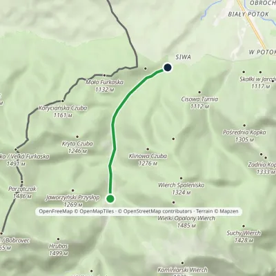 EasyOne-dayMarkedSiwa Polana Dudowa ValleyElevation profile939–1 018 m3.2 km≈ 45 min walkingunder 1 km from Chochołowska Valley
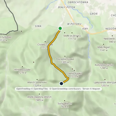 EasyOne-dayMarkedMiędzy Ściany Niżnia Kominiarska PolanaElevation profile936–1 102 m3.3 kmascent 155 m≈ 1 h walkingunder 1 km from Chochołowska Valley
Nearby attractions
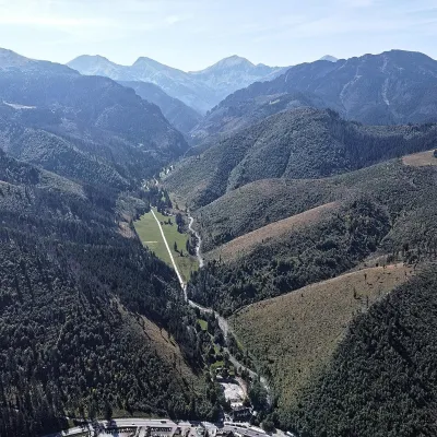 NatureKościeliska Valley2.2 km from Chochołowska ValleyThe Kościeliska Valley is one of the best-known and most visited valleys in the Polish Tatras. It lies in the Western Tatras, west of Zakopane: its mouth is at Kiry,...
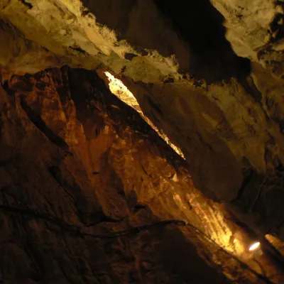 NatureMroźna Cave3.8 km from Chochołowska ValleyMroźna Cave is the best-known show cave in the Polish Tatras. It lies on the eastern slope of the Kościeliska Valley, in the Organy massif, about 120 m above the...
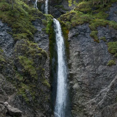 WaterfallSiklawica Waterfall7 km from Chochołowska ValleySiklawica (also Siklawica Strążyska) is a waterfall in the Western Tatras, in the upper part of the Strążyska Valley (strictly speaking in its branch called Mała...
Craft nearby
All craft places Cheese dairies & pasturesShepherd's Hut in the Kościeliska Valley2.6 km from Chochołowska ValleyJózef Słodyczka's bacówka (shepherd's hut) on the Wyżnia Kira Miętusia glade is probably the most easily reached shepherds' hut in the Polish Tatras.
 Cheese dairies & pasturesShepherds' Huts on Polana Chochołowska5.9 km from Chochołowska ValleyPolana Chochołowska is the largest glade in the Polish Tatras and one of the largest in the whole range.
 Water parks & thermal poolsMeander Thermal Resort, Oravice6.9 km from Chochołowska ValleyMeander Thermal & Ski Resort (formerly Meander Park) is a thermal water park and ski centre in the mountain settlement of Oravice in northern Slovakia, at the foot of...
 Water parks & thermal poolsOravice thermal pools7 km from Chochołowska ValleyThe Oravice thermal pools (Termálne kúpalisko Oravice) are the municipal thermal baths in the mountain settlement of Oravice at the foot of the Western Tatras.
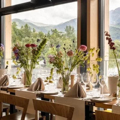 Craft beer & breweriesGwarno Restaurant & Brewery, Zakopane8 km from Chochołowska ValleyGwarno is a restaurant with its own small brewery at the foot of Gubałówka in Zakopane. It stands on Na Gubałówkę street right next to the lower station of the...
 Markets & fairsMarket under Gubałówka8 km from Chochołowska ValleyThe market under Gubałówka (Targ pod Gubałówką) is Zakopane's best-known bazaar and probably the most photographed row of stalls in the Polish Tatras.
