Ostrý Roháč
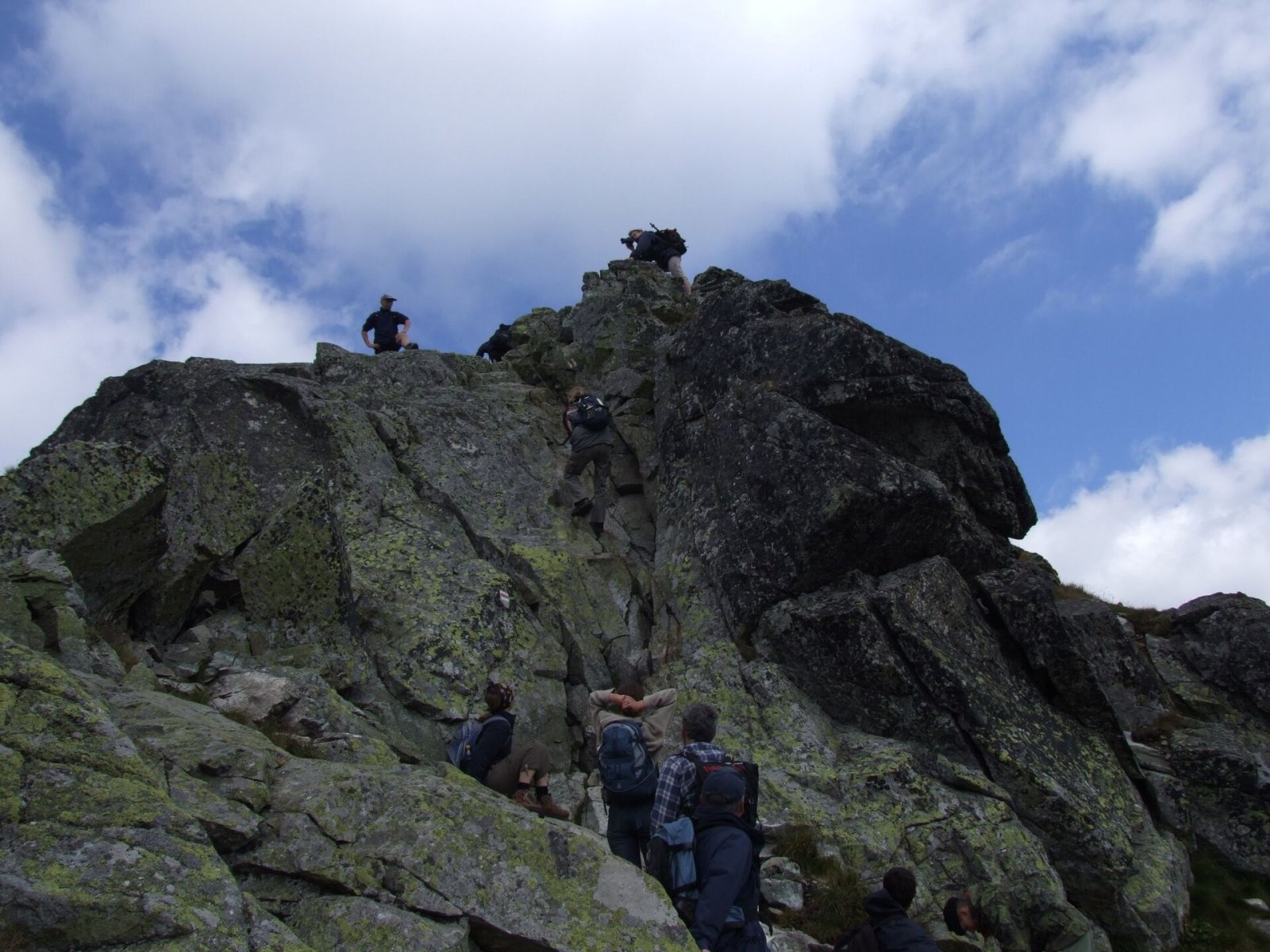
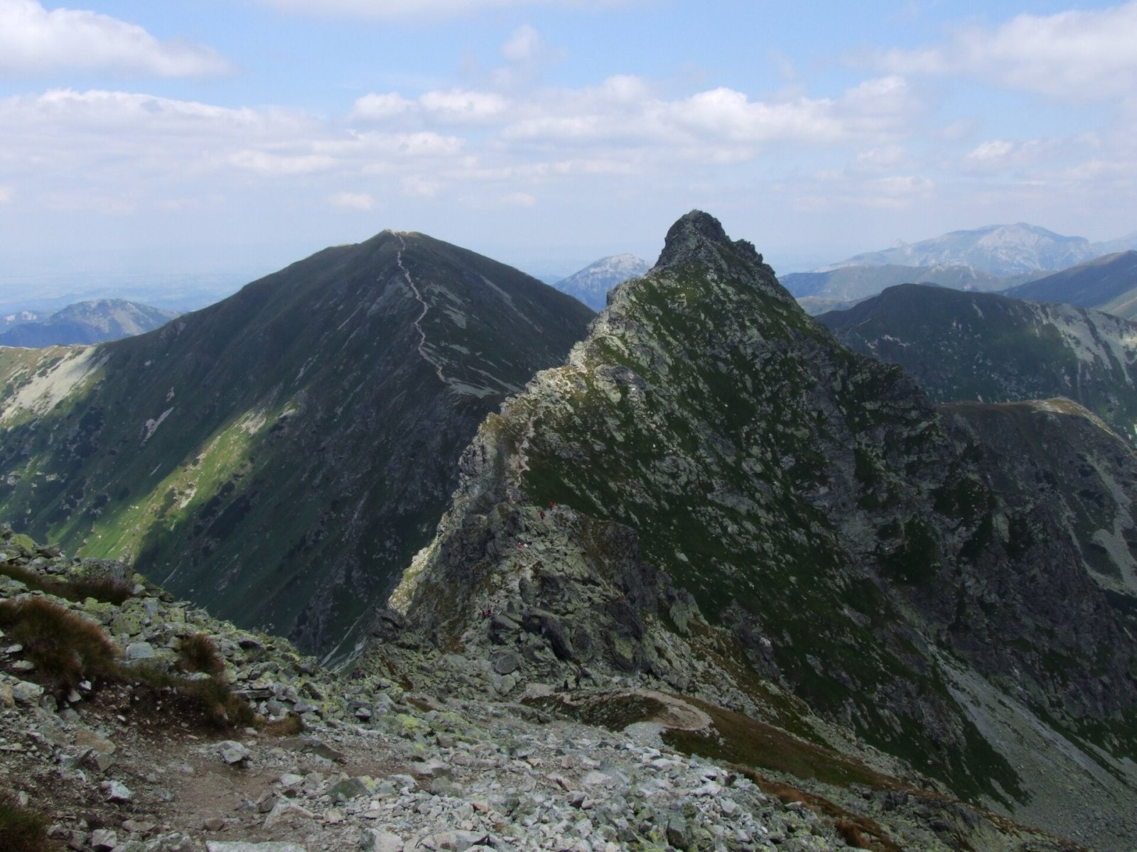
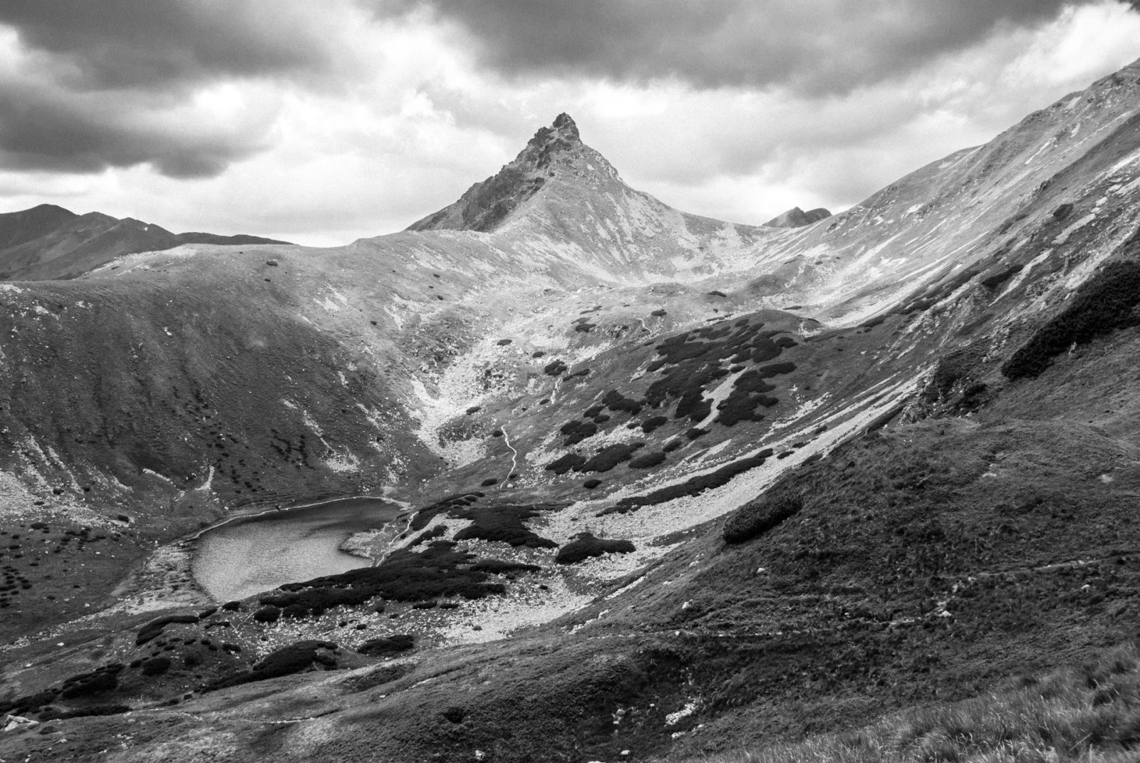
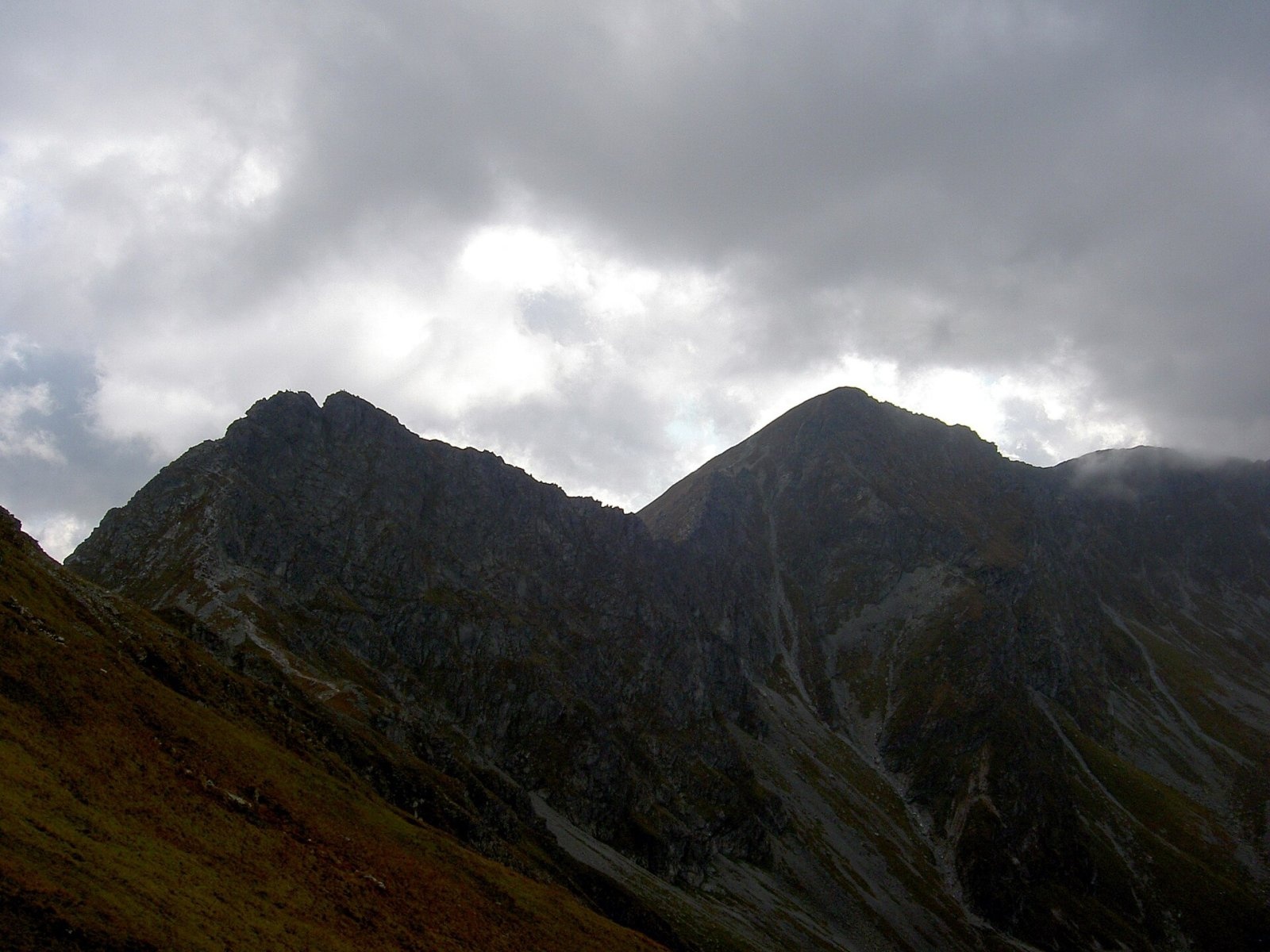
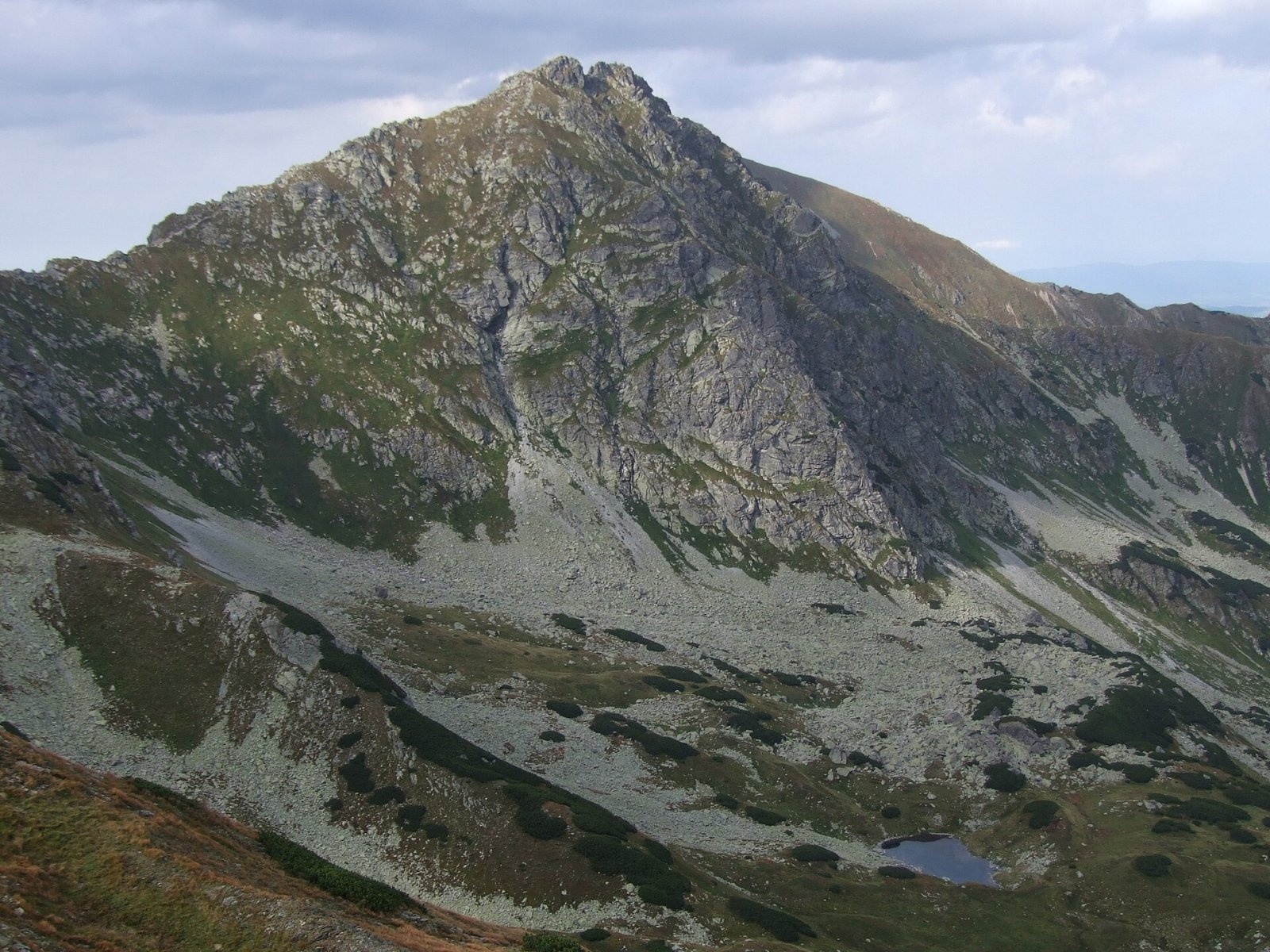
Ostrý Roháč (Polish: Rohacz Ostry) is a rocky, twin-summited 2,088 m mountain on the main ridge of the Western Tatras in Slovakia. It stands between Plačlivé, separated by the Roháčske sedlo saddle, and Volovec beyond Jamnícke sedlo, and rises above the Smutná valley (the upper part of the Roháčska valley) and the Jamnícka valley with its two Jamnícke plesá lakes. The mountain is so distinctive that the whole Roháče group is named after it: in the narrow sense the name covers Ostrý Roháč, Plačlivé and Volovec, in the broader sense the entire stretch of ridge from Brestová to Volovec. The nearest base is Zverovka near Zuberec (about 6 km to the north-west); from the south, Jalovec and Konská in the Liptov region. The mountain lies in the Tatra National Park (TANAP), and its north-western slopes in the Roháčske plesá national nature reserve.
How to get there: routes
The red ridge trail along the main crest of the Western Tatras crosses the summit. From Jamnícke sedlo it takes about 45–50 minutes, from Plačlivé about 45 minutes, from Smutné sedlo via Plačlivé about 1 h 45 min (1 h 30 min down); from the summit to Volovec about 1 hour. Several approaches lead up to the ridge:
- from Zverovka to Rákoň (about 2 h 30 min) and on over Volovec to Jamnícke sedlo (about another 1 h 10 min);
- from the campsite in the Račkova valley through the Jamnícka valley to Jamnícke sedlo — about 4 h 30 min;
- from the Žiarska chata hut to Žiarske sedlo (about 1 h 50 min), then via Plačlivé to Ostrý Roháč (about 1 h 30 min);
- from Žiarska chata to Smutné sedlo (about 2 hours), then along the ridge over Plačlivé.
The hardest passages are protected by chains. The trail follows a rocky crest with steep climbs; the stretch near the so-called Roháč Horse (Roháčsky kôň) is particularly exposed, so the route is considered difficult: it requires good preparation and a head for heights, and people who suffer from vertigo should avoid it.
What you can see from the summit
The sharp rocky summit offers an all-round panorama: Volovec and Plačlivé are close by, and below in the valleys lie the Roháčske and Jamnícke plesá lakes. In good visibility, Slovak sources also mention the Orava Beskids, Oravská Magura and the Low Tatras.
Nature and history
Ostrý Roháč is untypical of the grassy Western Tatras: its steep faces, narrow crest and crystalline rock make it resemble the High Tatras. The summit area is built of huge granite blocks and is split by a notch, Rohácka štrbina, from which a fault with mylonites runs through the whole massif. The western summit is slightly higher than the eastern one — Polish sources give a difference of about a metre. The north faces are steep and their gullies are often brittle. The name was explained back in the 18th century by the Slovak-Hungarian scholar Matej Bel: it comes from the word for "horned" and reflects the twin-peaked silhouette.
Climbing routes run up the north face above the Smutná valley; it was first climbed in 1908 by Walery Goetel and companions. On 26 June 1911 two German climbers from Zabrze, Ludwig Koziczinski and Karl Jenne, were killed on this face; their bodies were brought down a few days later by TOPR rescuers led by Mariusz Zaruski. The first winter ascent was made in March 1911 (partly on skis) by Henryk Bednarski, Józef Lesiecki, Leon Loria, Mariusz Zaruski, Stanisław Zdyb and Janusz Żuławski during the first winter traverse of the Roháče from Rákoň to Smutné sedlo. Zaruski later recalled how the party, belayed with ropes, crawled along a snow crest that hung like a bridge between the two summits.
Safety, season and rules
The routes to Ostrý Roháč lie in TANAP's high-mountain zone: under the current visitor rules, trails above the tree line are closed from 1 November to 31 May (formerly until 15 June). TANAP publishes current closures. Walking is allowed only on marked trails.
This is one of the most exposed summits in this part of the Tatras. Do not go onto the crest in rain, on wet or icy rock or with a storm approaching: the chains and granite slabs become dangerous, and there is nowhere to shelter on the ridge. Time your trip so that you cross the rocky sections while still fresh, and keep a fallback descent in mind (Jamnícke or Žiarske sedlo). On chained sections watch out for people above and below you and avoid knocking down stones.
Emergency numbers: the Slovak Mountain Rescue Service (HZS) 18 300 (+421 18 300 from a foreign phone) and 112. Rescue operations in Slovakia may be charged — make sure your insurance covers mountain hiking.
Interesting facts
- A whole mountain group, the Roháče, takes its name from Ostrý Roháč.
- The name means "horned", after its two summits separated by a notch.
- In 1911 the bodies of climbers killed here were brought down by TOPR rescuers led by Mariusz Zaruski, the service's founder.
Photos: Jerzy Opioła, CC BY-SA 3.0; Jerzy Opioła, CC BY-SA 3.0; Martin Dvoracek, CC BY 2.0; Dezidor, CC BY 3.0; Jerzy Opioła, CC BY-SA 3.0; Jerzy Opioła, CC BY-SA 3.0; Jerzy Opioła, CC BY-SA 3.0 — Wikimedia Commons.
Getting there from Ukraine
Border crossings
- Uzhhorod – Vyšné Nemecké — road, 24/7
- Malyi Bereznyi – Ubľa — road, 24/7 For cars and buses; pedestrians not confirmed by the Ukrainian border service, lorries up to 3.5 t.
- Mali Selmentsi – Veľké Slemence (pedestrian) — pedestrian, 09:00–21:00 Kyiv time Pedestrians and cyclists only; inconvenient for the Tatras without onward transport.
- Chop – Čierna nad Tisou (rail) — rail, 24/7
By car
From Uzhhorod ≈275 km, ≈3 h 35 min without queues: Uzhhorod – Vyšné Nemecké → I/19 to Košice → D1 motorway via Prešov, Poprad and Liptovský Mikuláš to Ružomberok (≈270 km, ≈3 h 25 min from the border). From Lviv it is faster through Poland: M-10 → Krakovets – Korczowa → A4 to Kraków → S7/DK7 to the Chyżne – Trstená border → R3 and I/59 via Dolný Kubín to Ružomberok: ≈482 km, ≈6 h 15 min (via Uzhok and Ubľa ≈500 km, ≈7 h 30 min). The D1 requires an e-vignette (eznamka.sk).
Checked 23.10.2026; border crossing hours and timetables change — check before you travel.
Location on the map
Comments
Trails nearby
All trails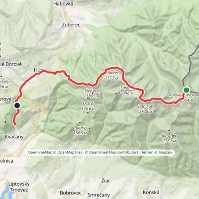 HardMulti-dayMarkedÚstie Kvačianskej doliny Pyšné sedlovia VolovecElevation profile644–2 169 m27.6 kmascent 1 322 m≈ 9.5 h walkingunder 1 km from Ostrý Roháč
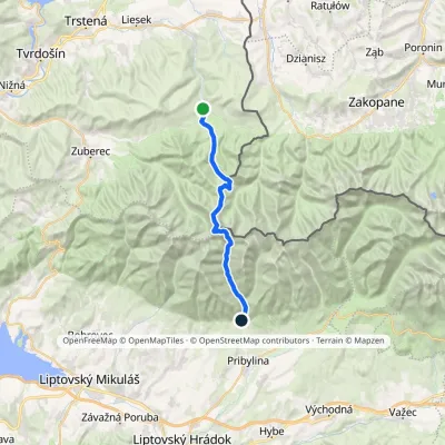 HardTwo-dayMarkedOravice Račková dolina, campsiteElevation profile791–2 053 m23.6 kmascent 1 268 m≈ 8.5 h walkingunder 1 km from Ostrý Roháč
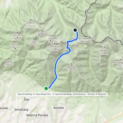 ModerateOne-dayMarkedTatliak Tarn Mouth of Žiarska ValleyElevation profile882–1 963 m11.5 kmascent 1 067 m≈ 5 h walkingunder 1 km from Ostrý Roháč
Nearby attractions
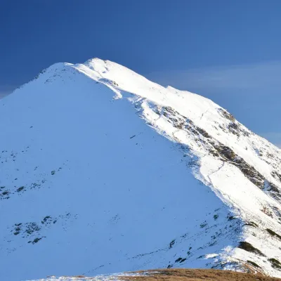 PeakVolovecaltitude 2 063 munder 1 km from Ostrý RoháčVolovec (Polish: Wołowiec) is a 2,063 m peak on the main ridge of the Western Tatras, on the border between Slovakia and Poland.
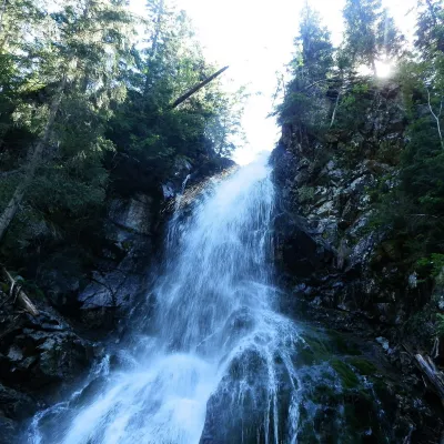 WaterfallRoháčsky Waterfall2.6 km from Ostrý RoháčRoháčsky waterfall (Roháčsky vodopád) is the best-known waterfall of the Western Tatras, in the Roháče massif about 12 km east of the village of Zuberec in Orava.
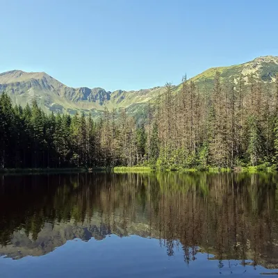 LakeSmreczyński Staw Lake8.1 km from Ostrý RoháčSmreczyński Staw is a small glacial lake in the upper part of the Kościeliska Valley, at the mouth of the Pyszniańska Valley, at 1,226 m.
Craft nearby
All craft places Cheese dairies & pasturesShepherds' Huts on Polana Chochołowska4.7 km from Ostrý RoháčPolana Chochołowska is the largest glade in the Polish Tatras and one of the largest in the whole range.
 Cheese dairies & pasturesShepherd's Hut in the Kościeliska Valley11 km from Ostrý RoháčJózef Słodyczka's bacówka (shepherd's hut) on the Wyżnia Kira Miętusia glade is probably the most easily reached shepherds' hut in the Polish Tatras.
 Water parks & thermal poolsOravice thermal pools11 km from Ostrý RoháčThe Oravice thermal pools (Termálne kúpalisko Oravice) are the municipal thermal baths in the mountain settlement of Oravice at the foot of the Western Tatras.
 Water parks & thermal poolsMeander Thermal Resort, Oravice11 km from Ostrý RoháčMeander Thermal & Ski Resort (formerly Meander Park) is a thermal water park and ski centre in the mountain settlement of Oravice in northern Slovakia, at the foot of...
 Horse ridingKone vo Východnej: horse rides below the Tatras17 km from Ostrý RoháčKone vo Východnej (“Horses in Východná”) is a small family horse farm on the meadows above the village of Východná in upper Liptov, with a sweeping view of the High...
 Water parks & thermal poolsAquapark Tatralandia17 km from Ostrý RoháčAquapark Tatralandia is a large year-round water leisure complex near Liptovský Mikuláš, on the northern shore of the Liptovská Mara reservoir.
