Volovec
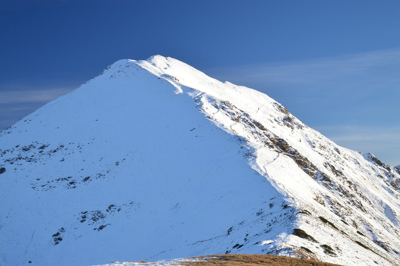
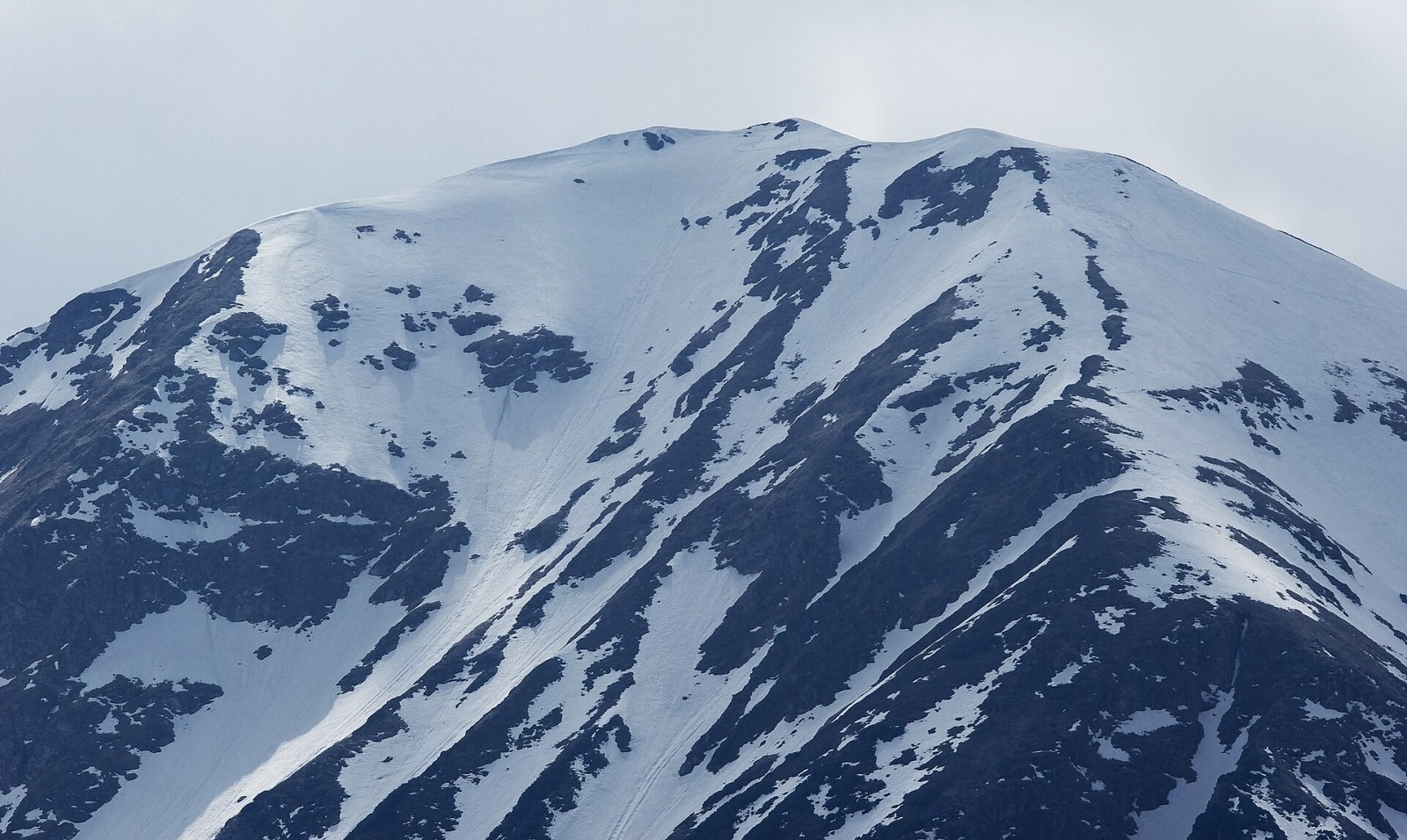
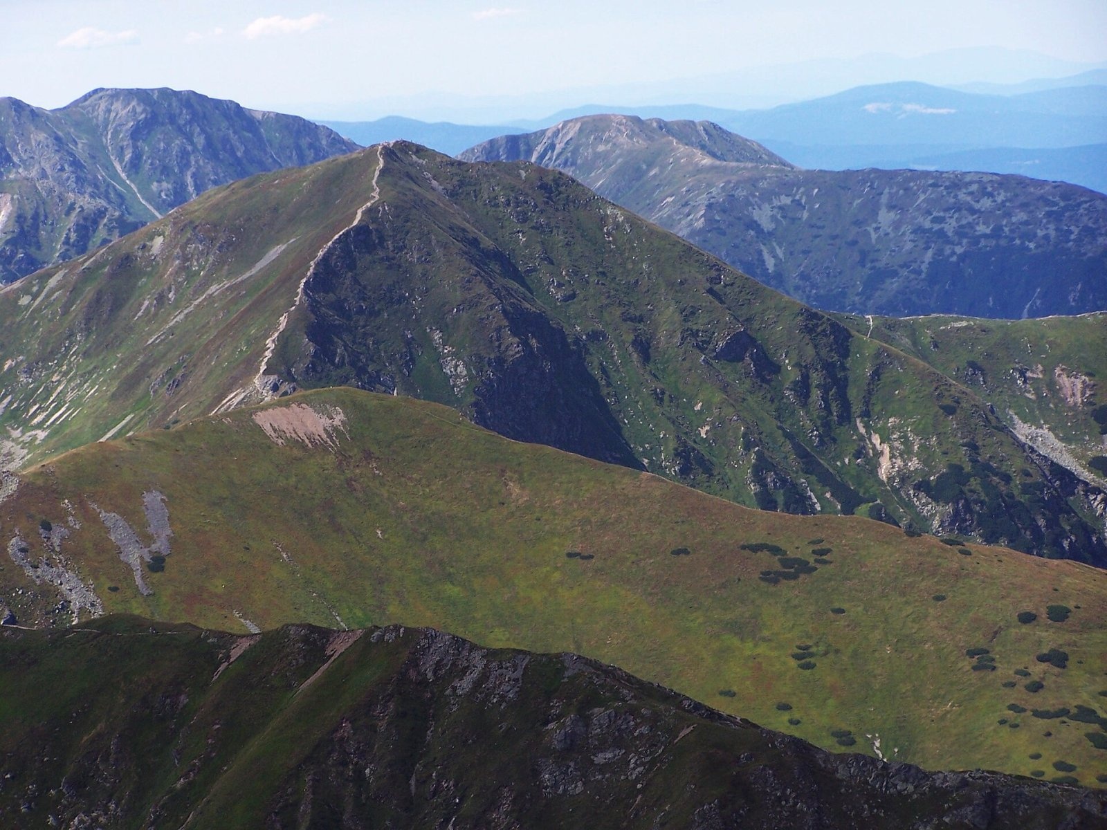
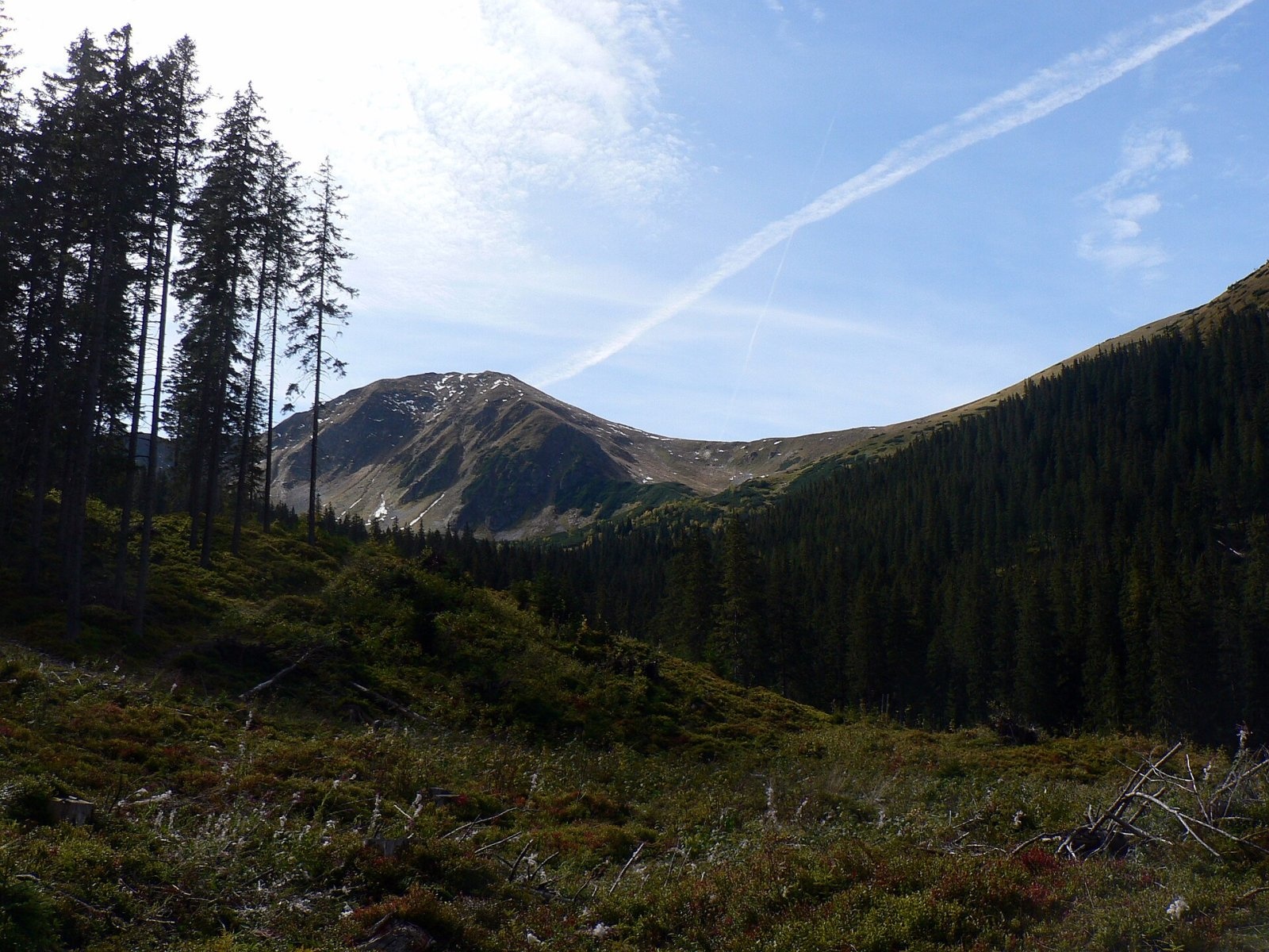
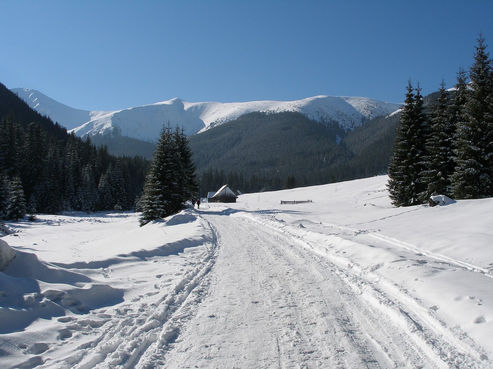
Volovec (Polish: Wołowiec) is a 2,063 m peak on the main ridge of the Western Tatras, on the border between Slovakia and Poland. It is a massive dome-shaped junction where three ridges meet: the main ridge from the east with Łopata and Jarząbczy Wierch (Slovak: Hrubý vrch), the jagged Roháče from the south (Ostrý Roháč, Plačlivé), and a side ridge running north over Rákoň and Grześ towards Bobrovec. The mountain rises above three valleys — the Polish Chochołowska and the Slovak Roháčska and Jamnícka. Jamnícke sedlo separates it from Ostrý Roháč, Zawracie from Rákoň and Dziurawa Przełęcz from Łopata. The nearest trailhead on the Slovak side is Zverovka near Zuberec, about 6 km to the north-west; on the Polish side it is the mouth of the Chochołowska valley near Witów. Volovec lies in the national parks of both countries (TANAP and TPN) and is one of the most popular two-thousanders in the Tatras.
How to get there: routes
- From Zverovka (Slovakia) — the easiest approach: from the Ťatliakova chata hut at the head of the Roháčska valley to the Zábrať saddle, then over Rákoň and along the ridge to the summit; Czech sources estimate about 2 h 20 min and 750 m of ascent from the hut. A yellow trail also leads from Zverovka via Rákoň.
- Blue trail from Poland — along the side ridge from Grześ over Długi Upłaz and Rakoń to the top (about 1 h 40 min up, 1 h 25 min down). Beyond the summit the blue trail joins the red one down to Jamnícke sedlo and into the Jamnícka valley (about 1 h 35 min). On the Slovak side a blue trail also comes up from Oravice via Bobrovecké sedlo and Rákoň.
- Green trail — from Polana Chochołowska through the upper Chochołowska valley to the ridge between Rakoń and Volovec, then on the blue trail to the top (about 2 h 30 min up, 2 h 05 min down).
- Red ridge trail — from the Roháče over Smutné sedlo and Jamnícke sedlo (about 1 hour from Ostrý Roháč), and eastwards along the border over Łopata to Jarząbczy Wierch (about 1 h 50 min).
The approaches from Poland and from Zverovka are technically easy but long, with a large height difference. The hardest option is via Ostrý Roháč and Jamnícke sedlo — one of the most exposed sections of the Western Tatras' main ridge.
What you can see from the summit
The broad, fairly flat summit gives a very wide view. In 1898 the Polish mountaineer Janusz Chmielowski described the steep Roháče fanning out to the south-west and the High Tatras rising in the east like a giant rocky island. Babia Góra is visible on the north-western horizon, and below to the west lie the Roháčske plesá lakes. Slovak sources also mention the Orava Beskids, Oravská Magura and the Low Tatras.
Nature and history
The dome-shaped massif is built of strongly deformed metamorphic rocks — alaskites and mylonites — and was undercut on three sides by glaciers during the Pleistocene. Tatra chamois live on its slopes all year round, and marmots inhabit the screes on the north side. Livestock once grazed here; the Polish slopes belonged to the Chochołowska pasture. Plants that are rare in Poland recorded here include alpine bent (Agrostis alpina), Carpathian catsfoot (Antennaria carpatica), Swiss willow (Salix helvetica) and Hungarian fleabane (Erigeron hungaricus).
The height of the summit was accurately measured as early as 1820, and it long served as an important triangulation point. Polish shepherds mostly called the mountain Hruby Wierch — the name recorded by Ludwik Zejszner — while Slovak shepherds called it Volovec. The Slovak name won because Austrian cartographers put it on their maps, from which it passed to Polish researchers and the Zakopane guides. The first recorded winter ascent was made in 1906 by Hungarian climbers, Imre Barcza and a companion. After the road from Zuberec to Zverovka was built in 1968–1970, visitor numbers from the Slovak side rose sharply, and the slopes around the summit now suffer from trail erosion.
Safety, season and rules
The Slovak routes (from Zverovka, the Jamnícka valley and along the Roháče ridge) lie in TANAP's high-mountain zone and are closed from 1 November to 31 May under the park's current visitor rules (the closure used to last until 15 June). The western part of the massif also belongs to the Roháčske plesá national nature reserve. On the Polish side the rules of the Tatra National Park (TPN) apply: there is an entrance fee, you must stay on marked trails, walking on trails is banned from dusk to dawn between 1 March and 30 November, and in winter (1 December to the end of February) trails are closed from 22:00 to 05:00. TPN has no seasonal trail closure, but in winter the slopes of Volovec are exposed to avalanche danger.
The open dome offers no shelter from wind or thunderstorms, and it is easy to lose your bearings in fog. The chained section over Ostrý Roháč requires experience and a head for heights.
Emergency numbers: in Poland, TOPR 985 or +48 601 100 300; in Slovakia, HZS 18 300 (+421 18 300); 112 works in both countries.
Interesting facts
- Volovec is often described as one of the most easily accessible two-thousanders in the Tatras — families with children climb it too.
- Three ridges meet at the summit, and this is where the Polish–Slovak border turns north off the main ridge.
- The height of Volovec was measured as early as 1820.
Photos: Pavouk, CC BY-SA 4.0; Kruczy89, CC BY-SA 3.0; Opioła Jerzy, CC BY 2.5; Krzysztof Dudzik-Górnicki (User:ToSter), CC BY-SA 4.0; Piotrass007, CC BY-SA 4.0; Juloml, CC BY-SA 3.0; Jakub Hałun, CC BY-SA 4.0 — Wikimedia Commons.
Getting there from Ukraine
Border crossings
- Uzhhorod – Vyšné Nemecké — road, 24/7
- Malyi Bereznyi – Ubľa — road, 24/7 For cars and buses; pedestrians not confirmed by the Ukrainian border service, lorries up to 3.5 t.
- Mali Selmentsi – Veľké Slemence (pedestrian) — pedestrian, 09:00–21:00 Kyiv time Pedestrians and cyclists only; inconvenient for the Tatras without onward transport.
- Chop – Čierna nad Tisou (rail) — rail, 24/7
By car
From Uzhhorod ≈275 km, ≈3 h 35 min without queues: Uzhhorod – Vyšné Nemecké → I/19 to Košice → D1 motorway via Prešov, Poprad and Liptovský Mikuláš to Ružomberok (≈270 km, ≈3 h 25 min from the border). From Lviv it is faster through Poland: M-10 → Krakovets – Korczowa → A4 to Kraków → S7/DK7 to the Chyżne – Trstená border → R3 and I/59 via Dolný Kubín to Ružomberok: ≈482 km, ≈6 h 15 min (via Uzhok and Ubľa ≈500 km, ≈7 h 30 min). The D1 requires an e-vignette (eznamka.sk).
Checked 23.10.2026; border crossing hours and timetables change — check before you travel.
Location on the map
Comments
Trails nearby
All trails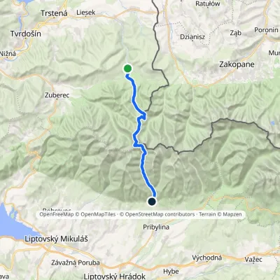 HardTwo-dayMarkedOravice Račková dolina, campsiteElevation profile791–2 053 m23.6 kmascent 1 268 m≈ 8.5 h walkingunder 1 km from Volovec
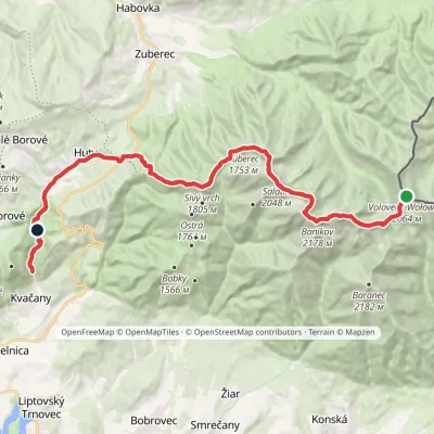 HardMulti-dayMarkedÚstie Kvačianskej doliny Pyšné sedlovia VolovecElevation profile644–2 169 m27.6 kmascent 1 322 m≈ 9.5 h walkingunder 1 km from Volovec
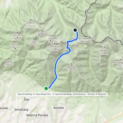 ModerateOne-dayMarkedTatliak Tarn Mouth of Žiarska ValleyElevation profile882–1 963 m11.5 kmascent 1 067 m≈ 5 h walkingunder 1 km from Volovec
Nearby attractions
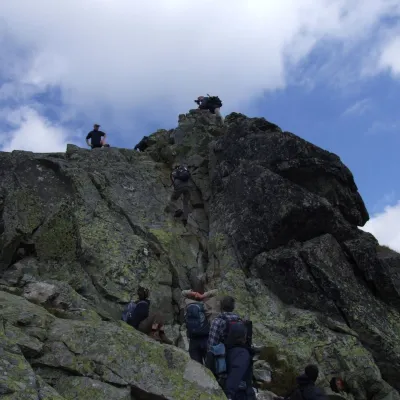 PeakOstrý Roháčaltitude 2 088 munder 1 km from VolovecOstrý Roháč (Polish: Rohacz Ostry) is a rocky, twin-summited 2,088 m mountain on the main ridge of the Western Tatras in Slovakia.
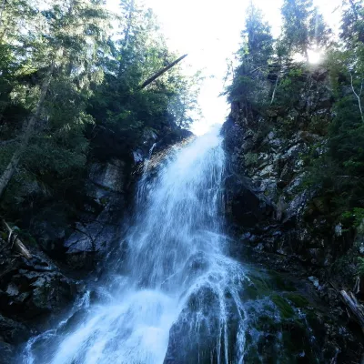 WaterfallRoháčsky Waterfall2.6 km from VolovecRoháčsky waterfall (Roháčsky vodopád) is the best-known waterfall of the Western Tatras, in the Roháče massif about 12 km east of the village of Zuberec in Orava.
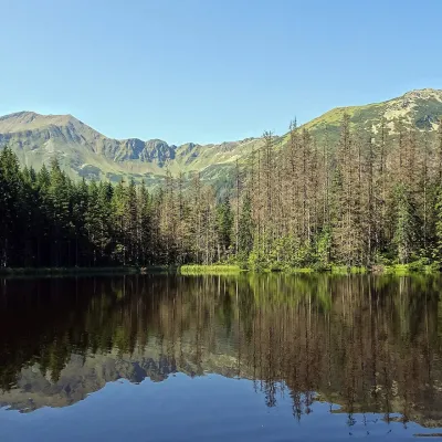 LakeSmreczyński Staw Lake7.5 km from VolovecSmreczyński Staw is a small glacial lake in the upper part of the Kościeliska Valley, at the mouth of the Pyszniańska Valley, at 1,226 m.
Craft nearby
All craft places Cheese dairies & pasturesShepherds' Huts on Polana Chochołowska3.8 km from VolovecPolana Chochołowska is the largest glade in the Polish Tatras and one of the largest in the whole range.
 Cheese dairies & pasturesShepherd's Hut in the Kościeliska Valley10 km from VolovecJózef Słodyczka's bacówka (shepherd's hut) on the Wyżnia Kira Miętusia glade is probably the most easily reached shepherds' hut in the Polish Tatras.
 Water parks & thermal poolsOravice thermal pools10 km from VolovecThe Oravice thermal pools (Termálne kúpalisko Oravice) are the municipal thermal baths in the mountain settlement of Oravice at the foot of the Western Tatras.
 Water parks & thermal poolsMeander Thermal Resort, Oravice10 km from VolovecMeander Thermal & Ski Resort (formerly Meander Park) is a thermal water park and ski centre in the mountain settlement of Oravice in northern Slovakia, at the foot of...
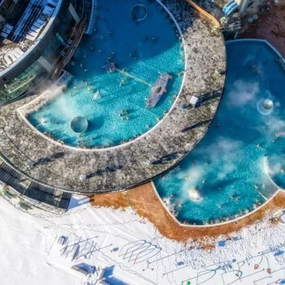 Water parks & thermal poolsChochołowskie Termy17 km from VolovecChochołowskie Termy stand in the village of Chochołów in the Podhale region, north-west of Zakopane and not far from the Slovak border.
 Markets & fairsMarket under Gubałówka17 km from VolovecThe market under Gubałówka (Targ pod Gubałówką) is Zakopane's best-known bazaar and probably the most photographed row of stalls in the Polish Tatras.
