Polonynian Ridge

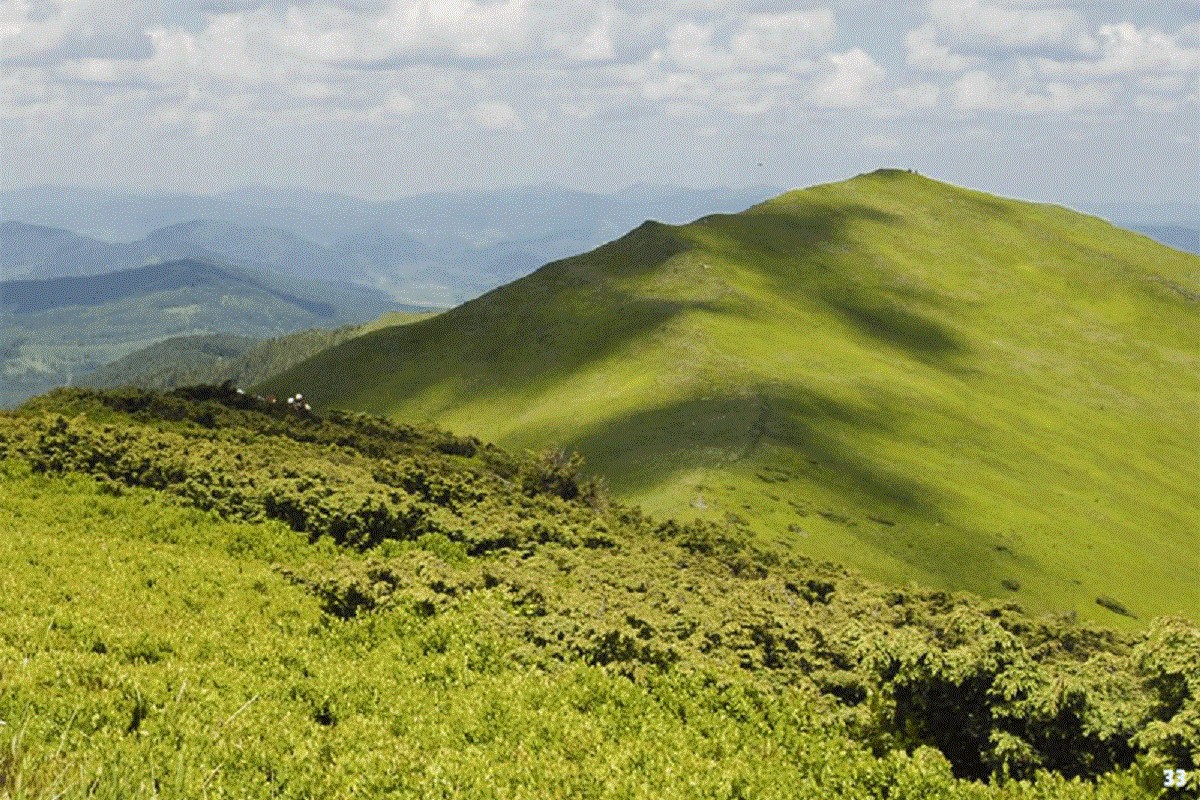

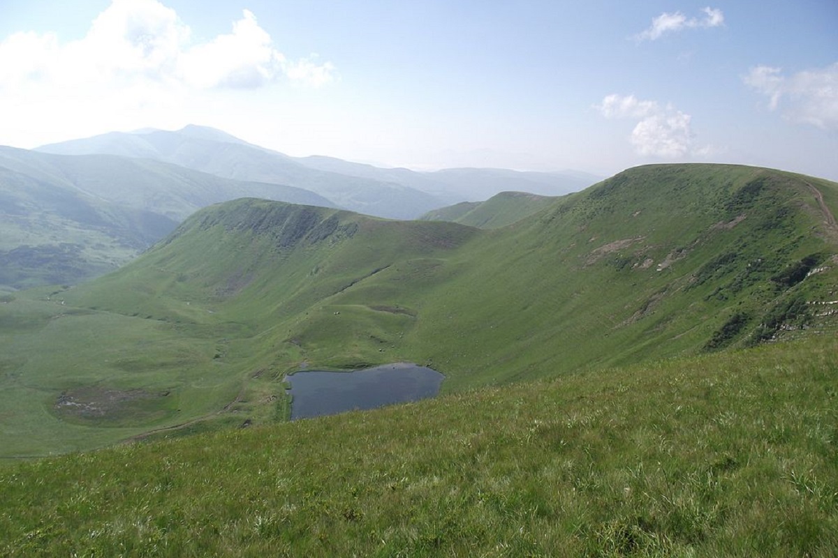

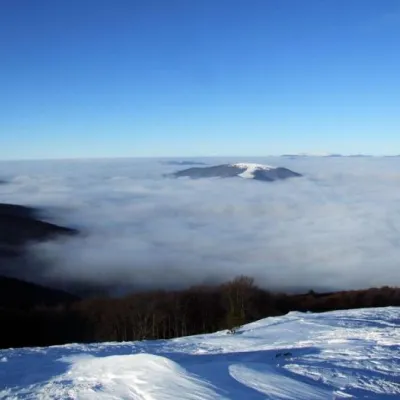
The Polonynian Ridge is a chain of treeless crests in Zakarpattia from the Uzh to the Teresva: Rivna, Borzhava, Krasna and smaller meadow ridges in between. The highest summit is Stij (1,681 m) on Borzhava.
Geography and boundaries
The Polonynian Ridge, or Polonynian Beskids, is a system of ridges in the inner belt of the Ukrainian Carpathians, entirely within Zakarpattia Oblast. It runs from north-west to south-east for more than 150 km — between the Uzh and the Teresva (some sources extend it to the Tisza). To the south-west the Volcanic Ridge runs parallel to it, with the Upper Tisza basin beyond; to the north-east lie the Watershed Ridge and the Gorgany.
The transverse valleys of the Uzh, Latorytsia, Vicha, Tereblia and Teresva cut the ridge into separate high, broad-topped ranges whose summits are covered by polonynas — mountain meadows. From west to east these are Rivna Polonyna (Runa), Liutianska Holytsia, Hostra Hora, Borzhava with the Kuk polonyna, and Krasna Polonyna. In a wider sense — as the Polonynian-Chornohora Carpathians — Svydovets and Chornohora are also included in this belt. Each of these ranges has its own page on the site; this page gathers everything that lies between them.
Peaks
- Stij (1,681 m) — the highest summit of the ridge, on Borzhava;
- Velykyi Verkh (1,598 m) — the hub of Borzhava;
- Syhlanskyi (1,563 m) and Topas (1,548 m) — the highest on Krasna Polonyna;
- Polonyna Runa (1,479 m) — the summit of Rivna Polonyna.
Typical crest heights are 1,400–1,500 m, while the relief from valley floor to crest reaches 1,000–1,200 m.
Nature
The ridge is built of flysch of the Dukla and Porkulets nappes. The landscape is layered: up to 1,200 m steep forested slopes with beech and beech-fir forest (about 70 % of the area), above 1,200–1,400 m meadows with grassland and subalpine vegetation. The south-eastern slopes are gentler than the northern ones. The Turia, Liuta, Borzhava, Mala and Velyka Uholka and Luzhanka rivers rise on the ridge.
The north-western part belongs to Uzhanskyi National Nature Park, the upper Tereblia to Synevyr National Park, and the headwaters of the Uholka and Luzhanka to the Uholka–Shyrokyi Luh section of the Carpathian Biosphere Reserve, one of the largest primeval beech forests in Europe.
Routes and when to go
The polonynas offer the most scenic routes in Zakarpattia: wide open crests with moderate climbs. The most popular are the Borzhava traverse from Volovets to Pylypets, the Krasna traverse from Kolochava to Ust-Chorna and the day hike up Rivna from Lumshory. Experienced hikers string several polonynas together, descending into the Latorytsia, Rika or Tereblia valleys to resupply. The season is May to October, best in September.
Getting there
The Lviv — Mukachevo railway serves Volovets below Borzhava, and the Uzhhorod — Sambir line Perechyn and Velykyi Bereznyi below Rivna. Mizhhiria, Kolochava and Ust-Chorna are reached by bus from Khust and Tiachiv.
Safety
On the open polonynas the main hazards are thunderstorms, wind and fog; water on the crests is scarce. The western end of the ridge is close to the Slovak and Polish borders — carry your documents in the border districts and check current restrictions. Emergency numbers: 101 and 112.
Comments
Travellers’ experience: reports, tips, questions.
No one has reported on this trail yet. Been here lately? Tell others what it is like now.
The range on the map
Range boundary, trails, peaks, huts and springs. Neighbouring ranges are paler — click one to open it.
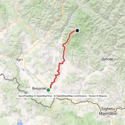
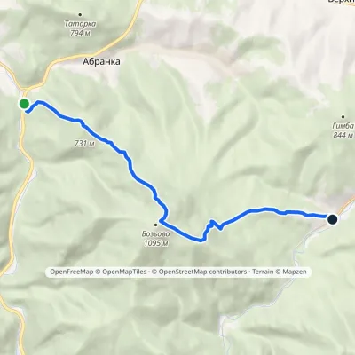
Waymarked trails
Peaks
What to see
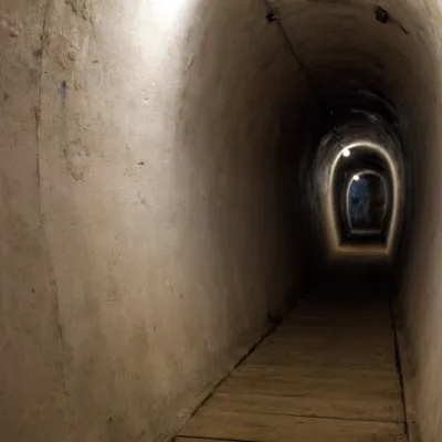 SightVerkhnya Hrabivnytsia, Arpad Line Bunker.Verkhnya HrabivnytsiaThe bunker in the village of Verkhnia Hrabivnytsia is one of the best preserved monuments of the Second World War on...
 ChurchChurch of the Assumption of the Blessed Virgin Mary, NovoselytsiaNovoselytsiaThe Church of the Assumption (built in the mid-17th century) is located in the center of Novoselytsia, a small...
FAQ
What is the Polonynian Ridge?
A chain of ridges in Zakarpattia from the Uzh to the Teresva with treeless meadow-covered summits: Rivna, Borzhava, Krasna and smaller ranges between them.
What is the highest peak of the Polonynian Ridge?
Stij, 1,681 m, on Borzhava.
Which polonyna is best for a first hike?
Borzhava: the crest is a short walk from Volovets station, and the open ridge is easy to follow even for beginners.
When is the best time to go?
May to October, ideally September, when the weather is stable and the grass turns golden.
Is Svydovets part of the Polonynian Ridge?
In the narrow sense the ridge ends at the Teresva, so Svydovets is a separate range. In a wider sense it belongs to the same belt as Chornohora.
Range boundaries: © EEA (CC BY 4.0) · GMBA Mountain Inventory v2 (CC BY 4.0) · © OpenStreetMap contributors (ODbL)
