Sheshory – Rosokhata
1.6 kmLength
61 mAscent
253 mDescent
680 mMax. altitude
464 mMin. altitude
Trail map
Where to stay nearby
Near the start · Sheshory
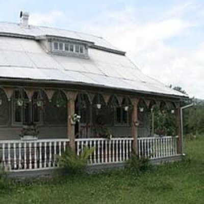
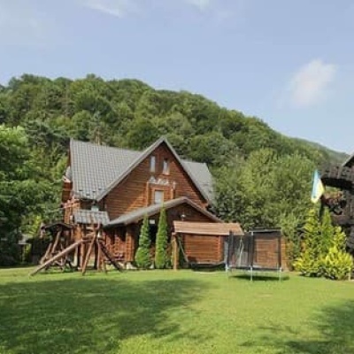
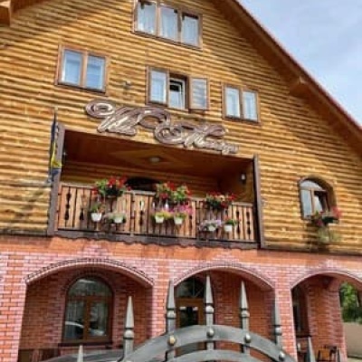
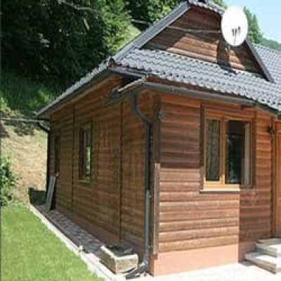
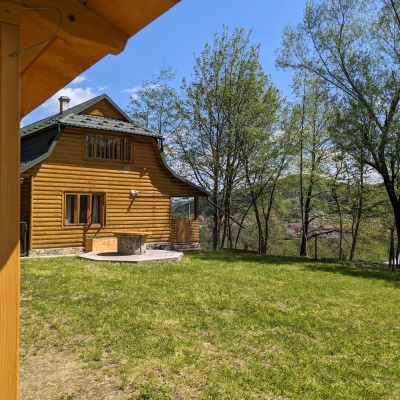
Near the finish · Sheshory
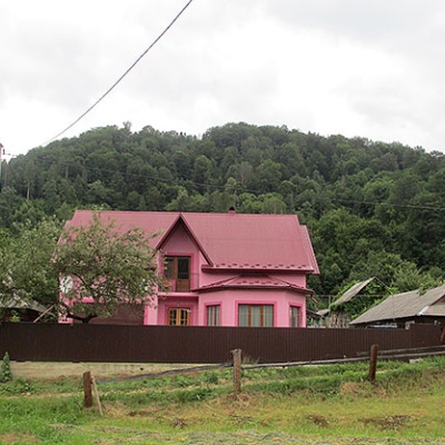
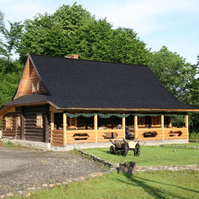
Weather and adviceLoading the forecast…
About the trail
Route Sheshory – Rosokhata. Has green marking (local routes). Along the route you will see: Dead Lake (Sheshory), Polonyna Rosokhata (Sheshory).
At a glance
A short route of 1.6 km with 61 m of ascent and 253 m of descent from Sheshory to Rosokhata. Estimated walking time: about 0.5 h, not counting stops. Difficulty: easy. Waymarking: green.
Water and overnight stays
A spring near the trail: at km 0.
Huts and shelters near the trail: Hut on Polonyna Rosokhata (km 0). Places to stay near the start and finish: Sheshory.
When to go
The route can be walked most of the year; it is most comfortable from April to October.
Getting there
Start: Sheshory.
FAQ
- How long does the route take?
- Estimated walking time: about 0.5 h, not counting stops.
- Is there water on the route?
- A spring near the trail: at km 0.
- Where can I stay overnight?
- Huts and shelters near the trail: Hut on Polonyna Rosokhata (km 0). Places to stay near the start and finish: Sheshory.
Water and shelter on the route
- Hut on Polonyna Rosokhatakm 0 from the start · Not verified · 670 m
- Spring on Polonyna Rosokhata (3)km 0.1 from the start · 50 m off the path · Not verified · 663 m
Comments
What to see on the trail
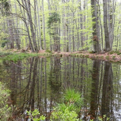 Dead Lake (Sheshory)altitude 860 mNot far from the Rosokhata valley, on the neighboring Karmatura ridge, there is the Dead Lake.
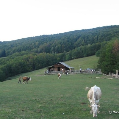 Polonyna Rosokhata (Sheshory)altitude 860 mThe territory is filled with rich flora and fauna. In the forest, you can meet animals: deer, wild boar, fox, amphibians (salamanders), and birds.
Trails nearby
All trails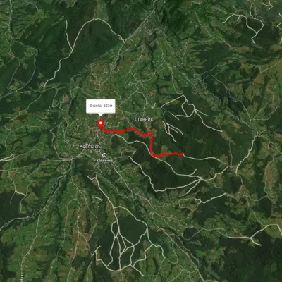 EasyOne-dayMarkedOpryshky RoadElevation profile625–762 m2.5 kmascent 77 m≈ 45 min walking
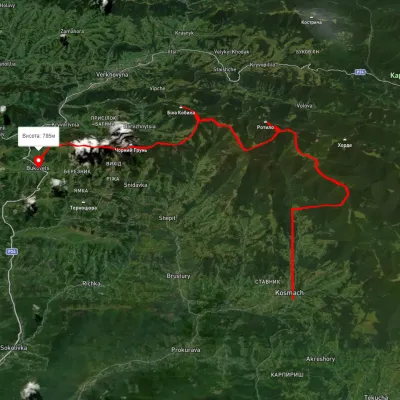 HardMulti-dayUnmarkedKosmach village to Bukovets villagevia Mount Rotylo, Mount Hrehit +1Elevation profile612–1 461 m40.2 kmascent 1 739 m≈ 13.5 h walking
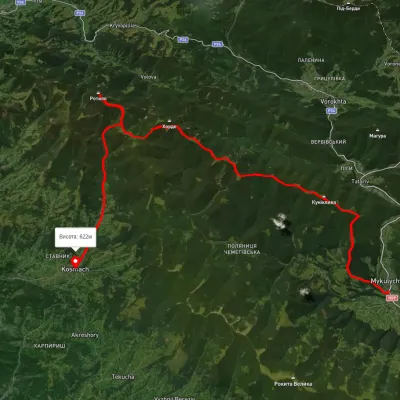 HardMulti-dayUnmarkedMykulychyn village to Kosmach villagevia Mount Khorde, Mount RotyloElevation profile592–1 448 m39.7 kmascent 1 591 m≈ 13 h walking