Opryshky Road
Trail map
Where to stay nearby
About the trail
Route Opryshky Road. Has yellow marking (short routes, connecting paths, shortcuts). Along the route you will see: Church of St. Paraskeva, Kosmach, Oleksa Dovbush Museum, Kosmach, Kosmatska's bald head, Church of the Holy Apostles Peter and Paul, Kosmach, Historical and local history museum of Kosmach village, Ukrainian Antiquities Museum in Kosmach and 1 more.
At a glance
A short route of 2.5 km with 77 m of ascent. Estimated walking time: about 0.5 h, not counting stops. Difficulty: easy. Waymarking: yellow.
Route stages
- 0–1 kmGentle ups and downs at 710–760 m
- 1–2.5 kmDescent of 130 m to Oleksa Dovbush Museum
Steepest kilometre: km 1–2, a descent of 130 m (≈13%), near Oleksa Dovbush Museum.
Water and overnight stays
A spring near the trail: at km 1.5.
Places to stay near the finish: Kosmach.
When to go
The route can be walked most of the year; it is most comfortable from April to October.
Getting there
This is a one-way route: the finish is 2 km from the start in a straight line, so plan your way back in advance.
FAQ
- How long does the route take?
- Estimated walking time: about 0.5 h, not counting stops.
- Is there water on the route?
- A spring near the trail: at km 1.5.
- Where can I stay overnight?
- Places to stay near the finish: Kosmach.
Water and shelter on the route
- Spring (Kosmach, 7)km 1.4 from the start · Not verified · 720 m
Comments
What to see on the trail
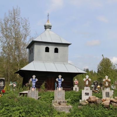 Church of St. Paraskeva, Kosmachaltitude 612 mIn the village of Kosmach, Kosiv district, Ivano-Frankivsk region, there is the Church of St.
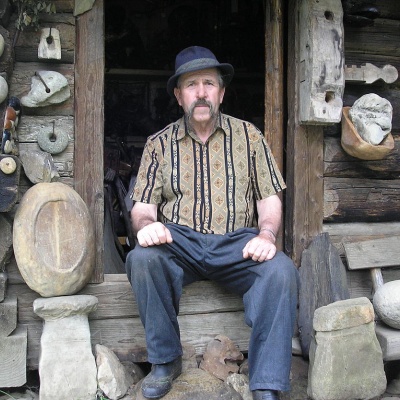 Oleksa Dovbush Museum, Kosmachaltitude 612 mThere are a large number of museums in our region. They are located not only in Ivano-Frankivsk, but also throughout our region.
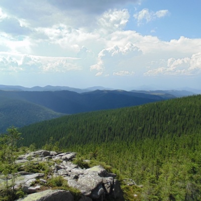 Kosmatska's bald headaltitude 612 mThe mighty Kosatska Lysyna (1464m) is an extremely picturesque peak that is worth visiting for everyone who is in love with the Carpathians.
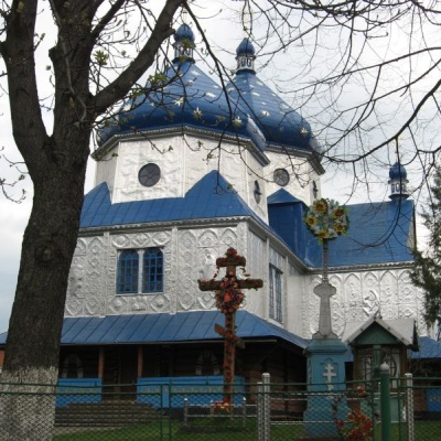 Church of the Holy Apostles Peter and Paul, Kosmachaltitude 612 mAnd it is impossible to imagine Kosmach without its wooden churches, especially the ancient Church of Peter and Paul, which rises above the village...
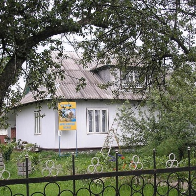 Historical and local history museum of Kosmach villagealtitude 612 mThe KosmachHistorical and Local Lore Museum is a historical and local lore house museum in the village of Kosmach, Kosiv district, Ivano-Frankivsk...
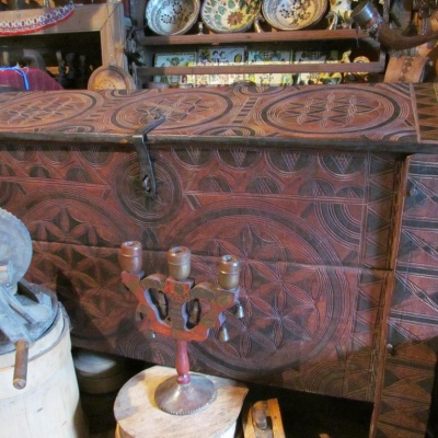 Ukrainian Antiquities Museum in Kosmachaltitude 612 m
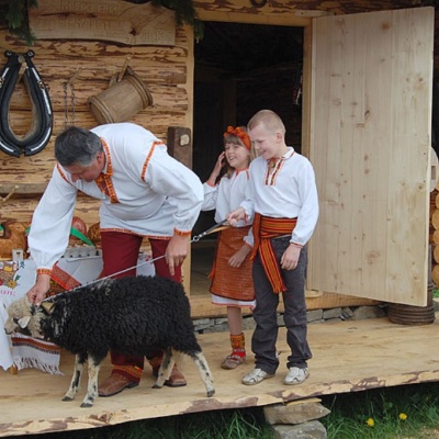 Museum of sheep breeding in Kosmachaltitude 612 mWe will learn about the traditional occupation of highlanders - sheep breeding, the process of milk processing, cheese, vurda and brynza production...
Trails nearby
All trails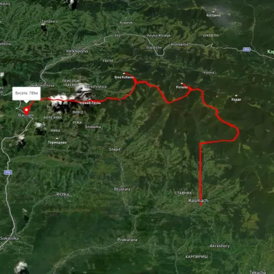 HardMulti-dayUnmarkedKosmach village to Bukovets villagevia Mount Rotylo, Mount Hrehit +1Elevation profile612–1 461 m40.2 kmascent 1 739 m≈ 13.5 h walking
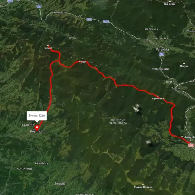 HardMulti-dayUnmarkedMykulychyn village to Kosmach villagevia Mount Khorde, Mount RotyloElevation profile592–1 448 m39.7 kmascent 1 591 m≈ 13 h walking
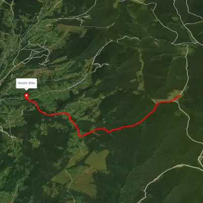 EasyOne-dayMarkedMedvezhyi tract Mount KuratulElevation profile648–1 112 m5.6 kmascent 100 m≈ 1.5 h walking