Polonyna Pozhizhevska (Pozhizhevskaya)
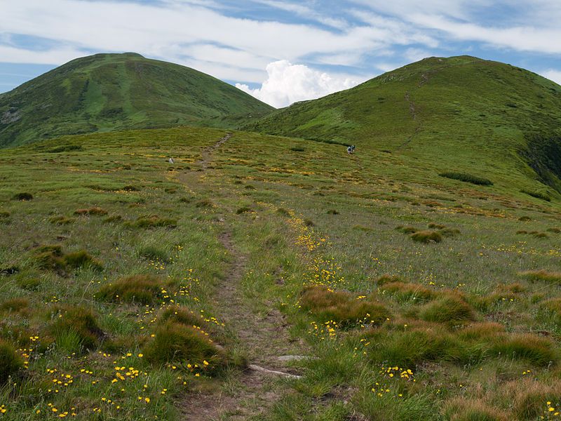
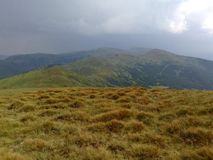
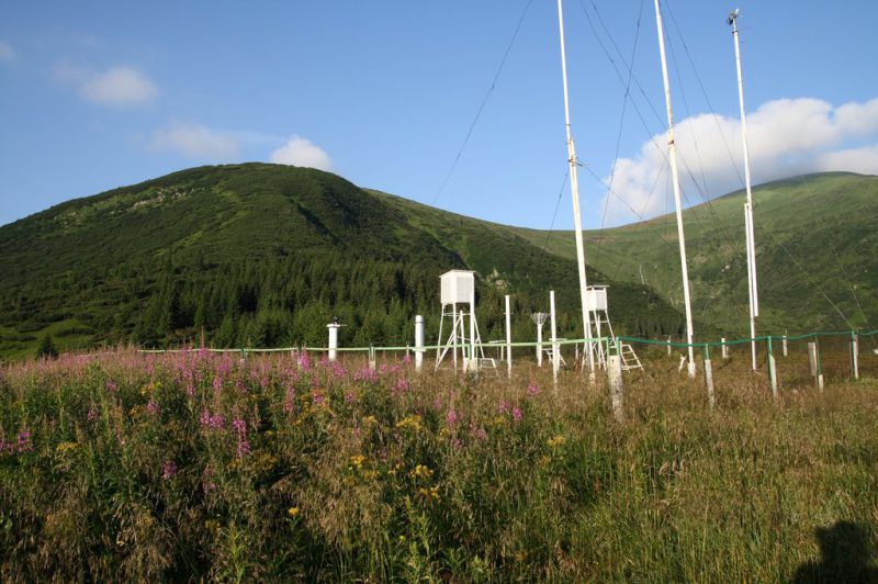
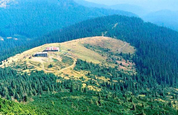
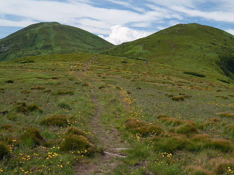
The Pozhyzhevska (or Pozhezhevska) mountain meadow is a real Carpathian record holder. It is here that the highest Ukrainian weather station is located. In addition, the meadow is the windiest place in the Carpathians and the wettest in Ukraine. The route is not difficult, even pensioners can make it. Incredible beauty, wonderful views. Polonyna lies at an altitude of 1382-1822 meters.
Facts about the meadow
The Pozhyzhevska meadow lies at the foot of the mountain of the same name in the Montenegrin ridge. This treeless area is located on the territory of the Carpathian Biosphere Reserve. For more than a hundred years (since 1899), the meadow has been home to a meteorological station, which also serves as an avalanche station, and the Highland Hospital of the Institute of Carpathian Ecology of the National Academy of Sciences of Ukraine. From the part of the meadow where the weather station is located, you can enjoy a beautiful view of the Breskul and Dantsizh mountains, and the highest mountain in Ukraine, Hoverla, is clearly visible from here.
Getting there
Polonyna Pozhyzhevska is located in the Nadvirna district of Ivano-Frankivsk region. You can get here from Vorokhta or from the Zaroslyak sports base near Hoverla. Vorokhta is easily accessible by train from Lviv and Kyiv, and by bus from Ivano-Frankivsk. You can rent a car to Zaroslyak from Vorokhta. From the base, you need to walk to Mount Pozhyzhevska, and from there it's just a short walk to the meadow.
Location on the map
Water and shelter nearby
- Spring below Mount Velyka Kozmeska (10)1.1 km · Not verified · 1 272 m
- Spring below Mount Breskul (7)1.4 km · Not verified · 1 514 m
- Spring below Mount Velyka Kozmeska (9)1.4 km · Not verified · 1 293 m
- Spring below Mount Pozhyzhevska1.6 km · Not verified · 1 708 m
- Spring below Mount Dantsizh1.6 km · Not verified · 1 621 m
- Spring below Mount Breskul (6)1.7 km · Not verified · 1 599 m
- Drinking water below Mount Velyka Kozmeska (2)1.7 km · Not verified · 1 348 m
- Spring below Mount Velyka Kozmeska (4)1.7 km · Not verified · 1 503 m
- Drinking water below Mount Velyka Kozmeska1.8 km · Not verified · 1 363 m
- Spring below Mount Breskul (5)1.9 km · Not verified · 1 679 m
- Spring below Mount Velyka Kozmeska (5)2.1 km · Not verified · 1 430 m
- Spring below Mount Breskul (4)2.5 km · Not verified · 1 778 m
- Spring below Mount Velyka Kozmeska (2)2.5 km · Not verified · 1 620 m
- Spring below Mount Dantsizh (2)2.6 km · Not verified · 1 662 m
- Spring below Mount Breskul (3)2.7 km · Not verified · 1 731 m
- Spring below Mount Homul2.8 km · Not verified · 1 366 m
Comments
Places to stay nearby
All stays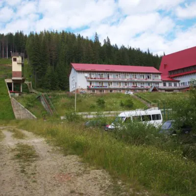 HotelTraining and Sports Base "Zaroslyak" at HoverlaVorokhta1.2 km from Polonyna Pozhizhevska (Pozhizhevskaya)PoolSaunaParkingNearby: Polonyna Pozhizhevska 1.2 kmMt Hoverla 2.8 km32 trails
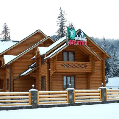 HotelHotel "Desyatka" Vorokhta (near Hoverlyansky Checkpoint)Vorokhta7.4 km from Polonyna Pozhizhevska (Pozhizhevskaya)PoolSaunaBreakfastNearby: Mt Kukul 3.6 kmPolonyna Kukul 4.0 km5 trails
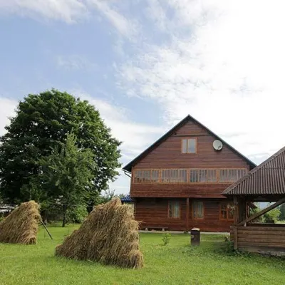 HomesteadHomestead "PID YAVOROM" Vorokhta (Tenth Kilometer)Vorokhta7.6 km from Polonyna Pozhizhevska (Pozhizhevskaya)SaunaBBQKitchenNearby: Mt Kukul 3.7 kmPolonyna Kukul 4.1 km5 trails
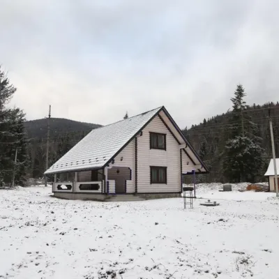 HomesteadHomestead "SWEET HOME" Vorokhta (Tenth Kilometer)Vorokhta7.6 km from Polonyna Pozhizhevska (Pozhizhevskaya)SaunaBBQKitchenNearby: Mt Kukul 3.7 kmPolonyna Kukul 4.1 km5 trails
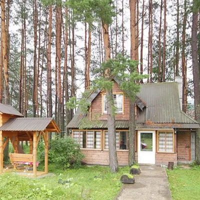 HomesteadHomestead "Sosnovyi Dvir" Vorokhta (Tenth Kilometer)Vorokhta7.6 km from Polonyna Pozhizhevska (Pozhizhevskaya)SaunaBBQKitchenNearby: Mt Kukul 3.7 kmPolonyna Kukul 4.1 km5 trails
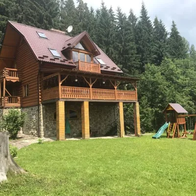 CottageCottage "Try Hory" Vorokhta (Tenth Kilometer)Vorokhta7.6 km from Polonyna Pozhizhevska (Pozhizhevskaya)SaunaBBQKitchenNearby: Mt Kukul 3.7 kmPolonyna Kukul 4.1 km5 trails
Trails nearby
All trails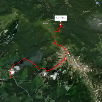 HardTwo-dayUnmarkedLuhy village to Zaroslyak basevia Mount Hutyn Tomnatyk, Mount Rebra +2Elevation profile652–1 999 m22.4 kmascent 1 813 m≈ 9 h walkingunder 1 km from Polonyna Pozhizhevska (Pozhizhevskaya)
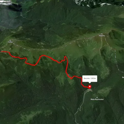 EasyOne-dayUnmarkedZaroslyak base Lake NesamovyteElevation profile1 262–1 738 m7.6 kmascent 153 m≈ 2 h walkingunder 1 km from Polonyna Pozhizhevska (Pozhizhevskaya)
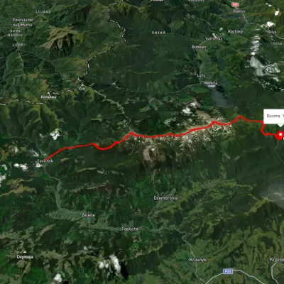 HardMulti-dayUnmarkedShybene village to Zaroslyak basevia Mount Pip Ivan Chornohirskyi, Lake Nesamovyte +1Elevation profile848–2 019 m29.6 kmascent 2 032 m≈ 11.5 h walkingunder 1 km from Polonyna Pozhizhevska (Pozhizhevskaya)
Nearby attractions
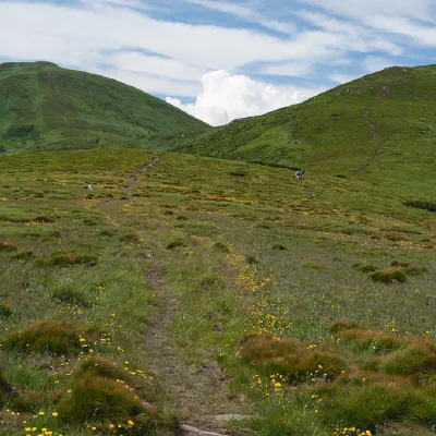 PeakMount PozhyzhevskaBystretsaltitude 1 822 m · Chornohora range1.4 km from Polonyna Pozhizhevska (Pozhizhevskaya)83 trails to the topMount Pozhyzhevska (or Pozhezhevska) is one of the peaks of the Ukrainian Carpathians. It is located in the northwestern part of the Chornohora mountain range on the...
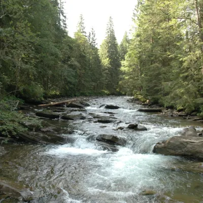 RiverPrutKryvopillia1.7 km from Polonyna Pozhizhevska (Pozhizhevskaya)The Prut River is a river that connects several countries and is of great natural, historical and cultural importance.
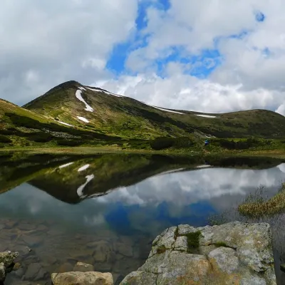 LakeHigh-mountainous Lake Nesamovite (1750 m.a.s.l., Chornohora ridge)Vorokhta3.5 km from Polonyna Pozhizhevska (Pozhizhevskaya)Nesamovyte is one of the highest lakes in the Ukrainian Carpathians (1750 m above sea level). It is located within the Nadvirna district of Ivano-Frankivsk region.