Luhy village — to Zaroslyak base, via Mount Hutyn Tomnatyk, Mount Rebra, Lake Nesamovyte, Mount Pozhyzhevska
Unmarked trailmore
It may be partly marked. Unmarked trails have no information boards, signposts or auxiliary signs (water, campsite, etc.). The decision to walk the trail is entirely your own responsibility.
Trail map
Where to stay nearby
About the trail
Route Luhy village, via Mount Hutyn Tomnatyk, Mount Rebra, Lake Nesamovyte and Mount Pozhyzhevska to Zaroslyak base. Along the route you will see: Mount Gutin Tomnatik, Lake Brebeneskul, Mount Rebra, Polonyna Gadzhina, High-mountainous Lake Nesamovite (1750 m.a.s.l., Chornohora ridge), Mount Turkul and 2 more.
At a glance
A one-day route of 22.4 km with 1,813 m of ascent from Luhy village to Zaroslyak base. Estimated walking time: about 8.5 h, not counting stops. Difficulty: hard. Waymarking is missing or partial.
Route stages
- 0–12 kmClimb of 1,330 m to Mount Gutin Tomnatik (2,016 m)
- 12–17 kmAlong the ridge at 1,760–1,990 m, past Mount Rebra, Mount Turkul
- 17–22 kmDescent of 610 m to Zaroslyak base
Steepest kilometre: km 9–10, a climb of 390 m (≈38%).
Water and overnight stays
Springs near the trail: at km 3, 5, 13, 16, 20 and 22. There are no springs between km 5 and 13 — carry at least 2.5 l of water. Some springs run low or dry up in late summer.
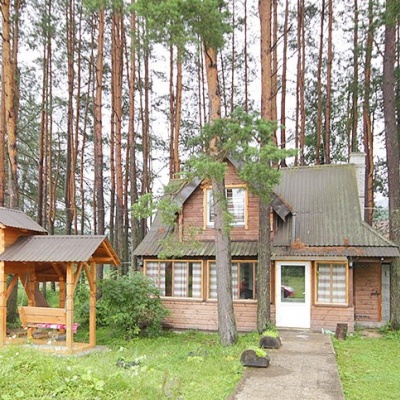
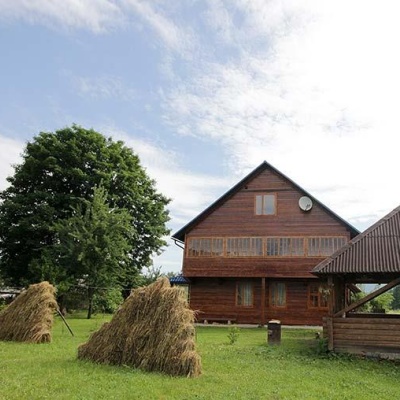
Places to stay near the finish: Vorokhta.
When to go
Best time: June to September. In winter only for experienced hikers with proper gear: avalanche danger is possible. About 10 km of the route runs above 1,500 m, where the weather changes quickly — check the forecast.
Getting there
Start: Luhy village. This is a one-way route: the finish is 12 km from the start in a straight line, so plan your way back in advance.
FAQ
- How long does the route take?
- Estimated walking time: about 8.5 h, not counting stops.
- Is there water on the route?
- Springs near the trail: at km 3, 5, 13, 16, 20 and 22. There are no springs between km 5 and 13 — carry at least 2.5 l of water. Some springs run low or dry up in late summer.
- Where can I stay overnight?
- Places to stay near the finish: Vorokhta.
Water and shelter on the route
- Mineral spring (Luhy, 2)km 2.7 from the start · 50 m off the path · Not verified · 727 m
- Spring (Luhy, 5)km 4.6 from the start · Not verified · 768 m
- Spring below Mount Hutyn Tomnatykkm 12.7 from the start · 280 m off the path · Has water · 1 791 m
- Spring below Mount Hutyn Tomnatyk (3)km 13.2 from the start · 240 m off the path · Not verified · 1 881 m
- Spring below Mount Turkul (5)km 16 from the start · 50 m off the path · Not verified · 1 745 m
- Spring below Mount Pozhyzhevskakm 19.3 from the start · 220 m off the path · Not verified · 1 708 m
- Spring below Mount Velyka Kozmeska (10)km 22.2 from the start · Not verified · 1 272 m
Comments
What to see on the trail
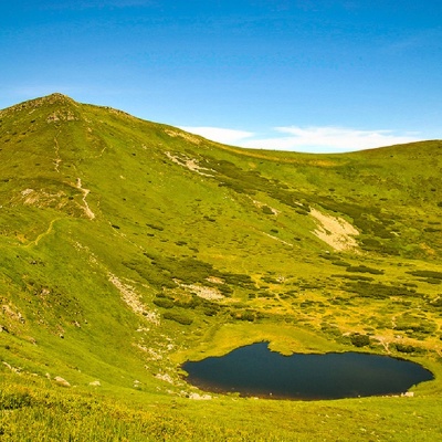 Mount Gutin Tomnatikaltitude 2 016 mHutyn Tomnatyk is one of the highest and most beautiful peaks of the Ukrainian Carpathians.
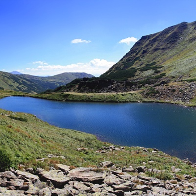 Lake Brebeneskulaltitude 1 801 mBrebeneskul is the highest mountain lake in the Ukrainian Carpathians (1801 m above sea level), a hydrological natural monument of local importance...
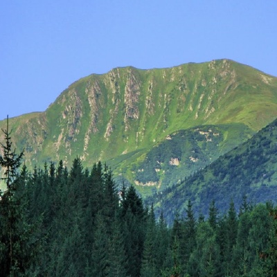 Mount Rebraaltitude 2 001 mMount Rebra, with a height of 2001 meters, is located in the central part of the Chornohora ridge.
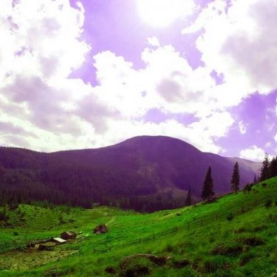 Polonyna Gadzhinaaltitude 771 mIt seemed that the Chornohora massif was literally crowded with people, but sometimes you can come across places that either locals or tourists who...
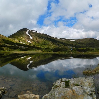 High-mountainous Lake Nesamovite (1750 m.a.s.l., Chornohora ridge)altitude 1 750 mNesamovyte is one of the highest lakes in the Ukrainian Carpathians (1750 m above sea level).
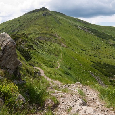 Mount Turkulaltitude 1 933 mTurkul, 1933 meters high, is one of the peaks of the Ukrainian Carpathians, located in the Chornohora mountain range.
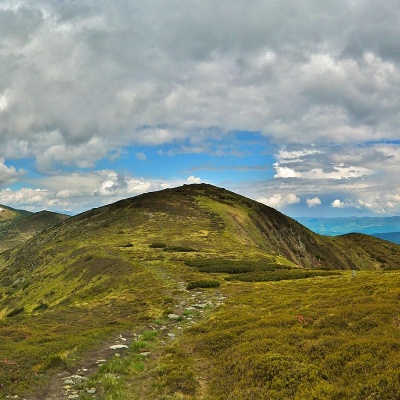 Mount Dantsizhaltitude 1 850 mDantsizh (also known as Danzer) is a peak of the Ukrainian Carpathians, 1850 meters high. The mountain is located on the Chornohora mountain range ...
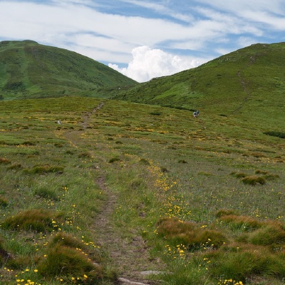 Mount Pozhyzhevskaaltitude 1 822 mMount Pozhyzhevska (or Pozhezhevska) is one of the peaks of the Ukrainian Carpathians. It is located in the northwestern part of the Chornohora...
Trails nearby
All trails HardMulti-dayMarkedTranscarpathian Tourist TrailElevation profile198–2 031 m393.2 kmascent 30 283 m
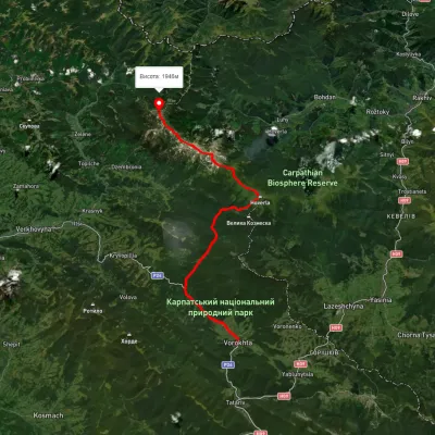 HardMulti-dayUnmarkedVorokhta to Mount Pip Ivan Chornohirskyivia Zaroslyak base, Mount Hoverla +2Elevation profile746–2 043 m42.2 kmascent 2 377 m
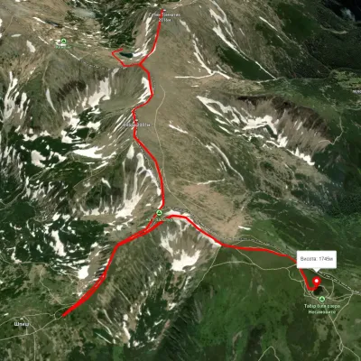 EasyOne-dayUnmarkedLake Brebeneskul to Lake Nesamovytevia Mount Rebra, Mount ShpytsiElevation profile1 737–1 999 m7 kmascent 421 m≈ 2.5 h walking