Mount Breskul
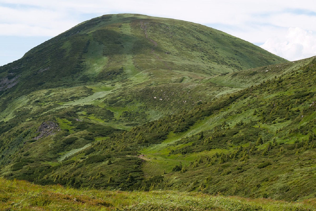
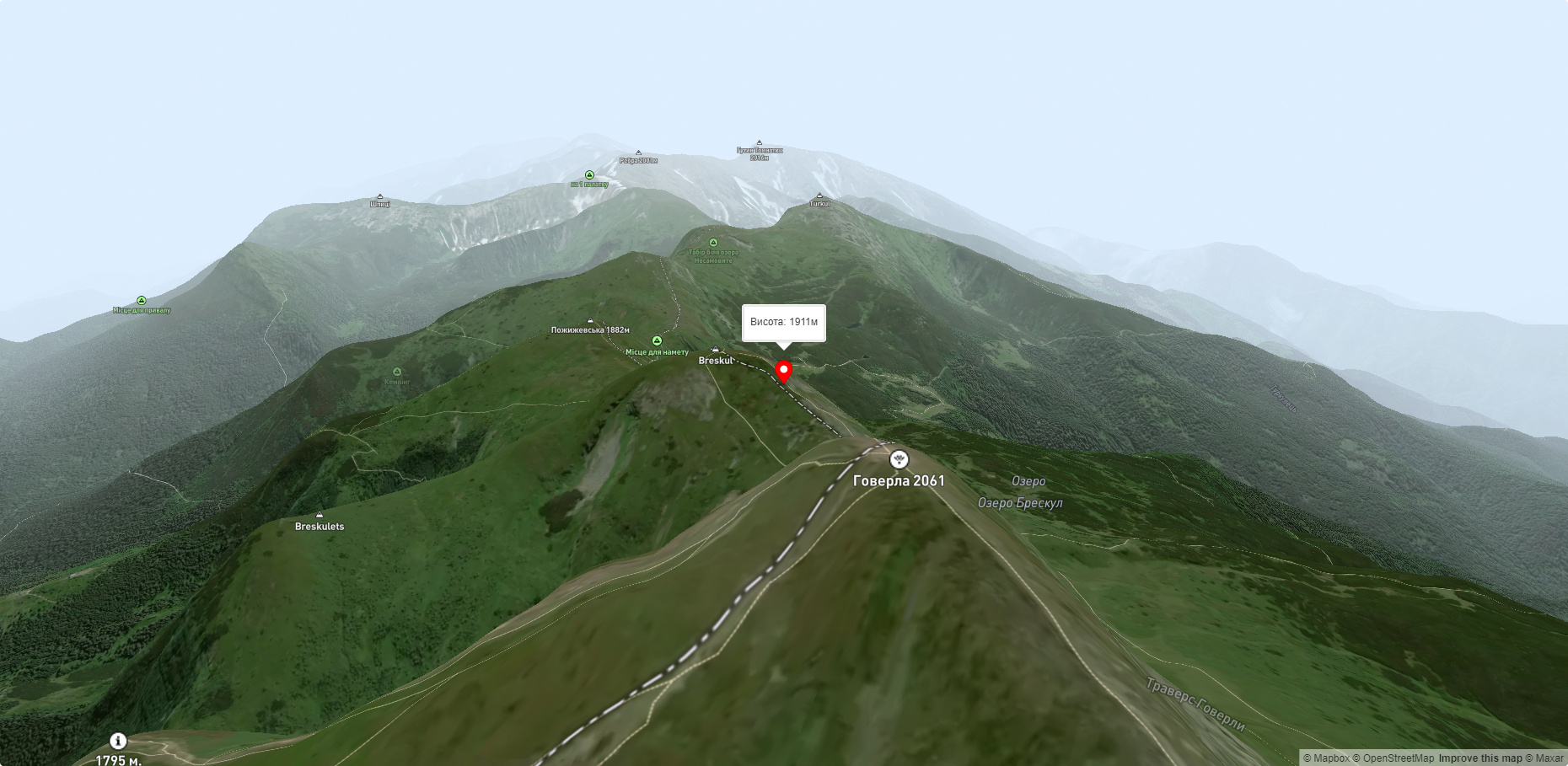
Breskul (another name for the mountain is Bretskul), 1911 meters high, is a famous mountain peak in the Ukrainian Carpathians, located in the Chornohora mountain range on the border of Zakarpattia and Ivano-Frankivsk regions.
It is believed that the name of the mountain comes from the Hutsul dialect and is most likely related to its shape, meaning "inflated," "swollen," or "swollen."
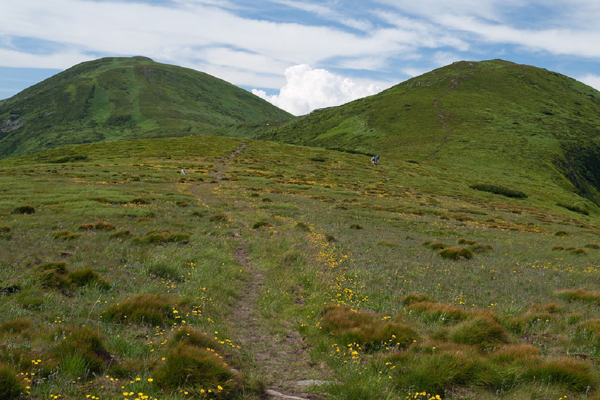
Breskul is located between two peaks - Mount Hoverla (2061 m) and Mount Pozhyzhevska (1822 m).
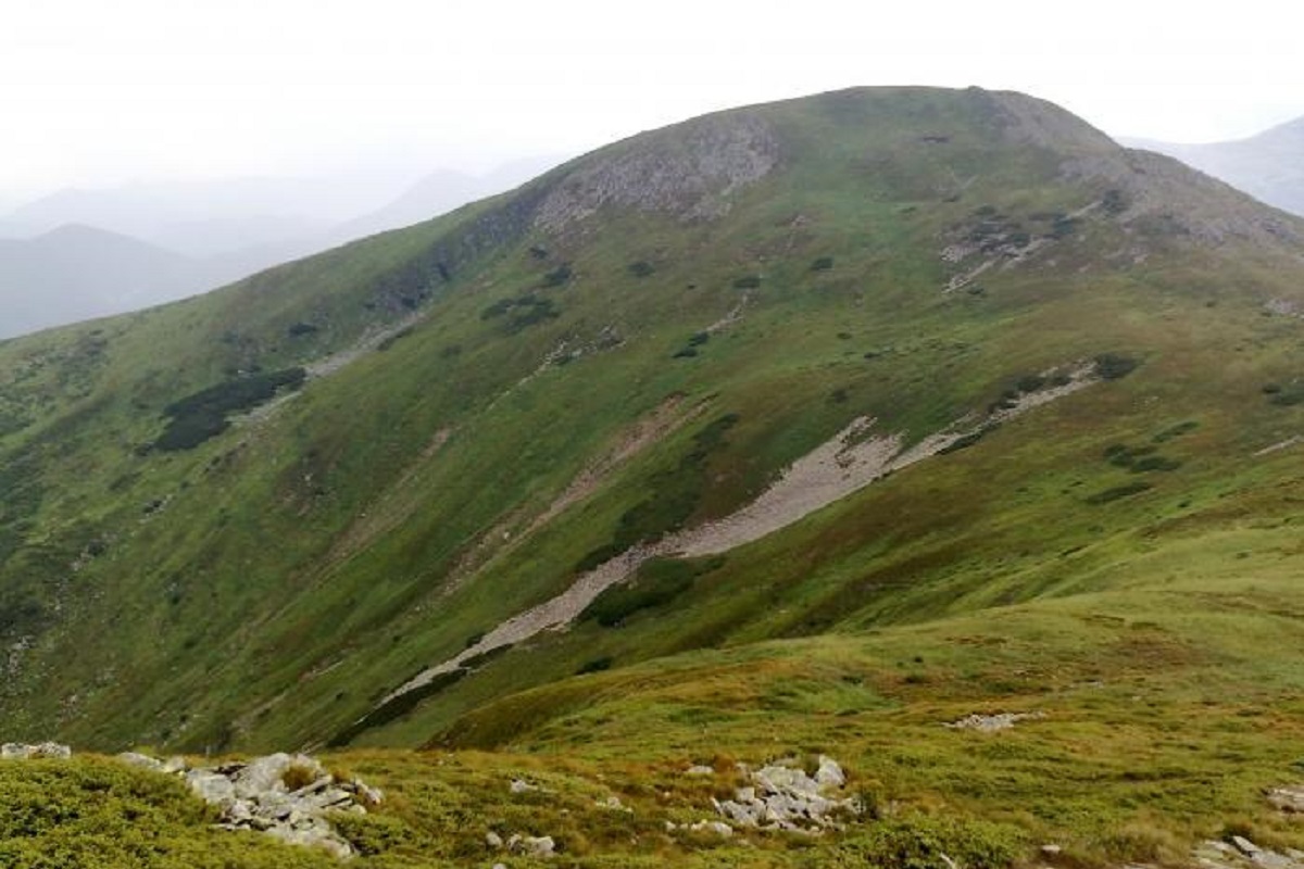
The top of Mount Breskul has a dome shape: the northern slopes are quite steep with steep stone scree, the southeastern slopes are gentler, covered with various alpine and subalpine plants (grasses, flowers and shrubs - juniper and juniper).
To the west of Breskul there is a wide hollow formed in a glacial depression with several small and unstable lakes, the largest and most famous of which is Breskul Island.
The nearest settlement is the village of Bystrets, Verkhovyna district, Ivano-Frankivsk region.
Accommodation around Mount Breskul:


Nearby hiking trails near Mount Breskul:
Які маршрути проходять повз Mount Breskul?
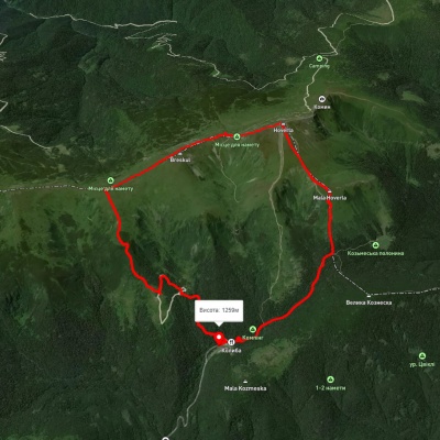
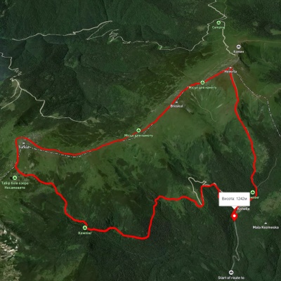
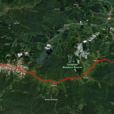
Пропонуємо пройти такі туристичні (пішохідні) маршрути через/біля Mount Breskul: турбаза "Заросляк", через г. Говерла, г. Пожижевська до турбази "Заросляк", Турбаза "Заросляк", через г. Говерла і оз. Несамовите, до турбази "Заросляк", г. Піп Іван Чорногірський, через г. Говерла, г. Петрос до с. Кваси, с. Кривопілля, через г. Туркул, г. Говерла, г. Петрос до с. Кваси, с. Дземброня, через г. Піп Іван Чорногірський до г. Говерла, смт. Ворохта, через турбазу "Заросляк", г. Говерла, оз. Несамовите, г. Дземброня до с. Піп Іван Чорногірський