Small tortoiseshell
About
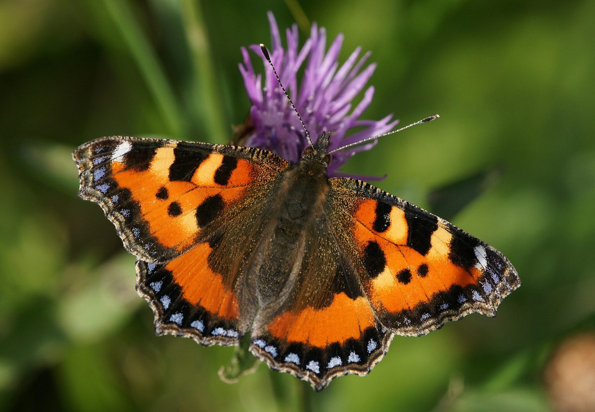
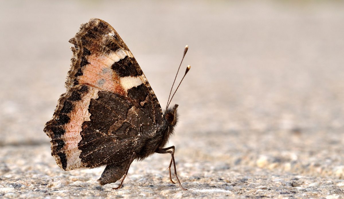
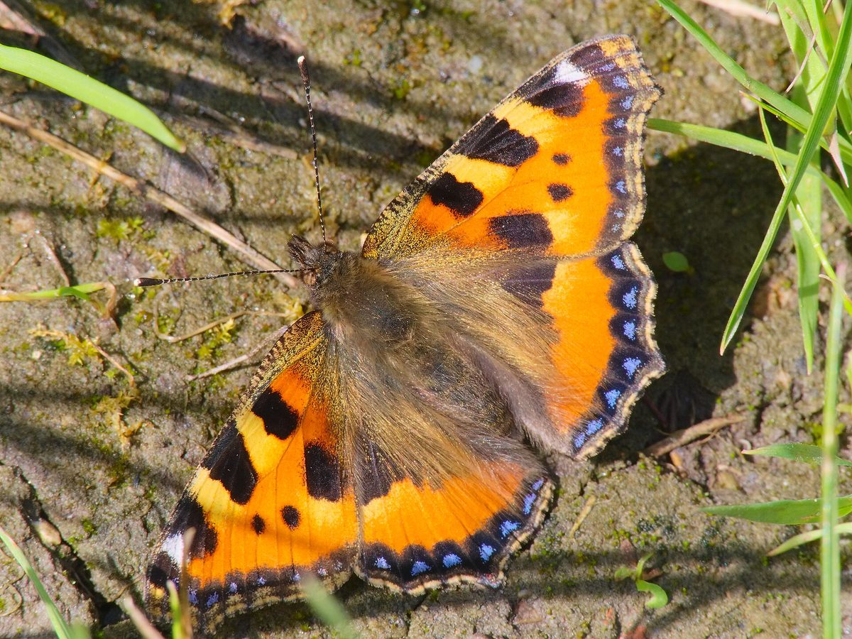
The Small tortoiseshell, or Aglais urticae, is one of the most common daytime butterflies. Its wingspan is about 5 cm. The wings are brick-red; along the front edge, there are alternating black and yellow spots, a white dot near the tip, and a row of blue crescents with a dark border along the edges of both pairs of wings. The underside is dark brown and inconspicuous.
In the Carpathians, the Small tortoiseshell can be seen everywhere: in gardens and fields, on meadows, forest clearings, near Kolibas and on polonynas up to the subalpine zone. In summer, the butterflies ascend high into the mountains and feed on the flowers of thyme, sow thistles, and arnica.
The adult insect hibernates. In autumn, Small tortoiseshells hide in attics, barns, woodpiles, caves, and hollows, and on the first warm days, sometimes as early as February or March, they emerge. If you find a sleepy butterfly in your house during winter, move it to a cool, unheated room: in warmth, it will quickly exhaust itself.
The caterpillars are black with yellow longitudinal stripes and spines, living communally in a web nest on stinging nettle. Usually, there are two generations per year.
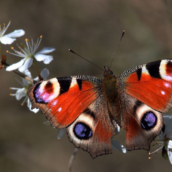
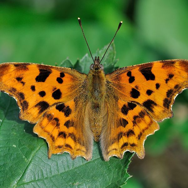
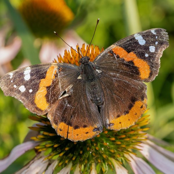
Lookalikes include the Comma butterfly (Polygonia c-album) with notched wing edges and the rarer Meadow brown (Maniola jurtina), which is larger, duller, and lacks the white dot near the tip of the wing.
Where in the Carpathians

The map shows where naturalists recorded the species (GBIF, CC0 and CC BY records), not every place it lives. The Ukrainian Carpathians are less studied, so a blank area does not mean the species is absent.
- Countries
- Romania · Hungary · Slovakia · Ukraine · Austria · Poland · Czechia
- Mountain ranges
- High Tatras, Mátra, Bihor-Vlădeasa Mountains, Bucegi Mountains, Lesser Fatra, Bükk, Skole Beskids, Maramureș Mountains, Slovak Central Mountains, Börzsöny and Cserhát
- Altitude belts
- Foothills (below 600 m) · Beech forests (600–1200 m)
When to see it
| Jan | Feb | Mar | Apr | May | Jun | Jul | Aug | Sep | Oct | Nov | Dec | |
|---|---|---|---|---|---|---|---|---|---|---|---|---|
| Sightings |
From naturalists’ observations in the Carpathians (iNaturalist, research grade): the darker the cell, the more often the species is seen that month.
Protection and rules
Not listed in the Red Book of Ukraine.
FAQ
Where does the Small tortoiseshell hibernate?
The adult butterfly hibernates in attics, barns, woodpiles, caves, and hollows. It emerges on the first warm days at the end of winter.
What to do with a butterfly that has awakened in the house during winter?
Carefully move it to a cool, unheated room — to the attic or pantry. In warmth, it will use up its reserves and die by spring.
Similar species
Where to meet it
Trails
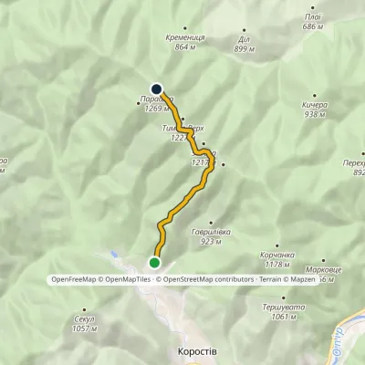 EasyOne-dayMarkedNo. 5044 Korostiv Monastery Mount ParashkaElevation profile653–1 268 m5.8 kmascent 671 m≈ 3 h walking
 HardTwo-dayMarkedSkole loopvia Mount ParashkaElevation profile442–1 268 m20.3 kmascent 1 029 m≈ 7 h walking
 ModerateOne-dayMarkedSkole Mount ParashkaElevation profile447–1 268 m9.9 kmascent 935 m≈ 4.5 h walking
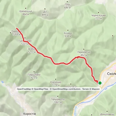 ModerateTwo-dayMarkedSkole loopvia Mount ParashkaElevation profile449–1 268 m19.5 kmascent 1 042 m≈ 7 h walking
 ModerateTwo-dayMarkedSkole loopvia Mount ParashkaElevation profile459–1 268 m17.9 kmascent 1 031 m≈ 6.5 h walking
 ModerateOne-dayMarkedSkole Mount ParashkaElevation profile449–1 268 m10.2 kmascent 929 m≈ 4.5 h walking
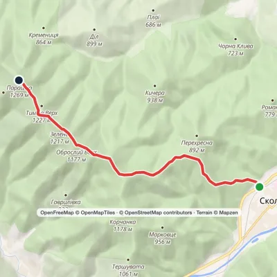 ModerateOne-dayMarkedSkole Mount ParashkaElevation profile450–1 268 m9.1 kmascent 930 m≈ 4 h walking
 ModerateOne-dayMarkedSkole Mount ParashkaElevation profile447–1 268 m10.4 kmascent 945 m≈ 4.5 h walking
 HardMulti-dayKorchyn village to Krushelnytsia villagevia Hurkalo Waterfall, Mount ParashkaElevation profile396–1 268 m39.2 kmascent 1 094 m≈ 12 h walking
 ModerateOne-daySkole loopvia Mount Markovtse, Mount KorchankaElevation profile446–1 178 m13.4 kmascent 756 m≈ 5 h walking
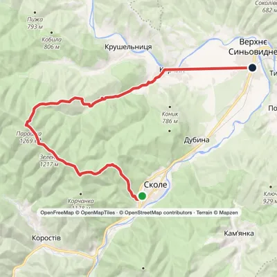 HardMulti-daySkole to Verkhnie Synovydne villagevia Mount Parashka, Hurkalo Waterfall +1Elevation profile389–1 268 m26.8 kmascent 1 002 m≈ 8.5 h walking
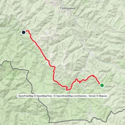 HardMulti-dayMarkedMount Yarovytsia to the Holy Trinity Monasteryvia the Pryluchnyi ridge, Mount PnivieElevation profile955–1 599 m32.5 kmascent 1 068 m≈ 10.5 h walking
Peaks and meadows
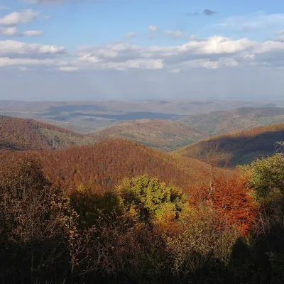 PeakMount Obroslyi VerkhSkolealtitude 1 177 m · Skole Beskids range1 trail to the topObroslyi Verkh is a 1,177 m summit in the south-eastern part of the Parashka ridge in the Skole Beskids (Lviv Oblast).
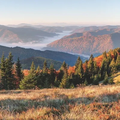 PeakMount ZelenaKorostivaltitude 1 217 m · Skole Beskids range1 trail to the topZelena is a 1,217 m summit on the Parashka ridge in the Skole Beskids, Lviv Oblast.
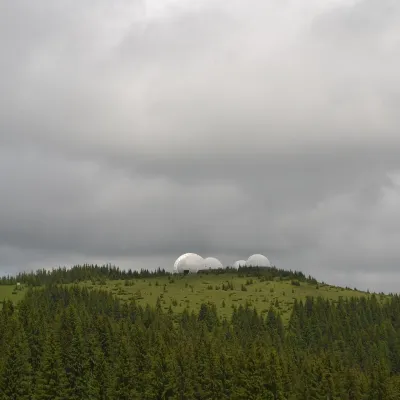 Mountain meadow1 565 mMount Tomnatyk (Yalovychory)SarataTomnatyk is a 1,565 m mountain in the Yalovychory Mountains, on the Tomnatykul ridge.
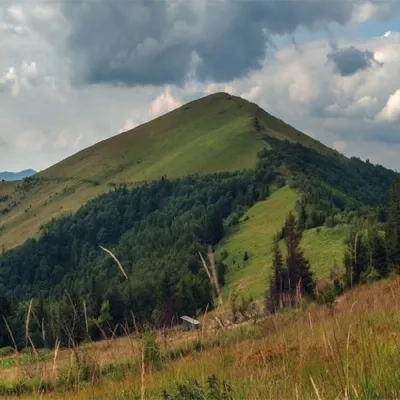 PeakMount ParashkaSkolealtitude 1 268 m · Skole Beskids range17 trails to the topParashka (1268 m) is the highest peak of the ridge of the same name in the Skole Beskids, 8 km north-west of Skole; a...
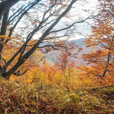 PeakMount Dil (Krushelnytsia)Krushelnytsiaaltitude 899 m · Skole Beskids rangeIt lies north-east of the Parashka ridge, about 2.6 km from Parashka itself (1,268 m), and rises above the village of...
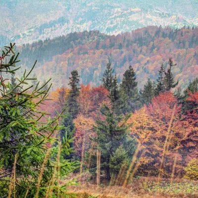 PeakMount Tymkiv VerkhKorostivaltitude 1 227 m · Skole Beskids range1 trail to the topTymkiv Verkh (also spelled Tymkyn Verkh) is a 1,227 m summit on the Parashka ridge in the Skole Beskids, Lviv Oblast.
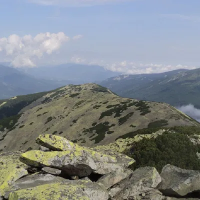 PeakMount BorevkaStara Hutaaltitude 1 596 m · Gorgany range19 trails to the topMount Borevka is a 1,596-meter peak of the Ukrainian Carpathians, located in the northeastern part of the...
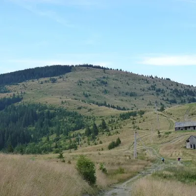 PeakMount YarovytsiaVerkhnyi Yalovetsaltitude 1 574 m8 trails to the topYarovytsia is the peak of the Yalovychora Mountains in the Ukrainian Carpathians, located on the Yarovets Ridge ,...
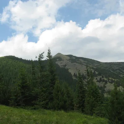 PeakSrednya MountainOsmolodaaltitude 1 639 m · Gorgany range12 trails to the topSerednya is a 1,639-meter peak of the Ukrainian Carpathians, which is located within the Gorgan mountain range.
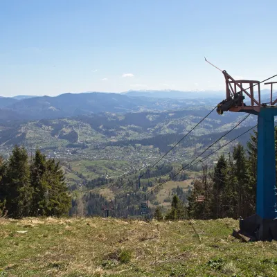 PeakMount TrostianSlavskealtitude 1 232 m · Skole Beskids rangeTrostian is a peak of the Skole Beskids in Lviv Oblast, west of the town of Slavske.
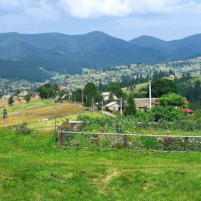 PeakMount OseredokVorokhtaaltitude 915 m · Chornohora range1 trail to the topOseredok is a modest 915 m summit right above Vorokhta (about 2 km), north of the Chornohora range, in Ivano...
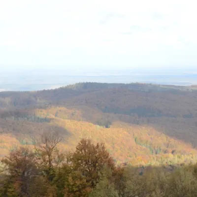 PeakMount BobovyshcheOrivaltitude 817 m4 trails to the topBobovyshche (also called Popivska) is an 817 m mountain in the Upper Dniester Beskids, Lviv Oblast.
Waters and waterfalls
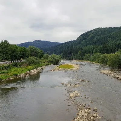 RiverOpir RiverSkoleThe Opir is a 58-km mountain river of the Skole Beskids. It rises on the eastern slope of Mount Velykyi Yavirnyk,...
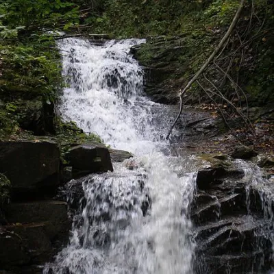 WaterfallChemernarsky Hook waterfallDolishnii ShepitChemernarsky Huk Waterfall is a small but very beautiful waterfall located in the village of Dolishniy Shepit,...
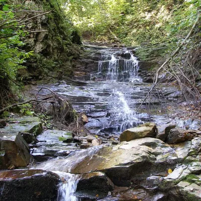 WaterfallChemernarsky waterfall Lower HookDolishnii ShepitThe Chemernarsky Lower Hook Waterfall (also known as Lower Shepit) is located in Dolishnyi Shepit, in the western...
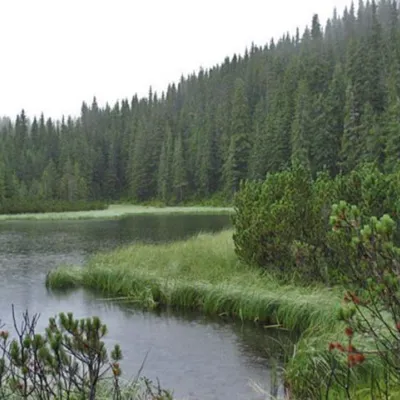 LakeLake MaricheykaYavirnyk (Shybene)Lake Maricheyka is one of the most picturesque high-altitude glacial lakes in the Carpathians, located on the...
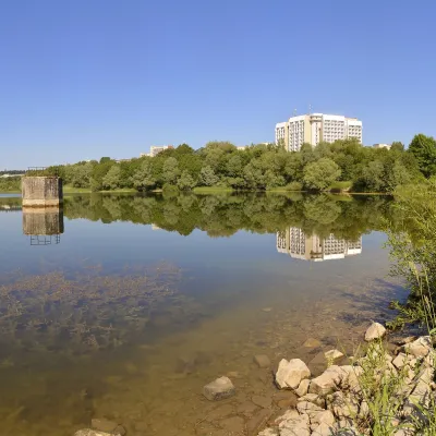 LakeTruskavets ReservoirTruskavetsTruskavets Reservoir, known locally as Lake Solonytsia, lies on the south-eastern edge of Truskavets, next to the...
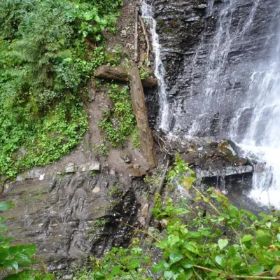 WaterfallZhenetsky Hook waterfallMykulychynZhenetskyi Huk is one of the most convenient Carpathian waterfalls for tourists, as it is accessible by a direct,...
Mountain ranges: Skole Beskids, Maramureș Mountains, Gorgany. In other countries: 🇸🇰 High Tatras, 🇭🇺 Mátra, 🇷🇴 Bihor-Vlădeasa Mountains, 🇷🇴 Bucegi Mountains, 🇸🇰 Lesser Fatra, 🇭🇺 Bükk, 🇸🇰 Slovak Central Mountains, 🇭🇺 Börzsöny and Cserhát, 🇷🇴 Piatra Craiului, 🇸🇰 Low Tatras, 🇵🇱 Gorce
Trails and peaks near which naturalists recorded the species (GBIF, iNaturalist), matched by altitude and habitat. Sightings are not guaranteed.
Sources
- Вікіпедія: Сонцевик кропив'яний
- Wikipedia (en): Small tortoiseshell
- iNaturalist: Aglais urticae (спостереження в Карпатах)
GBIF · iNaturalist · Wikidata · Distribution data: GBIF.org (CC0 and CC BY records), iNaturalist; names and identifiers: Wikidata (CC0). Text: Karpaty.rocks, checked 11.11.2026.
