Mount Trostian
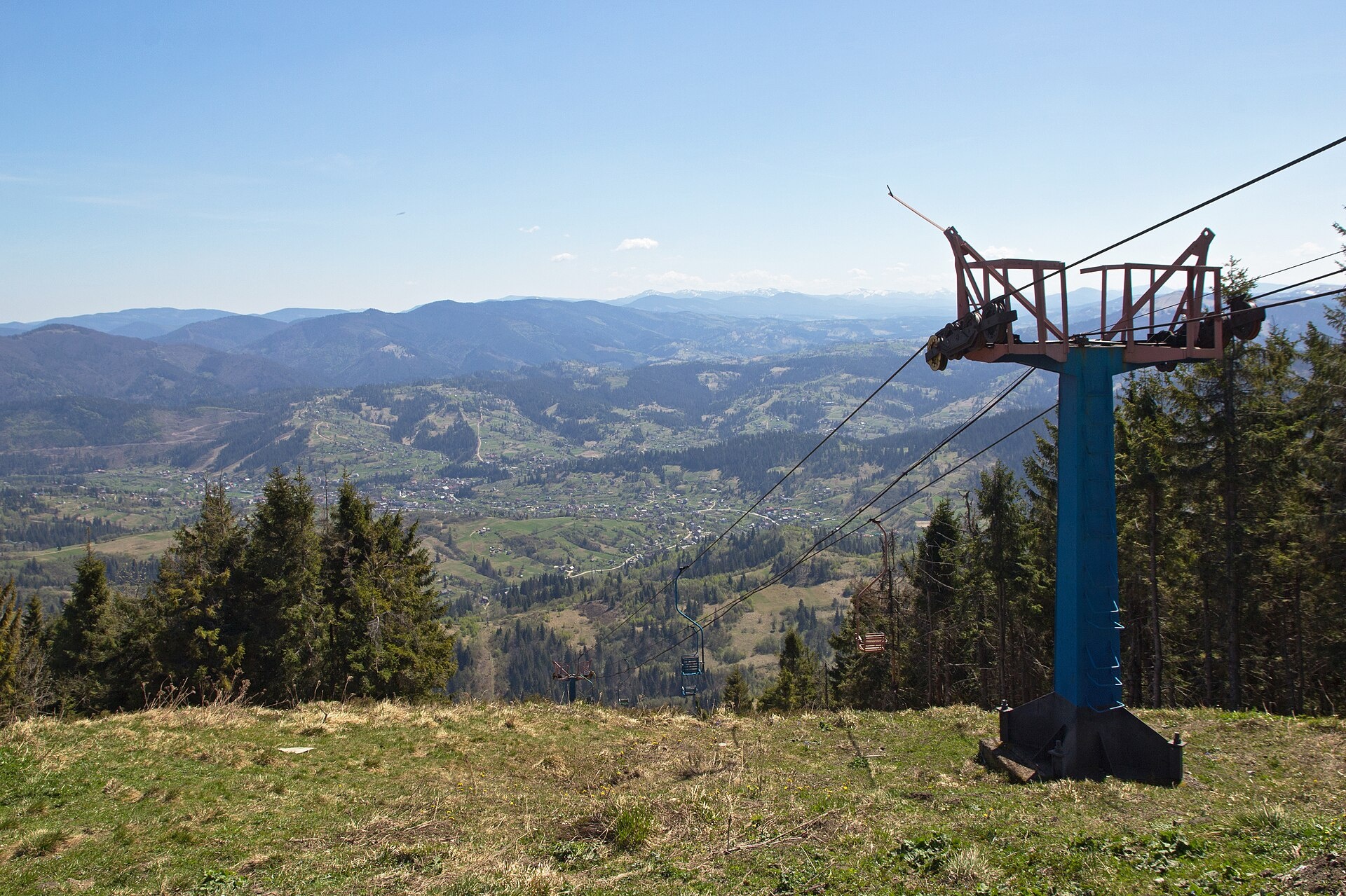
Trostian is a peak of the Skole Beskids in Lviv Oblast, west of the town of Slavske. It is 1232 m high. It is one of the best-known mountains of the Lviv region: a ski resort lies on its slopes, and the summit offers wide views over the Opir valley and the surrounding ridges.
Trostian rises on a separate massif bounded by the valleys of the Opir and Holovchanka rivers. It is built mostly of sandstone. The north-eastern slopes are steep (30–40°) and covered with spruce forest, the southern ones are gentle and sparsely wooded. The summit is flat and grassy, so there is plenty of room up there in summer and winter alike.
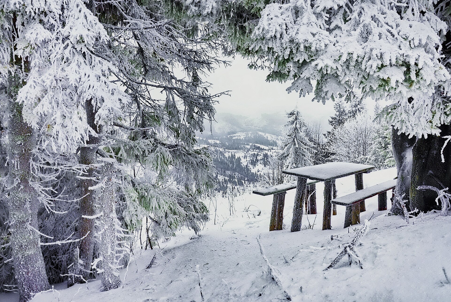
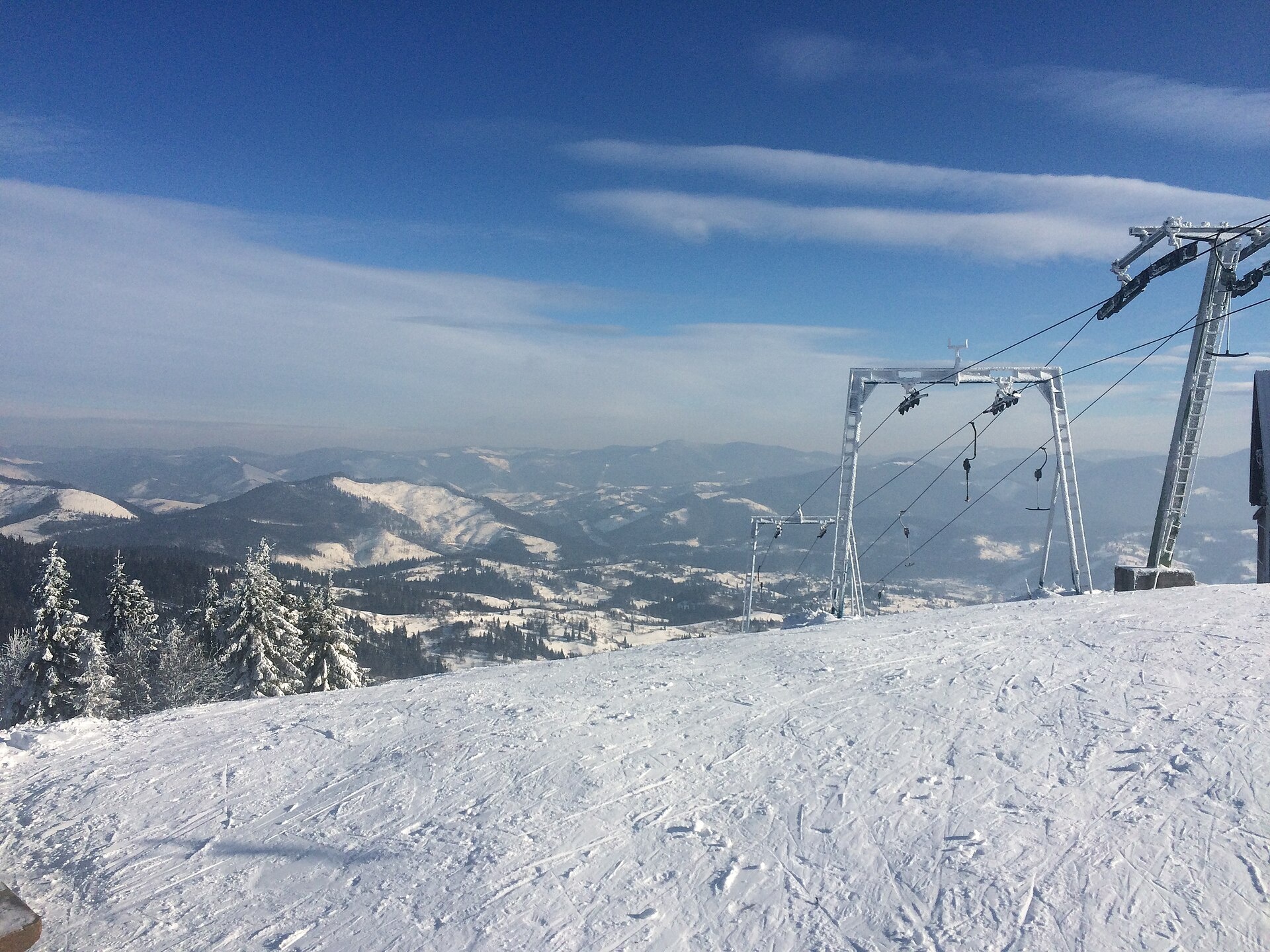
In winter Trostian is one of the ski centres of Slavske: the runs face east, north and west, and near the slopes you can grab a meal and warm up with a hot drink. In summer the summit attracts those who want an easy walk and views over the Skole Beskids.
How to get there
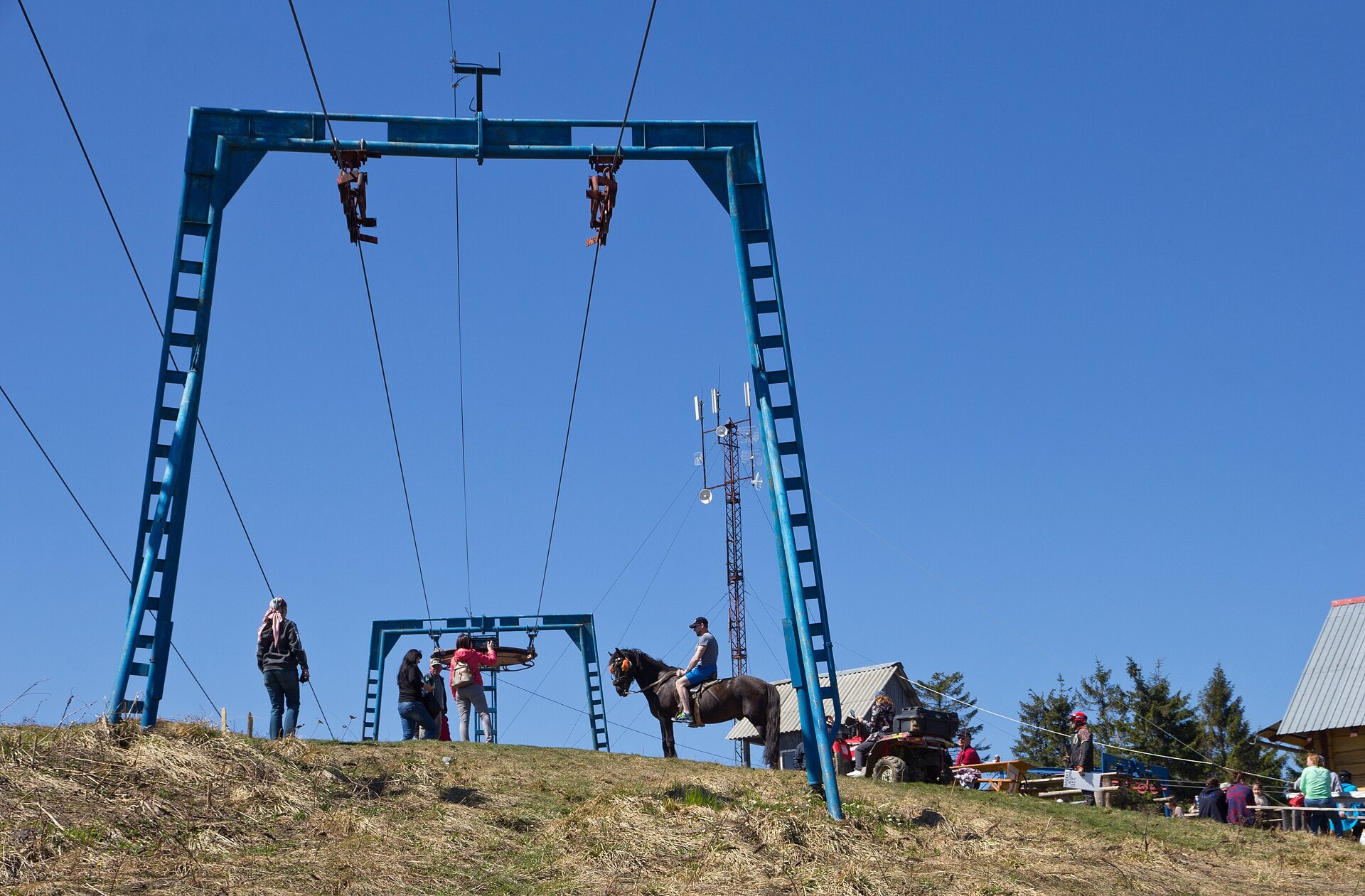
Slavske is easy to reach by train or car from Lviv. The simplest way up is the chairlift, about 2750 m long, running from the lower station to the very top (check the operating hours locally). Hikers climb Trostian along forest roads and ski runs; our site has no marked route to this summit yet, so plan a track in advance and download an offline map.
The ski runs vary in difficulty: the central, northern and western slopes have runs 1500 to 2000 m long served by drag lifts. You will find other places to stay and things to do around Slavske on our site.
Water, shelter and safety
Our map shows no springs near the summit, so carry water. In summer remember the heat on open slopes and thunderstorms; in winter — ice, fog and strong wind on the flat top. Do not walk up ski runs while skiing is in progress. In an emergency call 112 or 101; contacts of the nearest units are on the mountain rescue page.
Photos: Dmytro Petishkin, CC BY 4.0; Dmytro Petishkin, CC BY 4.0; Володимир Тертишник, CC BY-SA 4.0; Anna Chertkova, CC BY-SA 4.0 — Wikimedia Commons.
Location on the map
Comments
Places to stay nearby
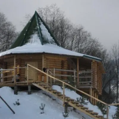 HotelCottage "4 Seasons" Slavsko (apitherapy, sauna, tub and pool)3.2 km from Mount TrostianHot tubPoolSaunaNearby: Mt Vysokyi Verkh 6.9 km1 trail
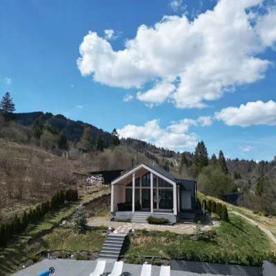 CottageRest Hub3.5 km from Mount TrostianRest Hub — premium relaxation in the Carpathians on Mount Trostyan (village of Slavske). Our complex offers the rental of two isolated cottages on a spacious area of 0...Nearby: Mt Vysokyi Verkh 7.0 km1 trail
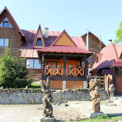 HotelHotel and Recreation Complex "BURGER-TROSTYAN" Mykulychyn3.6 km from Mount TrostianPoolParkingPetsNearby: Mt Vysokyi Verkh 6.7 km1 trail
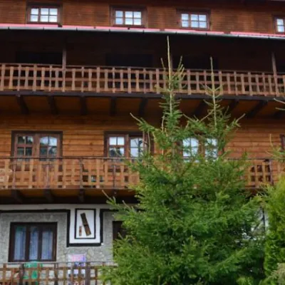 HotelHotel "Burger Trostyan" in Slavske3.7 km from Mount TrostianPoolSaunaTransferNearby: Mt Vysokyi Verkh 6.8 km1 trail
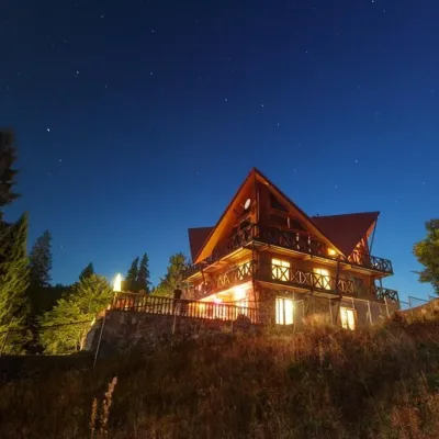 HotelHotel "Casa del Pozitiff"3.7 km from Mount TrostianPoolKitchenParkingNearby: Mt Vysokyi Verkh 9.9 km1 trail
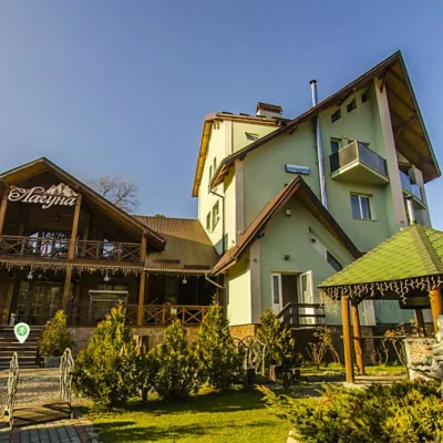 HotelHotel "Lahuna" Mykulychyn4.4 km from Mount TrostianPoolSaunaBBQNearby: Mt Vysokyi Verkh 7.3 km1 trail
Trails nearby
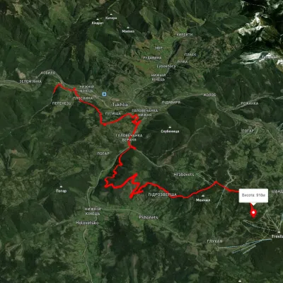 HardTwo-dayUnmarkedTukhlia village to Slavskevia Mount MakivkaElevation profile492–1 070 m23.2 kmascent 1 322 m≈ 8.5 h walking1.2 km from Mount Trostian
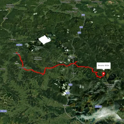 HardMulti-dayUnmarkedSlavske village to Lake Synevyrvia the Bukovets PassElevation profile583–1 328 m53.8 kmascent 2 170 m6.1 km from Mount Trostian
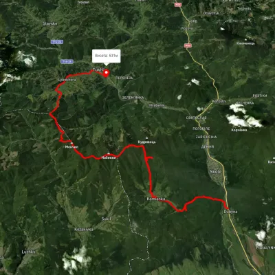 HardMulti-dayUnmarkedDubyna village to Tukhlia villagevia Kamianka Waterfall, Mount Lopata +1Elevation profile390–1 220 m38.8 kmascent 1 698 m≈ 13 h walking11 km from Mount Trostian
Nearby attractions
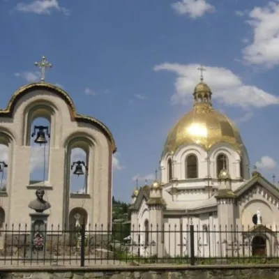 ChurchChurch of the Assumption of the Blessed Virgin Mary, Slavske4.2 km from Mount TrostianTheChurch of the Assumption of the Blessed Virgin Mary in the village of Slavske, Skole district, is an architectural monument of local significance dating back to...
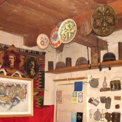 MuseumYuriy Mykolsky Museum of the Liberation Struggle, Slavske4.8 km from Mount TrostianAn interesting tourist attraction, which does not depend on the season, presence or absence of snow, is located in Slavske at 2 Sichovykh Striltsiv Street - the...
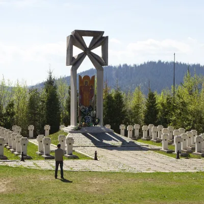 PeakMount Makivkaaltitude 958 m5.6 km from Mount TrostianMakivka is a mountain in the High Beskid about 8 km north of the town of Slavske in Lviv Oblast. Its height is usually given as 958 m; OpenStreetMap lists 933 m for...