Crested tit
About
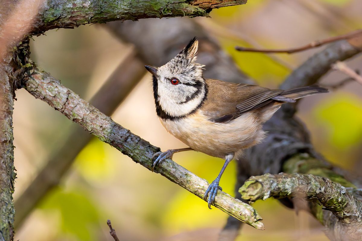
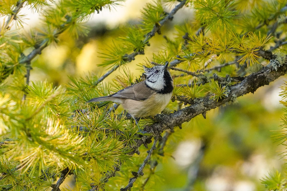
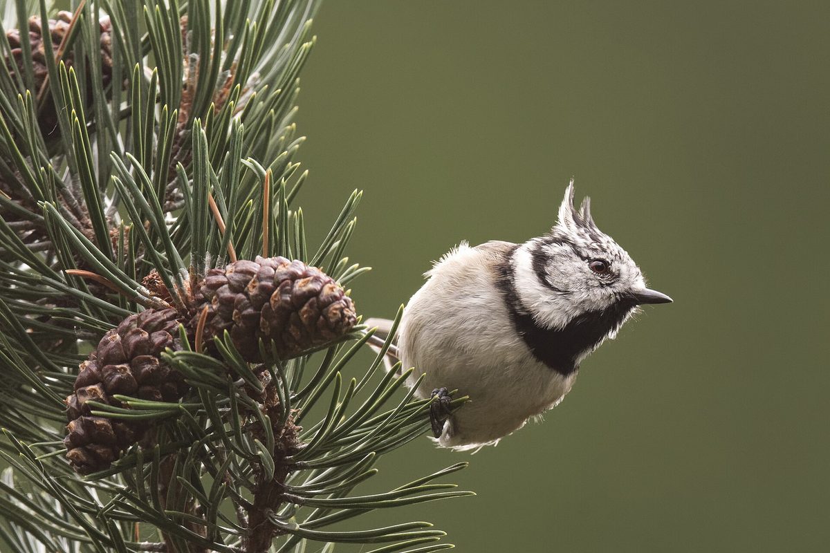
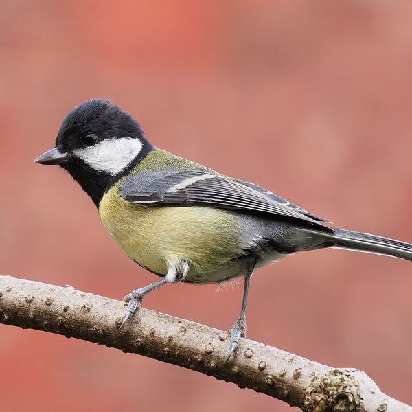
The Crested tit cannot be confused with any other bird in our forests: it has a sharp, curved crest of black feathers with white edges on its head. The bird itself is small, measuring 10.5–12 cm in length, with a grayish-brown upper side and a whitish underside. It has a black band on its white cheeks and a black spot on its throat.
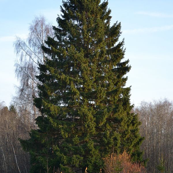
This bird inhabits coniferous forests. In the Carpathians, the Crested tit lives in spruce, fir, and pine forests, as well as in mixed stands with coniferous species up to the upper tree line. It mostly stays in the crowns and on the trunks, searching the bark and needles, so it is heard more often than seen: its call is a characteristic soft, trilling chirp.
The tit feeds on insects and spiders, and in autumn and winter, it consumes seeds of spruce and pine. It hides part of its food in the crevices of the bark and among lichens for later.
Unlike most tits, the Crested tit often excavates its own nest hole in a decayed stump or dead trunk. Therefore, it requires forests where dead trees and old stumps are left.
The bird is resident and maintains its territory throughout the year. In winter, pairs join mixed flocks of tits, goldcrests, and treecreepers, which wander through the forest together in search of food.
Where in the Carpathians

Orange — where naturalists recorded the species (GBIF, CC0/CC BY); a blank area does not mean it is absent.
- Countries
- Ukraine · Slovakia · Poland · Czechia · Romania · Hungary · Serbia
- Mountain ranges
- Skole Beskids, Gorgany. In other countries: 🇨🇿 Moravian-Silesian Beskids, 🇸🇰 High Tatras, 🇸🇰 Volovec Mountains, 🇸🇰 Western Tatras, 🇸🇰 Low Tatras, 🇵🇱 Żywiec Beskids, 🇵🇱 Silesian Beskids, 🇵🇱 Gorce, 🇸🇰 Slovak Ore Mountains, 🇵🇱 Babia Góra, 🇷🇴 Bihor-Vlădeasa Mountains, 🇸🇰 Slovak Paradise
- Altitude belts
- Foothills (below 600 m) · Beech forests (600–1200 m) · Conifer forests (1200–1600 m)
When to see it
| Jan | Feb | Mar | Apr | May | Jun | Jul | Aug | Sep | Oct | Nov | Dec | |
|---|---|---|---|---|---|---|---|---|---|---|---|---|
| Sightings |
From naturalists’ observations in the Carpathians (iNaturalist, research grade): the darker the cell, the more often the species is seen that month.
Protection and rules
Not listed in the Red Data Book of Ukraine.
FAQ
Where in the Carpathians does the Crested tit live?
In coniferous and mixed forests with spruce, fir, or pine — from the foothills to the upper tree line. It is almost absent in deciduous forests without coniferous species.
How to identify the Crested tit?
By its sharp black-and-white crest on its head. No other tit in our forests has such a feature.
Comments
Travellers’ experience: reports, tips, questions.
No one has written here yet. Be the first — your experience helps others.
Similar species
Where to meet it
Trails
 HardOne-dayTukhlia village to Slavskevia Mount MakivkaElevation profile521–1 090 m23.2 kmascent 1 065 m≈ 7.5 h walking
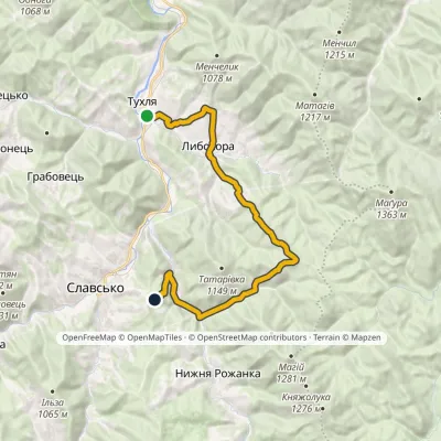 ModerateOne-dayMarkedNo. 5002 Tukhlia Slavskovia LybokhoraElevation profile542–951 m20.3 kmascent 815 m≈ 6.5 h walking
 Hard1–2 daysTukhlia village to Skolevia Mount Kindrat, Mount Matahiv +2Elevation profile445–1 265 m29.6 kmascent 1 569 m≈ 10 h walking
 HardTwo-daySlavske village to Lake Synevyrvia the Bukovets PassElevation profile587–1 306 m53.8 kmascent 1 585 m
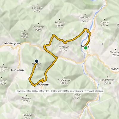 ModerateOne-dayMarkedNo. 5014 «To Zakhar Berkut»: Tukhlia Mount MakivkaElevation profile525–958 m14.4 kmascent 743 m≈ 5 h walking
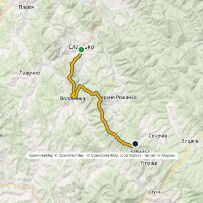 HardOne-dayMarkedNo. 5011 Slavsko «Where Three Regions Meet»Elevation profile592–1 287 m24.5 kmascent 1 326 m≈ 8.5 h walking
 Hard1–2 daysDubyna village to Tukhlia villagevia Kamianka Waterfall, Mount Lopata +1Elevation profile418–1 233 m38.8 kmascent 1 600 m≈ 12.5 h walking
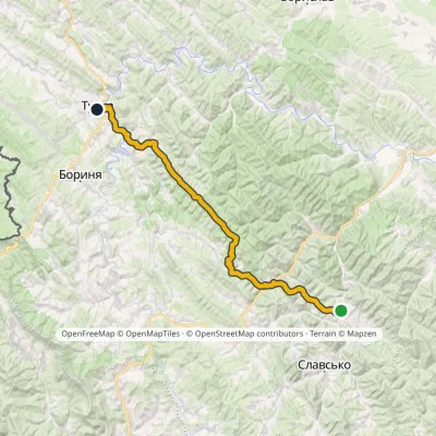 HardTwo-dayMarkedNo. 505 Tukhlia TurkaElevation profile530–1 177 m56.9 kmascent 1 764 m
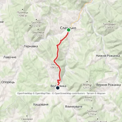 ModerateOne-dayMarkedNo. 5001 Slavske Volosianka villagevia Mount IlzaElevation profile599–1 065 m9.1 kmascent 492 m≈ 3 h walking
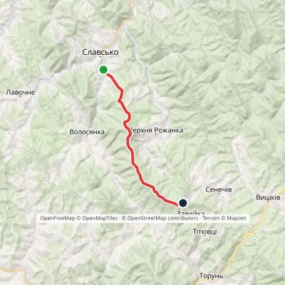 ModerateOne-dayMarkedSlavske Obnoha tractvia Mount Chorna RipaElevation profile603–1 287 m17.2 kmascent 883 m≈ 6 h walking
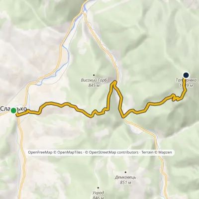 ModerateOne-dayMarkedNo. 5013 Slavsko Mount Tatarivka (Teterivka)Elevation profile587–1 149 m8.6 kmascent 775 m≈ 3.5 h walking
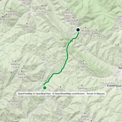 ModerateOne-dayMarkedRushchyna polonyna Ust-ChornaElevation profile748–1 456 m14.9 kmascent 756 m≈ 5 h walking
Peaks and meadows
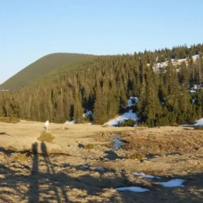 Mountain meadow1 409 mPolonyna RuschynaOsmolodaRuschyna meadow is famous for its panoramic views of the mountains that surround it from all sides and the diversity...
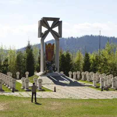 PeakMount MakivkaSlavskealtitude 958 m2 trails to the topMakivka is a mountain in the High Beskid about 8 km north of the town of Slavske in Lviv Oblast.
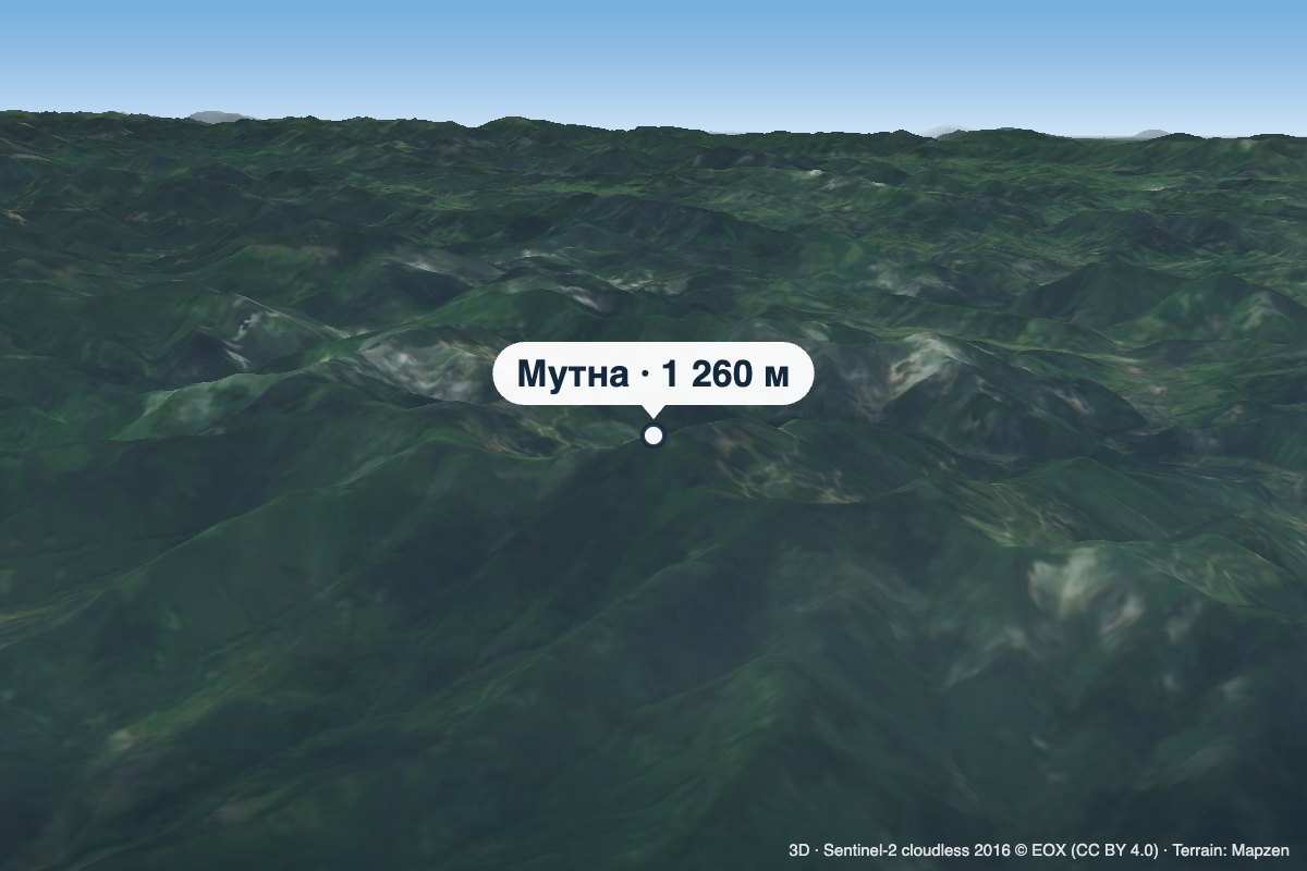 PeakMount MutnaKamiankaaltitude 1 260 m · Skole Beskids rangeMutna is a 1,260 m summit on the Zelemianka ridge in the Skole Beskids, Lviv Oblast.
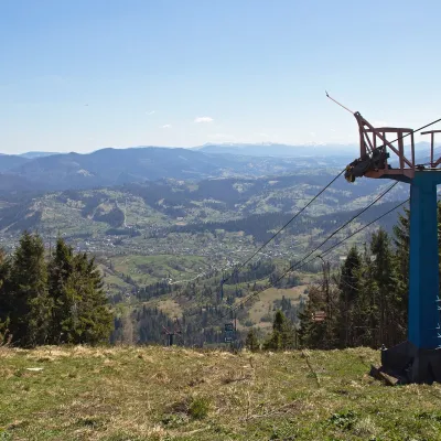 PeakMount TrostianSlavskealtitude 1 232 m · Skole Beskids rangeTrostian is a peak of the Skole Beskids in Lviv Oblast, west of the town of Slavske.
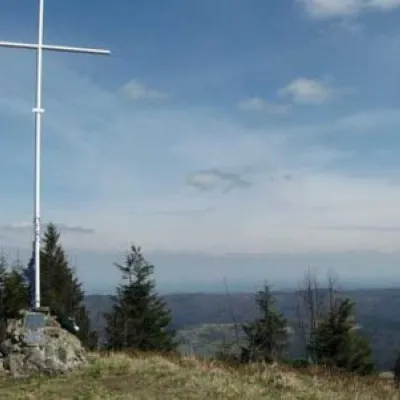 PeakMount LopataKorostivaltitude 1 211 m14 trails to the topThe mountain is located on the Zelemyanka ridge at a distance of 8 km south of the town of Skole.
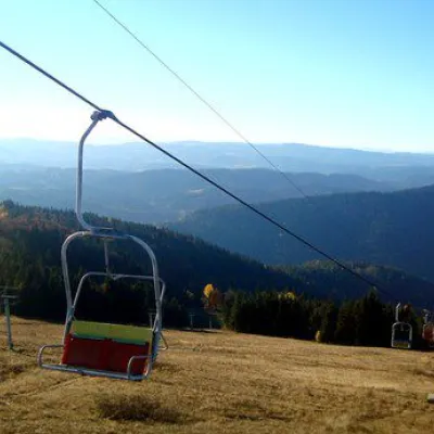 PeakMount Vysokyi Verkh, VolosyankaVolosiankaaltitude 1 242 m · Skole Beskids range2 trails to the topVysokyi Verkh is a mountain in the Ukrainian Carpathians, in the Skole Beskydy massif.
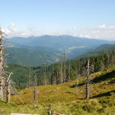 PeakMount TavpyshBystrytsiaaltitude 1 450 m · Gorgany rangeTavpysh is a 1,450 m summit of the Tavpyshyrka ridge in the central Gorgany, in the Nadvirna district of Ivano...
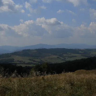 PeakMount YavirnykVerkhnyachkaaltitude 1 120 m · Borzhava range17 trails to the topYavirnyk Velykyi (1120) is a mountain located on the border of Lviv and Zakarpattia regions.
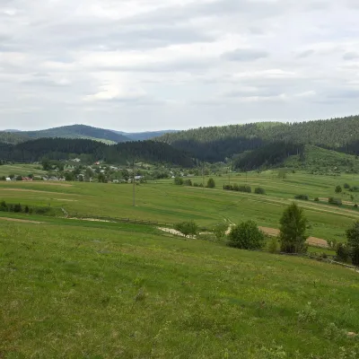 PeakMount RozluchRozluchaltitude 933 m1 trail to the topRozluch is a 933 m mountain in the Upper Dniester Beskids, the highest point of the Rozluch ridge.
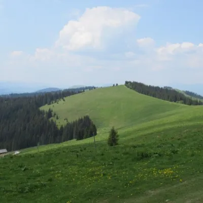 PeakMount DovhaPolianytsia (Bukovel)altitude 1 371 m · Gorgany range5 trails to the topDovha is a mountain in the Gorgany massif(Ukrainian Carpathians). It is located in the southern part of the Nadvirna...
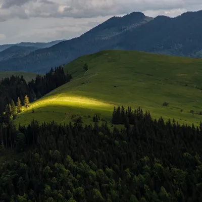 PeakMount Makovytsia (Kryvopillia)Kryvopilliaaltitude 1 161 mMakovytsia is a 1,161 m summit above the village of Kryvopillia (about 2.3 km) in the Verkhovyna district of Ivano...
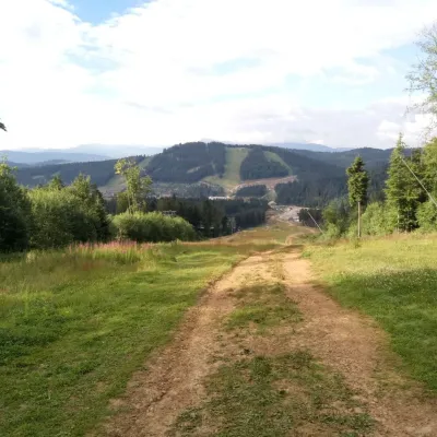 PeakMount Babyn PoharPolianytsia (Bukovel)altitude 1 449 m · Gorgany rangeBabyn Pohar is a 1,449 m mountain in the eastern Gorgany, in the Nadvirna district of Ivano-Frankivsk Oblast.
Waters and waterfalls
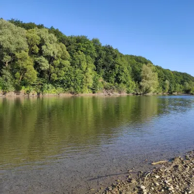 RiverBystrytsia Solotvynska RiverSolotvynThe Bystrytsia Solotvynska rises at about 1,390 m at the foot of Mala Syvulia and Bystryk, near the Peklo cliffs in...
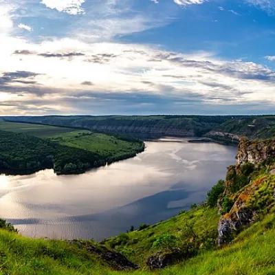 RiverDniesterVovcheThe Dniester is one of the most famous and largest rivers in Ukraine. The Dniester has been used as an important...
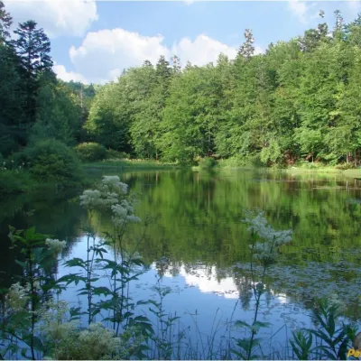 LakeMountain Polyanytske Lake (Dead Lake)BukovetsMountain Lake (another name - Dead Lake) is a picturesque mountain lake of natural origin in the Ukrainian...
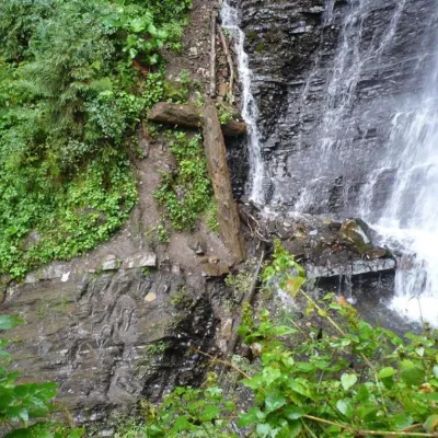 WaterfallZhenetsky Hook waterfallMykulychynZhenetskyi Huk is one of the most convenient Carpathian waterfalls for tourists, as it is accessible by a direct,...
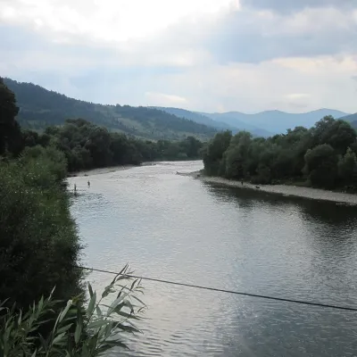 RiverStryi RiverTurkaThe Stryi is one of the largest Carpathian tributaries of the Dniester: 232 km from its source between Mount Yavirnyk...
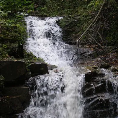 WaterfallChemernarsky Hook waterfallDolishnii ShepitChemernarsky Huk Waterfall is a small but very beautiful waterfall located in the village of Dolishniy Shepit,...
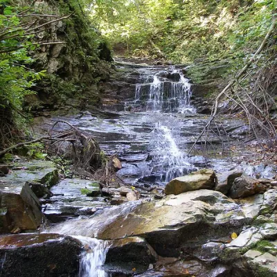 WaterfallChemernarsky waterfall Lower HookDolishnii ShepitThe Chemernarsky Lower Hook Waterfall (also known as Lower Shepit) is located in Dolishnyi Shepit, in the western...
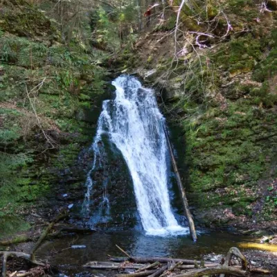 WaterfallSopit waterfallSopitSopit (Sopitsky ) is a waterfall in the Ukrainian Carpathians on the territory of the Skole Beskydy National Nature...
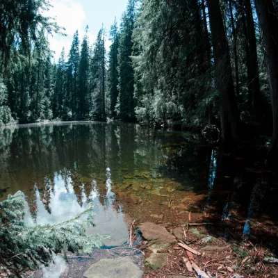 LakeLake Arshitsa, OsmolodaOsmolodaLake Arshytsia is the highest lake on the ridge (1300 m) and was recently discovered in April 2009 by a tourist from...
Mountain ranges: Skole Beskids, Gorgany. In other countries: 🇨🇿 Moravian-Silesian Beskids, 🇸🇰 High Tatras, 🇸🇰 Volovec Mountains, 🇸🇰 Western Tatras, 🇸🇰 Low Tatras, 🇵🇱 Żywiec Beskids, 🇵🇱 Silesian Beskids, 🇵🇱 Gorce, 🇸🇰 Slovak Ore Mountains, 🇵🇱 Babia Góra, 🇷🇴 Bihor-Vlădeasa Mountains, 🇸🇰 Slovak Paradise
Trails and peaks near which naturalists recorded the species (GBIF, iNaturalist), matched by altitude and habitat. Sightings are not guaranteed.
Sources
- Вікіпедія: Синиця чубата
- Wikipedia (en): Crested tit
- iNaturalist: Lophophanes cristatus (спостереження в Карпатах)
GBIF · iNaturalist · Wikidata · Distribution data: GBIF.org (CC0 and CC BY records), iNaturalist; names and identifiers: Wikidata (CC0). Text: Karpaty.rocks, checked 11.11.2026.
