Sopit waterfall


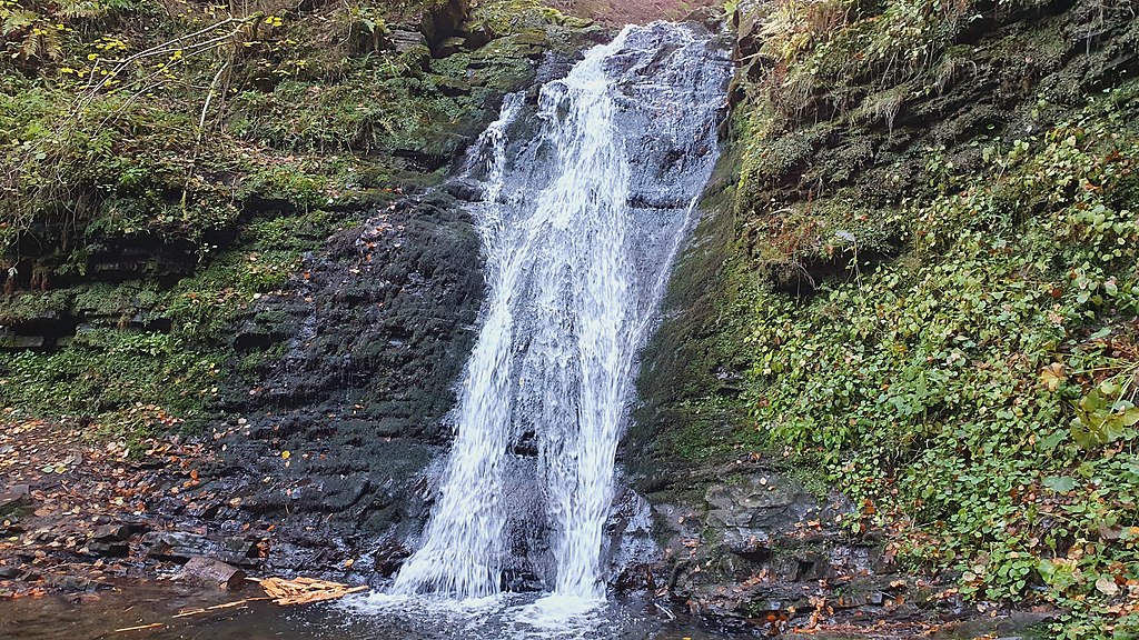
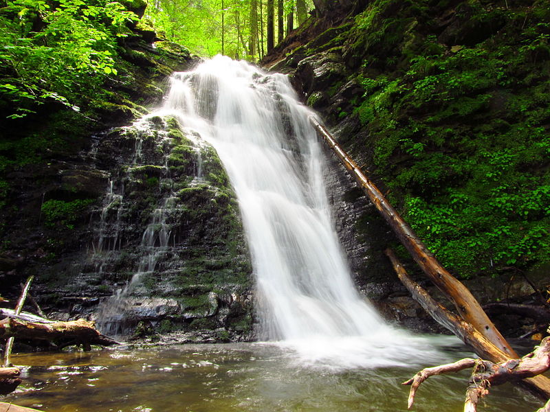
Sopit (Sopitsky ) is a waterfall in the Ukrainian Carpathians on the territory of the Skole Beskydy National Nature Park, on the southern outskirts of the village of Sopit, a suburb of Zruban, Skole district, Lviv region. The height of the waterfall is 8 meters.
TheSopit waterfall is not as popular as, for example, the nearby Gurkalo waterfall, which is located on an unnamed stream that flows into the Sopit River, or Sopotianka (a right tributary of the Stryi). The stream rapidly runs down the cliff of the flysch type, falling into a spacious bowl (maximum depth about 0.5 m), which is formed by the outcrop of rocks of the lower corneal horizon of the menilite formation of the Skiba zone of the folded Carpathians. At the foot of the cliff, the waterfall has formed a wide, shallow water basin filled with sandstone pebbles. The slopes around are overgrown with trees and bushes. The stream that forms the waterfall flows a little further into the Sopotianka (Sopot) River, a tributary of the Stryi River.
It is easy to find the waterfall - at the end of the village you need to find a road to the right that leads to the forest. After walking about 500 meters from the last house you will hear the roar of water. The path to the left of the road will lead down to the waterfall. Near the waterfall there is a parking lot for vehicles and gazebos for relaxation.
Despite the fact that the resort town of Skhidnytsia is only 15 kilometers away, and Tustan is even closer, this place is not crowded. Interesting places nearby: Laznyi Waterfall (7 km) and Tustan Rocks (9 km).
Three times a day, a minibus from Stryi runs to Sopit village. In addition, there is a minibus Skole-Urych, which can be taken to the turn in the village of Pidhorodtsi, in which case you will have to walk about 6 km to the waterfall.
In the village of Sopit, we cross the bridge and move along a small river. Almost at the exit from the village, there will be an inconspicuous sign to the right of the waterfall on a pillar. It is better to go on foot. It's not a long walk from the village outskirts to the waterfall. Entering the forest, you will soon see a gazebo on the left side of the road. After walking just a little bit, there will be a descent to the waterfall. It is not very noticeable, so look closely. Sopit waterfall is located in a kind of gorge with steep edges. The descent to it goes along a dirt path, which becomes almost impassable in rainy weather.
It is also quite difficult to get closer to the waterfall. There are many fallen trees around. But from the place where you go down, you can admire the waterfall perfectly!
At a glance
- Type: waterfall
- Elevation: ≈540 m above sea level (digital elevation model)
- Range: Skole Beskids
- Nearest settlement: Sopit
- Coordinates: 49.13322, 23.37833
- Routes nearby on Karpaty.rocks: 2
How to get there
The nearest settlement in our data is Sopit. Get directions in Google Maps.
Routes nearby
Karpaty.rocks routes that pass within 1 km of this place, most viewed first. Length and ascent come from our track and a digital elevation model, time from Naismith's rule (without stops).
- Sopit village, via the Sopit polonynas to Sopit village — 19.7 km, ascent 783 m, ≈6 h of walking, loop
All routes nearby in the catalogue
When to go
Like most Carpathian waterfalls, it carries the most water in spring when the snow melts and after heavy rain; in dry weeks at the end of summer the flow weakens. In winter the waterfall may partly freeze and the paths can be slippery.
Safety
Rocks near the water are slippery: keep away from the edge of the drop and do not climb wet rocks, especially with children.
In an emergency call 101 or 112. Carpathian mountain rescue contacts.
FAQ — Sopit waterfall
Sopit waterfall: where is it and how to get there?
The nearest settlement in our data is Sopit (Skole Beskids range). Coordinates: 49.13322, 23.37833. Get directions in Google Maps.
Sopit waterfall: at what elevation?
About 540 m above sea level, according to a digital elevation model.
Sopit waterfall: which routes pass nearby?
The most viewed on Karpaty.rocks: Sopit village, via the Sopit polonynas to Sopit village (19.7 km).
Sopit waterfall: when is the best time to go?
Like most Carpathian waterfalls, it carries the most water in spring when the snow melts and after heavy rain; in dry weeks at the end of summer the flow weakens. In winter the waterfall may partly freeze and the paths can be slippery.
Sopit waterfall: where to stay nearby?
Places to stay nearby (Sopit and around): hotels, guesthouses and cottages.
Video 4
 Водоспад Сопіт / The Sopit waterfallАдвокат Василь Васильович


Location on the map
Comments
Places to stay nearby
All stays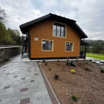 HotelBilya TustaniSkhidnytsia6.3 km from Sopit waterfallHot tubSaunaBBQNearby: Wooden church of St. Nicholas 500 mMuseum of Tustan History 500 m5 trailsfrom 2 400 UAH per night
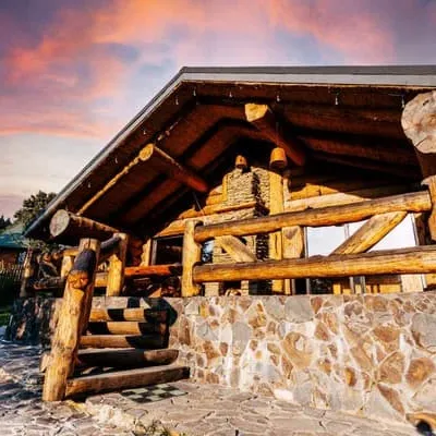 CottageRiverunSkhidnytsia6.4 km from Sopit waterfallSaunaBBQParkingNearby: Wooden church of St. Nicholas 600 mMuseum of Tustan History 600 m5 trailsfrom 4 000 UAH per night
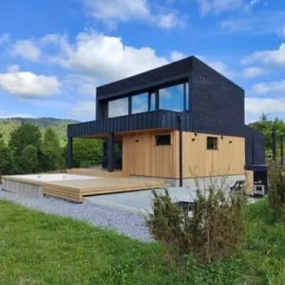 CottageZahoraSkhidnytsia8.5 km from Sopit waterfallHot tubPoolBBQNearby: Lazny waterfall 4.4 kmMuseum of Tustan History 6.6 km1 trailfrom 10 350 UAH per night
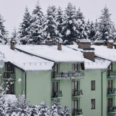 SanatoriumZelenyi BirSkhidnytsia9.4 km from Sopit waterfallPoolSaunaSPANearby: Museum of Tustan History 5.0 kmLazny waterfall 6.1 km3 trailsfrom 3 200 UAH per night
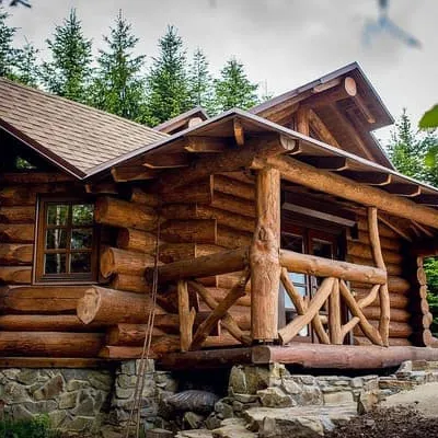 CottageForest House exclusiveSkhidnytsia9.5 km from Sopit waterfallBBQParkingWi‑FiNearby: Museum of Tustan History 4.8 kmLazny waterfall 6.3 km4 trailsfrom 5 160 UAH per night
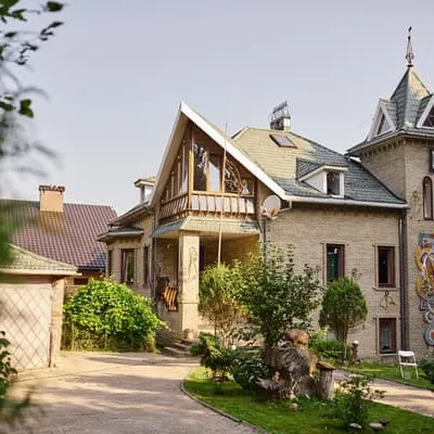 CottageKazka lisuSkhidnytsia9.5 km from Sopit waterfallHot tubSaunaSPANearby: Museum of Tustan History 4.8 kmLazny waterfall 6.3 km4 trailsfrom 800 UAH per night
Trails nearby
All trails ModerateTwo-daySopit village loopvia the Sopit polonynasElevation profile440–1 178 m19.7 kmascent 825 m≈ 6.5 h walkingunder 1 km from Sopit waterfall
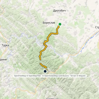 HardMulti-dayMarkedNo. 1 Truskavets SekulElevation profile349–1 213 m44.2 kmascent 2 747 munder 1 km from Sopit waterfall
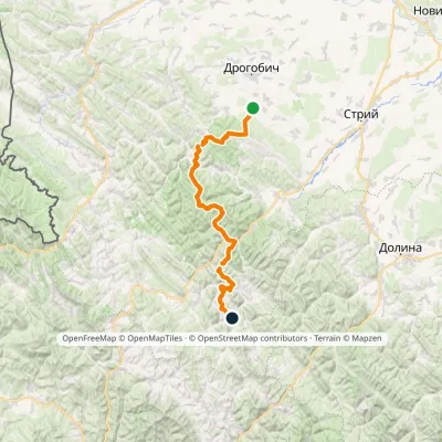 HardMulti-dayMarkedNo. 504 Truskavets SlavskoElevation profile349–1 168 m88.5 kmascent 4 090 m3.1 km from Sopit waterfall
Nearby attractions
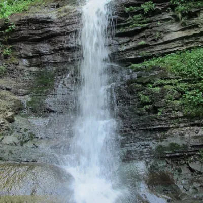 WaterfallLazny waterfallDrohobych district3.2 km from Sopit waterfallLaznyi is a waterfall in the Ukrainian Carpathians (in the Skole Beskydy massif), a hydrological natural monument of local importance.
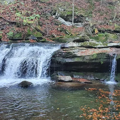 WaterfallKrushelnytskyi waterfallKrushelnytsia4.9 km from Sopit waterfallThe real decoration of the mighty Carpathian Mountains is its numerous picturesque waterfalls.
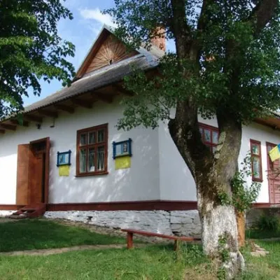 MuseumMuseum of Tustan History, UrychUrych5.9 km from Sopit waterfallThe TustanHistory Museum is part of the Tustan State Historical and Cultural Reserve. It was established in 1997 to preserve and exhibit archaeological finds...
Craft nearby
All craft places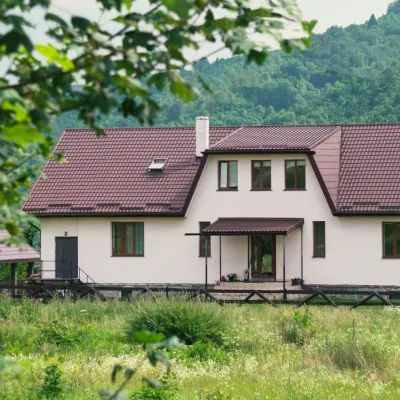 Ethno parks & homesteadsU Dvori Ethno Complex, PidhorodtsiPidhorodtsi4.3 km from Sopit waterfallU Dvori ethno complex is a family homestead in the village of Pidhorodtsi near Skole, set on a hill above the Stryi river valley a few kilometres from the Tustan rock...
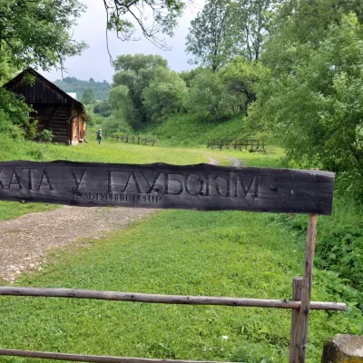 Crafts & workshopsKhata u Hlubokim Local History Centre, UrychUrych5.7 km from Sopit waterfallKhata u Hlubokim (“the House in Hlyboke”) is an old Boyko house in Urych that the Tustan State Historical and Cultural Reserve has turned into a local history centre.
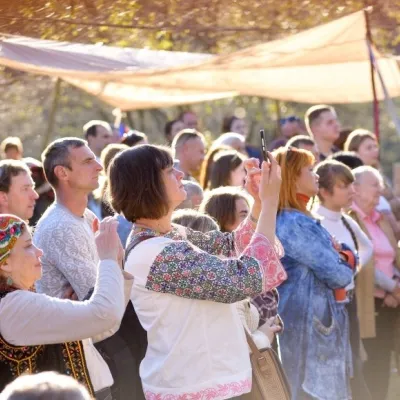 Ethno tours & guidesBoyYe Boyko Culture Festival, UrychUrych5.7 km from Sopit waterfallBoyYe is a festival of Boyko culture launched by the Tustan State Historical and Cultural Reserve in the village of Urych.
 Craft shopsDecorum Art Shop, SkhidnytsiaSkhidnytsia11 km from Sopit waterfallDecorum is a small art shop in the very heart of Skhidnytsia, on Zolota Bania Street close to the central pump rooms and the resort's promenade.
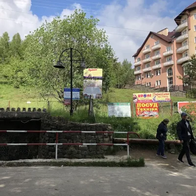 Theme parksMineral Spring No. 1-S (Naftusya), SkhidnytsiaSkhidnytsia12 km from Sopit waterfallSpring No. 1-S is one of the most popular mineral springs in Skhidnytsia, the mountain spa near Drohobych often called Truskavets’ younger sibling.
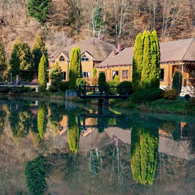 Koliby & Hutsul cuisineZolota Forel restaurant, KorostivKorostiv14 km from Sopit waterfallZolota Forel (“Golden Trout”) is a restaurant and hotel complex in the village of Korostiv near Skole, right beside the Kyiv–Chop highway.
