Mount Yavirnyk
Yavirnyk Velykyi (1120) is a mountain located on the border of Lviv and Zakarpattia regions. We don't know if there are any popular routes there yet. But the map clearly shows the trails, and the nearest settlements are Verkhnyachka (on the Zakarpattia side) and Oporets (on the Lviv side).
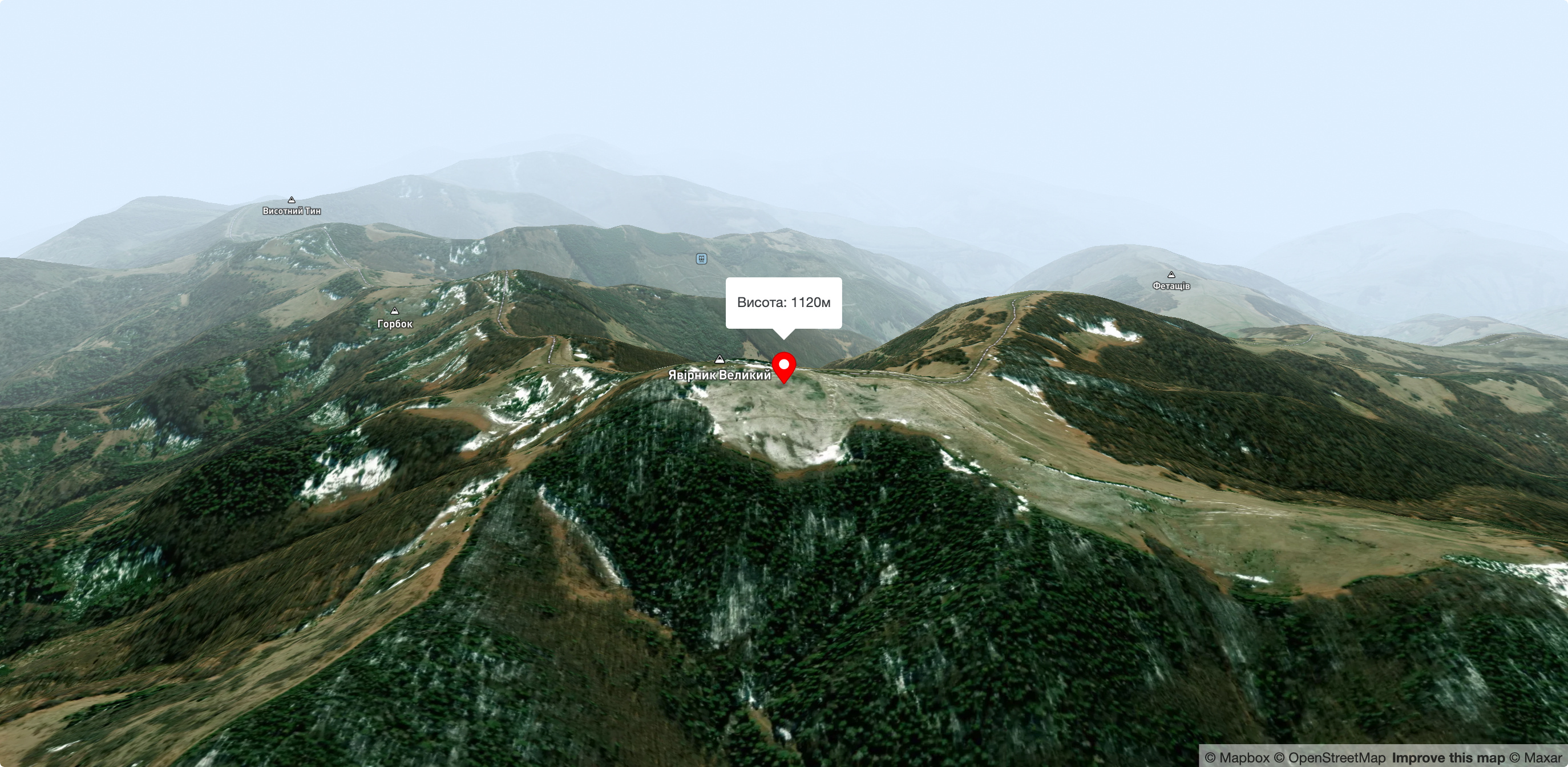
Mount Yavirnyk (1120 m). A peak on the main watershed ridge, stretching from east to west. The coordinates were taken at the highest point, which is located on the eastern part of the mountain. The peak has four spurs and is a crossroads. The spur to the N can lead down to the village of Lavochne, despite the sources of the Stryi and Opir rivers. The main watershed ridge, along which the gas pipeline route is laid, runs along the spurs from SE to SE. To the SE, the road slopes down the ridge to the Beskyd Pass. To the South, the road follows a ridge from which you can go down to Verkhnyachka village, Skotarske village or further to Volovets. A spur to the W goes to the village of Verkhnyachka.
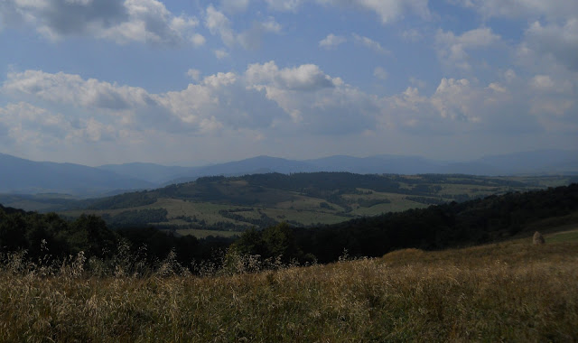
It is from Yavirnyk that you can see the entire Borzhava ridge as if in the palm of your hand!
Lavochne is a village of Skole district of Lviv region, which is located in the valley of the river Opir. To the south of the village is Mount Yavirnyk (1120.6 m) and to the southwest, a few kilometers away, is the beginning of the Opir River.
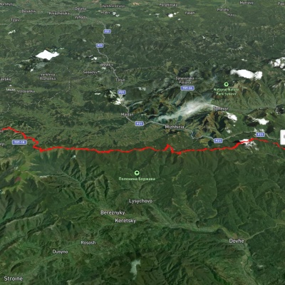
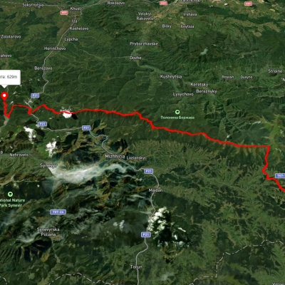
From Beskyd station to Lavochne station. Easy one-day route (16 km, 300 m up and 450 m down). Mount Yavirnyk (1120.6 m) is the top of the Watershed Beskydy, located on the border of Lviv and Zakarpattia regions. Due to its isolated position, the easily accessible Yavirnyk ridge is a perfect vantage point for the surrounding Borzhava, Vododilni and Skole Beskydy ranges.
The route starts at the Beskyd station (820 m above sea level). You can read about it in the Book of Records of Ukraine - the highest railway station in Ukraine is located here, as well as the longest railway tunnel (1747 m, built in 1887). From the station, we head up the path and soon find ourselves right on the ridge. From the Beskydy Pass, wide mountain panoramas open up in all directions. Not far away is the Beskyd ski resort, a tourist shelter and a mineral spring. We head to the right along the wide road along the Watershed Ridge. This is a section of the Transcarpathian tourist route.
Accommodation around Mount Yavirnyk:


Nearby hiking trails near Mount Yavirnyk:

Which trails pass by Mount Yavirnyk?
We suggest these hiking trails through or near Mount Yavirnyk: Skotarske village, via Borzhava polonyna and Palenyi Hrun polonyna to Nyzhnii Bystryi village, Skotarske village, via Borzhava polonyna and Palenyi Hrun polonyna to Vilshanske reservoir, Volovets, via Borzhava polonyna and Shypit Waterfall to Skotarske village, Tiushka village, via Mount Zhyd-Mahura, Mount Hemba and Mount Velykyi Verkh to Volovets, Transcarpathian Tourist Trail, Podobovets village, via Mount Velykyi Verkh and Mount Stiy to Vovchyi village