Mount Bobovyshche
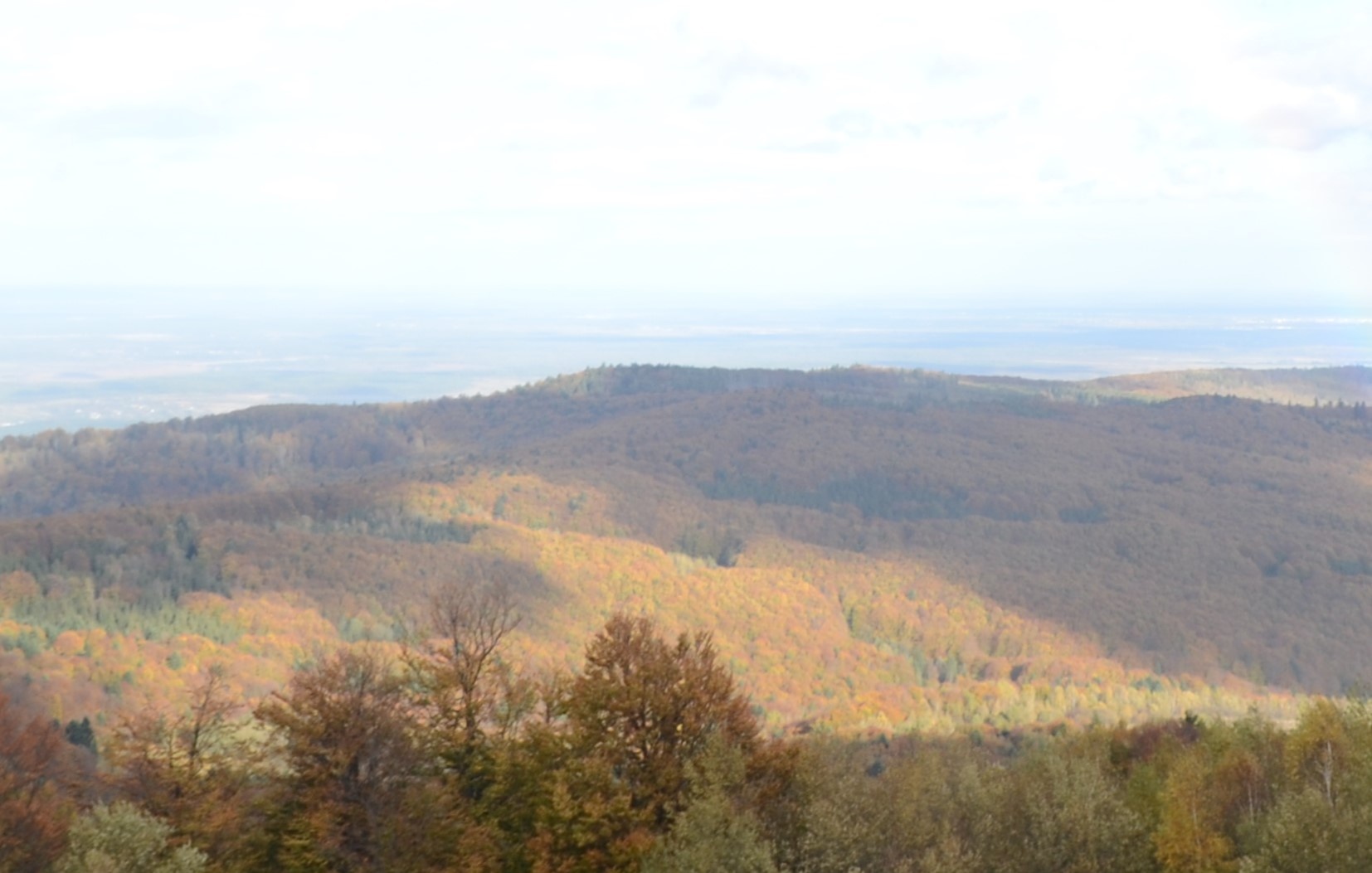
Bobovyshche (also called Popivska) is an 817 m mountain in the Upper Dniester Beskids, Lviv Oblast. It is the highest summit of the Oriv ridge and one of the highest in the Oriv thrust sheet. The mountain stands between the village of Oriv (about 3.4 km) and the spa town of Truskavets (about 5.9 km); a little farther are Yamelnytsia (about 6.6 km), Urych (about 7.1 km) and Boryslav (about 7.6 km).
The slopes of Bobovyshche are covered mostly with fir and beech forest. Tributaries of the Ropianyi and the Stynavka rise on its southern side, where a clearing holds houses — the outermost in Oriv and among the highest in the village. Nearby rise Vaha (778 m) about 1.6 km to the west, Skabryna (861 m) about 3.3 km to the south-west, and the higher Tsiukhiv Verkh (939 m) about 3.1 km to the west.
How to get there
Our site does not yet have a marked route crossing Bobovyshche or passing near it (within 3 km). The mountain is usually reached on forest roads and paths from Oriv or from the Truskavets side. One of the trekking routes of the “Velobeskydy” project, the “Path of Health”, crosses the summit, and the mountain is a junction of several paths leading to Tsiukhiv Verkh and the neighbouring ridges. Download a map to your phone before you go: the forest roads branch often.
Water, shelter and safety
Our map shows the nearest spring about 1.5 km south-east of the summit, at roughly 720 m (within Oriv); others lie about 2 km to the north-east, on the Truskavets side (about 520 m), and 2.6 km to the west (about 850 m). Their condition is unknown. There are no huts or shelters near the summit on our map, so carry your own water. The mountain is not high, but in dense forest it is easy to lose your bearings in fog or in the evening. The nearest summit with our forecast is Parashka, about 18 km away: weather on Parashka. In an emergency call 112 or 101 — contacts of the nearest units are on our mountain rescue page.
Interesting facts
- Bobovyshche is 817.1 m high; older maps gave 818 m.
- Hikers bound for Tsiukhiv Verkh often pass over the mountain, as several paths meet on it.
Photos: Almaz9991, CC BY-SA 4.0 — Wikimedia Commons.
Location on the map
Comments
Places to stay nearby
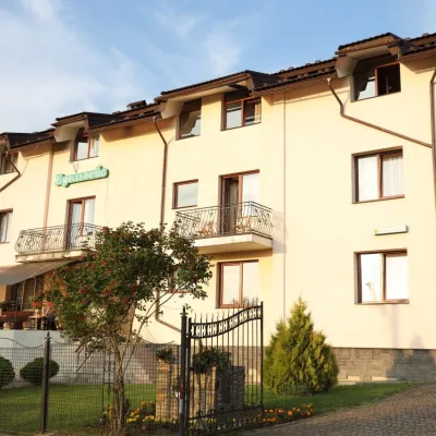 HotelHotel Edelweiss8.4 km from Mount BobovyshcheHotel "Edelweiss" is located in a picturesque corner of the balneological resort Skhidnytsia, 350 m from spring No. 18 and 2C.Nearby: Boryslav waterfall 6.6 kmMuseum of Tustan History 5.9 km
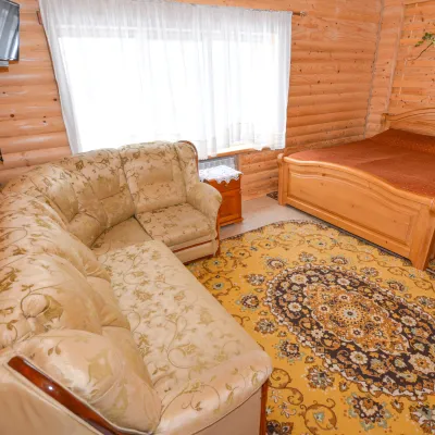 HomesteadGuest House "Kozatsky Dvoryk"8.5 km from Mount BobovyshcheBBQKitchenParkingNearby: Boryslav waterfall 6.2 kmMuseum of Tustan History 6.3 km
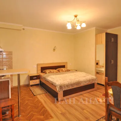 CottageApartments "Zolota Banya"8.9 km from Mount BobovyshcheKitchenWi‑FiNearby: Boryslav waterfall 6.7 kmMuseum of Tustan History 6.2 km
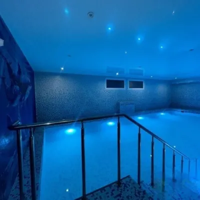 HotelHotel "Stolytsia"9.2 km from Mount BobovyshcheHotel "Stolytsia" in Skhidnytsia - swimming pool and SPA. Hotel "Stolytsia" is located in the central part of the Skhidnytsia resort.Nearby: Boryslav waterfall 6.5 kmLazny waterfall 8.0 km
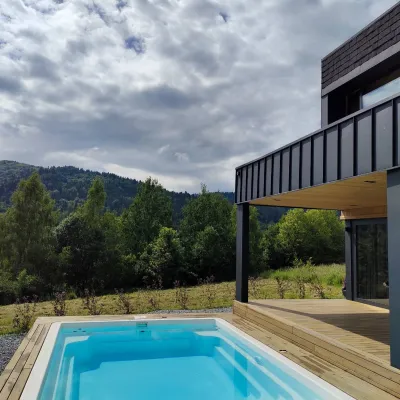 CottageCottage "Zahora"12 km from Mount BobovyshcheModern Cottage "ZAHORA" - a two-story cottage for 5 people. Equipped with everything necessary.Nearby: Lazny waterfall 4.4 kmMuseum of Tustan History 6.6 km
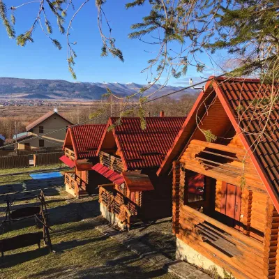 CottageEco-Cottages "Beskydy"15 km from Mount BobovyshchePoolKitchenPetsNearby: Church of St. George 2.0 kmKamianka waterfall 9.6 km
Trails nearby
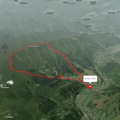 ModerateTwo-dayUnmarkedSopit village loopvia the Sopit polonynasElevation profile456–1 168 m19.7 kmascent 807 m≈ 6.5 h walking12 km from Mount Bobovyshche
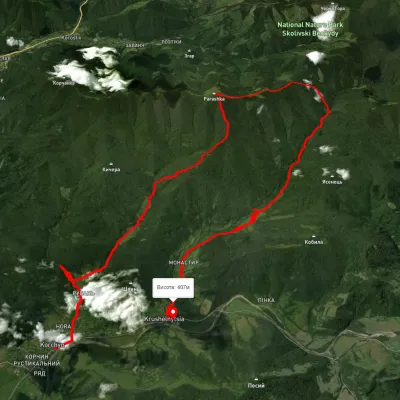 HardMulti-dayUnmarkedKorchyn village to Krushelnytsia villagevia Hurkalo Waterfall, Mount ParashkaElevation profile392–1 260 m39.2 kmascent 1 286 m≈ 12.5 h walking12 km from Mount Bobovyshche
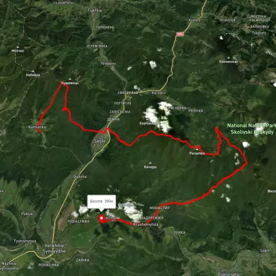 HardMulti-dayUnmarkedKamianka village to Krushelnytsia villagevia Mount Lopata, Skole +1Elevation profile388–1 236 m51.1 kmascent 2 122 m13 km from Mount Bobovyshche
Nearby attractions
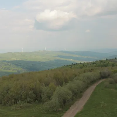 PeakMount Tsiukhivaltitude 939 m · Gorgany range3.1 km from Mount BobovyshcheTsiukhiv (also Tsiukhiv Dil or Tsiukhiv Verkh) is a 939 m mountain (939.4 m exactly; old maps give 942 m or 931 m) in the Upper Dniester Beskids, the highest summit of...
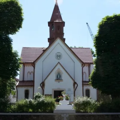 ArchitecturePolish Church, Truskavets6 km from Mount BobovyshcheSome speculate that it is a modification of the Polish word for strawberry. The unusual name is not the last influence of the Poles on the local area.
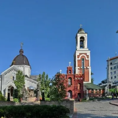 ChurchChurch of St. Nicholas, Truskavets6 km from Mount BobovyshcheBandera and Stebnytska streets stands the Greek Catholic Church of St. Nicholas, built of stone and brick.