Eastern slow worm
About
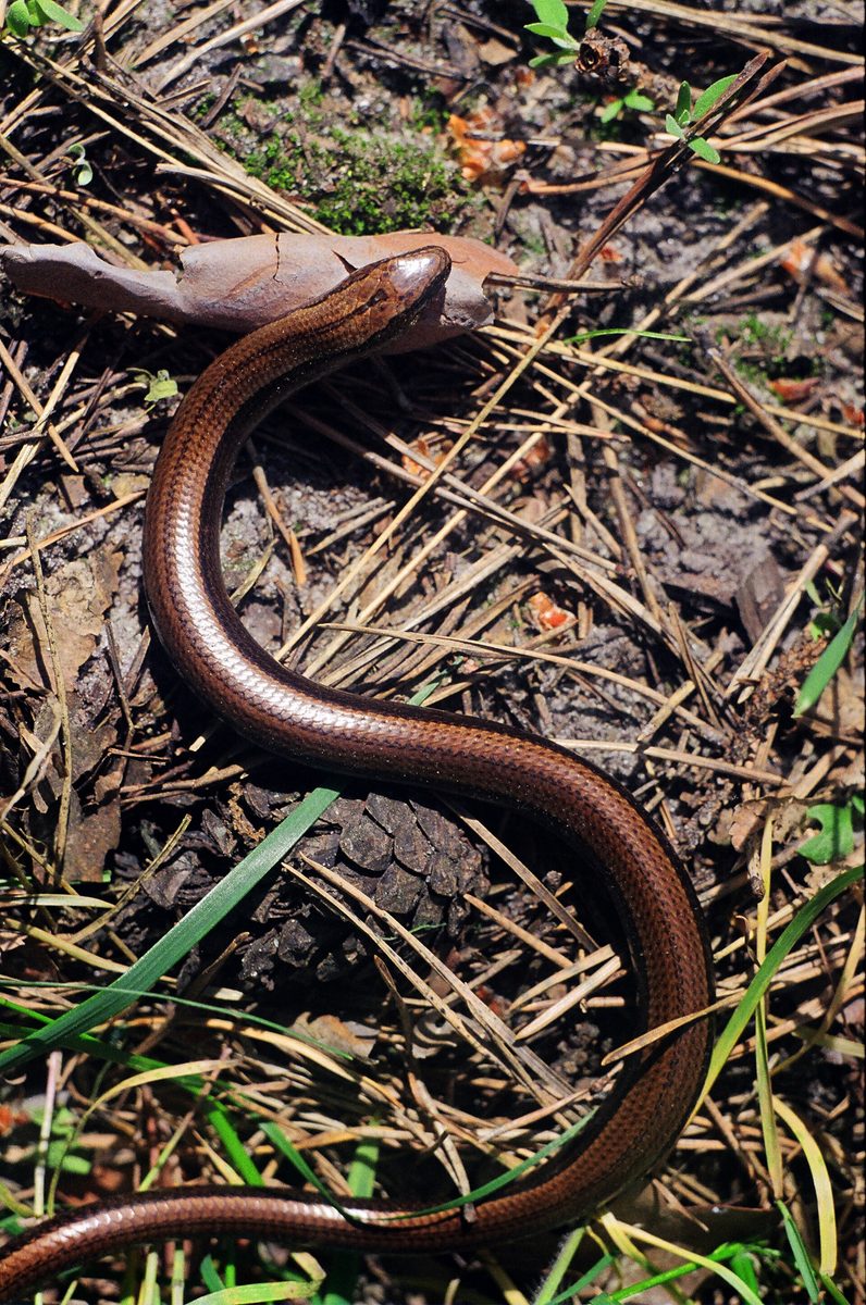
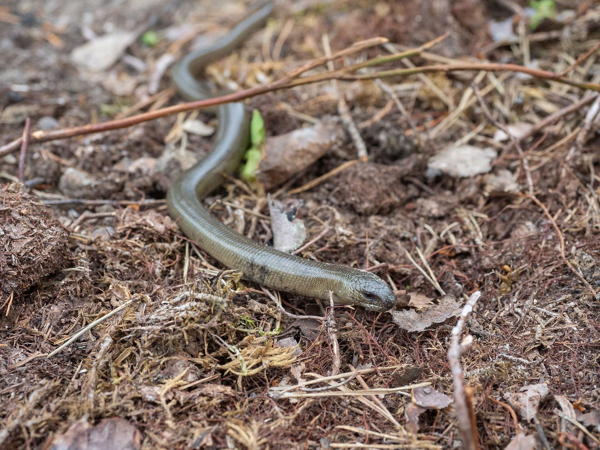
The Eastern slow worm is a legless lizard that is almost indistinguishable from the well-known fragile slow worm. For a long time, they were considered one species, with the Eastern slow worm being merely a subspecies. In 2010, a group of researchers led by Czech zoologist Václav Gvoždík compared the mitochondrial and nuclear DNA of slow worms from all over Europe and found that several distinct species were hidden under one name. Since then, the Eastern slow worm has been considered a separate species.
The range of the Eastern slow worm extends from the Czech Republic and the Baltic through Eastern Europe to the Caucasus and Iran. Ukraine lies within its range: the international reptile database Reptile Database includes our country in the range of this species, and in neighboring Romania, researchers report that only the Eastern slow worm lives there. Therefore, the slow worms we encounter in the Ukrainian Carpathians and much of Ukraine most likely belong to this species. At the same time, there is currently little detailed genetic research on the regions of Ukraine, and in Central Europe, particularly in Poland, the Czech Republic, Slovakia, and Hungary, both species form a contact zone and even hybrids.
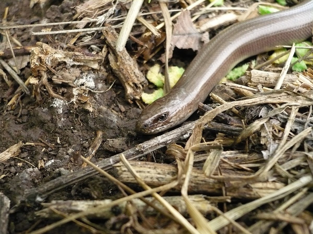
It is almost impossible to distinguish the two species by sight. The Eastern slow worm on average has a more massive head, more rows of scales around the body, and a more noticeable external ear opening, but none of these features alone provides a definitive answer. Therefore, on the website, we describe the lifestyle of both slow worms together: it is the same.
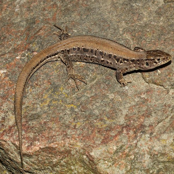
This is a smooth, shiny copper-brown or gray "snake" with eyelids that blink, unlike snakes. It lives in forest edges, clearings, gardens, and often basks right on tourist trails. It is most active at dusk and after rain, feeding on slugs, earthworms, and insect larvae. The mating season is from late April to early June, and from mid-October, slow worms hide for winter under logs, roots, in rock crevices, or burrows of rodents. It is completely non-venomous. The Eastern slow worm is not listed in the Red Book of Ukraine.
Where in the Carpathians

The map shows where naturalists recorded the species (GBIF, CC0 and CC BY records), not every place it lives. The Ukrainian Carpathians are less studied, so a blank area does not mean the species is absent.
- Countries
- Ukraine · Slovakia · Romania · Poland · Hungary · Czechia · Serbia
- Mountain ranges
- Gorgany, Pokuttia-Bukovina Carpathians, Skole Beskids, Watershed Ridge, Low Tatras, Maramureș Mountains, Bieszczady, Rivna Polonyna, Upper Dniester Beskids, Krasna Polonyna
- Altitude belts
- Foothills (below 600 m) · Beech forests (600–1200 m)
When to see it
| Jan | Feb | Mar | Apr | May | Jun | Jul | Aug | Sep | Oct | Nov | Dec | |
|---|---|---|---|---|---|---|---|---|---|---|---|---|
| Sightings |
From naturalists’ observations in the Carpathians (iNaturalist, research grade): the darker the cell, the more often the species is seen that month.
Look-alikes — how to tell them apart
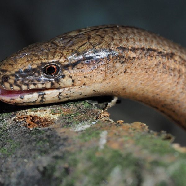
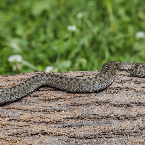
The adder has a zigzag on its back, a vertical pupil, and does not blink. The slow worm is smooth and shiny, without a zigzag, with eyelids that blink.
It is impossible to reliably distinguish: the Eastern slow worm on average has a more massive head and more rows of scales around the body. Both species are safe.
Protection and rules
The Eastern slow worm is not listed in the Red Book of Ukraine. Slow worms are safe—do not kill them.
FAQ
Which slow worm lives in Ukraine—the fragile or the Eastern?
Ukraine lies within the range of the Eastern slow worm, so our slow worms most likely belong to it. However, there is still little detailed genetic research on the regions.
How to distinguish the Eastern slow worm from the fragile slow worm?
It is almost impossible by sight. The Eastern slow worm on average has a more massive head and more rows of scales, but no feature is one hundred percent definitive.
Similar species
Where to meet it
Trails
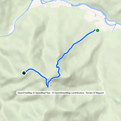 EasyOne-dayMarkedRoute to Mount ShchavnaElevation profile575–1 176 m5 kmascent 601 m≈ 2.5 h walking
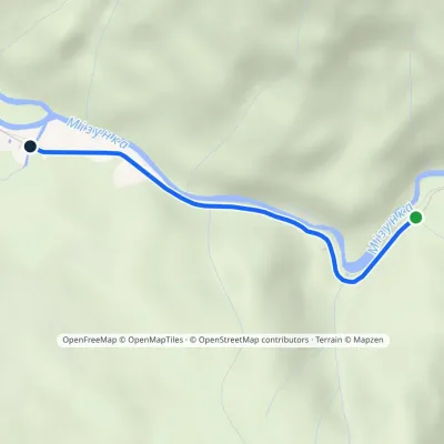 EasyOne-dayMarkedMizunskyi Waterfall Dubovyi KutElevation profile527–556 m2.8 kmascent 25 m≈ 45 min walking
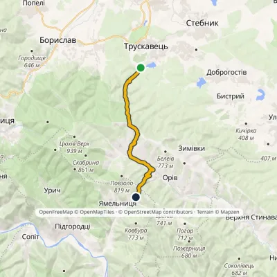 ModerateOne-dayMarkedTruskavets Gotar campsite (Yamelnytsia)Elevation profile377–776 m14.5 kmascent 675 m≈ 5 h walking
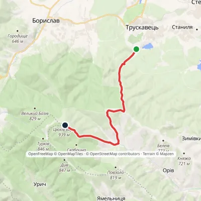 ModerateOne-dayMarkedHealth Path: Truskavets Tsiukhiv Dil (VeloBeskydy)Elevation profile377–938 m13.1 kmascent 770 m≈ 5 h walking
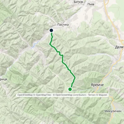 ModerateTwo-dayMarkedPasichna village Pereslop PassElevation profile548–1 324 m17.3 kmascent 1 085 m≈ 6.5 h walking
 HardMulti-dayMarkedPasichna village to Yaremchevia Mount SyniachkaElevation profile516–1 400 m26.7 kmascent 1 156 m≈ 9 h walking
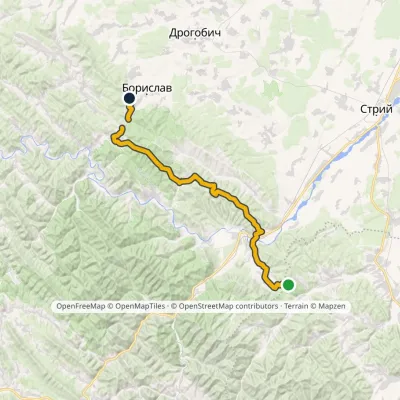 HardMulti-dayMarkedNo. 11 Boryslav Dovbush RocksElevation profile365–852 m48.2 kmascent 1 462 m
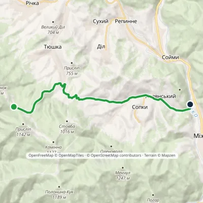 EasyOne-dayMarkedPryslip Pass Mount KlevaElevation profile443–941 m12.3 kmascent 66 m≈ 3 h walking
 HardMulti-dayMarkedDora village to Yaremchevia Mount Syniachka, Chornohorytsia polonynaElevation profile487–1 400 m26.1 kmascent 972 m≈ 8.5 h walking
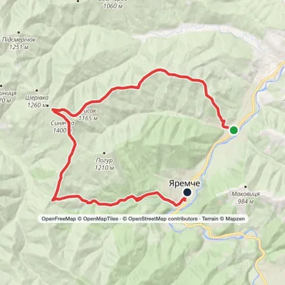 HardMulti-dayMarkedDora village to Yaremchevia Mount Syniachka, Pereslip PassElevation profile481–1 400 m24.6 kmascent 1 046 m≈ 8 h walking
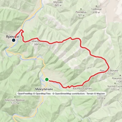 HardMulti-dayMarkedMykulychyn village to Yaremchevia Mount Kostel, Mount Rokyta +1Elevation profile476–1 110 m27.1 kmascent 908 m≈ 8.5 h walking
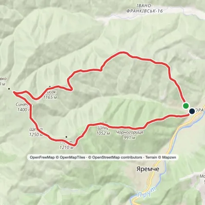 HardTwo-dayMarkedDora village loopvia Mount Bilyi Kamin, Mount SyniachkaElevation profile488–1 400 m23 kmascent 961 m≈ 7.5 h walking
Peaks and meadows
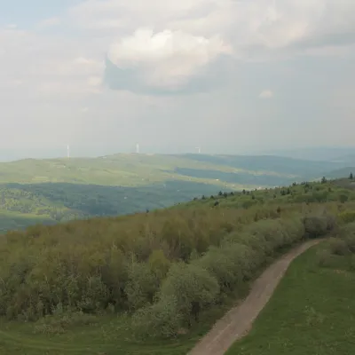 PeakMount TsiukhivOrivaltitude 939 m · Gorgany range6 trails to the topTsiukhiv (also Tsiukhiv Dil or Tsiukhiv Verkh) is a 939 m mountain (939.4 m exactly; old maps give 942 m or 931 m) in...
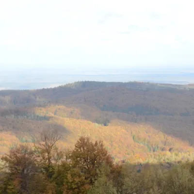 PeakMount BobovyshcheOrivaltitude 817 m4 trails to the topBobovyshche (also called Popivska) is an 817 m mountain in the Upper Dniester Beskids, Lviv Oblast.
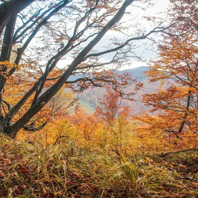 PeakMount Dil (Krushelnytsia)Krushelnytsiaaltitude 899 m · Skole Beskids rangeIt lies north-east of the Parashka ridge, about 2.6 km from Parashka itself (1,268 m), and rises above the village of...
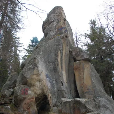 PeakWhite Stone RockDoraaltitude 538 m7 trails to the topThe White Stone Rock is located in the village of Dora in the Carpathians and is one of the most prominent natural...
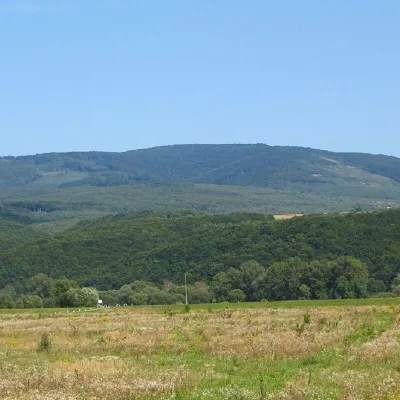 PeakMount Antalovetska PolyanaKamianytsiaaltitude 968 m8 trails to the topMount Antalovetska Polyana is a 968-meter high peak of the Ukrainian Carpathians, located in the western part of the...
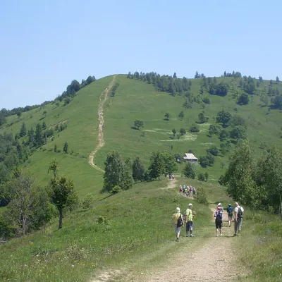 Mountain meadow984 mMount Makovytsia, YaremcheYaremcheMakovytsia (984 m) is a mountain of the Gorgany range on the eastern edge of Yaremche, in the Carpathian National...
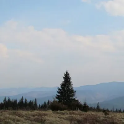 Mountain meadow1 200 mPolonyna ShchivkaYaremcheThe Shchivka meadow has a very good location. Its length is about 700 meters, it has a slight slope, which protects...
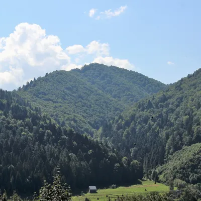 PeakMount of the Heroes of the Heavenly HundredRybnykaltitude 886 m · Skole Beskids rangeThe Mount of the Heroes of the Heavenly Hundred (locally Konova or Horb) is an 886 m summit (890 m according to other...
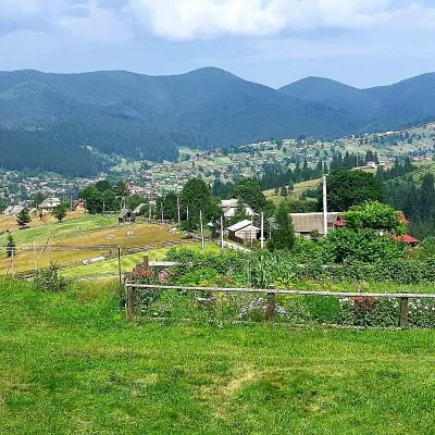 PeakMount OseredokVorokhtaaltitude 915 m · Chornohora range1 trail to the topOseredok is a modest 915 m summit right above Vorokhta (about 2 km), north of the Chornohora range, in Ivano...
Waters and waterfalls
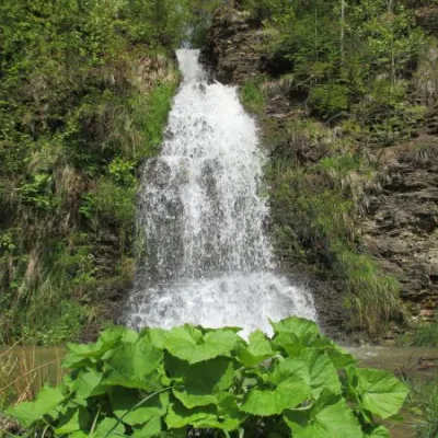 WaterfallIlemnyansky waterfallIlemnyaTheIlemnya Waterfall is a waterfall in the Ukrainian Carpathians, in the northwestern part of the Gorgany mountain...
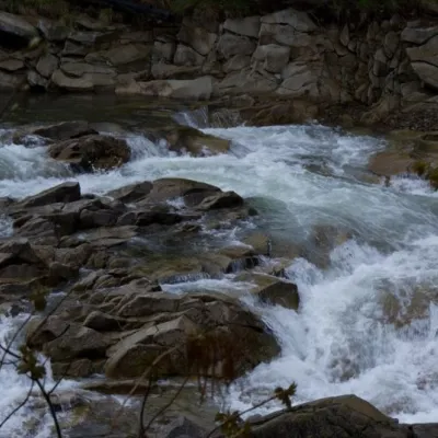 WaterfallMizun waterfallsNovyi MizunMizunski waterfalls are a great place for lovers of mountain recreation.
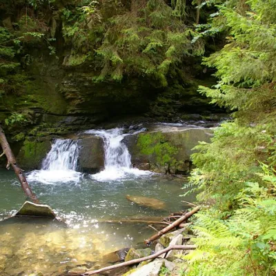 WaterfallWaterfall Maiden's Tears, YaremcheYaremcheMaiden's Tears is a waterfall in the Ukrainian Carpathians (Gorgany massif).
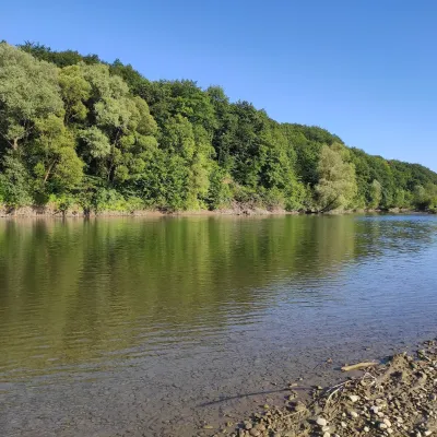 RiverBystrytsia Solotvynska RiverSolotvynThe Bystrytsia Solotvynska rises at about 1,390 m at the foot of Mala Syvulia and Bystryk, near the Peklo cliffs in...
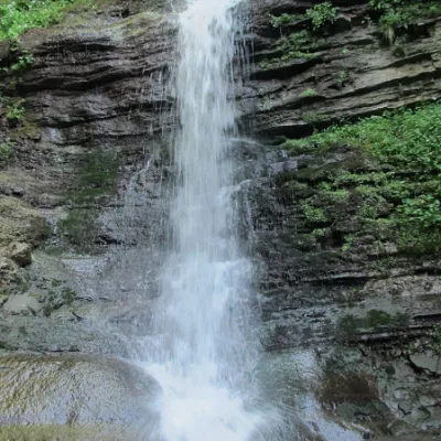 WaterfallLazny waterfallDrohobych districtLaznyi is a waterfall in the Ukrainian Carpathians (in the Skole Beskydy massif), a hydrological natural monument of...
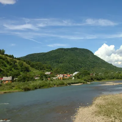 RiverRika RiverMizhhiriaThe Rika rises near the village of Torun on the south-western slopes of the Verkhovyna Range, where the Pryslip and...
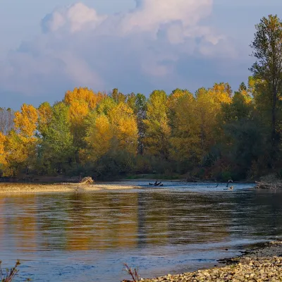 RiverTysa River (Tisza)RakhivThe Tysa (Tisza) is the main river of Zakarpattia. It begins on the north-eastern edge of Rakhiv, where the Chorna...
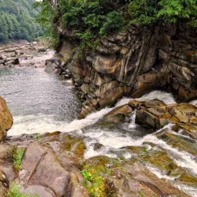 WaterfallProbiy waterfall, YaremcheYaremcheProbiy Waterfall is located in the heart of the Carpathian Mountains, in the city of Yaremche.
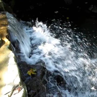 WaterfallBagrovetsky waterfallYaremcheBagrovetsky Waterfall is one of the most famous waterfalls in the Yaremche region, located in the city of Yaremche.
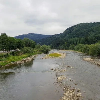 RiverOpir RiverSkoleThe Opir is a 58-km mountain river of the Skole Beskids. It rises on the eastern slope of Mount Velykyi Yavirnyk,...
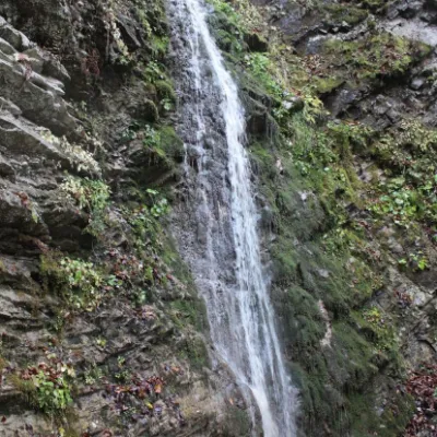 WaterfallSych waterfall (Bukovinian waterfalls)RoztokyThe Sych Waterfall is one of the waterfalls that are part of the Bukovyna Waterfalls, located in the Roztotskyi...
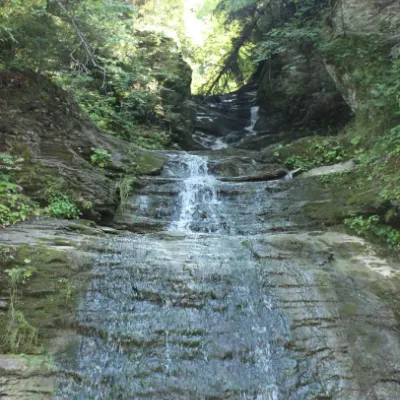 WaterfallSrednyi Huk waterfall (Bukovyna waterfalls)RoztokyThe Srednyi Huk waterfall is one of the Bukovyna waterfalls located in the Chernivtsi region in western Ukraine.
Mountain ranges: Gorgany, Pokuttia-Bukovina Carpathians, Skole Beskids, Watershed Ridge, Maramureș Mountains, Bieszczady, Rivna Polonyna, Upper Dniester Beskids, Krasna Polonyna. In other countries: 🇸🇰 Low Tatras, 🇸🇰 Greater Fatra, 🇸🇰 Kysuce Beskids, 🇷🇴 Almăj and Locva Mountains, 🇭🇺 Bükk
Trails and peaks near which naturalists recorded the species (GBIF, iNaturalist), matched by altitude and habitat. Sightings are not guaranteed.
Sources
- Wikipedia (en): Anguis colchica
- Wikipedia (pl): Padalec kolchidzki
- The Reptile Database: Anguis colchica (поширення: зокрема Україна; таксономія за Gvoždík et al. 2010, 2013)
- Benkovský N. et al. Phenotypic differentiation of the slow worm lizards (Anguis) across their contact zone in Central Europe. PeerJ, 2021
- Skórzewski et al. Contact zone of slow worms Anguis fragilis and Anguis colchica in Poland. PeerJ, 2025
- Вікіпедія: Веретільниця ламка
- Перелік видів тварин, що заносяться до Червоної книги України (наказ Міндовкілля від 19.01.2021 № 29, зареєстровано в Мін'юсті 01.03.2021 за № 260/35882)
- Міндовкілля: текст переліку видів тварин Червоної книги України (PDF)
- GBIF: таксон і категорія МСОП
GBIF · iNaturalist · Wikidata · Distribution data: GBIF.org (CC0 and CC BY records), iNaturalist; names and identifiers: Wikidata (CC0). Text: Karpaty.rocks, checked 09.11.2026.
