Mount Antalovetska Polyana
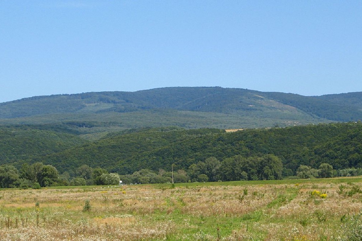
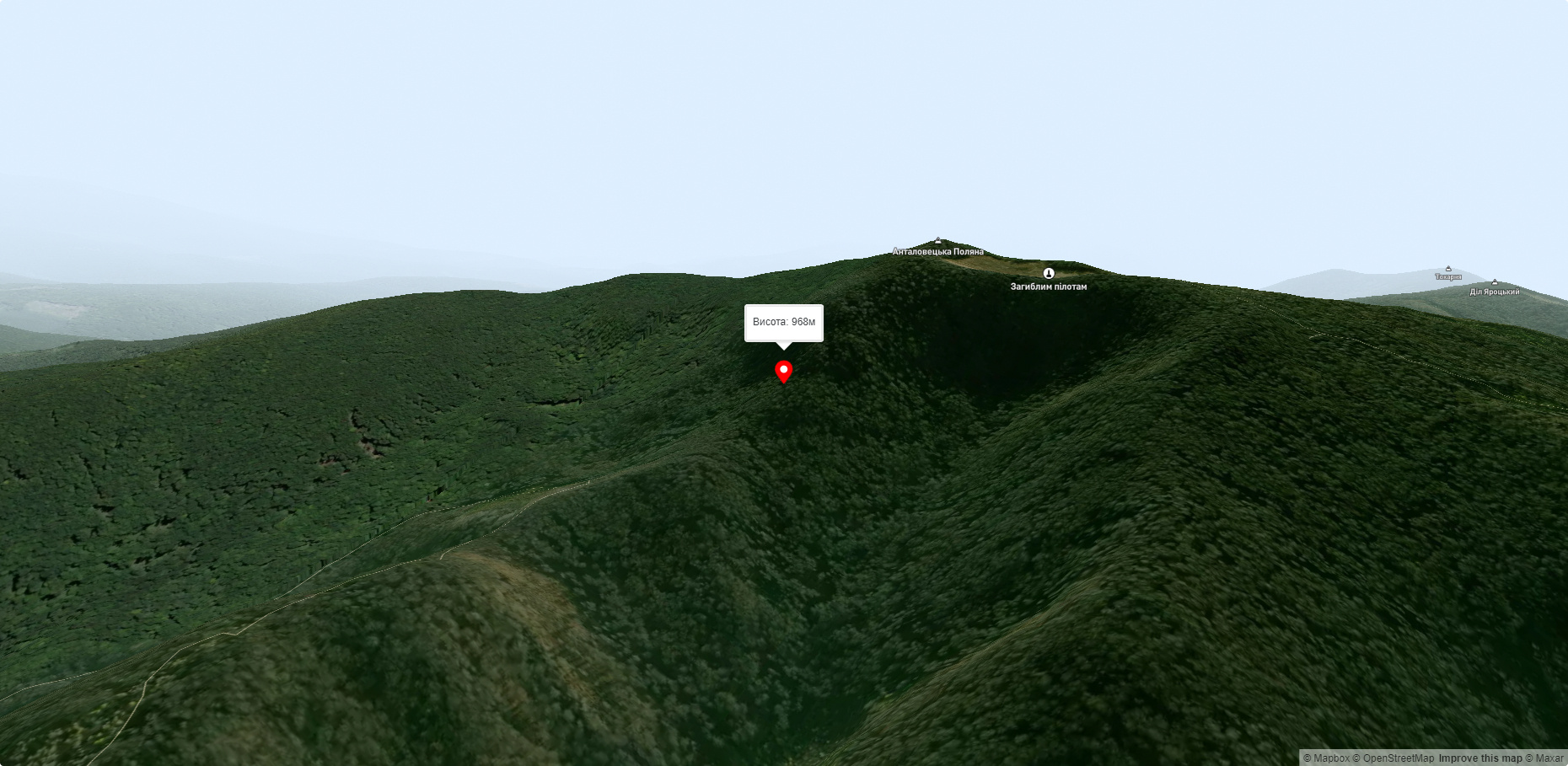
Mount Antalovetska Polyana is a 968-meter high peak of the Ukrainian Carpathians, located in the western part of the Makovets mountain range on the border of two districts of Zakarpattia region - Uzhhorod and Perechyn.
The slopes of the mountain are very steep in the north and northwest directions, and gentler in the south and east. The peak is almost completely covered with oak, beech, and hornbeam forests.
To the north of the Antalovetska Polyana mountain is the Synatoria mountain. Synatoria, to the east - Mount Makovytsia, to the southwest - Mount Dil. The western slopes of the mountain descend into the valley of the Uzh River, the northern slopes - into the valley of the Turya River.
The nearest settlements are the villages of Kamianytsia, Orikhovytsia and Antalovtsi in Uzhhorod district, Zakarpattia region.
Interesting facts:
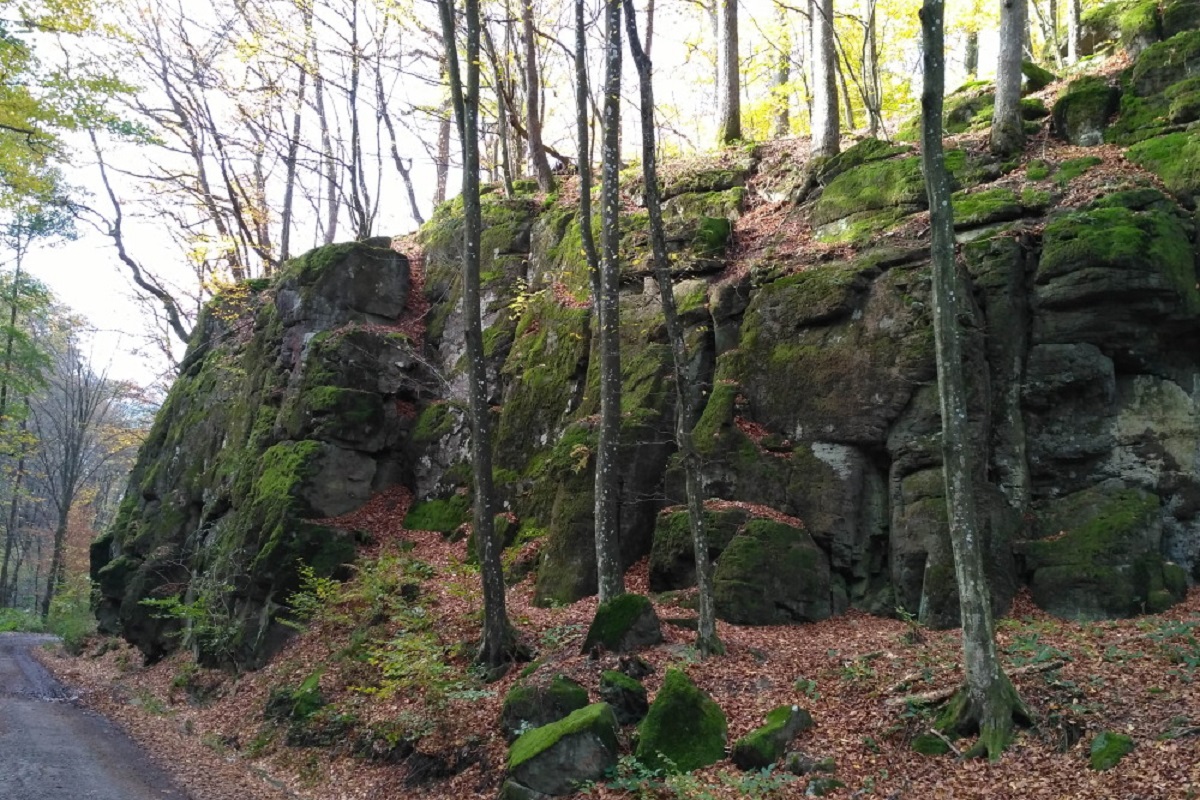
- On the top of the mountain and on its slopes there are many traces of Antalovetska Polyana's turbulent past;
- at the very top there is a funnel-shaped depression formed as a result of an ancient volcanic eruption. From the east, the crater is surrounded by a picturesque group of basalt cliffs;
- To the north of the summit, at an altitude of 700 meters, there is the Vorochevske Lake of volcanic origin;
- In the valley of the Uzh River (on the north-eastern outskirts of the village of Kamianytsi), the Vorochiv cliffs (locally known as Skalka) hang over the water. Above them, in the direction of Antalovetska Polyana, the Stone Flower grew out of the rock - volcanic lava collided with water and quickly froze, forming the shape of a flower's pedicle.
Accommodation around Mount Antalovetska Polyana:


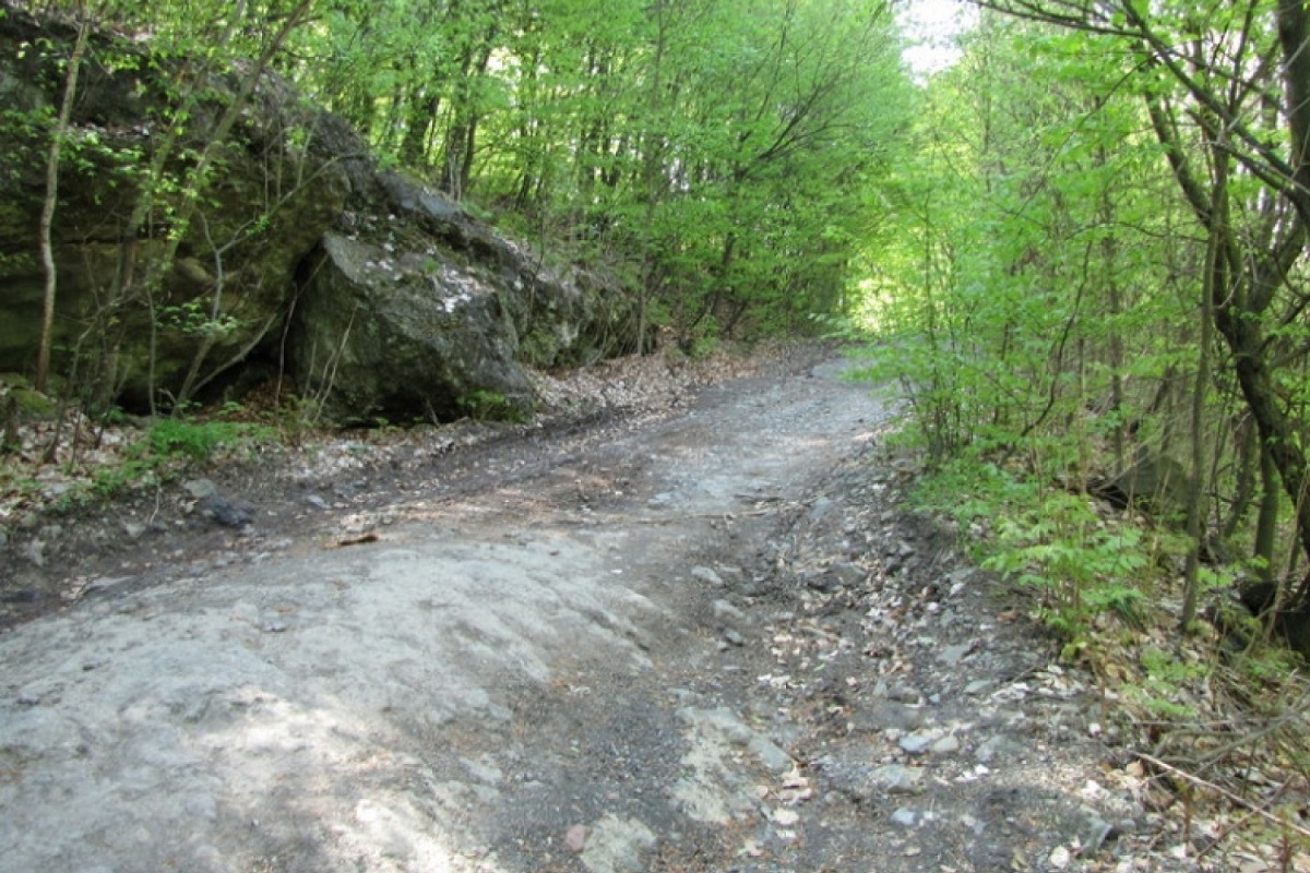
Nearby hiking trails near Mount Antalovetska Polyana:
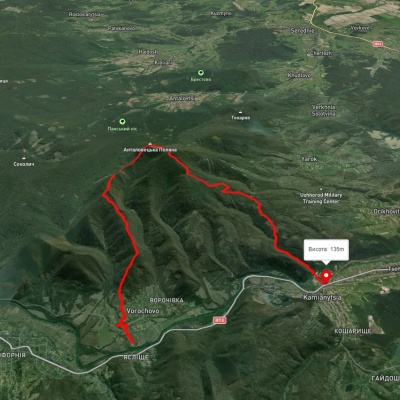
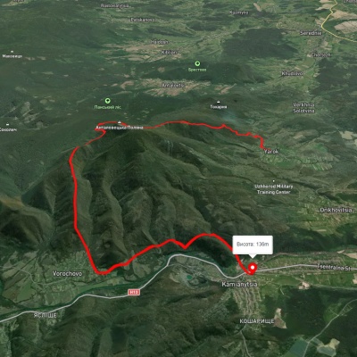
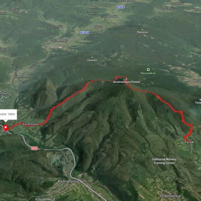
Які маршрути проходять повз Mount Antalovetska Polyana?
Пропонуємо пройти такі туристичні (пішохідні) маршрути через/біля Mount Antalovetska Polyana: с. Ворочево, через Анталовецьку Поляну до с. Кам'яниця, с. Ярок, через Анталовецьку Поляну до с. Невицьке, с. Ярок, через Анталовецьку Поляну до с. Ворочово, Лумшори Невицький замок, с. Кам'яниця, через Анталовецьку Поляну до с. Тур'ї Ремети, с. Кам'яниця, через Анталовецьку Поляну, с. Ярок до м. Ужгород